Knee of Scabra
Coastal Feature, Headland, Point in Orkney
Scotland
Knee of Scabra
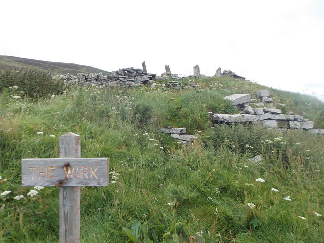
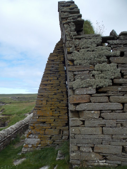
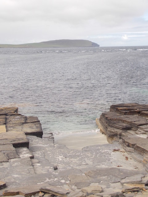
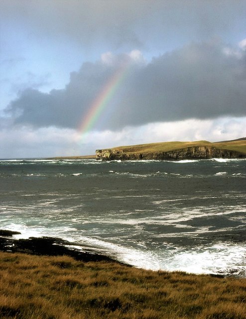
Knee of Scabra is a prominent coastal feature located on the western coast of the Orkney Islands in Scotland. It is a headland that juts out into the North Atlantic Ocean, forming a distinctive point along the rugged coastline. The name "Knee of Scabra" is derived from its unique shape, resembling the bent knee of a person.
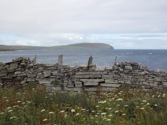
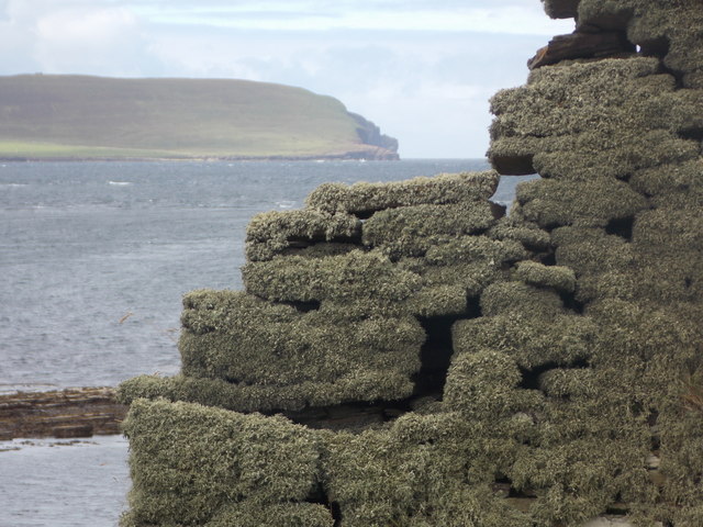
This headland is composed of a mix of sedimentary and volcanic rocks, offering a diverse geological landscape. The cliffs that surround Knee of Scabra are characterized by their dramatic height, reaching up to 150 feet (46 meters) in some places. These cliffs provide nesting grounds for various seabirds, including puffins, fulmars, and razorbills.
The area surrounding Knee of Scabra is also known for its rich marine life. The strong currents and nutrient-rich waters attract a variety of fish species, making it a popular spot for anglers. Additionally, the rocky shores and shallow waters are home to a diverse range of marine organisms, such as crabs, starfish, and seaweed.
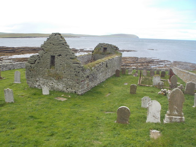
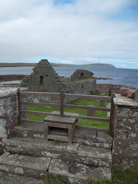
Visitors to Knee of Scabra can enjoy breathtaking views of the surrounding coastline and the open sea. The headland offers several walking trails that lead to different vantage points, allowing visitors to appreciate the natural beauty of this coastal feature. It is also a popular destination for birdwatching enthusiasts, who can observe the numerous seabird colonies that inhabit the cliffs.
Overall, Knee of Scabra is a stunning and ecologically diverse headland, offering a unique experience for nature lovers and outdoor enthusiasts visiting the Orkney Islands.
If you have any feedback on the listing, please let us know in the comments section below.
Knee of Scabra Images
Images are sourced within 2km of 59.162386/-3.1151294 or Grid Reference HY3631. Thanks to Geograph Open Source API. All images are credited.
Knee of Scabra is located at Grid Ref: HY3631 (Lat: 59.162386, Lng: -3.1151294)
Unitary Authority: Orkney Islands
Police Authority: Highlands and Islands
What 3 Words
///cuter.grumble.curls. Near Evie, Orkney Islands
Nearby Locations
Related Wikis

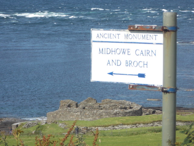
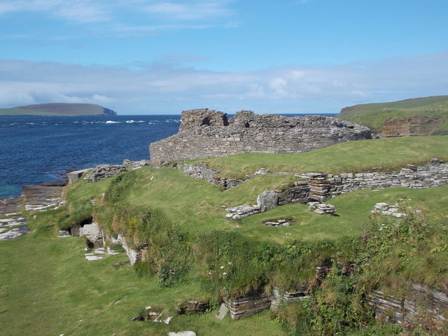
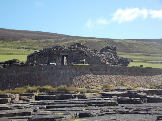
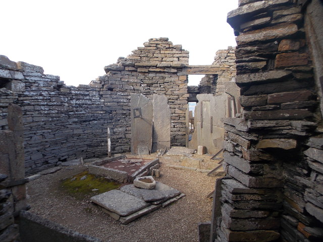
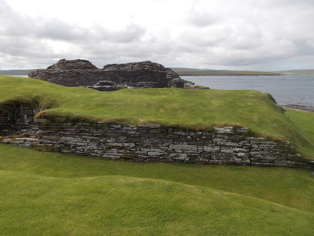
Midhowe Broch
Midhowe Broch () is an Iron Age broch located on the west coast of the island of Rousay in the Orkney Islands, in Scotland. == Description == Midhowe...

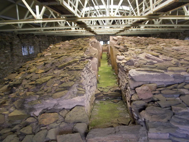
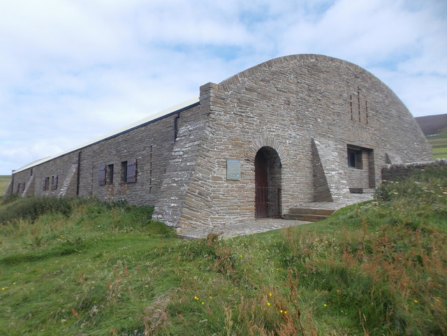
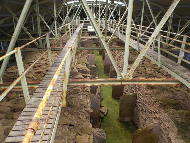
Midhowe Chambered Cairn
Midhowe Chambered Cairn is a large Neolithic chambered cairn located on the south shore of the island of Rousay, Orkney, Scotland. The name "Midhowe" comes...

Knowe of Swandro
The Knowe of Swandro is an archaeological site located on the Bay of Swandro on Rousay in Orkney, Scotland. The site consists of a 5000-year-old Neolithic...

Eynhallow
Eynhallow (Scots: Eynhallow; Old Norse: Eyinhelga; Norn: Øjinhellig) is a small, presently uninhabited island, part of Orkney, off the north coast of mainland...
Eynhallow Church
Eynhallow Church is a ruined medieval church located on the uninhabited island of Eynhallow in Orkney, Scotland. The church dates back to the 12th-century...
Muckle Water
Muckle Water is a long, narrow fresh water loch on Ward Hill on Rousay, Orkney, Scotland. It is the biggest loch on the island and is popular for fishing...

Eynhallow Sound
Eynhallow Sound is a seaway lying between Mainland Orkney and the island of Rousay in the Orkney Islands, Scotland. The tidal indraught is "scarcely felt...

Point of Hellia
The Point of Hellia is a headland on the northwest coast of the Orkney Mainland, Scotland. This landform extends into the southern part of Eynhallow Sound...
Have you been to Knee of Scabra?
Leave your review of Knee of Scabra below (or comments, questions and feedback).