Switha
Island in Orkney
Scotland
Switha
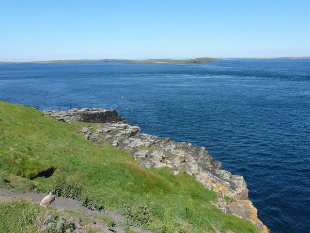
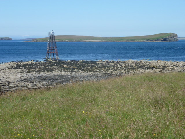
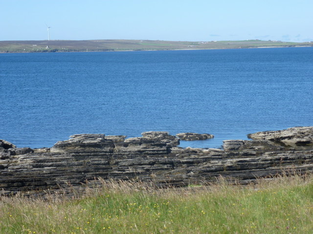
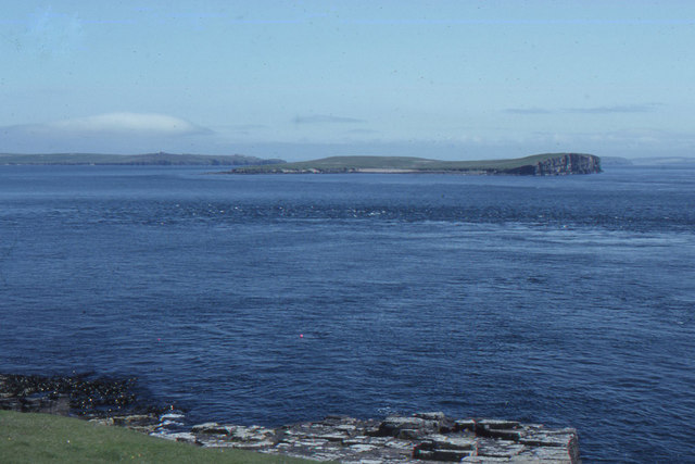
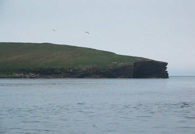
Switha is a small uninhabited island located off the west coast of Orkney, Scotland. It is situated approximately 5 kilometers southwest of the island of Flotta and covers an area of around 102 hectares. Switha is characterized by its rugged and rocky terrain, with its highest point reaching about 42 meters above sea level.
The island is primarily composed of Old Red Sandstone, giving it a distinctive reddish-brown color. Switha is surrounded by clear blue waters and offers stunning views of the neighboring islands and the Atlantic Ocean.
Although uninhabited, Switha has a rich history. Archaeological evidence suggests that the island was inhabited during the Neolithic period, and remnants of ancient structures, including a chambered tomb and a stone circle, can still be found today. These historical sites provide insights into the island's significance during prehistoric times.
Due to its remote location and lack of amenities, Switha is not accessible to the general public. However, the island can be visited by boat excursions that operate in the area, allowing visitors to enjoy its natural beauty and explore its archaeological sites.
Switha is also home to a diverse range of wildlife, including seabirds, seals, and occasional sightings of whales and dolphins. The island's untouched and unspoiled environment makes it a haven for nature enthusiasts and birdwatchers.
In conclusion, Switha is a captivating and historically significant uninhabited island in Orkney, Scotland. Its rugged landscapes, ancient structures, and abundant wildlife make it a unique destination for those seeking to explore the natural wonders of this remote corner of Scotland.
If you have any feedback on the listing, please let us know in the comments section below.
Switha Images
Images are sourced within 2km of 58.799199/-3.1031582 or Grid Reference ND3690. Thanks to Geograph Open Source API. All images are credited.


Switha is located at Grid Ref: ND3690 (Lat: 58.799199, Lng: -3.1031582)
Unitary Authority: Orkney Islands
Police Authority: Highlands and Islands
What 3 Words
///partner.chair.proudest. Near Lyness, Orkney Islands
Related Wikis

Switha
Switha is a small uninhabited island towards the south of Orkney, Scotland, approximately 41 hectares in area. == Geography and geology == Switha lies...
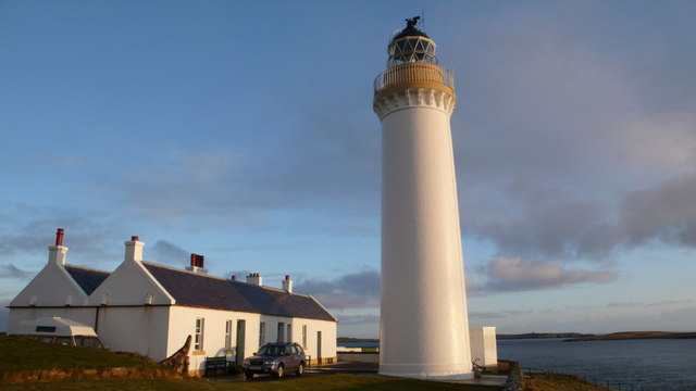
Cantick Head Lighthouse
The Cantick Head Lighthouse is an active 19th century lighthouse on the Scottish island of South Walls in the Orkney Islands. It is located at the end...

Hackness Martello Tower and Battery
Hackness Martello Tower and Battery is a British Army barracks and museum located on the island of South Walls, in Orkney, Scotland. == History == The...

Whome
Whome is the largest settlement on the Orkney island of Flotta, Scotland. The village is situated on the B9046, the main road across Flotta. Views from...
Nearby Amenities
Located within 500m of 58.799199,-3.1031582Have you been to Switha?
Leave your review of Switha below (or comments, questions and feedback).