Stooun

Coastal Feature, Headland, Point in Orkney

Scotland

Stooun

Castlehill, Evie, Orkney The Ordnance Survey Name Book of 1879-80 describes Castlehill as a croft house.  At that time it had a thatched roof and was in good repair.  It was owned by a Dr Still.
Castlehill, Evie, Orkney Credit: Claire Pegrum

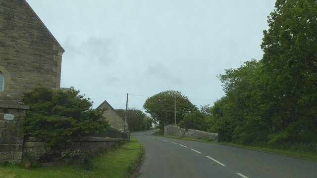
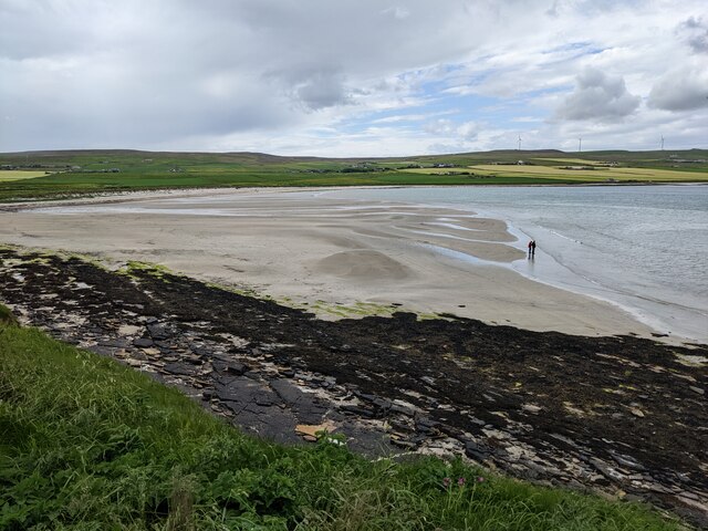
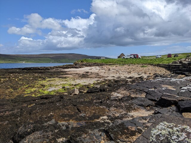
Stooun is a prominent coastal feature located on the Orkney Islands, situated off the northeastern coast of Scotland. It is specifically found on the mainland of Orkney, near the town of Stromness. Stooun is a headland or point that juts out into the North Atlantic Ocean, offering stunning views of the surrounding seascape.

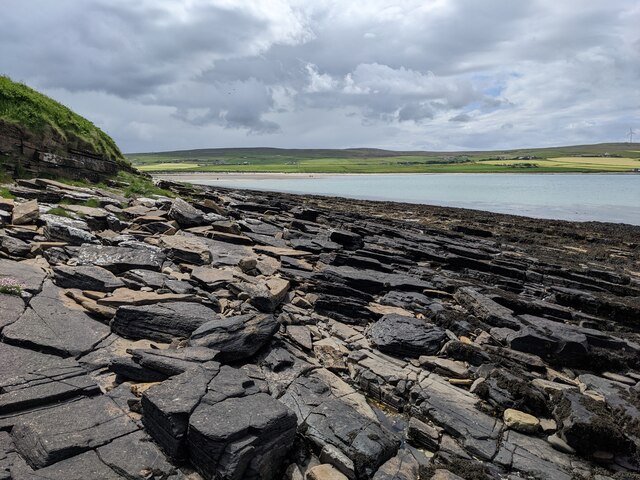
The area surrounding Stooun is characterized by rugged cliffs, formed from layers of sedimentary rock that have been eroded over time by the relentless waves. These cliffs provide a natural barrier, protecting the nearby coastline from the powerful forces of the ocean. The rocks at Stooun are predominantly composed of sandstone and shale, displaying fascinating geological formations and patterns.

From Stooun, visitors can witness the forces of nature at work, as the crashing waves constantly shape and reshape the coastline. The headland also serves as a habitat for various seabird species, including gulls, puffins, and fulmars, which can be seen soaring above the cliffs or perched on the rocky ledges.

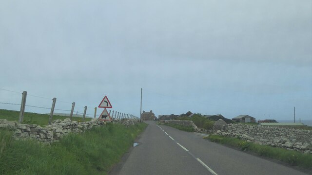
Access to Stooun is relatively easy, with a footpath leading from the nearby town of Stromness. The path provides an enjoyable hike along the coastline, offering opportunities for nature enthusiasts and photographers to capture the stunning scenery.

Stooun is a must-visit destination for those seeking a unique coastal experience in Orkney. Its rugged beauty, geological significance, and abundant wildlife make it an appealing location for both locals and tourists alike.

If you have any feedback on the listing, please let us know in the comments section below.

Stooun Images

Images are sourced within 2km of 59.123699/-3.1137668 or Grid Reference HY3626. Thanks to Geograph Open Source API. All images are credited.

Castlehill, Evie, Orkney The Ordnance Survey Name Book of 1879-80 describes Castlehill as a croft house.  At that time it had a thatched roof and was in good repair.  It was owned by a Dr Still.
Castlehill, Evie, Orkney
The Ordnance Survey Name Book of 1879-80 describes Castlehill as a croft house. At that time it had a thatched roof and was in good repair. It was owned by a Dr Still.
Entrance to the Broch of Gurness The broch is surrounded by the stonework of neolithic dwellings.
Entrance to the Broch of Gurness
The broch is surrounded by the stonework of neolithic dwellings.
Neolithic dwellings at the Broch of Gurness Looking across Eynhallow Sound to Rousay.
Neolithic dwellings at the Broch of Gurness
Looking across Eynhallow Sound to Rousay.
Neolithic dwellings at the Broch of Gurness
A966 at Georth, Orkney
A966 by Burgar House, Orkney
A vegetated verge by the storage area
Two figures on the Sands of Evie
Shattered sandstone slabs at the Point of Hellia
Sand and slabs below the car park
The wall and ditch of the Broch of Gurness
The complex interior of the Broch of Gurness With Eynhallow Sound in the background.
The complex interior of the Broch of Gurness
With Eynhallow Sound in the background.
Broch of Gurness - Ancillary building - foundations These foundations belong to an ancillary building on the western edge of the Broch of Gurness site near to the (modern) reception building. They are roughly circular in shape and probably belong to the Viking period of around 500AD as opposed to the Broch itself which is around a thousand years older.
See also shared description below:
Broch of Gurness - Ancillary building - foundations
These foundations belong to an ancillary building on the western edge of the Broch of Gurness site near to the (modern) reception building. They are roughly circular in shape and probably belong to the Viking period of around 500AD as opposed to the Broch itself which is around a thousand years older. See also shared description below:
Broch of Gurness - Ancillary building with cist-like chamber This building is near to the entrance to the Broch of Gurness site. The most interesting feature of this structure is the stone-lined 'box' in the midst of it. It looks like a cist (see shared description below) but may have actually been for storage or some other purpose.
Broch of Gurness - Ancillary building with cist-like chamber
This building is near to the entrance to the Broch of Gurness site. The most interesting feature of this structure is the stone-lined 'box' in the midst of it. It looks like a cist (see shared description below) but may have actually been for storage or some other purpose.
Broch of Gurness - Northern aspect Looking from near to <a href="https://www.geograph.org.uk/photo/7561702">HY3826 : Broch of Gurness - Ancillary building with cist-like chamber</a> eastwards along the northern side of the Broch of Gurness complex with the coast along Eynhallow Sound to the left.
Broch of Gurness - Northern aspect
Looking from near to HY3826 : Broch of Gurness - Ancillary building with cist-like chamber eastwards along the northern side of the Broch of Gurness complex with the coast along Eynhallow Sound to the left.
Broch of Gurness - Site from the west Looking from near to the entrance to the Broch of Gurness site (but on the opposite side to the entrance to the broch itself) directly eastwards with the central mound of the broch directly ahead. The Pictish/Iron Age broch is the oldest known part of the site with the mainly Viking "village" having grown up around it.
See shared descriptions below for more information and links:
Broch of Gurness - Site from the west
Looking from near to the entrance to the Broch of Gurness site (but on the opposite side to the entrance to the broch itself) directly eastwards with the central mound of the broch directly ahead. The Pictish/Iron Age broch is the oldest known part of the site with the mainly Viking "village" having grown up around it. See shared descriptions below for more information and links:
Broch of Gurness - View along southern aspect with ditch There are several ditches which surround the central Pictish/Iron Age broch at the Broch of Gurness site with the Viking village interspersed among them. This view is along the mid-southern section of the site, there is a further outer ditch beyond this one.
Broch of Gurness - View along southern aspect with ditch
There are several ditches which surround the central Pictish/Iron Age broch at the Broch of Gurness site with the Viking village interspersed among them. This view is along the mid-southern section of the site, there is a further outer ditch beyond this one.
Broch of Gurness - Ditch with side and cross walls This section of the ditch surrounding the Pictish/Iron Age broch has stonework both on its sides and crossing it. The masonry is likely later than the broch itself perhaps by as much as a thousand years.
For a closer view of these walls, see <a href="https://www.geograph.org.uk/photo/7561723">HY3826 : Broch of Gurness - Stone walls across ditch</a>
Broch of Gurness - Ditch with side and cross walls
This section of the ditch surrounding the Pictish/Iron Age broch has stonework both on its sides and crossing it. The masonry is likely later than the broch itself perhaps by as much as a thousand years. For a closer view of these walls, see HY3826 : Broch of Gurness - Stone walls across ditch
Show me another place!

Stooun is located at Grid Ref: HY3626 (Lat: 59.123699, Lng: -3.1137668)

Unitary Authority: Orkney Islands

Police Authority: Highlands and Islands

What 3 Words

///equipment.polite.attending. Near Evie, Orkney Islands

Related Wikis

Aikerness Bay

Aikerness Bay is an embayment of Eynhallow Sound on the northwest coast of Mainland Orkney, Scotland. The headlands of Point of Hellia at the east and...

Evie, Orkney

Evie (pronounced ) is a parish and village on Mainland, Orkney, Scotland. The parish is located in the north-west of the Mainland, between Birsay and Rendall...

Sands of Evie

The Sands of Evie is a sandy beach landform near the village of Evie on Mainland Orkney, Scotland, protected by the Point of Hellia headland. This beach...

Point of Hellia

The Point of Hellia is a headland on the northwest coast of the Orkney Mainland, Scotland. This landform extends into the southern part of Eynhallow Sound...
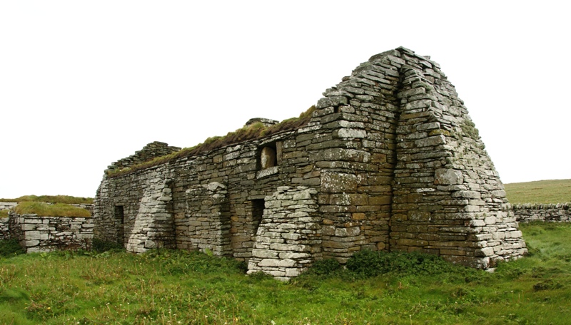
Eynhallow Church

Eynhallow Church is a ruined medieval church located on the uninhabited island of Eynhallow in Orkney, Scotland. The church dates back to the 12th-century...
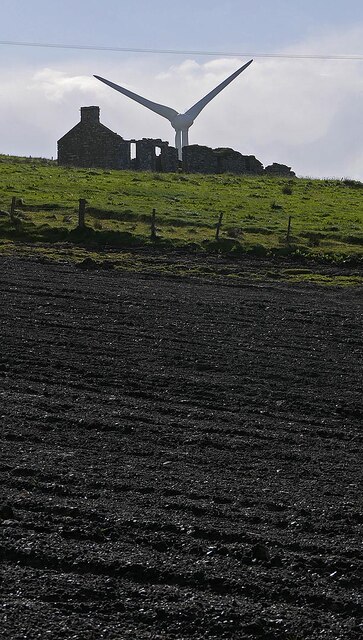
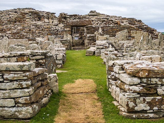
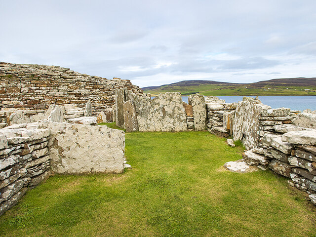
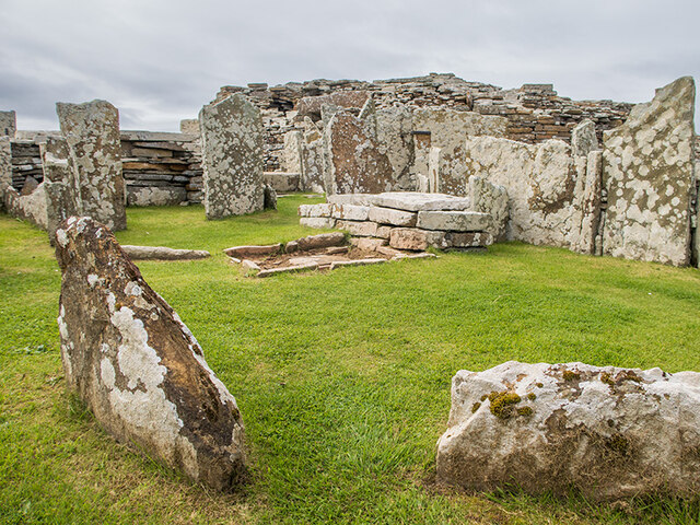
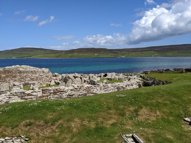
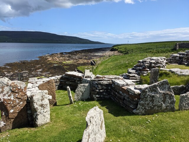
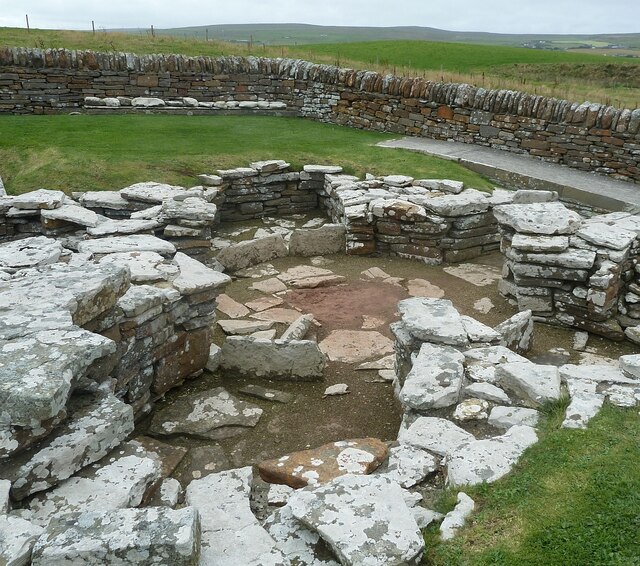
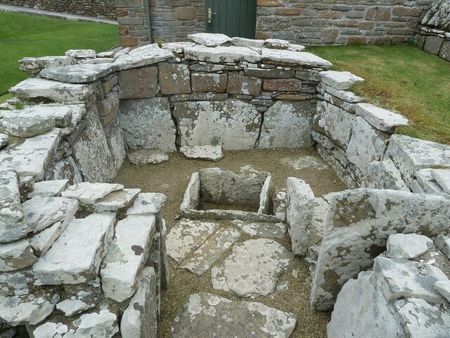
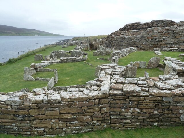
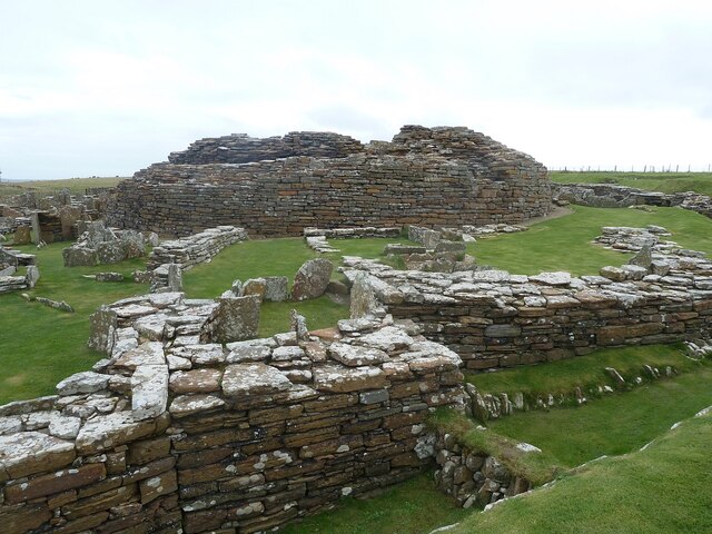
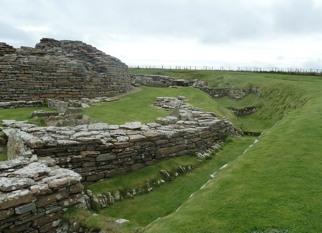
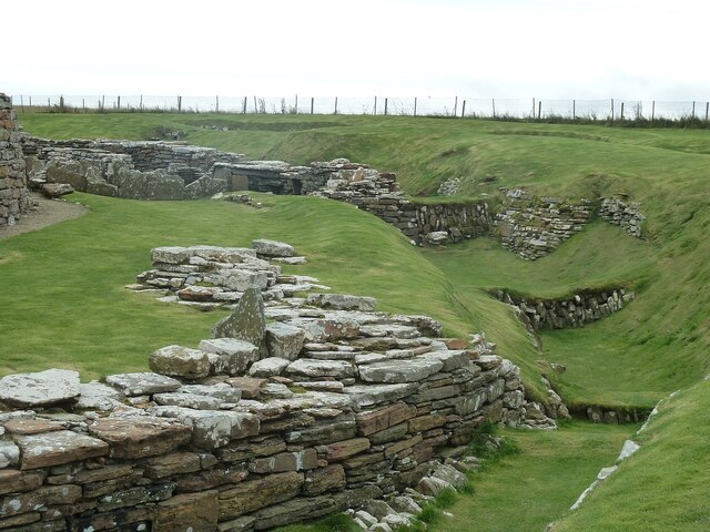
Broch of Gurness

The Broch of Gurness is an Iron Age broch village on the northeast coast of Mainland Orkney in Scotland overlooking Eynhallow Sound, about 15 miles north...

Eynhallow Sound

Eynhallow Sound is a seaway lying between Mainland Orkney and the island of Rousay in the Orkney Islands, Scotland. The tidal indraught is "scarcely felt...

Eynhallow

Eynhallow (Scots: Eynhallow; Old Norse: Eyinhelga; Norn: Øjinhellig) is a small, presently uninhabited island, part of Orkney, off the north coast of mainland...

Have you been to Stooun?

Leave your review of Stooun below (or comments, questions and feedback).