Kitta Taing
Coastal Feature, Headland, Point in Orkney
Scotland
Kitta Taing
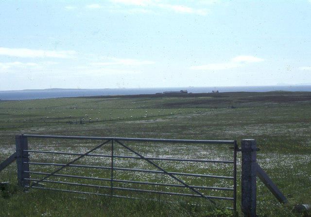
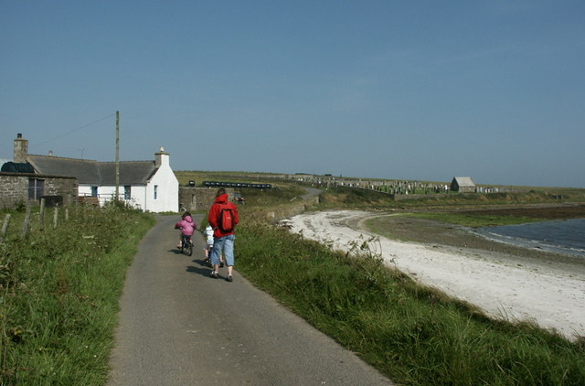
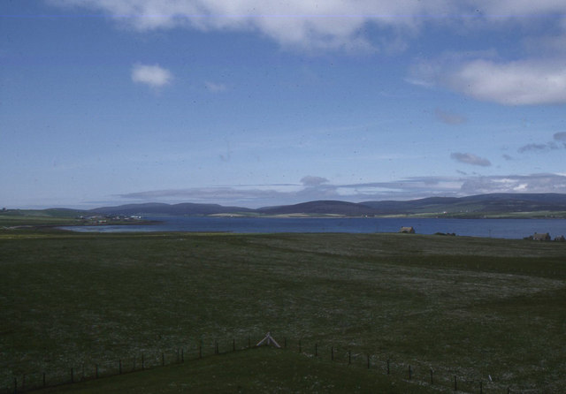
Kitta Taing is a coastal feature located in Orkney, Scotland. It is a headland that juts out into the North Sea, offering stunning views of the surrounding waters. The headland is characterized by rugged cliffs and rocky outcrops, which provide a habitat for a variety of seabirds such as puffins, guillemots, and razorbills.
Kitta Taing is a popular spot for birdwatching and photography, as well as for enjoying the peaceful and remote beauty of the Orkney coastline. The headland is also a great place for hiking and exploring, with several walking trails leading along the cliffs and down to the shoreline.
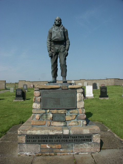
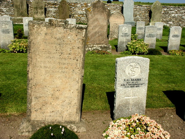
The area around Kitta Taing is rich in history, with several archaeological sites nearby, including ancient settlements, burial mounds, and standing stones. Visitors to the headland can learn about the fascinating history of Orkney while taking in the natural beauty of the rugged coastline.
Overall, Kitta Taing is a must-visit destination for nature lovers, history buffs, and anyone looking to experience the wild and untamed beauty of the Orkney Islands.
If you have any feedback on the listing, please let us know in the comments section below.
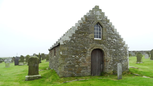
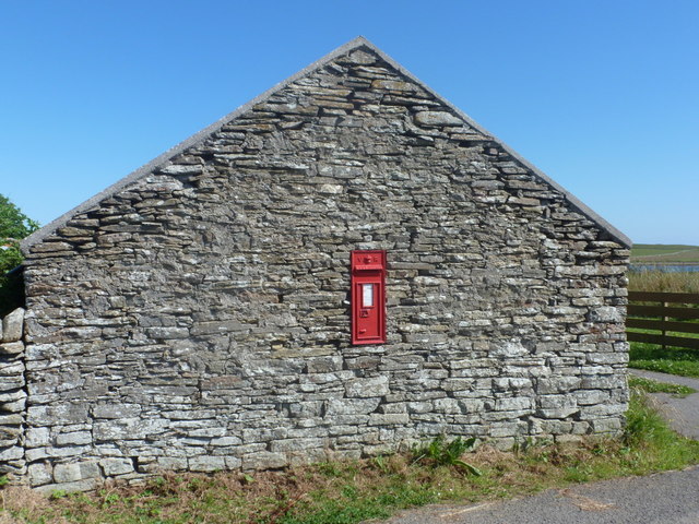
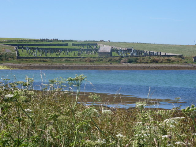
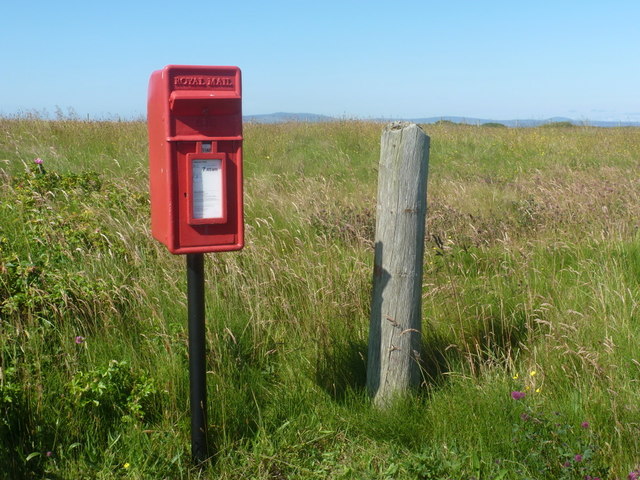
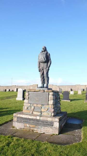
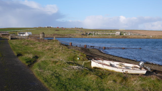
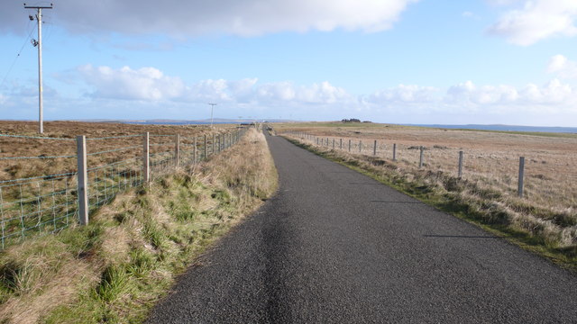
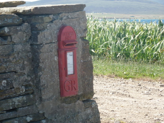
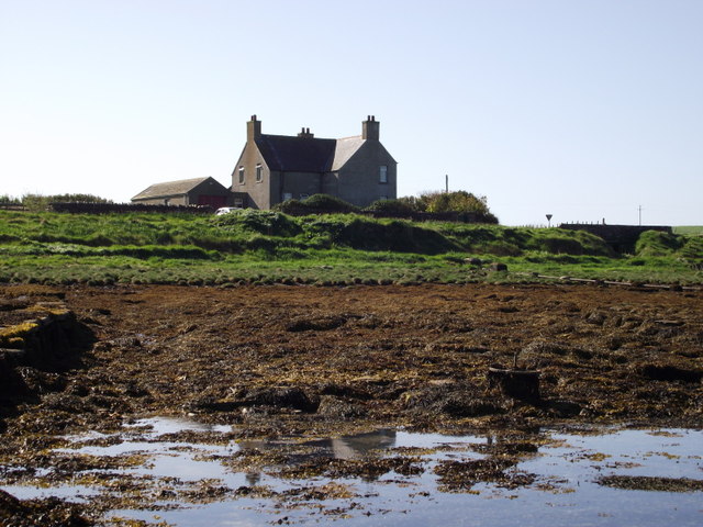
Kitta Taing Images
Images are sourced within 2km of 58.80377/-3.1605596 or Grid Reference ND3391. Thanks to Geograph Open Source API. All images are credited.
Kitta Taing is located at Grid Ref: ND3391 (Lat: 58.80377, Lng: -3.1605596)
Unitary Authority: Orkney Islands
Police Authority: Highlands and Islands
What 3 Words
///bucked.mixture.crunched. Near Lyness, Orkney Islands
Nearby Locations
Related Wikis

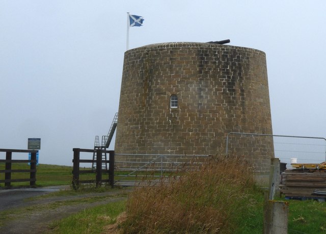
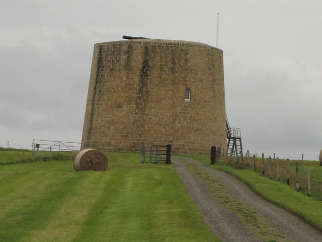
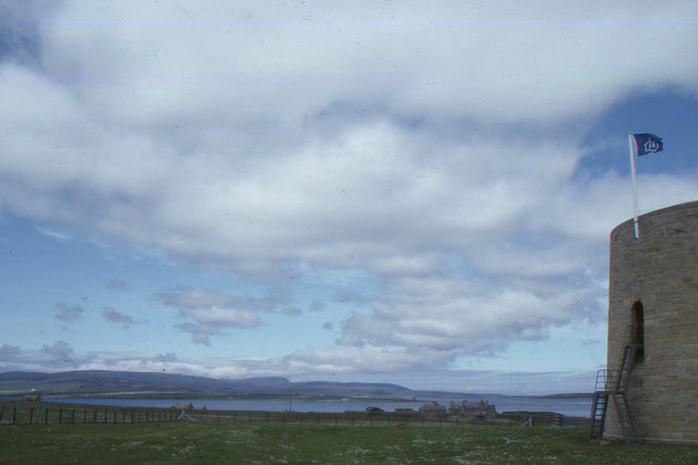
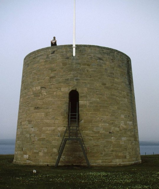
Hackness Martello Tower and Battery
Hackness Martello Tower and Battery is a British Army barracks and museum located on the island of South Walls, in Orkney, Scotland. == History == The...

South Walls
South Walls (Scots: Sooth Waas), often referred to as Walls, is an inhabited island adjacent to Hoy in Orkney, Scotland. The name is a corruption of "Sooth...

Crockness Martello tower
Crockness Martello Tower is a Martello Tower on Hoy, Orkney, Scotland. It was built during the Napoleonic Wars, at the same time as the Martello Tower...
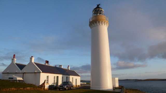
Cantick Head Lighthouse
The Cantick Head Lighthouse is an active 19th century lighthouse on the Scottish island of South Walls in the Orkney Islands. It is located at the end...
Nearby Amenities
Located within 500m of 58.80377,-3.1605596Have you been to Kitta Taing?
Leave your review of Kitta Taing below (or comments, questions and feedback).