Misbister Geo
Coastal Feature, Headland, Point in Orkney
Scotland
Misbister Geo
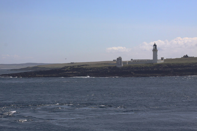
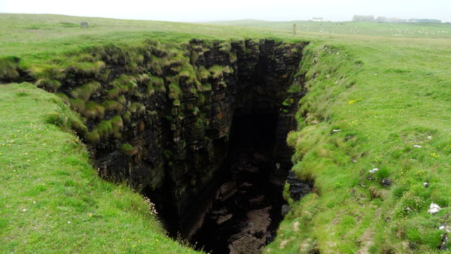
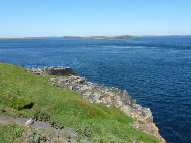
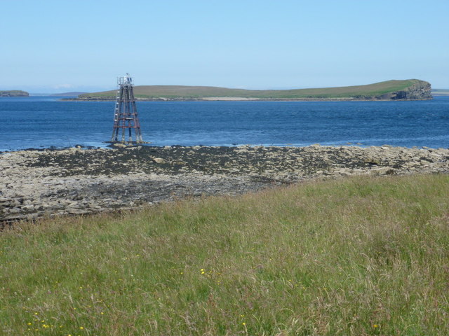
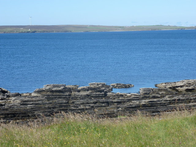
Misbister Geo is a prominent coastal feature located on the island of Orkney, an archipelago in Scotland. It is situated on the western coast of the island, near the village of Birsay. Misbister Geo is a headland that juts out into the Atlantic Ocean, offering breathtaking views of the surrounding rugged coastline and expansive sea.
This coastal feature is characterized by steep cliffs that tower above the crashing waves below. The cliffs are made up of layers of sedimentary rock, showcasing the geological history of the area. The rocks exhibit various colors, ranging from shades of red and brown to gray and yellow, creating a visually striking landscape.
At the base of the cliffs, there are rocky shores and small pebble beaches, providing a habitat for numerous marine species. The area around Misbister Geo is known for its rich biodiversity, with a variety of seabirds, including gulls and fulmars, nesting on the cliffs. Seals can often be spotted lounging on the rocks, while dolphins and whales occasionally pass by in the deep waters.
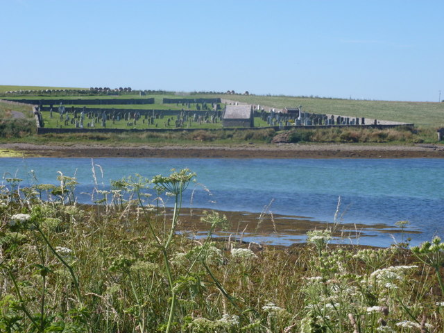
The headland is a popular spot for hikers and nature enthusiasts, offering opportunities for coastal walks and birdwatching. It is also a site of historical significance, with the ruins of Birsay Palace nearby, an ancient Norse settlement. Misbister Geo provides visitors with a unique blend of natural beauty, wildlife, and cultural heritage, making it a must-visit destination for those exploring the enchanting Orkney Islands.
If you have any feedback on the listing, please let us know in the comments section below.
Misbister Geo Images
Images are sourced within 2km of 58.782062/-3.1595756 or Grid Reference ND3388. Thanks to Geograph Open Source API. All images are credited.


Misbister Geo is located at Grid Ref: ND3388 (Lat: 58.782062, Lng: -3.1595756)
Unitary Authority: Orkney Islands
Police Authority: Highlands and Islands
What 3 Words
///signs.capacity.influence. Near Lyness, Orkney Islands
Nearby Locations
Related Wikis

South Walls
South Walls (Scots: Sooth Waas), often referred to as Walls, is an inhabited island adjacent to Hoy in Orkney, Scotland. The name is a corruption of "Sooth...
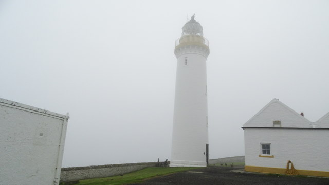
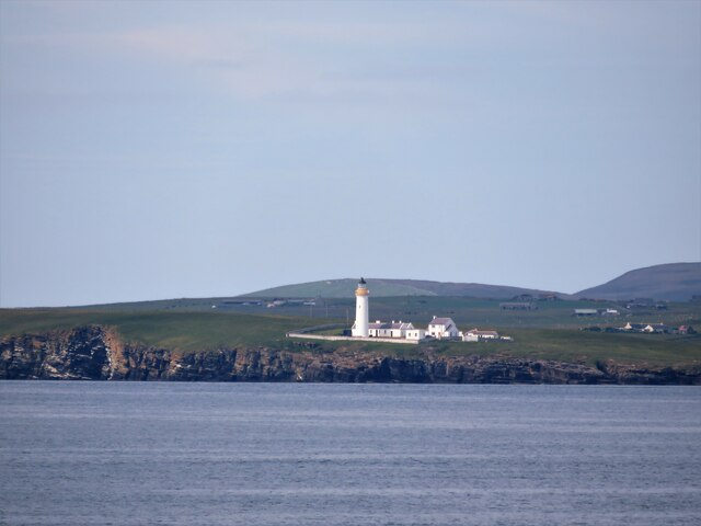
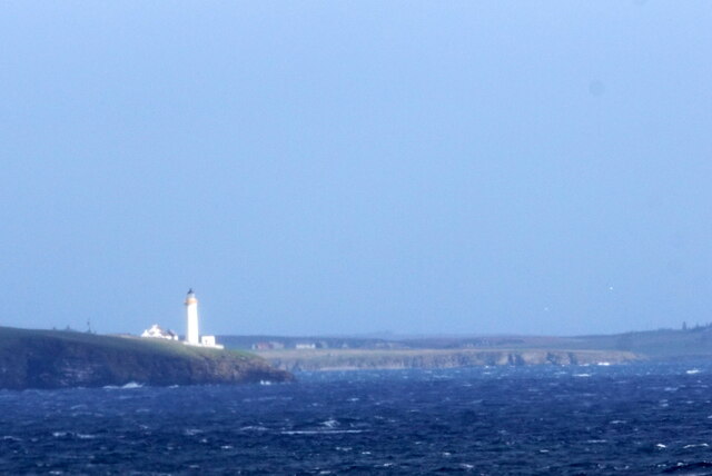
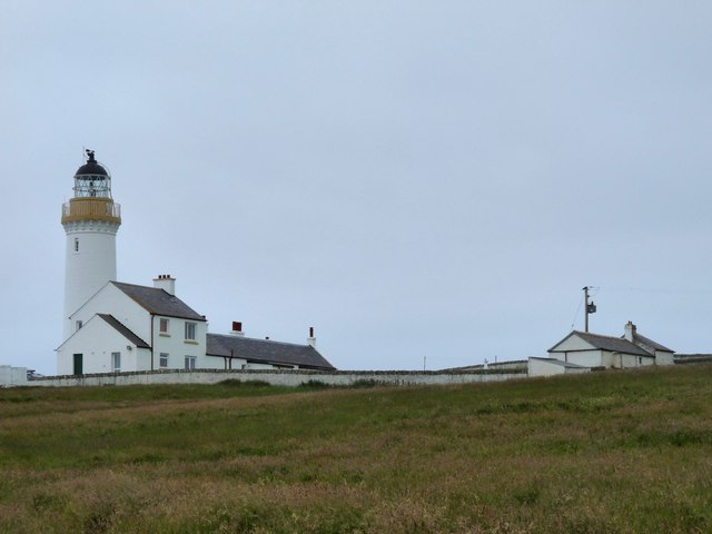
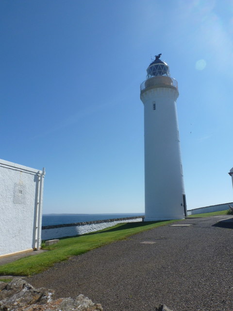
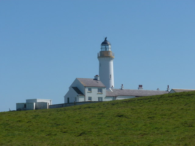
Cantick Head Lighthouse
The Cantick Head Lighthouse is an active 19th century lighthouse on the Scottish island of South Walls in the Orkney Islands. It is located at the end...

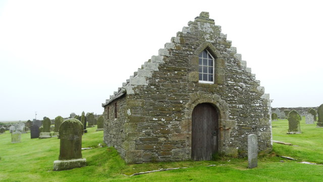
Hackness Martello Tower and Battery
Hackness Martello Tower and Battery is a British Army barracks and museum located on the island of South Walls, in Orkney, Scotland. == History == The...
Longhope, Orkney
Longhope is a coastal settlement on the island of South Walls, in Orkney, Scotland. South Walls is linked to Hoy by causeway; Longhope is the largest settlement...
Nearby Amenities
Located within 500m of 58.782062,-3.1595756Have you been to Misbister Geo?
Leave your review of Misbister Geo below (or comments, questions and feedback).