West Ebb

Coastal Feature, Headland, Point in Devon East Devon

England

West Ebb

Causeway in Beer
Causeway in Beer Credit: Steve Daniels

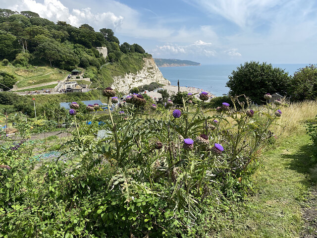
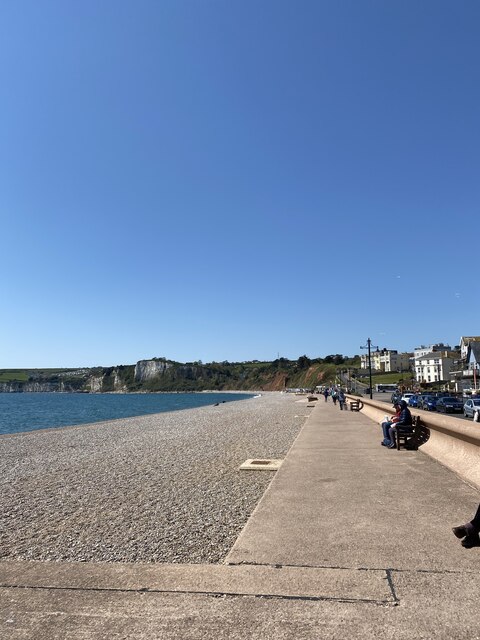
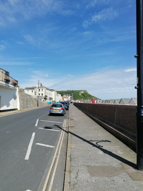
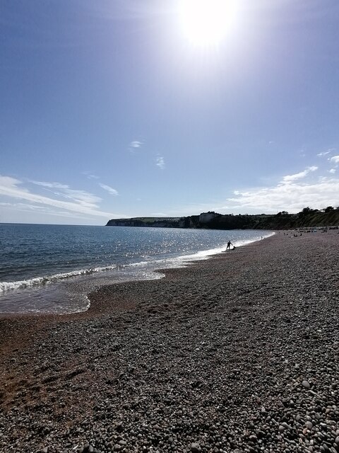
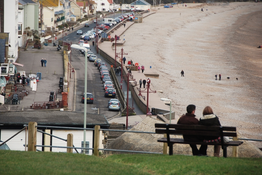
West Ebb is a prominent headland located in the coastal region of Devon, England. Situated on the southwest coast, it overlooks the vast expanse of the English Channel. Known for its rugged beauty and dramatic cliffs, West Ebb is a popular destination for nature enthusiasts and hikers.

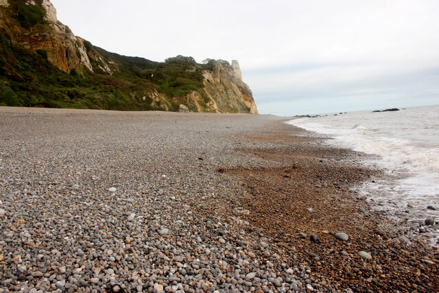
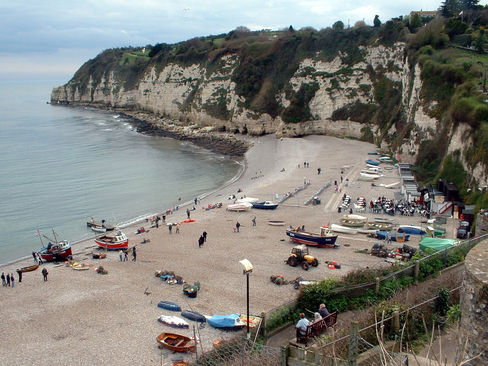
The headland is characterized by its steep slopes, which are primarily composed of sedimentary rocks such as sandstone and limestone. These cliffs provide a nesting site for various species of seabirds, including gulls and fulmars. The headland also offers stunning panoramic views of the surrounding coastline, making it a favorite spot for photographers and sightseers.

At the tip of West Ebb, there is a small, rocky point that extends into the sea. This point serves as a natural breakwater, protecting the nearby shoreline from erosion caused by the powerful waves. It also creates a sheltered cove on one side, where visitors can often find calm waters ideal for swimming and snorkeling.

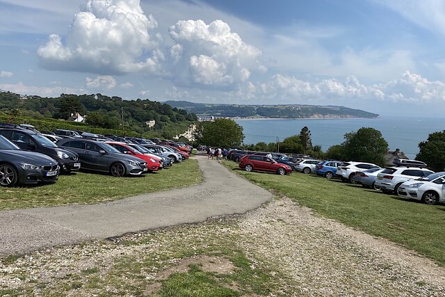
Access to West Ebb is facilitated by a well-maintained coastal path that winds its way along the cliff edge. This path offers breathtaking vistas, allowing visitors to fully appreciate the beauty of the headland and its surroundings. Additionally, there are several picnic areas and seating spots strategically placed along the path, providing opportunities for rest and relaxation.

West Ebb is a site of significant geological and ecological importance. Its towering cliffs and diverse wildlife make it an essential part of the Devon coastline, attracting nature lovers and outdoor enthusiasts from near and far.

If you have any feedback on the listing, please let us know in the comments section below.
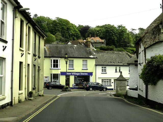
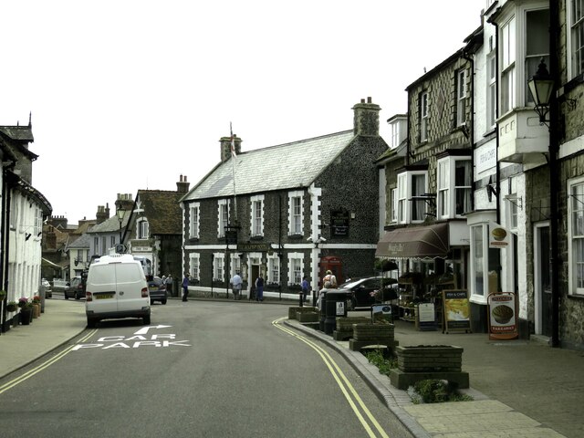
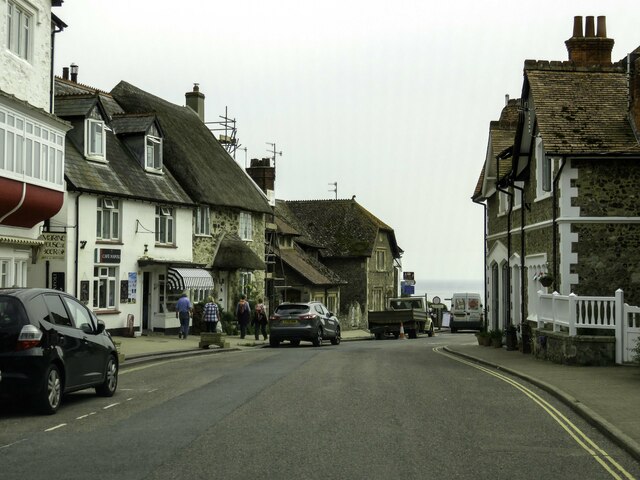
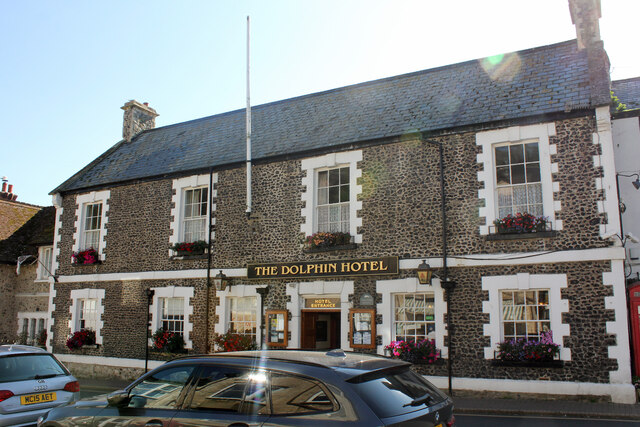
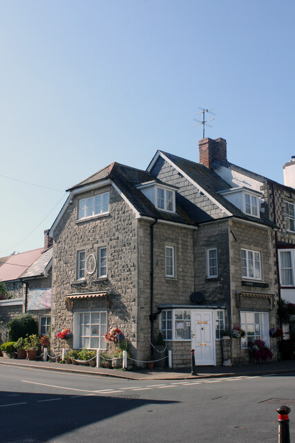
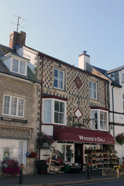
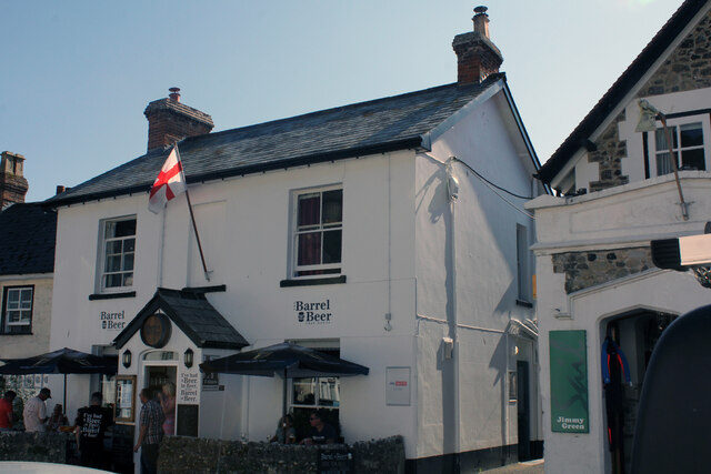
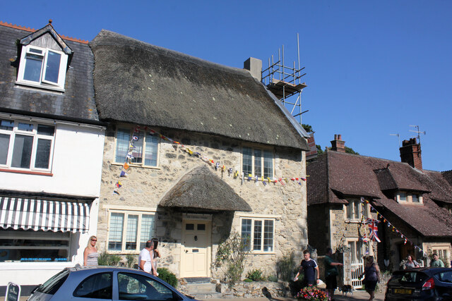
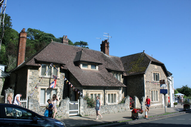
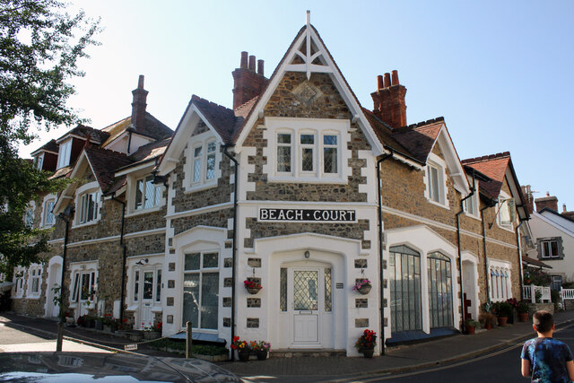
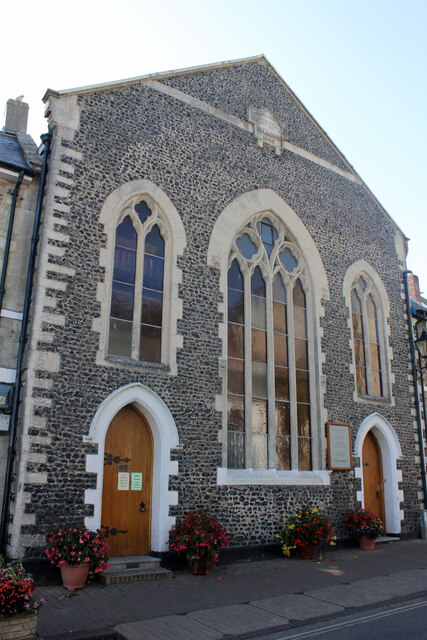
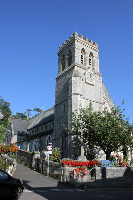
West Ebb Images

Images are sourced within 2km of 50.69374/-3.0924309 or Grid Reference SY2288. Thanks to Geograph Open Source API. All images are credited.

Causeway in Beer
Causeway in Beer
Fore Street in Beer
Fore Street in Beer
Fore Street in Beer
Fore Street in Beer
The Dolphin Hotel and Restaurant, Fore Street, Beer Grade II Listed mid 19th century hotel with 17th century northern wing remodelled early 19th century. The oldest directory I have is 1850 and Lucy Holmes is listed at the Dolphin. Interestingly, John Holmes is at the Anchor. Other directory entries include, 1878 Mrs Charlotte Good (also farmer) joined by Sarah Clarke in 1889, 1893 Sarah Clarke and 1902-1914 Herbert Northcott. In 1990 planning approved 'Change Of Use Of Public Bar To Antique Shop' (in the 17th century wing) and in 2005 and 2013 planning approved converting it back.
The Dolphin Hotel and Restaurant, Fore Street, Beer
Grade II Listed mid 19th century hotel with 17th century northern wing remodelled early 19th century. The oldest directory I have is 1850 and Lucy Holmes is listed at the Dolphin. Interestingly, John Holmes is at the Anchor. Other directory entries include, 1878 Mrs Charlotte Good (also farmer) joined by Sarah Clarke in 1889, 1893 Sarah Clarke and 1902-1914 Herbert Northcott. In 1990 planning approved 'Change Of Use Of Public Bar To Antique Shop' (in the 17th century wing) and in 2005 and 2013 planning approved converting it back.
Pegasus Cottage, Fore Street, Beer Pegasus House Gills corner was demolished 1950-55. This building presumably followed soon after.
Pegasus Cottage, Fore Street, Beer
Pegasus House Gills corner was demolished 1950-55. This building presumably followed soon after.
Woozie's Deli, Diamond House, Fore Street, Beer Grade II Listed early 19th century house with shop. 1999, East Devon Conservation Area Appraisals states that 'Diamond House is 17th century in origin...' Beer Village Design Statement Team, August 2006 repeat the same date. Pevsner tells us 'C17, with an especially effective mixture of flint and Beer stone'.
Woozie's Deli, Diamond House, Fore Street, Beer
Grade II Listed early 19th century house with shop. 1999, East Devon Conservation Area Appraisals states that 'Diamond House is 17th century in origin...' Beer Village Design Statement Team, August 2006 repeat the same date. Pevsner tells us 'C17, with an especially effective mixture of flint and Beer stone'.
Barrel of Beer, Fore Street, Beer Previously named the Barrel O’ Beer it was a public house until August 2012 when it changed into a licensed restaurant called the Seafood Platter.  It presumably changed back to the Barrel of Beer after being sold in June 2017. I can't find it in any directories I have that go up to 1914.
Barrel of Beer, Fore Street, Beer
Previously named the Barrel O’ Beer it was a public house until August 2012 when it changed into a licensed restaurant called the Seafood Platter. It presumably changed back to the Barrel of Beer after being sold in June 2017. I can't find it in any directories I have that go up to 1914.
The Captains Cottage, Fore Street, Beer Grade II Listed early 18th century cottage. Sold in September 2018 as 4 bedroom cottage it was listed in 1984 as The Cottage Restaurant. More recently (as photo in 2009) it has been Captains Cottage Tea Rooms.
The Captains Cottage, Fore Street, Beer
Grade II Listed early 18th century cottage. Sold in September 2018 as 4 bedroom cottage it was listed in 1984 as The Cottage Restaurant. More recently (as photo in 2009) it has been Captains Cottage Tea Rooms.
1, 2 and 3 Sunny Nook, Fore Street, Beer Grade II Listed range of 1894 cottages.
1, 2 and 3 Sunny Nook, Fore Street, Beer
Grade II Listed range of 1894 cottages.
Beach Court, Fore Street, Beer Originally 1903 built private house. Sold, probably in the 1920s, it became a hotel. It was converted from a hotel in the 1990s and is now flats.
Beach Court, Fore Street, Beer
Originally 1903 built private house. Sold, probably in the 1920s, it became a hotel. It was converted from a hotel in the 1990s and is now flats.
Congregational Church, Fore Street, Beer The church was opened in 1856 and was extended in 1880 and 1920. Originally installed in the Picture House in Walsall, the church's Wurlitzer pipe organ (Opus 956) is the oldest surviving Wurlitzer theatre organ in the UK that first played at the cinema in February 1925. In 1955 it was transplanted from the cinema into Dormston House in Sedgley but in 1958, the organ was removed and re-installed in the church by the Sweetland Organ Company of Bath. The organ was in a state of disrepair in 1987 and in 1988 some refurbishment was carried out and wiring faults corrected. Then in 2008, ‘Friends of Beer Wurly’, started to raise the funds to restore it. The restoration was eventually completed in late 2009.
Congregational Church, Fore Street, Beer
The church was opened in 1856 and was extended in 1880 and 1920. Originally installed in the Picture House in Walsall, the church's Wurlitzer pipe organ (Opus 956) is the oldest surviving Wurlitzer theatre organ in the UK that first played at the cinema in February 1925. In 1955 it was transplanted from the cinema into Dormston House in Sedgley but in 1958, the organ was removed and re-installed in the church by the Sweetland Organ Company of Bath. The organ was in a state of disrepair in 1987 and in 1988 some refurbishment was carried out and wiring faults corrected. Then in 2008, ‘Friends of Beer Wurly’, started to raise the funds to restore it. The restoration was eventually completed in late 2009.
St Michaels' Church, Fore Street, Beer Grade II Listed parish church, 1877 by Hayward of Exeter. Originally the church had a large stone spire with lucarnes (Pevsner: a small gabled opening in a roof or a spire). Consecrated in 1878, it was constructed on the site of a pre-1146 chapel. The spire was removed in 1964 for safety reasons. Kelly's 1889 edition tells us it had 'a tower with short spire, containing a clock and one bell' but a photo in 1922 shows the clock in its current position and the spire increasing the tower height by about 70%, that could not be described as short. This leads me to suspect the spire was replaced early in the 20th century as the same text is repeated up to at least the 1902 edition. Kelly's 1889-1902 also tells us the church 'was erected in 1877-8 by the Hon. Mark Rolle D.L., J.P. at a cost of about £8,000, to serve as a chapel of ease to the mother church at Seaton'. The church has six bells, a disused 16th century Exeter foundry bell and five Mears & Stainbank bells, four dated 1871 and one 1866.
St Michaels' Church, Fore Street, Beer
Grade II Listed parish church, 1877 by Hayward of Exeter. Originally the church had a large stone spire with lucarnes (Pevsner: a small gabled opening in a roof or a spire). Consecrated in 1878, it was constructed on the site of a pre-1146 chapel. The spire was removed in 1964 for safety reasons. Kelly's 1889 edition tells us it had 'a tower with short spire, containing a clock and one bell' but a photo in 1922 shows the clock in its current position and the spire increasing the tower height by about 70%, that could not be described as short. This leads me to suspect the spire was replaced early in the 20th century as the same text is repeated up to at least the 1902 edition. Kelly's 1889-1902 also tells us the church 'was erected in 1877-8 by the Hon. Mark Rolle D.L., J.P. at a cost of about £8,000, to serve as a chapel of ease to the mother church at Seaton'. The church has six bells, a disused 16th century Exeter foundry bell and five Mears & Stainbank bells, four dated 1871 and one 1866.
Allotments by Common Lane, Beer The purple-flowered plants may be cardoons, cousins of artichokes. The white cliffs around Beer are of chalk.
Allotments by Common Lane, Beer
The purple-flowered plants may be cardoons, cousins of artichokes. The white cliffs around Beer are of chalk.
Hooken Beach This photo looking towards Beer Head was taken about half an hour after a very low tide
Hooken Beach
This photo looking towards Beer Head was taken about half an hour after a very low tide
Common Hill clifftop parking, Beer In the small shoppers' car park tucked away in the village signs direct visitors up here.
Common Hill clifftop parking, Beer
In the small shoppers' car park tucked away in the village signs direct visitors up here.
Seaton on a lovely sunny day
Seaton Seafront and Esplanade (East Devon) Seaton Seafront and Esplanade on this glorious and fantastic Sunday afternoon and a quiet gem on the Jurassic coast similar to Lyme Regis when I visited in October.
Seaton Seafront and Esplanade (East Devon)
Seaton Seafront and Esplanade on this glorious and fantastic Sunday afternoon and a quiet gem on the Jurassic coast similar to Lyme Regis when I visited in October.
Seaton Beach Seaton pebble beach on this glorious and fantastic Sunday afternoon and very peaceful and cool waters of the English Channel
Seaton Beach
Seaton pebble beach on this glorious and fantastic Sunday afternoon and very peaceful and cool waters of the English Channel
Show me another place!

West Ebb is located at Grid Ref: SY2288 (Lat: 50.69374, Lng: -3.0924309)

Administrative County: Devon

District: East Devon

Police Authority: Devon and Cornwall

What 3 Words

///geology.season.shifters. Near Colyton, Devon

Related Wikis

Beer, Devon

Beer is a seaside village and civil parish in the East Devon district of Devon, England. The village faces Lyme Bay and is a little over 1 mile (1.6 km...

Beer Heights Light Railway

The Beer Heights Light Railway operates 1 mile (1.6 km) of minimum gauge 7+1⁄4 in (184 mm) track at Beer, Devon, England. It is part of Pecorama, an exhibition...

Pecorama

Pecorama (or Pecorama Pleasure Gardens) is a tourist attraction on the hillside above the village of Beer, Devon, in southwest England, that includes a...

East Devon Way

The East Devon Way is a long-distance footpath in England. It runs for 38 miles (61 km) between Exmouth in East Devon and Lyme Regis in Dorset.Landscapes...

Beer Quarry Caves

Beer Quarry Caves is a man-made limestone underground complex located about a mile west of the village of Beer, Devon, and the main source in England for...

Seaton, Devon

Seaton () is a seaside town, fishing harbour and civil parish in East Devon on the south coast of England, between Axmouth (to the east) and Beer (to the...

Seaton Town Hall

Seaton Town Hall was a municipal building in Fore Street, Seaton, Devon, England. The former Town Hall, which was the meeting place of Seaton Urban District...

Seaton tram station

The Seaton tramway station is the southern terminus of the Seaton Tramway. The station is situated in the town centre of the town of Seaton in the English...

Nearby Amenities

Located within 500m of 50.69374,-3.0924309
Source: PGS
Lat/Long: 50.689564/-3.0942674
Source: PGS
Lat/Long: 50.6901741/-3.0936671
Source: PGS
Lat/Long: 50.6902043/-3.0933079
Source: PGS
Lat/Long: 50.6904014/-3.0930345
Source: PGS
Lat/Long: 50.6905113/-3.0927355
Source: PGS
Lat/Long: 50.6909773/-3.0928608
Source: PGS
Lat/Long: 50.6936372/-3.0921582
Source: PGS
Lat/Long: 50.695044/-3.0918474
Source: PGS
Lat/Long: 50.695284/-3.0918706
Source: PGS
Lat/Long: 50.6954964/-3.091813
Source: PGS
Lat/Long: 50.6957884/-3.0914503
Source: PGS
Lat/Long: 50.6960213/-3.090964
Source: PGS
Lat/Long: 50.6962368/-3.0904247
Source: PGS
Lat/Long: 50.6963452/-3.0900487
Source: PGS
Lat/Long: 50.6963302/-3.0874409
Source: PGS
Lat/Long: 50.6964451/-3.0874342
Source: PGS
Lat/Long: 50.6965595/-3.0873864
Barrier: kissing_gate
Foot: yes
Lat/Long: 50.692121/-3.0948034
Barrier: kissing_gate
Foot: yes
Source: GPS
Lat/Long: 50.6900198/-3.0949019
Pub
The Anchor Inn
Brand: Greene King
Brand Wikidata: Q5564162
Check Date: 2023-04-18
Website: https://www.greeneking.co.uk/pubs/devon/anchor-inn
Wikidata: Q79837517
Lat/Long: 50.6970757/-3.0918263
Pub
The Dolphin
Wikidata: Q26462814
Lat/Long: 50.698042/-3.0927705
Tourism: picnic_site
Lat/Long: 50.6933493/-3.0949488
Toilets
Lat/Long: 50.6936692/-3.0966792
Toilets
Check Date: 2023-08-01
Fee: no
Lat/Long: 50.6971145/-3.0912483
Cafe
Bay View Tea Rooms
Check Date: 2023-04-18
Cuisine: sandwich;breakfast;cake;tea;coffee_shop
Lat/Long: 50.6972758/-3.0916024
Poles: bipole
Power: pole
Transformer: distribution
Lat/Long: 50.6921358/-3.096677
Power: pole
Lat/Long: 50.6928033/-3.0972146
Power: pole
Lat/Long: 50.6934188/-3.0976991
Power: pole
Lat/Long: 50.6937765/-3.0982543
Power: pole
Source: bing
Lat/Long: 50.6942836/-3.0989917
Power: pole
Source: bing
Lat/Long: 50.6943879/-3.0982644
Power: pole
Source: bing
Lat/Long: 50.6945741/-3.097165
Power: pole
Source: bing
Lat/Long: 50.6947448/-3.0960078
Power: pole
Source: bing
Lat/Long: 50.6953092/-3.09588
Power: pole
Source: bing
Lat/Long: 50.6956921/-3.0958038
Access: yes
Barrier: cattle_grid
Bicycle: yes
Foot: yes
Horse: yes
Lat/Long: 50.6928427/-3.0990211
Tourism: picnic_site
Lat/Long: 50.6964933/-3.0914284
Seamark Light Character: F
Seamark Light Colour: white
Seamark Light Height: 26
Seamark Light Reference: A 0280
Seamark Type: light_minor
Source: US NGA Pub. 114. 2011-05-26.
Lat/Long: 50.6970932/-3.0907894
Natural: cave_entrance
Lat/Long: 50.6902943/-3.0934862
Natural: cave_entrance
Lat/Long: 50.6906558/-3.0930514
Natural: cave_entrance
Lat/Long: 50.6906165/-3.092797
Scultpshore Starting Point
Place: yes
Lat/Long: 50.6962358/-3.0908738
Bench
Backrest: yes
Lat/Long: 50.6969873/-3.0901644
Bench
Backrest: yes
Lat/Long: 50.6970365/-3.0901751
Shelter
Lat/Long: 50.6969125/-3.0905319
Bench
Backrest: yes
Lat/Long: 50.6969482/-3.0901912
Waste Basket
Check Date: 2021-09-14
Lat/Long: 50.6930455/-3.0946705
Cafe
Lat/Long: 50.6962299/-3.0916425
Cafe
Chapple's
Lat/Long: 50.6967048/-3.0902126
Cafe
Kenno's
Lat/Long: 50.6967711/-3.0896493
Natural: cave_entrance
Lat/Long: 50.6903213/-3.0933293
Natural: cave_entrance
Lat/Long: 50.6907827/-3.0929695
Natural: cave_entrance
Lat/Long: 50.6905621/-3.0928985
Post Box
Brand: Royal Mail
Brand Wikidata: Q638098
Brand Wikipedia: en:Royal Mail
Collection Times: Mo-Fr 09:00, Sa 07:00
Note: Unusual mounting - Wedged between two buildings
Operator: Royal Mail
Operator Wikidata: Q638098
Post Box Type: wall
Ref: EX12 21D
Royal Cypher: EIIR
Royal Cypher Wikidata: Q33102113
Lat/Long: 50.6972522/-3.0916818
Bench
Backrest: yes
Source: GPS, observatoin
Lat/Long: 50.6911663/-3.0937816
Shop: seafood
Lat/Long: 50.6969468/-3.0914511
Bay View Guest House
Tourism: guest_house
Lat/Long: 50.6972096/-3.0915354
Cafe
Cafe Napoli
Lat/Long: 50.6975205/-3.0917929
Restaurant
The Seafood Platter
Cuisine: seafood
Wikidata: Q80476945
Lat/Long: 50.6977352/-3.0923299
Post Office
Beer Post Office
Addr City: Seaton
Addr Country: GB
Addr Postcode: EX12 3EG
Addr Street: Fore Street
Brand: Post Office
Brand Wikidata: Q1783168
Contact Website: https://www.postoffice.co.uk/branch-finder/5875196/beer
Ref Pol Id: 130083
Lat/Long: 50.6979849/-3.0922709
Bench
Backrest: yes
Lat/Long: 50.6950041/-3.0932312
Bench
Backrest: no
Lat/Long: 50.6956824/-3.0928373
Bench
Lat/Long: 50.6933699/-3.0979951
Bench
Lat/Long: 50.6969525/-3.0905944
Information: guidepost
Tourism: information
Lat/Long: 50.6971142/-3.0888714
Bench
Backrest: yes
Lat/Long: 50.6972066/-3.0899845
Bench
Backrest: no
Lat/Long: 50.6952187/-3.0931515
Direction: 45
Tourism: viewpoint
Lat/Long: 50.6912267/-3.0935771
Defibrillator
Emergency: defibrillator
Indoor: no
Lat/Long: 50.6967779/-3.0912038
Shelter
Lat/Long: 50.6966485/-3.0915479
Jimmy Green Marine
Addr City: Seaton
Addr Housename: Jimmy Green Marine
Addr Postcode: EX12 3ES
Addr Street: The Meadows
Addr Suburb: Beer
Description: Marine Chandlery Jimmy Green Marine - Ropes, Rigging and Safety Specialists in bespoke ropes, rigging, anchoring solutions, technical chandlery and sailing clothing, selling online in the UK and all around the world.
Email: sales@jimmygreen.co.uk
Opening Hours: Mo-Fr 09:00-17:00
Payment Cash: yes
Payment Credit Cards: yes
Payment Debit Cards: yes
Payment Visa: yes
Phone: +44 129720744
Shop: ship_chandler
Website: https://jimmygreen.com/
Lat/Long: 50.6978289/-3.0942515
Jimmy Green Clothing Store
Addr City: Seaton
Addr Postcode: EX12 3EG
Addr Street: Fore Street
Addr Suburb: Beer
Clothes: women;men;fashion;sports;hats
Description: Leisure / Sailing Clothing Store
Email: sales@jimmygreen.co.uk
Opening Hours: Mo-Su 10:00-16:00
Payment Cash: yes
Payment Contactless: yes
Payment Credit Cards: yes
Payment Debit Cards: yes
Payment Mastercard: yes
Payment Visa: yes
Phone: +44 1297 625125
Shop: clothes
Lat/Long: 50.6978021/-3.0923914
Generator Method: photovoltaic
Generator Output Electricity: yes
Generator Source: solar
Generator Type: solar_photovoltaic_panel
Location: roof
Power: generator
Lat/Long: 50.6930808/-3.0989532
Generator Method: photovoltaic
Generator Output Electricity: yes
Generator Source: solar
Generator Type: solar_photovoltaic_panel
Location: roof
Power: generator
Lat/Long: 50.6959326/-3.0935915
Generator Method: photovoltaic
Generator Output Electricity: yes
Generator Source: solar
Generator Type: solar_photovoltaic_panel
Location: roof
Power: generator
Lat/Long: 50.6952399/-3.0934875
Generator Method: photovoltaic
Generator Output Electricity: yes
Generator Source: solar
Generator Type: solar_photovoltaic_panel
Location: roof
Power: generator
Lat/Long: 50.6942931/-3.0964521
Generator Method: photovoltaic
Generator Output Electricity: yes
Generator Source: solar
Generator Type: solar_photovoltaic_panel
Location: roof
Power: generator
Lat/Long: 50.6943305/-3.0964038
Generator Method: photovoltaic
Generator Output Electricity: yes
Generator Source: solar
Generator Type: solar_photovoltaic_panel
Location: roof
Power: generator
Lat/Long: 50.6945785/-3.095984
Generator Method: photovoltaic
Generator Output Electricity: yes
Generator Source: solar
Generator Type: solar_photovoltaic_panel
Location: roof
Power: generator
Lat/Long: 50.694333/-3.095634
Generator Method: photovoltaic
Generator Output Electricity: yes
Generator Source: solar
Generator Type: solar_photovoltaic_panel
Location: roof
Power: generator
Lat/Long: 50.697054/-3.0942714
Generator Method: photovoltaic
Generator Output Electricity: yes
Generator Source: solar
Generator Type: solar_photovoltaic_panel
Location: roof
Power: generator
Lat/Long: 50.6974685/-3.0943197
Generator Method: photovoltaic
Generator Output Electricity: yes
Generator Source: solar
Generator Type: solar_photovoltaic_panel
Location: roof
Power: generator
Lat/Long: 50.6974277/-3.0942446
Generator Method: photovoltaic
Generator Output Electricity: yes
Generator Source: solar
Generator Type: solar_photovoltaic_panel
Location: roof
Power: generator
Lat/Long: 50.6975611/-3.0954878
Generator Method: photovoltaic
Generator Output Electricity: yes
Generator Source: solar
Generator Type: solar_photovoltaic_panel
Location: roof
Power: generator
Lat/Long: 50.6975382/-3.0954275
Generator Method: photovoltaic
Generator Output Electricity: yes
Generator Source: solar
Generator Type: solar_photovoltaic_panel
Location: roof
Power: generator
Lat/Long: 50.6975161/-3.0953644
Telephone
Booth: K6
Covered: booth
Listed Status: Grade II
Lat/Long: 50.6980978/-3.0926708
Bench
Backrest: yes
Survey Date: 2023-04-15
Lat/Long: 50.6967476/-3.0905957
Waste Basket
Survey Date: 2023-04-15
Lat/Long: 50.6970326/-3.0915278
Bench
Survey Date: 2023-04-15
Lat/Long: 50.6967306/-3.0915197
Bench
Survey Date: 2023-04-15
Lat/Long: 50.6966967/-3.0915334
Recycling
Recycling Type: container
Survey Date: 2023-04-15
Lat/Long: 50.6966021/-3.0910444
Bench
Backrest: yes
Survey Date: 2023-04-15
Lat/Long: 50.6968304/-3.0908933
Waste Basket
Survey Date: 2023-04-15
Lat/Long: 50.6967473/-3.0908686
Waste Basket
Survey Date: 2023-04-15
Lat/Long: 50.6967335/-3.0907828
Life Ring
Emergency: life_ring
Survey Date: 2023-04-15
Lat/Long: 50.6966188/-3.0905926
Bench
Backrest: yes
Survey Date: 2023-04-15
Lat/Long: 50.6967761/-3.0905987
Waste Basket
Survey Date: 2023-04-15
Lat/Long: 50.6969205/-3.0905666
Bench
Backrest: yes
Survey Date: 2023-04-15
Lat/Long: 50.6938343/-3.094007
Grit Bin
Survey Date: 2023-04-15
Lat/Long: 50.6947809/-3.0934848
Bench
Survey Date: 2023-04-15
Lat/Long: 50.6970548/-3.0915723
Access: yes
Leisure: playground
Survey Date: 2023-04-15
Lat/Long: 50.6970257/-3.0914187
Bench
Survey Date: 2023-04-15
Lat/Long: 50.6966651/-3.0914918
Waste Basket
Survey Date: 2023-04-15
Waste: dog_excrement
Lat/Long: 50.6966027/-3.0910762
Binoculars
Survey Date: 2023-04-15
Lat/Long: 50.6967515/-3.0908917
Bench
Survey Date: 2023-04-15
Lat/Long: 50.6968276/-3.0906957
Bench
Survey Date: 2023-04-15
Lat/Long: 50.6968364/-3.0907402
Bench
Backrest: yes
Survey Date: 2023-04-15
Lat/Long: 50.6931254/-3.0946665
Waste Basket
Survey Date: 2023-04-15
Waste: dog_excrement
Lat/Long: 50.6969213/-3.0906136
Bench
Survey Date: 2023-04-15
Lat/Long: 50.6970635/-3.0915118
Bench
Backrest: yes
Survey Date: 2023-04-15
Lat/Long: 50.6969607/-3.0911167
Bench
Backrest: yes
Survey Date: 2023-04-15
Lat/Long: 50.6968364/-3.0909556
Bench
Survey Date: 2023-04-15
Lat/Long: 50.6967962/-3.0906623
Bench
Backrest: yes
Survey Date: 2023-04-15
Lat/Long: 50.6969443/-3.0903534
Fire Hydrant
Emergency: fire_hydrant
Fire Hydrant Type: underground
Survey Date: 2023-04-15
Lat/Long: 50.6974887/-3.0963051
Bench
Backrest: yes
Survey Date: 2023-04-15
Lat/Long: 50.6968992/-3.0910624
Waste Basket
Survey Date: 2023-04-15
Lat/Long: 50.696745/-3.0908813
Defibrillator
Emergency: defibrillator
Lat/Long: 50.6965057/-3.0917657
Bench
Backrest: yes
Lat/Long: 50.6970737/-3.0901107
The data included in this document is from www.openstreetmap.org. The data is made available under ODbL.

Have you been to West Ebb?

Leave your review of West Ebb below (or comments, questions and feedback).