Arratt's Hill
Hill, Mountain in Devon East Devon
England
Arratt's Hill
Arratt's Hill is a prominent landform located in the county of Devon, England. Rising to an elevation of approximately 305 meters (1,001 feet), it is known as one of the highest points in the region. Situated near the village of Dartington, Arratt's Hill is a popular destination for hikers, nature enthusiasts, and those seeking breathtaking panoramic views.
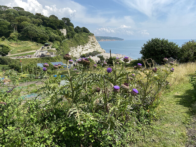
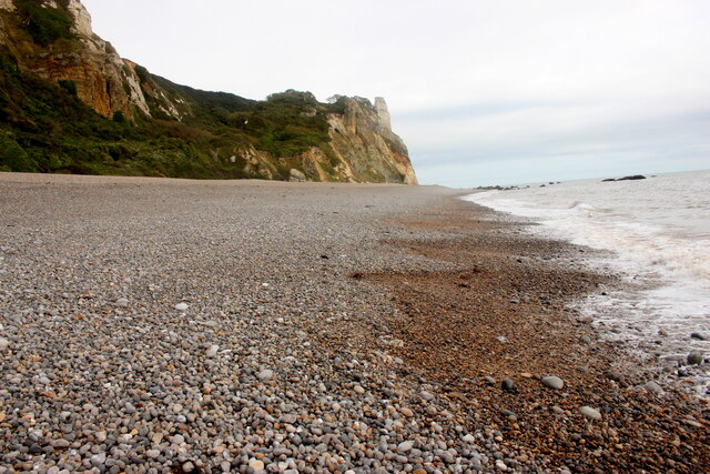
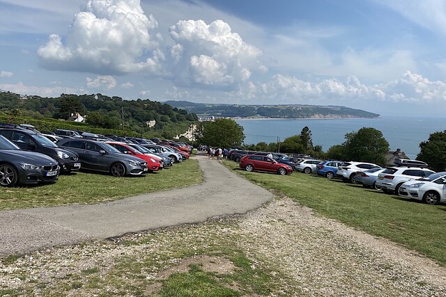
The hill is characterized by its verdant slopes, covered with a diverse range of flora and fauna. Its summit offers a commanding vista of the surrounding countryside, including the picturesque River Dart and the rolling hills of Devon. On a clear day, visitors can enjoy breathtaking vistas that stretch as far as the eye can see.
Arratt's Hill is a designated Area of Outstanding Natural Beauty, known for its unspoiled landscapes and tranquil atmosphere. The surrounding area boasts a rich biodiversity, with various species of birds, butterflies, and wildflowers found in abundance.
The hill is easily accessible by foot, with several well-marked trails guiding visitors to its summit. These trails wind through lush woodlands, past babbling brooks, and offer glimpses of local wildlife along the way. At the top, a small stone cairn marks the highest point, inviting visitors to pause and take in the awe-inspiring surroundings.
Whether one seeks a peaceful retreat in nature, an invigorating hike, or simply a place to soak in the beauty of Devon's countryside, Arratt's Hill is a must-visit destination. Its natural splendor and breathtaking views make it a true gem of the region.
If you have any feedback on the listing, please let us know in the comments section below.
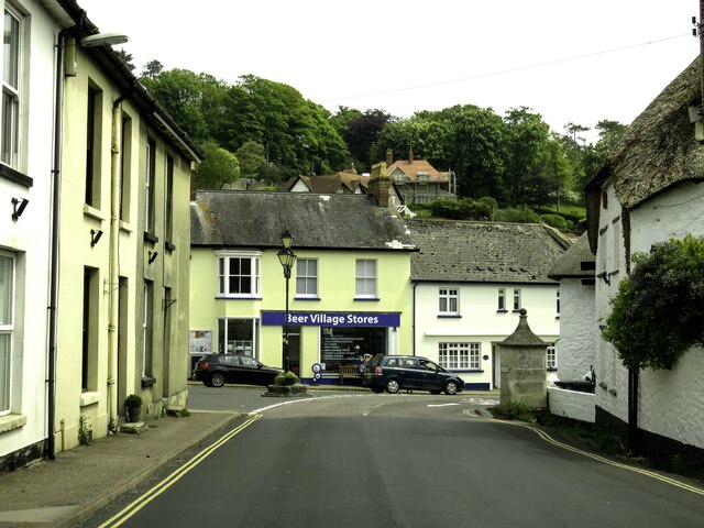
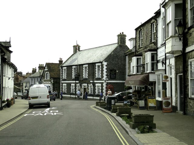
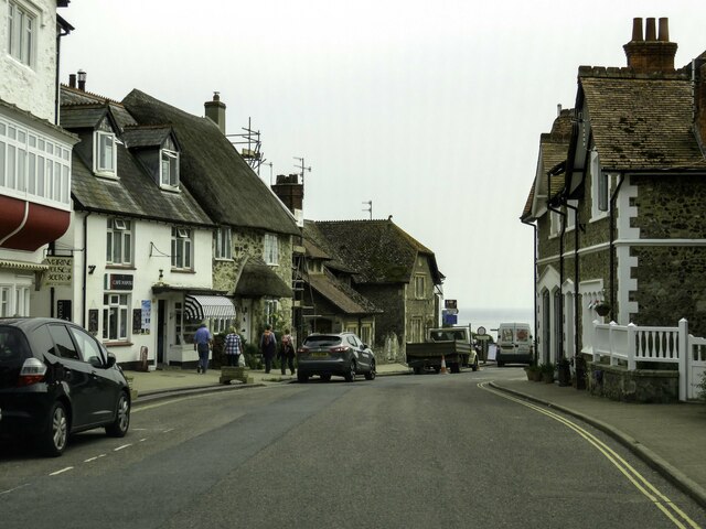
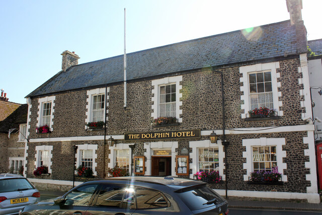
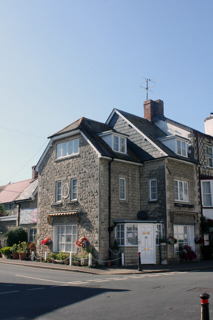
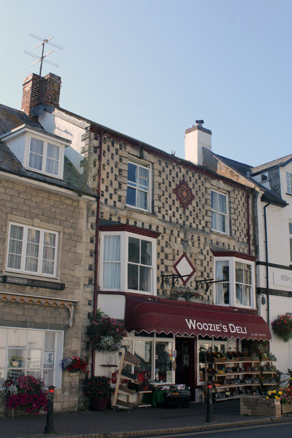
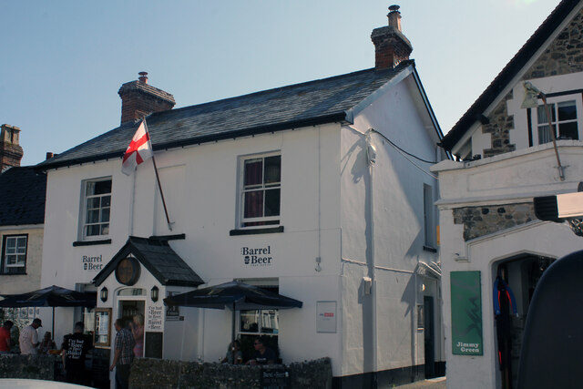
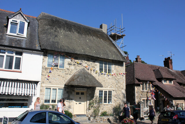
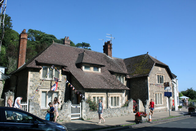
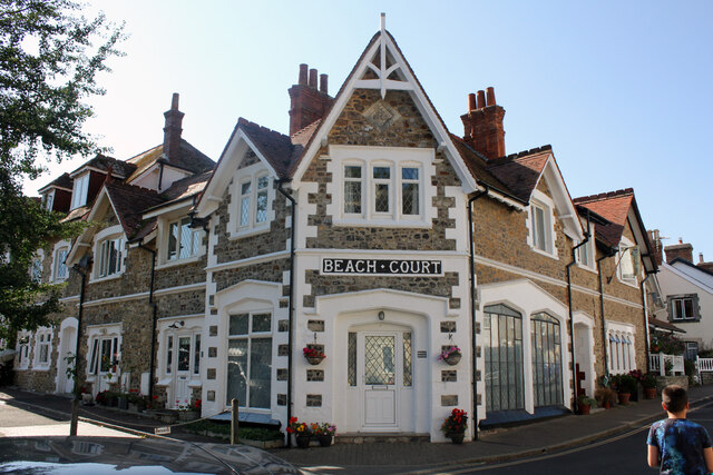
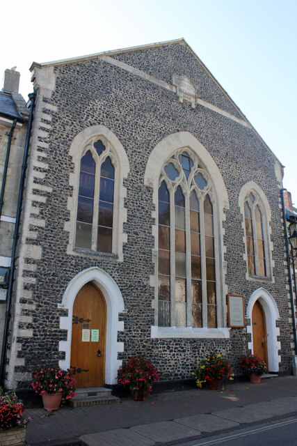
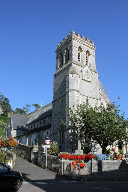
Arratt's Hill Images
Images are sourced within 2km of 50.689592/-3.0983937 or Grid Reference SY2288. Thanks to Geograph Open Source API. All images are credited.


Arratt's Hill is located at Grid Ref: SY2288 (Lat: 50.689592, Lng: -3.0983937)
Administrative County: Devon
District: East Devon
Police Authority: Devon and Cornwall
What 3 Words
///elder.crockery.argue. Near Colyton, Devon
Nearby Locations
Related Wikis
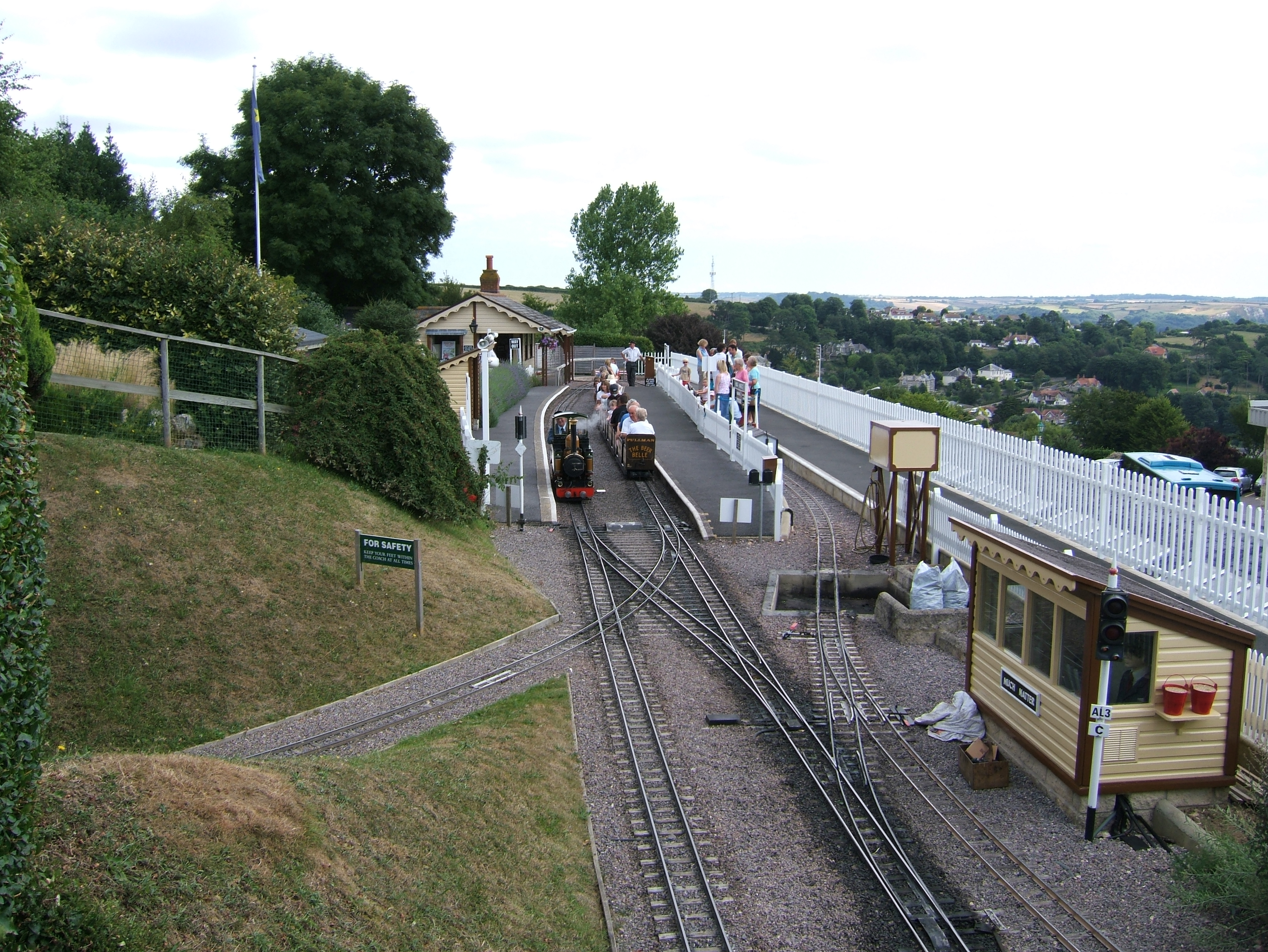
Beer Heights Light Railway
The Beer Heights Light Railway operates 1 mile (1.6 km) of minimum gauge 7+1⁄4 in (184 mm) track at Beer, Devon, England. It is part of Pecorama, an exhibition...

Pecorama
Pecorama (or Pecorama Pleasure Gardens) is a tourist attraction on the hillside above the village of Beer, Devon, in southwest England, that includes a...
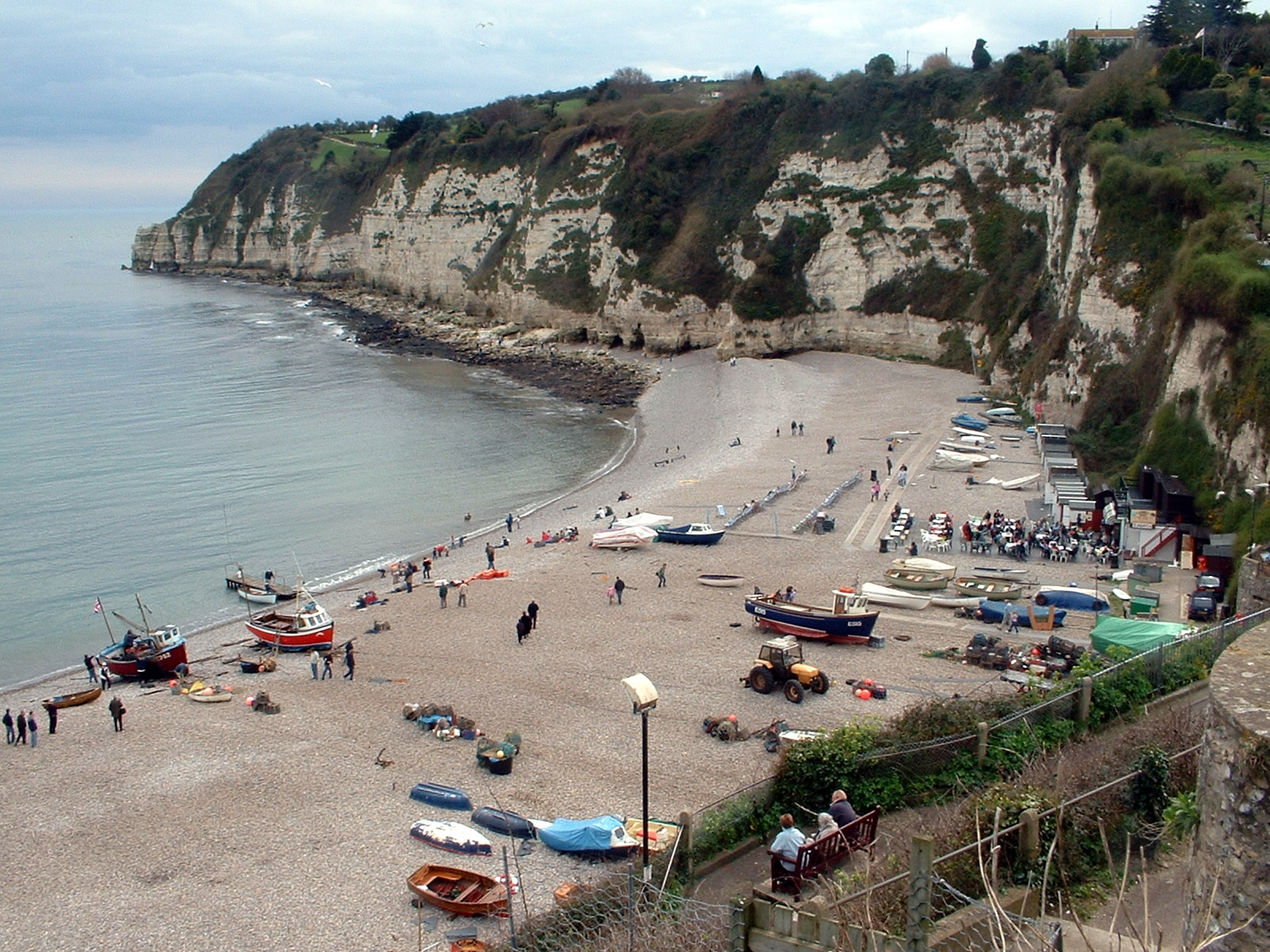
Beer, Devon
Beer is a seaside village and civil parish in the East Devon district of Devon, England. The village faces Lyme Bay and is a little over 1 mile (1.6 km...

Beer Quarry Caves
Beer Quarry Caves is a man-made limestone underground complex located about a mile west of the village of Beer, Devon, and the main source in England for...

East Devon Way
The East Devon Way is a long-distance footpath in England. It runs for 38 miles (61 km) between Exmouth in East Devon and Lyme Regis in Dorset.Landscapes...
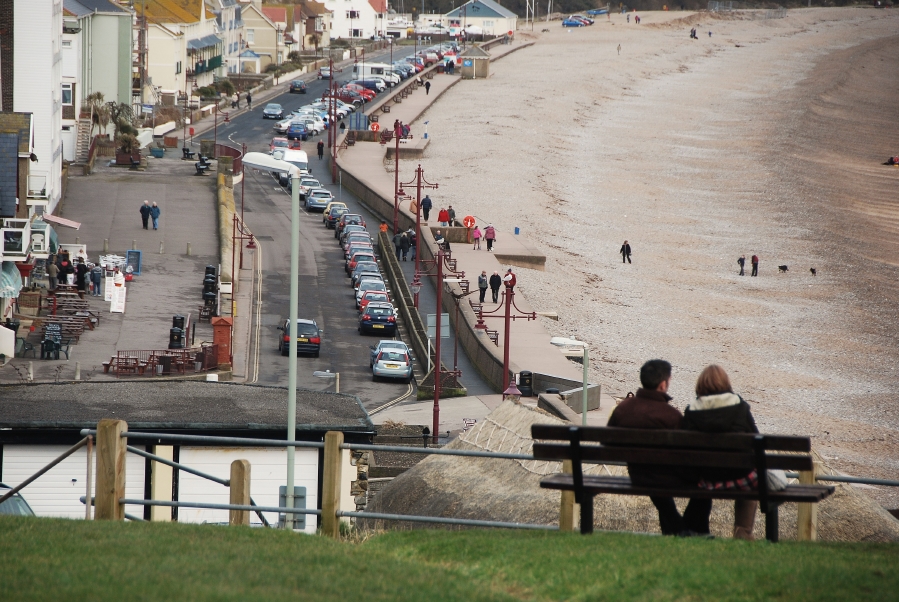
Seaton, Devon
Seaton () is a seaside town, fishing harbour and civil parish in East Devon on the south coast of England, between Axmouth (to the east) and Beer (to the...
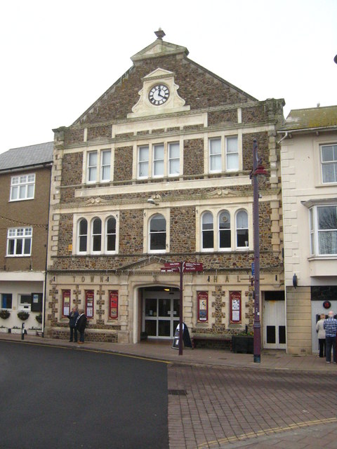
Seaton Town Hall
Seaton Town Hall was a municipal building in Fore Street, Seaton, Devon, England. The former Town Hall, which was the meeting place of Seaton Urban District...
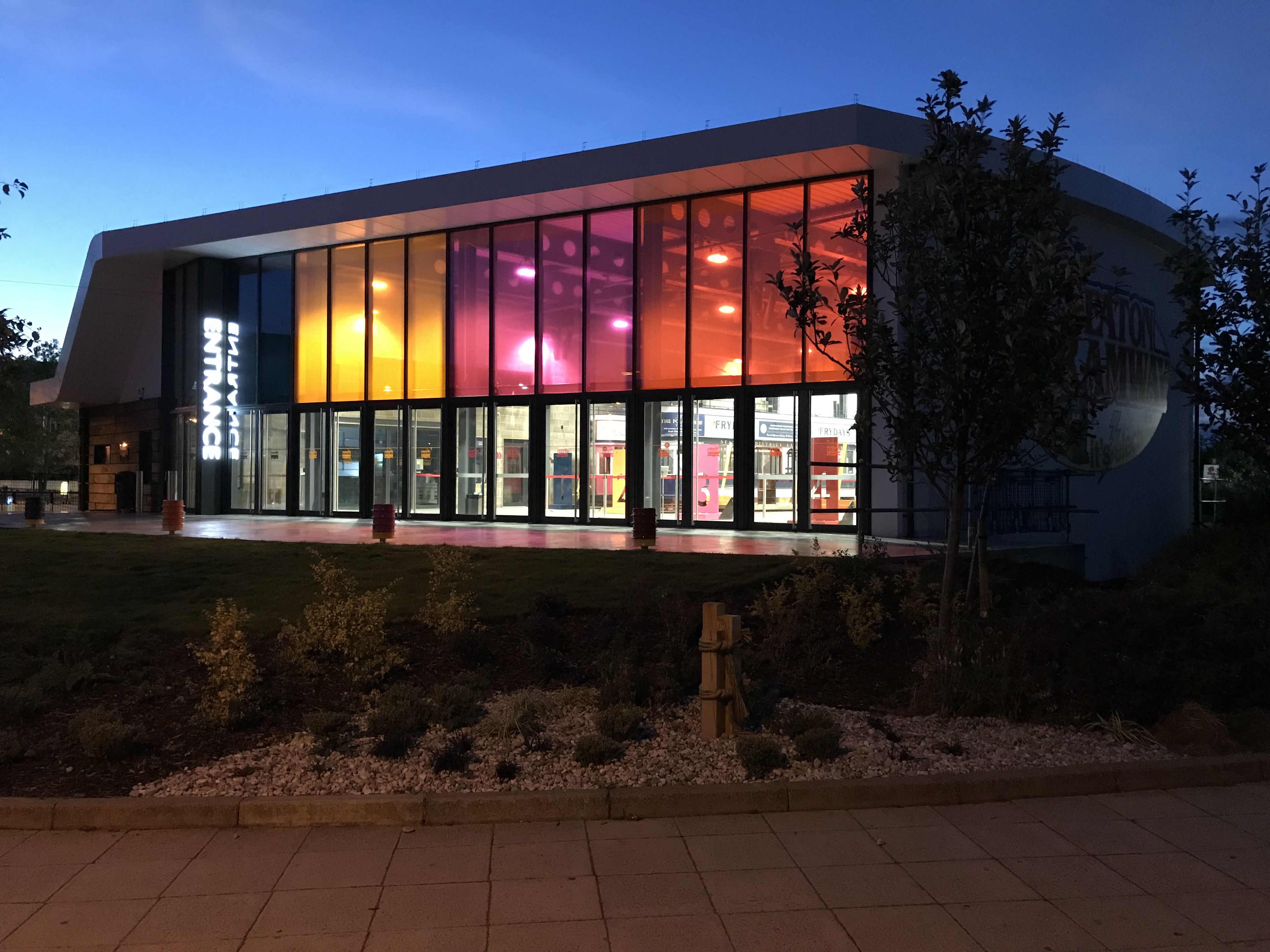
Seaton tram station
The Seaton tramway station is the southern terminus of the Seaton Tramway. The station is situated in the town centre of the town of Seaton in the English...
Nearby Amenities
Located within 500m of 50.689592,-3.0983937Have you been to Arratt's Hill?
Leave your review of Arratt's Hill below (or comments, questions and feedback).