Pound's Pool Beach
Beach in Devon
England
Pound's Pool Beach
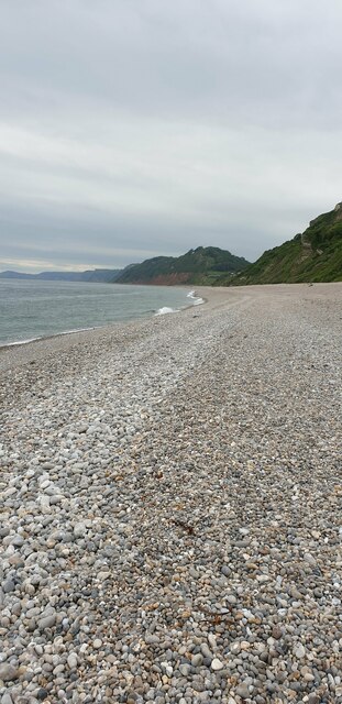
Pound's Pool Beach, located in Devon, England, is a picturesque and secluded beach nestled along the rugged coastline. With its stunning natural beauty and tranquil atmosphere, it has become a popular destination for locals and tourists alike.
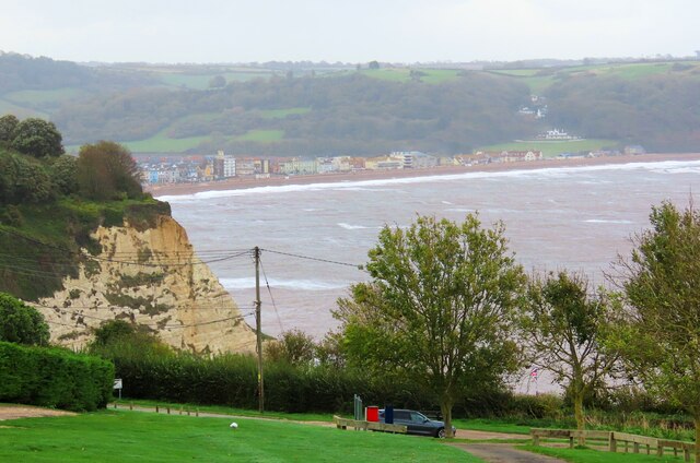
The beach is known for its soft golden sand and crystal-clear waters, which make it ideal for swimming and sunbathing. Its secluded location ensures a peaceful and relaxing experience, far away from the hustle and bustle of city life. The beach is also surrounded by towering cliffs, adding to its scenic charm and providing a sense of seclusion.
Pound's Pool Beach offers a range of activities for visitors to enjoy. The calm waters make it perfect for kayaking and paddleboarding, while the rocky outcrops provide an opportunity for adventurous rock pooling. The beach is also a popular spot for fishing, with plenty of marine life to be found in the surrounding waters.
Facilities at Pound's Pool Beach are limited, adding to its untouched and unspoiled appeal. Visitors are advised to bring their own food and drinks, as there are no nearby cafes or restaurants. However, there are public toilets available for convenience.
Access to Pound's Pool Beach is via a steep and narrow footpath, which adds to the sense of adventure and exclusivity. It is recommended to wear sturdy footwear and take caution while navigating the path.
Overall, Pound's Pool Beach offers a serene and idyllic escape from the outside world, making it a must-visit destination for nature lovers and those seeking a peaceful beach experience.
If you have any feedback on the listing, please let us know in the comments section below.
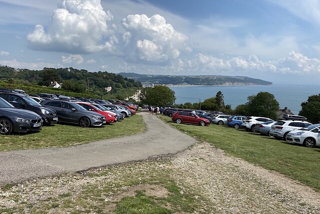
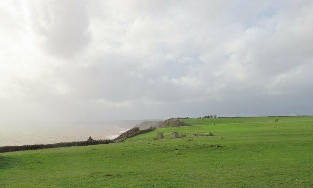
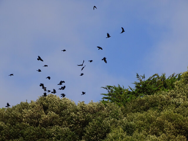
Pound's Pool Beach Images
Images are sourced within 2km of 50.688273/-3.0942858 or Grid Reference SY2288. Thanks to Geograph Open Source API. All images are credited.


Pound's Pool Beach is located at Grid Ref: SY2288 (Lat: 50.688273, Lng: -3.0942858)
Administrative County: Devon
Police Authority: Devon and Cornwall
What 3 Words
///pets.below.modifies. Near Colyton, Devon
Nearby Locations
Related Wikis
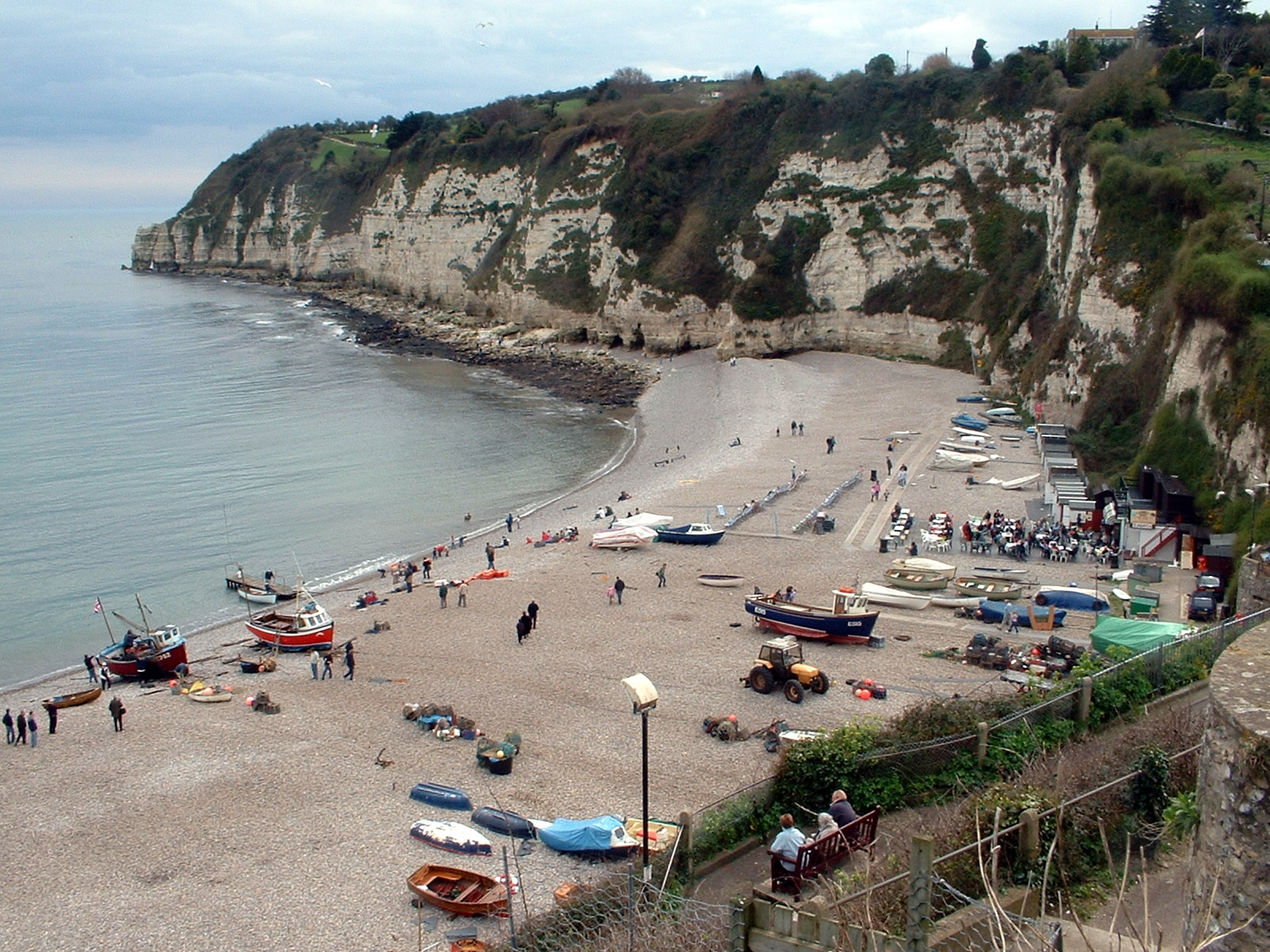
Beer, Devon
Beer is a seaside village and civil parish in the East Devon district of Devon, England. The village faces Lyme Bay and is a little over 1 mile (1.6 km...
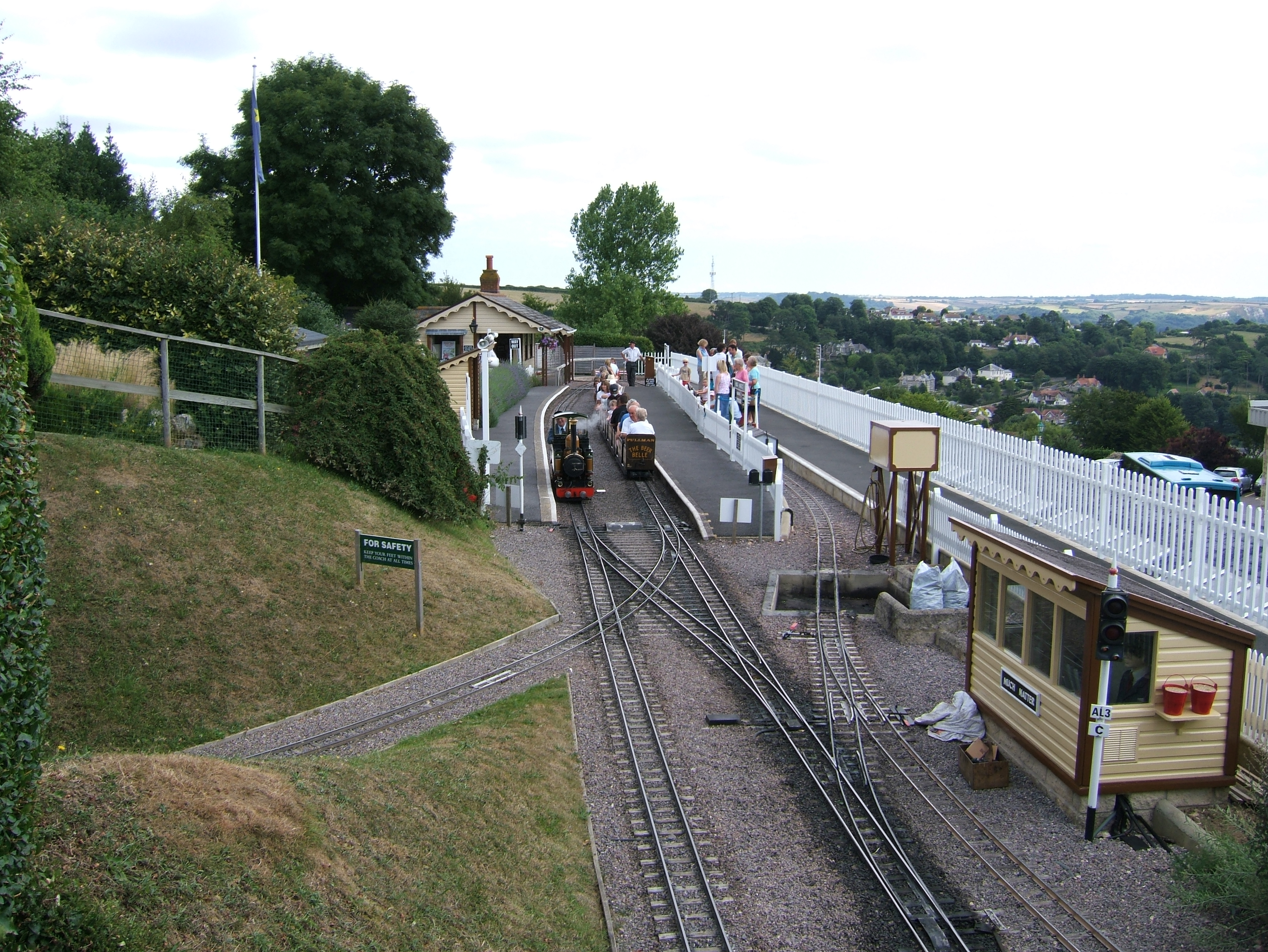
Beer Heights Light Railway
The Beer Heights Light Railway operates 1 mile (1.6 km) of minimum gauge 7+1⁄4 in (184 mm) track at Beer, Devon, England. It is part of Pecorama, an exhibition...

Pecorama
Pecorama (or Pecorama Pleasure Gardens) is a tourist attraction on the hillside above the village of Beer, Devon, in southwest England, that includes a...

Beer Quarry Caves
Beer Quarry Caves is a man-made limestone underground complex located about a mile west of the village of Beer, Devon, and the main source in England for...
Nearby Amenities
Located within 500m of 50.688273,-3.0942858Have you been to Pound's Pool Beach?
Leave your review of Pound's Pool Beach below (or comments, questions and feedback).