Wingland
Coastal Feature, Headland, Point in Caithness
Scotland
Wingland
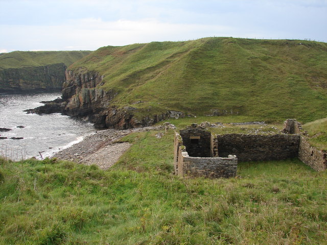
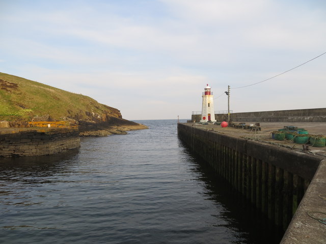
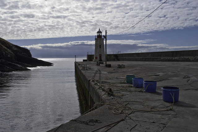
Wingland is a prominent headland located in Caithness, a county in the northernmost part of mainland Scotland. Situated on the east coast, this coastal feature is known for its stunning views and unique geological formations.
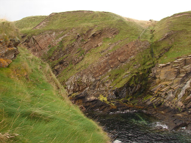
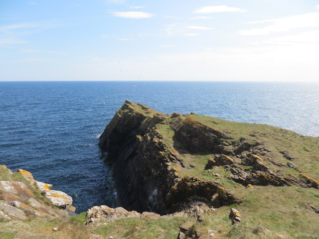
Rising majestically from the surrounding rugged landscape, Wingland offers a commanding vantage point overlooking the North Sea. Its strategic location provides an ideal spot for observing marine life and birdwatching, making it a popular destination for nature enthusiasts. The headland is particularly renowned for its abundant seabird colonies, including puffins, guillemots, and razorbills, which find sanctuary in the steep cliffs and rocky outcrops.
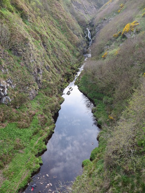
The geological makeup of Wingland is diverse and fascinating. The headland is primarily composed of sedimentary rocks, such as sandstone and limestone, which have been shaped over millennia by the relentless pounding of the sea. Erosion has sculpted the cliffs into dramatic formations, characterized by deep crevices, sea caves, and towering stacks. These geological features not only add to the visual appeal of Wingland but also serve as a testament to the power of natural forces.
Access to Wingland is relatively easy, with a well-maintained footpath leading from a nearby parking area. Visitors can take leisurely walks along the coastal path, immersing themselves in the breathtaking scenery and enjoying the fresh sea breeze. The headland also offers opportunities for rock climbing and fishing, attracting adventure seekers and angling enthusiasts alike.
Overall, Wingland is a captivating coastal feature in Caithness. Its spectacular cliffs, diverse wildlife, and geological wonders make it a must-visit destination for nature lovers and geology enthusiasts seeking an authentic Scottish coastal experience.
If you have any feedback on the listing, please let us know in the comments section below.
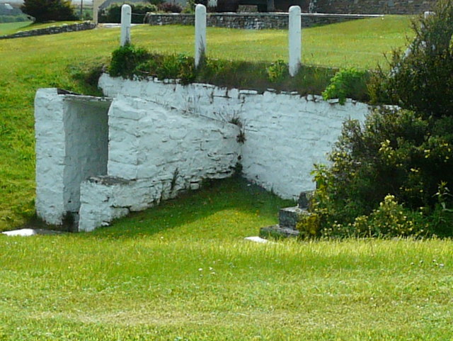
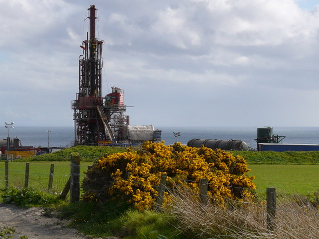
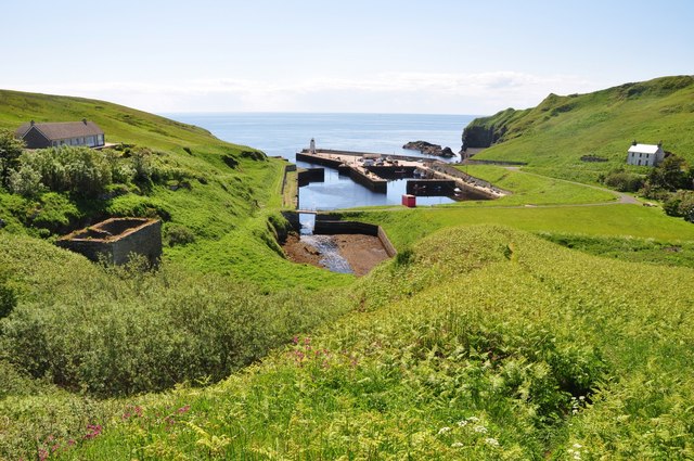
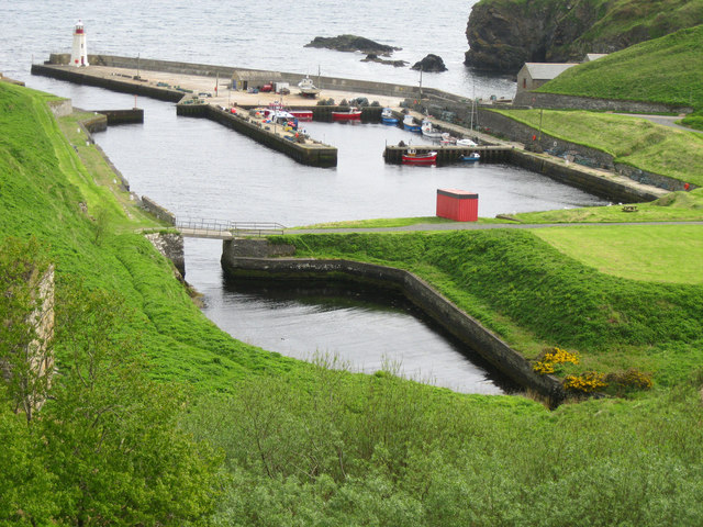
Wingland Images
Images are sourced within 2km of 58.287279/-3.3161783 or Grid Reference ND2233. Thanks to Geograph Open Source API. All images are credited.


Wingland is located at Grid Ref: ND2233 (Lat: 58.287279, Lng: -3.3161783)
Unitary Authority: Highland
Police Authority: Highlands and Islands
What 3 Words
///dine.touches.spruced. Near Dunbeath, Highland
Nearby Locations
Related Wikis
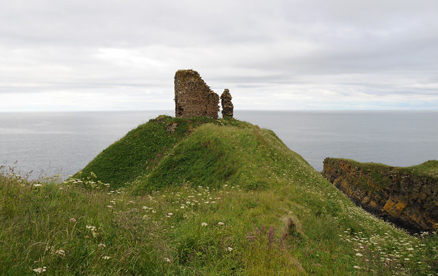
Forse Castle
Forse Castle is a ruined building dating from 1200 in the hamlet of Forse in the Caithness region in the Scottish council area of Highland. It is protected...

Swiney
Swiney is a small village on the east coast of Scotland, 1 mile west of Lybster along the A99 road, in Caithness, Scottish Highlands and is in the Scottish...

Lybster
Lybster (, Scottish Gaelic: Liabost) is a village on the east coast of Caithness in northern Scotland. It was once a big herring fishing port. The Waterlines...
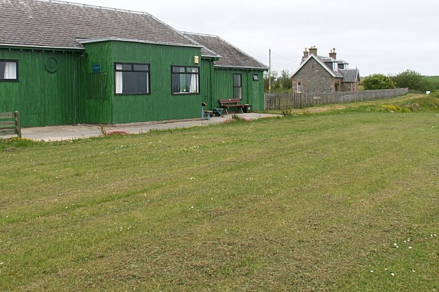
Lybster railway station
Lybster was a railway station located on the Wick and Lybster Railway in the Highland area of Scotland. The station building now serves as the clubhouse...
Latheron
Latheron (from Scottish Gaelic Latharn 'muddy place') is a small village and civil parish in Caithness, in the Highland area of Scotland, centred on the...
Parkside Halt railway station
Parkside Halt was a railway station located between Ulbster and Lybster, Highland. == History == The station was opened on the Wick and Lybster Railway...

Latheronwheel
Latheronwheel (from Scottish Gaelic Latharn a' Phuill 'muddy place of the pool') is a small village in Caithness, in the Highland area of Scotland. It...
Upper Lybster
Upper Lybster is a scattered and crofting village, situated 2 miles north of Lybster, in eastern Caithness, Scottish Highlands and is in the Scottish council...
Nearby Amenities
Located within 500m of 58.287279,-3.3161783Have you been to Wingland?
Leave your review of Wingland below (or comments, questions and feedback).