Gallant Buoys
Coastal Feature, Headland, Point in Kirkcudbrightshire
Scotland
Gallant Buoys
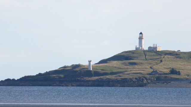
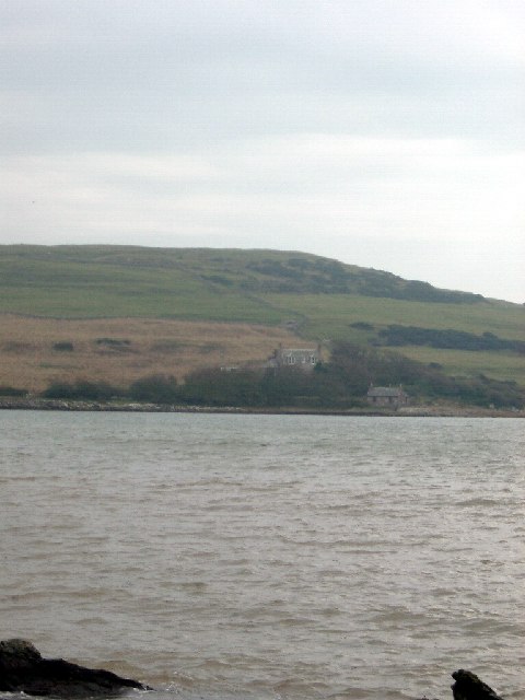
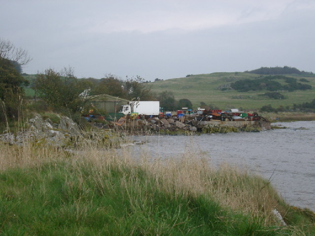
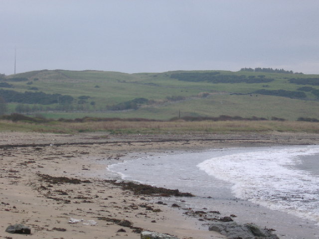
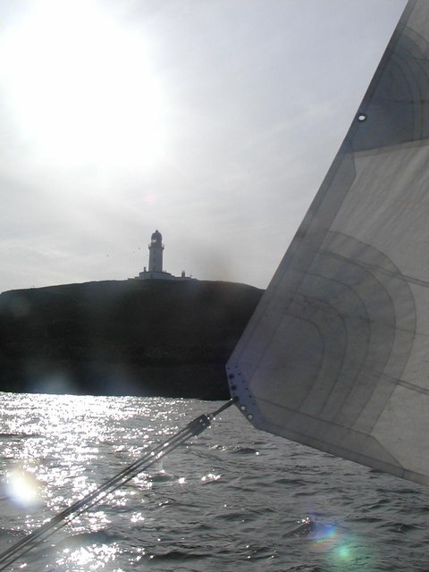
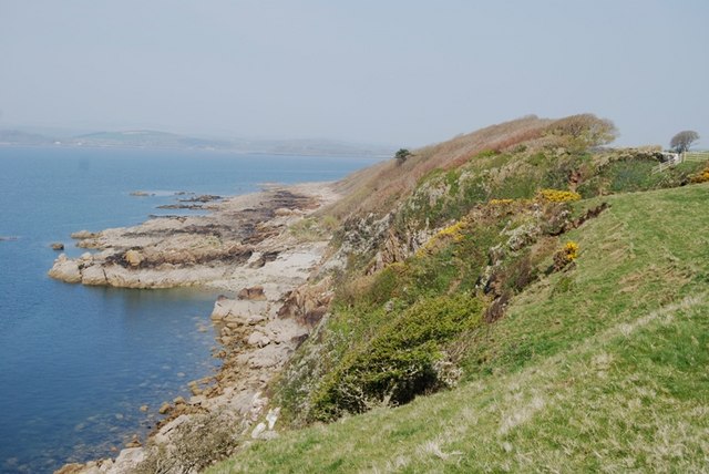
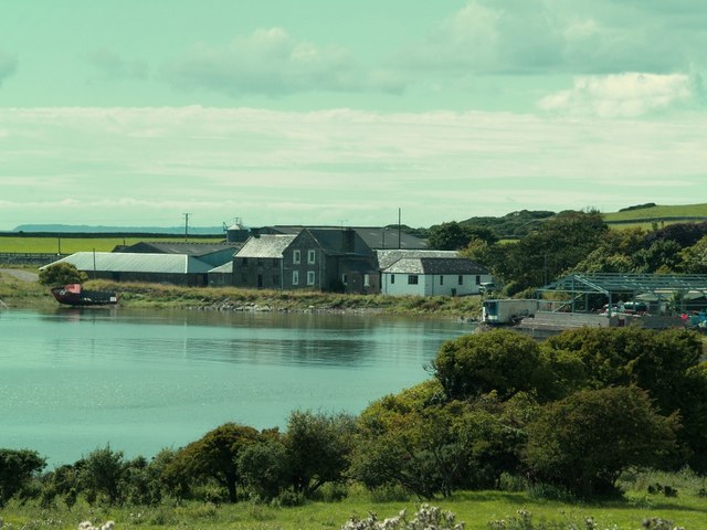
Gallant Buoys is a prominent coastal feature located in Kirkcudbrightshire, Scotland. Situated on a headland, it extends into the Irish Sea, forming a distinct point along the rugged coastline. The name "Gallant Buoys" is derived from the two buoys that are positioned near the headland to guide ships safely through the waters.
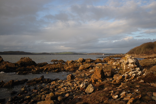
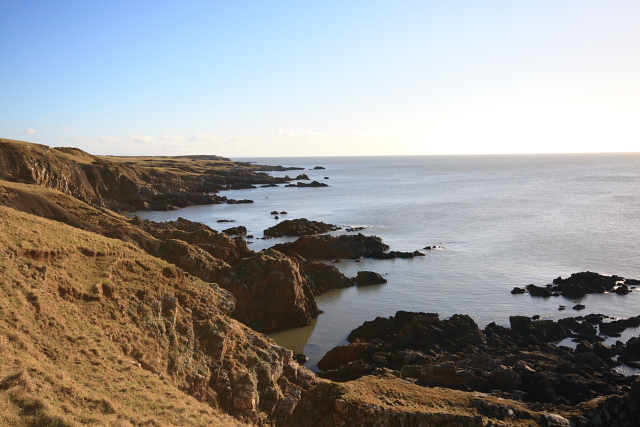
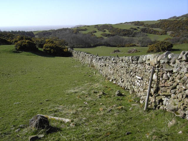
The headland itself is characterized by steep cliffs that rise dramatically from the sea, offering breathtaking views of the surrounding landscape. These cliffs are composed of sedimentary rocks, displaying layers of different colors and textures, which are a testament to the geological history of the area.
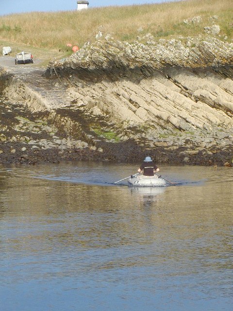
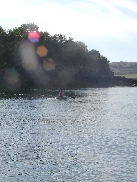
The point of Gallant Buoys serves as a natural breakwater, protecting the nearby coastline from the strong currents and waves of the Irish Sea. This makes it a popular spot for both locals and visitors who enjoy activities such as fishing, birdwatching, and coastal walks.
The headland is also home to a diverse range of flora and fauna. Seabirds, such as gulls and fulmars, can often be seen nesting on the cliffs, while seals can sometimes be spotted basking on nearby rocks. The area is also rich in plant life, with wildflowers and grasses covering the rugged terrain.
Overall, Gallant Buoys is a distinctive and picturesque coastal feature that offers stunning views, abundant wildlife, and a tranquil escape from the hustle and bustle of everyday life.
If you have any feedback on the listing, please let us know in the comments section below.
Gallant Buoys Images
Images are sourced within 2km of 54.780731/-4.0895276 or Grid Reference NX6544. Thanks to Geograph Open Source API. All images are credited.

Gallant Buoys is located at Grid Ref: NX6544 (Lat: 54.780731, Lng: -4.0895276)
Unitary Authority: Dumfries and Galloway
Police Authority: Dumfries and Galloway
What 3 Words
///helped.tricycle.such. Near Kirkcudbright, Dumfries & Galloway
Nearby Locations
Related Wikis

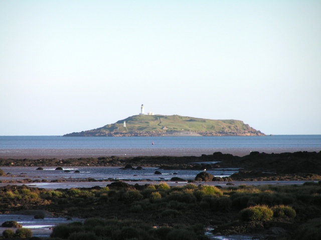
Little Ross
Little Ross is a 29-acre (12-hectare) island with a lighthouse on the Solway Coast south of the town of Kirkcudbright in Galloway, Scotland. It is next...

Kirkcudbright Bay
Kirkcudbright Bay is an inlet of the Irish Sea on the coast of Galloway in southwest Scotland. Its coastline falls entirely within the modern administrative...

River Dee, Galloway
The River Dee (Scottish Gaelic: Dè / Uisge Dhè), in south-west Scotland, flows from its source in Loch Dee amongst the Galloway Hills, firstly to Clatteringshaws...

Borgue Old House
Borgue Old House is a ruined Y-plan house, about 300 metres (0.2 mi) east of Borgue in Dumfries and Galloway, Scotland. Built in 1680, but probably incorporating...

Borgue, Dumfries and Galloway
Borgue (pronounced /ˈbɔrɡ/; Scottish Gaelic: Borgh) is a village and parish in the Stewartry of Kirkcudbright in Dumfries and Galloway, Scotland. It lies...

Borness
Borness is a farm of around 1550 acres on the coast of Borgue Parish in the Stewartry of Kirkcudbrightshire (now part of Dumfries and Galloway). It is...
St Cuthbert Wanderers F.C.
Saint Cuthbert Wanderers Football Club are a football club from the town of Kirkcudbright in the Stewartry in Galloway, Scotland. They play in the South...
Dundrennan Range
Dundrennan Range is a weapons testing range on the Solway Firth, near Kirkcudbright in Dumfries and Galloway, in south west Scotland, it is part of the...
Nearby Amenities
Located within 500m of 54.780731,-4.0895276Have you been to Gallant Buoys?
Leave your review of Gallant Buoys below (or comments, questions and feedback).