Bar Point

Coastal Feature, Headland, Point in Kirkcudbrightshire

Scotland

Bar Point

Little Ross Lighthouse from St Mary's Isle, Kirkcudbright
Little Ross Lighthouse from St Mary's Isle, Kirkcudbright Credit: Colin Park

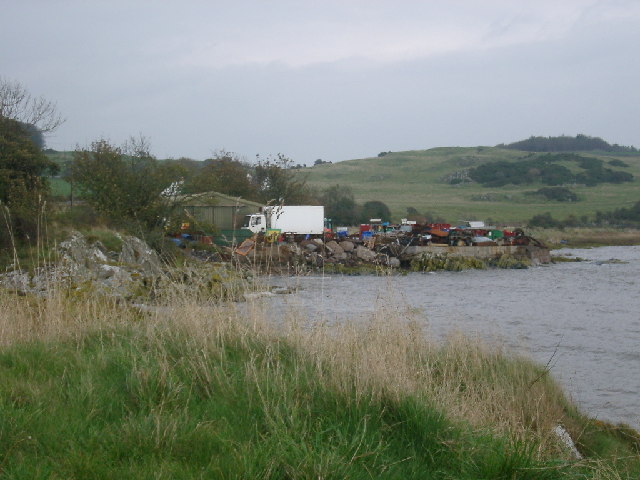
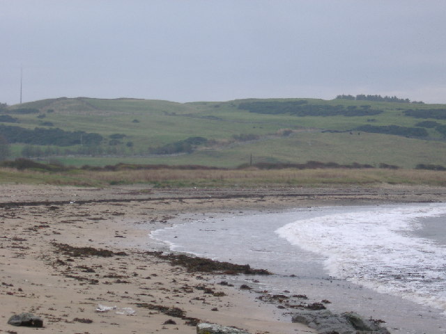
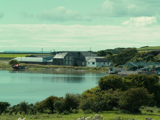
Bar Point is a prominent coastal feature located in Kirkcudbrightshire, Scotland. This headland, also known as Barlocco Point, is situated on the southern banks of the River Dee estuary, where it meets the Irish Sea. It is positioned approximately 4 miles southeast of the town of Kirkcudbright.

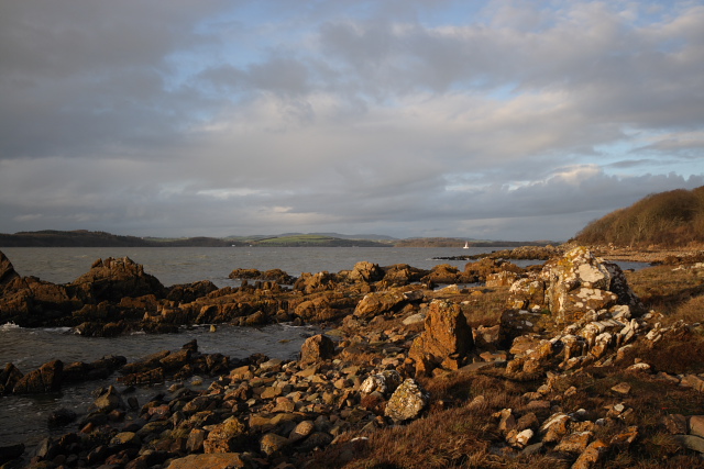
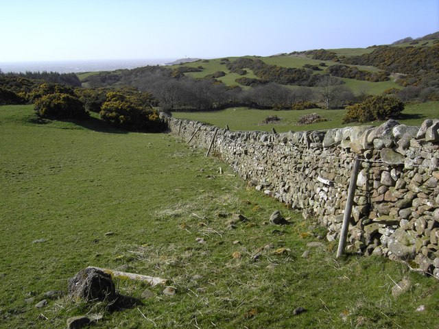
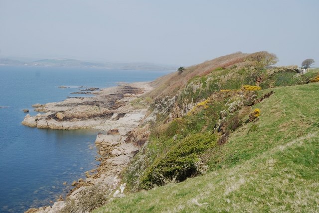
Bar Point is characterized by its rugged cliffs and rocky terrain, which provide a natural barrier between the river and the sea. The headland offers stunning panoramic views of the surrounding coastline and provides a vantage point for observing the diverse marine life in the area.

The area surrounding Bar Point is rich in biodiversity, with an array of seabirds, including gulls, cormorants, and oystercatchers, frequenting the rocky shores. The rocky intertidal zone is home to a variety of marine organisms, such as barnacles, limpets, and sea anemones.

The headland is also of historical significance, as it was once the location of a small settlement. The remains of ancient fortifications and defensive structures can still be found on the headland, providing insight into the area's past.

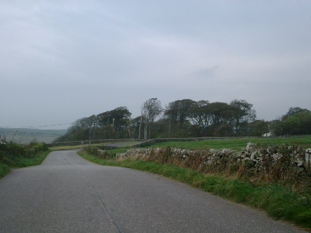
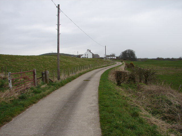
Bar Point attracts visitors who enjoy outdoor activities such as hiking, birdwatching, and photography. The headland is easily accessible via a footpath that winds its way along the coast, offering visitors the opportunity to explore the rugged beauty of this coastal feature.

Overall, Bar Point in Kirkcudbrightshire is a captivating headland that combines natural beauty, diverse wildlife, and historical significance, making it a must-visit destination for nature enthusiasts and history buffs alike.

If you have any feedback on the listing, please let us know in the comments section below.

Bar Point Images

Images are sourced within 2km of 54.78214/-4.0896469 or Grid Reference NX6545. Thanks to Geograph Open Source API. All images are credited.

Little Ross Lighthouse from St Mary's Isle, Kirkcudbright
Slipway on Little Ross Slipway on Little Ross Island, with strikingly stratified rock. White pillar in the background is one of the leading marks.
Slipway on Little Ross
Slipway on Little Ross Island, with strikingly stratified rock. White pillar in the background is one of the leading marks.
Manor Hole Manor hole, in Ross Bay, is one of the few reasonable sheltered all-tide anchorages on the Solway.
Manor Hole
Manor hole, in Ross Bay, is one of the few reasonable sheltered all-tide anchorages on the Solway.
Mull of Ross from Brighouse Bay Rockvale farm near the shore
Mull of Ross from Brighouse Bay
Rockvale farm near the shore
Scrapyard, Ross Bay At least, it looks like a scrapyard, but it may just be untidy...
Scrapyard, Ross Bay
At least, it looks like a scrapyard, but it may just be untidy...
Sheephouse Hill from Brighouse Bay
Woods at Senwick House taken fromnear Clash Cottage
Woods at Senwick House
taken fromnear Clash Cottage
Long Robin, Dee Estuary Rocky foreshore at Long Robin on the River Dee Estuary, looking NNW towards St Mary's Isle and Kirkcudbright.
Long Robin, Dee Estuary
Rocky foreshore at Long Robin on the River Dee Estuary, looking NNW towards St Mary's Isle and Kirkcudbright.
Ross Island Light The lighthouse on Ross Island was built by Robert Louis Stevenson's grandfather. It was manned until the August 1960, when one of the two lighthouse keepers murdered the other for a small sum in football pools winnings. The light is now automatic, but the house is once again occupied.
Ross Island Light
The lighthouse on Ross Island was built by Robert Louis Stevenson's grandfather. It was manned until the August 1960, when one of the two lighthouse keepers murdered the other for a small sum in football pools winnings. The light is now automatic, but the house is once again occupied.
Danger Area Looking down over part of Dundrennan Range with Little Ross island in the background.
Danger Area
Looking down over part of Dundrennan Range with Little Ross island in the background.
Upper Senwick Overcast April day at Upper Senwick Farm.
Upper Senwick
Overcast April day at Upper Senwick Farm.
Balmangan Tower Ground floor and vaulted basement of a substantial tower (C15-C16) stands at the south end of Balmangan Farmhouse (C19). Traditionally, the tower was the residence of a branch of the McLellans of Bombie.
Balmangan Tower
Ground floor and vaulted basement of a substantial tower (C15-C16) stands at the south end of Balmangan Farmhouse (C19). Traditionally, the tower was the residence of a branch of the McLellans of Bombie.
Balmangan Bar, Ross Bay Track from Ross Bay to Sheephouse Hill.
Balmangan Bar, Ross Bay
Track from Ross Bay to Sheephouse Hill.
View across windswept wood from near Torrs Point Extensive deciduous wood beside Kirkcudbright Bay sculpted by south-west wind
View across windswept wood from near Torrs Point
Extensive deciduous wood beside Kirkcudbright Bay sculpted by south-west wind
Little Ross As seen from St Mary's Isle
Little Ross
As seen from St Mary's Isle
Bay Houses on south side of  Ross Bay
Bay Houses on south side of Ross Bay
Upper Senwick Farm, Borgue.
Ross Farm, Borgue.
Ross Farm, Borgue.
Show me another place!

Bar Point is located at Grid Ref: NX6545 (Lat: 54.78214, Lng: -4.0896469)

Unitary Authority: Dumfries and Galloway

Police Authority: Dumfries and Galloway

What 3 Words

///hunk.sung.cabs. Near Kirkcudbright, Dumfries & Galloway

Nearby Locations

Shaw Hole Bar Point

Related Wikis

Kirkcudbright Bay

Kirkcudbright Bay is an inlet of the Irish Sea on the coast of Galloway in southwest Scotland. Its coastline falls entirely within the modern administrative...
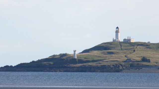
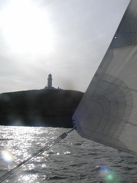
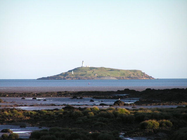
Little Ross

Little Ross is a 29-acre (12-hectare) island with a lighthouse on the Solway Coast south of the town of Kirkcudbright in Galloway, Scotland. It is next...

River Dee, Galloway

The River Dee (Scottish Gaelic: Dè / Uisge Dhè), in south-west Scotland, flows from its source in Loch Dee amongst the Galloway Hills, firstly to Clatteringshaws...
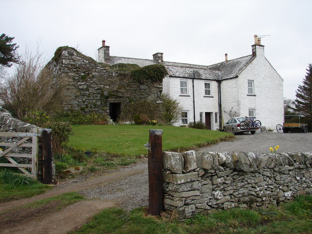
Borgue Old House

Borgue Old House is a ruined Y-plan house, about 300 metres (0.2 mi) east of Borgue in Dumfries and Galloway, Scotland. Built in 1680, but probably incorporating...

Nearby Amenities

Located within 500m of 54.78214,-4.0896469
Source: PGS
Lat/Long: 54.7806878/-4.0962179
Source: PGS
Lat/Long: 54.7806329/-4.0945256
Source: PGS
Lat/Long: 54.780342/-4.0925894
Source: PGS
Lat/Long: 54.7800919/-4.091885
Source: PGS
Lat/Long: 54.7803121/-4.091338
Source: PGS
Lat/Long: 54.7805656/-4.0901445
Source: PGS
Lat/Long: 54.7812849/-4.0896584
Source: PGS
Lat/Long: 54.7816008/-4.0902909
Source: PGS
Lat/Long: 54.7817388/-4.090046
Source: PGS
Lat/Long: 54.7818447/-4.0900498
Source: PGS
Lat/Long: 54.7819024/-4.0903899
Source: PGS
Lat/Long: 54.7820239/-4.09055
Source: PGS
Lat/Long: 54.7823366/-4.0907436
Source: PGS
Lat/Long: 54.7826383/-4.0907579
Source: PGS
Lat/Long: 54.7835308/-4.0903917
Source: PGS
Lat/Long: 54.7837998/-4.0904892
Source: PGS
Lat/Long: 54.7839283/-4.091222
Source: PGS
Lat/Long: 54.7845488/-4.091479
Source: PGS
Lat/Long: 54.7851421/-4.0913875
Source: PGS
Lat/Long: 54.7856169/-4.0916321
Source: PGS
Lat/Long: 54.7858338/-4.091766
Source: PGS
Lat/Long: 54.7862153/-4.0925034
Seamark Name: Gallant Buoys
Seamark Rock Water Level: submerged
Seamark Type: rock
Lat/Long: 54.780517/-4.0897754
Seamark Name: Gallant Buoys
Seamark Rock Water Level: covers
Seamark Type: rock
Lat/Long: 54.7806643/-4.0896476
The data included in this document is from www.openstreetmap.org. The data is made available under ODbL.

Have you been to Bar Point?

Leave your review of Bar Point below (or comments, questions and feedback).