Thunder Hole
Coastal Feature, Headland, Point in Kirkcudbrightshire
Scotland
Thunder Hole
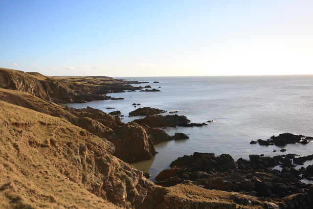
Thunder Hole is a captivating coastal feature located in Kirkcudbrightshire, a historic county in the southwest of Scotland. Situated on the rugged headland, this natural wonder is known for its dramatic and awe-inspiring display of crashing waves and thunderous sounds.
The name "Thunder Hole" aptly describes the powerful and resonating noise that is created when the sea swells and surges into a narrow inlet, colliding with the rocky cliffs that surround it. This phenomenon occurs during high tides and stormy weather, creating a truly breathtaking spectacle that attracts visitors from near and far.
The headland on which Thunder Hole is found offers visitors stunning panoramic views of the surrounding coastline. The rugged cliffs provide a dramatic backdrop to the crashing waves, adding to the allure and beauty of the location. The area is rich in marine life, with seabirds soaring overhead and seals often seen basking on nearby rocks.
Access to Thunder Hole is relatively easy, with a footpath leading visitors to a viewing platform where they can witness the power of the waves up close. However, caution is advised, especially during stormy weather, as the waves can be unpredictable and dangerous.
Thunder Hole is a popular destination for nature enthusiasts and photographers alike, offering a unique opportunity to witness the raw power of the sea. Its captivating beauty and natural spectacle make it a must-visit location for anyone exploring the coastal wonders of Kirkcudbrightshire.
If you have any feedback on the listing, please let us know in the comments section below.
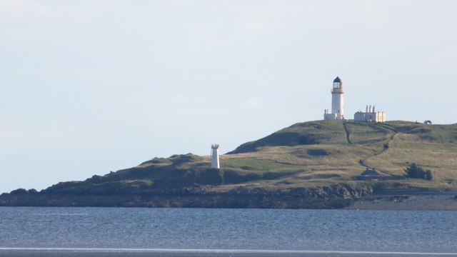
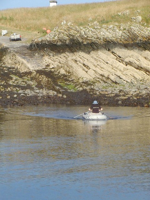
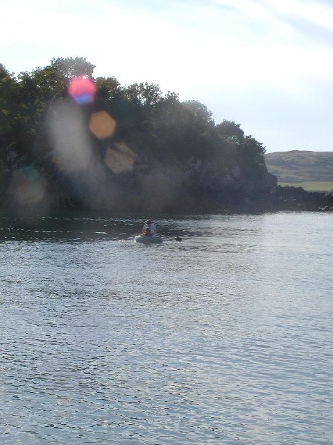
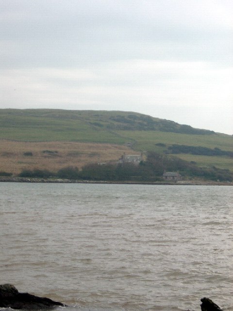
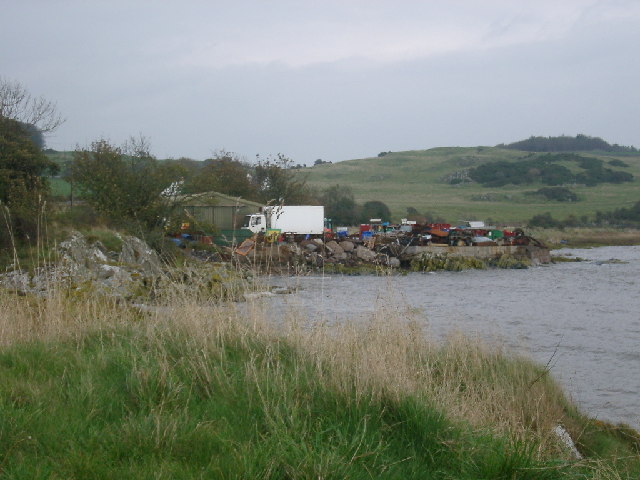
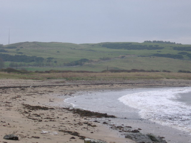
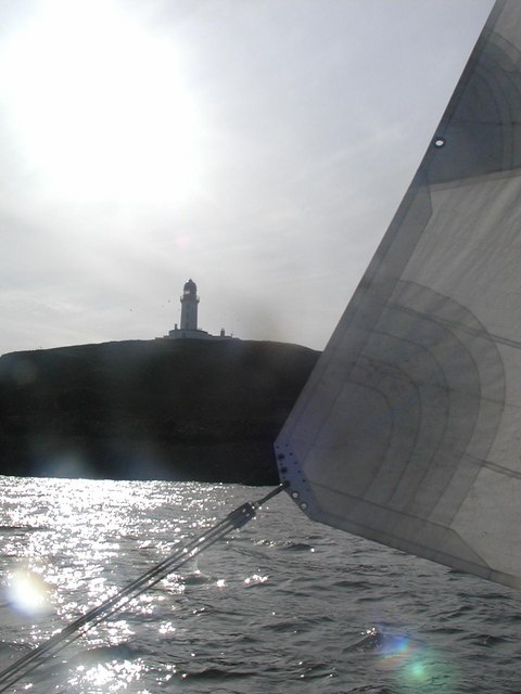
Thunder Hole Images
Images are sourced within 2km of 54.773455/-4.0892146 or Grid Reference NX6544. Thanks to Geograph Open Source API. All images are credited.


Thunder Hole is located at Grid Ref: NX6544 (Lat: 54.773455, Lng: -4.0892146)
Unitary Authority: Dumfries and Galloway
Police Authority: Dumfries and Galloway
What 3 Words
///deserved.delusions.elbowing. Near Kirkcudbright, Dumfries & Galloway
Nearby Locations
Related Wikis

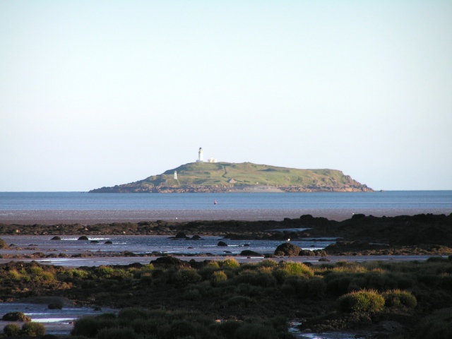
Little Ross
Little Ross is a 29-acre (12-hectare) island with a lighthouse on the Solway Coast south of the town of Kirkcudbright in Galloway, Scotland. It is next...

Kirkcudbright Bay
Kirkcudbright Bay is an inlet of the Irish Sea on the coast of Galloway in southwest Scotland. Its coastline falls entirely within the modern administrative...

River Dee, Galloway
The River Dee (Scottish Gaelic: Dè / Uisge Dhè), in south-west Scotland, flows from its source in Loch Dee amongst the Galloway Hills, firstly to Clatteringshaws...

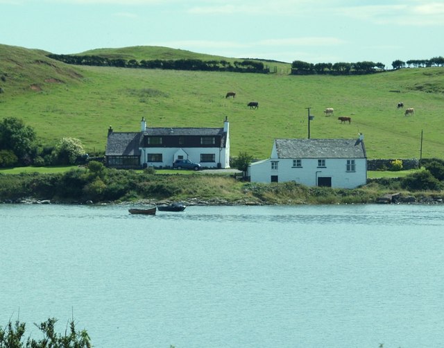
Borness
Borness is a farm of around 1550 acres on the coast of Borgue Parish in the Stewartry of Kirkcudbrightshire (now part of Dumfries and Galloway). It is...

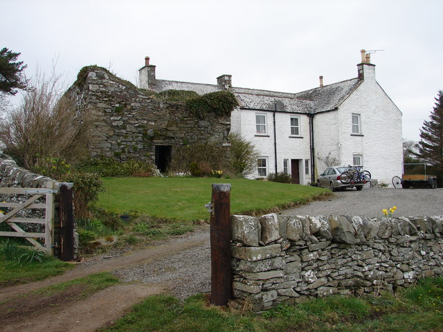
Borgue Old House
Borgue Old House is a ruined Y-plan house, about 300 metres (0.2 mi) east of Borgue in Dumfries and Galloway, Scotland. Built in 1680, but probably incorporating...

Borgue, Dumfries and Galloway
Borgue (pronounced /ˈbɔrɡ/; Scottish Gaelic: Borgh) is a village and parish in the Stewartry of Kirkcudbright in Dumfries and Galloway, Scotland. It lies...
Dundrennan Range
Dundrennan Range is a weapons testing range on the Solway Firth, near Kirkcudbright in Dumfries and Galloway, in south west Scotland, it is part of the...
St Cuthbert Wanderers F.C.
Saint Cuthbert Wanderers Football Club are a football club from the town of Kirkcudbright in the Stewartry in Galloway, Scotland. They play in the South...
Nearby Amenities
Located within 500m of 54.773455,-4.0892146Have you been to Thunder Hole?
Leave your review of Thunder Hole below (or comments, questions and feedback).