Blackstone
Coastal Marsh, Saltings in Kirkcudbrightshire
Scotland
Blackstone
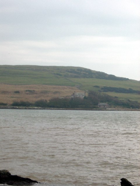
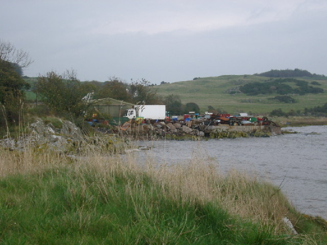
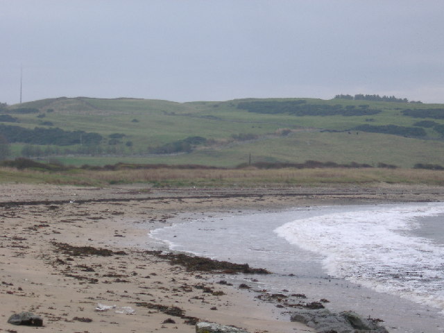
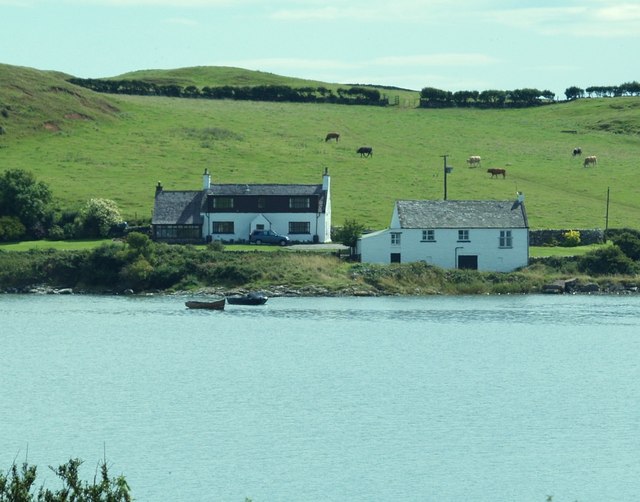
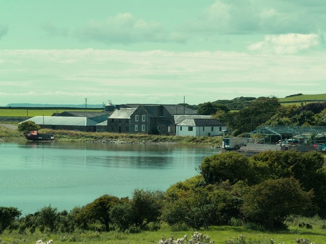
Blackstone in Kirkcudbrightshire, Scotland, is a coastal marsh and saltings area that offers a unique and diverse natural environment. Located on the southern coast of Scotland, this area is known for its beautiful landscapes and rich biodiversity.
The marshes and saltings of Blackstone are characterized by their tidal nature, as they are influenced by the ebb and flow of the nearby sea. This creates a dynamic ecosystem that is home to a variety of plant and animal species. The marshes are dominated by salt-tolerant grasses and sedges, while the saltings are characterized by salt-tolerant plants such as sea lavender and sea aster.
Birdwatchers flock to Blackstone to observe the wide array of avian species that call this area home. Migratory birds, such as waders and wildfowl, are attracted to the marshes and saltings for breeding and feeding opportunities. Species commonly spotted include curlews, oystercatchers, and redshanks.
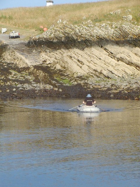
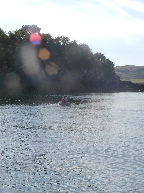
Visitors to Blackstone can also enjoy the picturesque coastal scenery, with stunning views of the sea and surrounding landscapes. The area is a popular spot for walking and hiking, with several trails that offer a chance to explore the marshes and observe the wildlife. Additionally, there are opportunities for boating and fishing in the nearby waters.
Blackstone in Kirkcudbrightshire is a must-visit destination for nature enthusiasts and those seeking a tranquil coastal retreat. Its unique blend of marshes, saltings, and diverse wildlife make it a truly special place to explore and appreciate the beauty of Scotland's natural landscapes.
If you have any feedback on the listing, please let us know in the comments section below.
Blackstone Images
Images are sourced within 2km of 54.776869/-4.0956104 or Grid Reference NX6544. Thanks to Geograph Open Source API. All images are credited.


Blackstone is located at Grid Ref: NX6544 (Lat: 54.776869, Lng: -4.0956104)
Unitary Authority: Dumfries and Galloway
Police Authority: Dumfries and Galloway
What 3 Words
///averages.attaching.compiled. Near Kirkcudbright, Dumfries & Galloway
Nearby Locations
Related Wikis

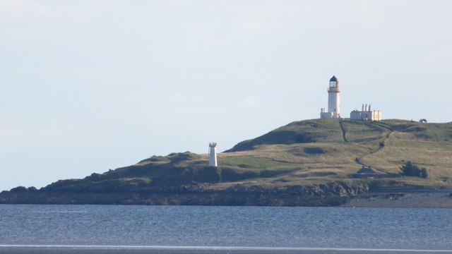
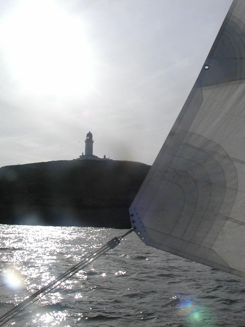
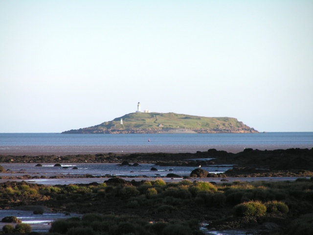
Little Ross
Little Ross is a 29-acre (12-hectare) island with a lighthouse on the Solway Coast south of the town of Kirkcudbright in Galloway, Scotland. It is next...

Kirkcudbright Bay
Kirkcudbright Bay is an inlet of the Irish Sea on the coast of Galloway in southwest Scotland. Its coastline falls entirely within the modern administrative...

River Dee, Galloway
The River Dee (Scottish Gaelic: Dè / Uisge Dhè), in south-west Scotland, flows from its source in Loch Dee amongst the Galloway Hills, firstly to Clatteringshaws...

Borness
Borness is a farm of around 1550 acres on the coast of Borgue Parish in the Stewartry of Kirkcudbrightshire (now part of Dumfries and Galloway). It is...

Borgue Old House
Borgue Old House is a ruined Y-plan house, about 300 metres (0.2 mi) east of Borgue in Dumfries and Galloway, Scotland. Built in 1680, but probably incorporating...

Borgue, Dumfries and Galloway
Borgue (pronounced /ˈbɔrɡ/; Scottish Gaelic: Borgh) is a village and parish in the Stewartry of Kirkcudbright in Dumfries and Galloway, Scotland. It lies...

Kirkandrews, Dumfries and Galloway
Kirkandrews, sometimes written as Kirkanders in older documents, is a coastal hamlet about 9 kilometres (6 mi) west-southwest of Kirkcudbright in Dumfries...
Dundrennan Range
Dundrennan Range is a weapons testing range on the Solway Firth, near Kirkcudbright in Dumfries and Galloway, in south west Scotland, it is part of the...
Nearby Amenities
Located within 500m of 54.776869,-4.0956104Have you been to Blackstone?
Leave your review of Blackstone below (or comments, questions and feedback).