Ross Bay
Bay in Kirkcudbrightshire
Scotland
Ross Bay
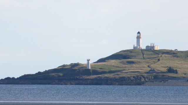
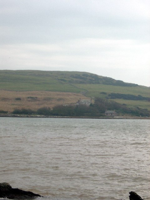
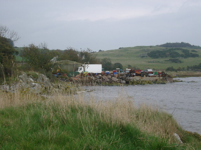
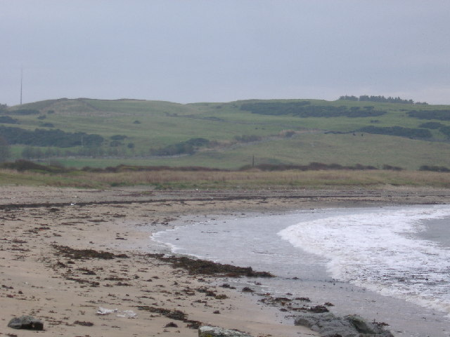
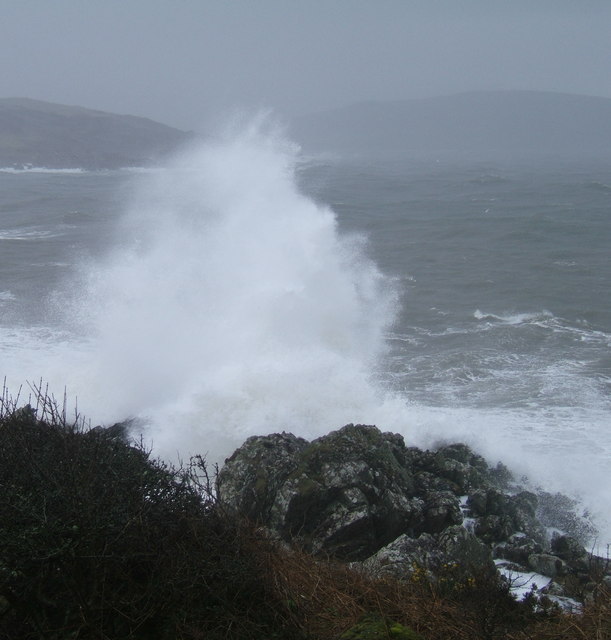
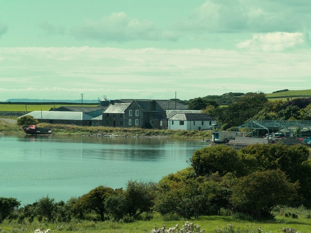
Ross Bay is a picturesque coastal area located in Kirkcudbrightshire, Scotland. Situated along the Solway Firth, this bay is known for its stunning natural beauty and serene atmosphere. The bay itself is a wide expanse of sandy beach, interspersed with rocky outcrops and bordered by rolling hills.
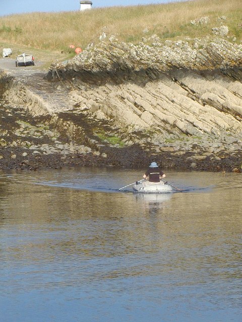
The bay is a popular destination for both locals and tourists, offering a range of activities and attractions. Nature enthusiasts can explore the bay's diverse ecosystem, which is home to a wide variety of flora and fauna. Birdwatchers, in particular, flock to Ross Bay to catch a glimpse of the many seabirds that inhabit the area.
The beach at Ross Bay is perfect for leisurely walks, sunbathing, or picnicking. The soft sand provides a comfortable surface for beach games and relaxation, while the crystal-clear waters of the Solway Firth are ideal for swimming and water sports during the summer months.
History buffs will also find plenty to explore in Ross Bay. The area is dotted with ancient ruins and historic landmarks, such as the nearby Threave Castle and the ruins of Sweetheart Abbey. These sites provide a fascinating glimpse into the region's rich history and are a must-visit for those interested in Scottish heritage.
Overall, Ross Bay offers a tranquil and idyllic setting for relaxation and exploration. Its natural beauty, combined with its historical significance, makes it a beloved destination for all who visit.
If you have any feedback on the listing, please let us know in the comments section below.
Ross Bay Images
Images are sourced within 2km of 54.77839/-4.0990946 or Grid Reference NX6544. Thanks to Geograph Open Source API. All images are credited.


Ross Bay is located at Grid Ref: NX6544 (Lat: 54.77839, Lng: -4.0990946)
Unitary Authority: Dumfries and Galloway
Police Authority: Dumfries and Galloway
What 3 Words
///mush.joggers.shaped. Near Kirkcudbright, Dumfries & Galloway
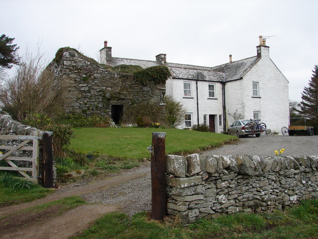
Nearby Locations
Related Wikis

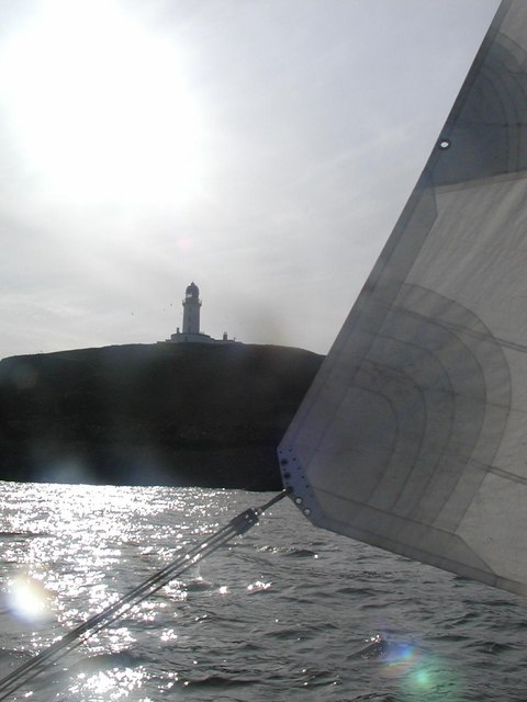
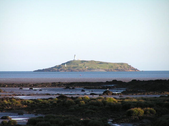
Little Ross
Little Ross is a 29-acre (12-hectare) island with a lighthouse on the Solway Coast south of the town of Kirkcudbright in Galloway, Scotland. It is next...

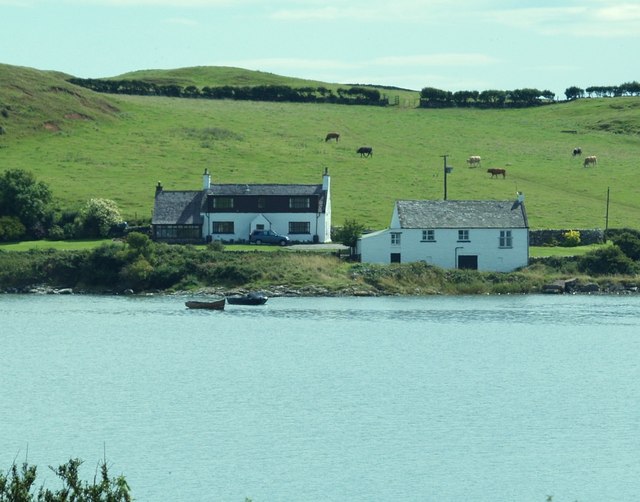
Kirkcudbright Bay
Kirkcudbright Bay is an inlet of the Irish Sea on the coast of Galloway in southwest Scotland. Its coastline falls entirely within the modern administrative...

River Dee, Galloway
The River Dee (Scottish Gaelic: Dè / Uisge Dhè), in south-west Scotland, flows from its source in Loch Dee amongst the Galloway Hills, firstly to Clatteringshaws...

Borness
Borness is a farm of around 1550 acres on the coast of Borgue Parish in the Stewartry of Kirkcudbrightshire (now part of Dumfries and Galloway). It is...
Nearby Amenities
Located within 500m of 54.77839,-4.0990946Have you been to Ross Bay?
Leave your review of Ross Bay below (or comments, questions and feedback).