Shaw Hole

Sea, Estuary, Creek in Kirkcudbrightshire

Scotland

Shaw Hole

Manor Hole Manor hole, in Ross Bay, is one of the few reasonable sheltered all-tide anchorages on the Solway.
Manor Hole Credit: Simon Brooke

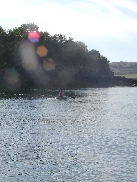
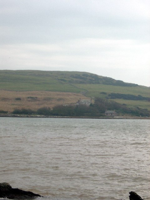
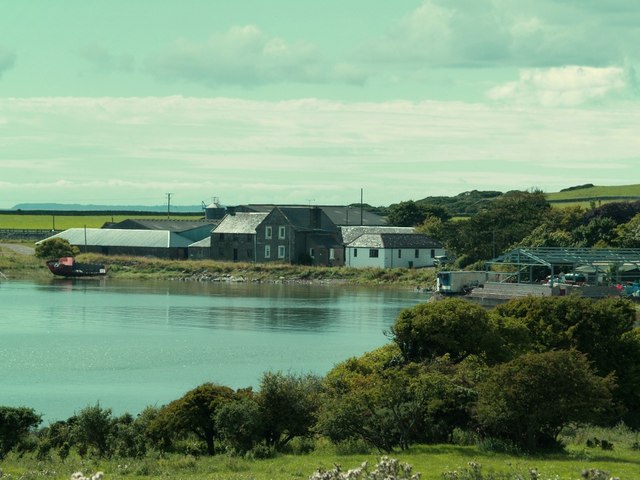
Shaw Hole is a picturesque coastal area located in the historical region of Kirkcudbrightshire, Scotland. Situated on the southern coast of the country, Shaw Hole is a captivating blend of sea, estuary, and creek.

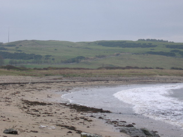
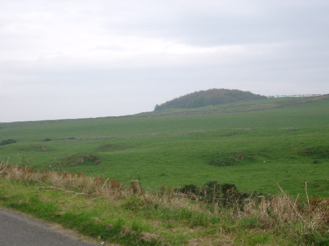
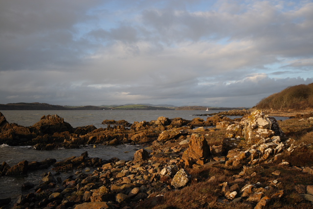
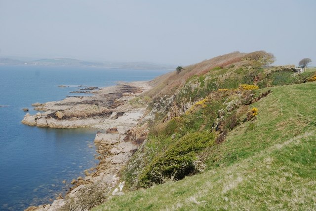
The area is renowned for its stunning natural beauty, with a rugged coastline that stretches for miles. The crystal-clear blue waters of the sea offer a tranquil and serene atmosphere, perfect for those seeking a peaceful escape from the hustle and bustle of city life. The sea at Shaw Hole is also known for its diverse marine life, making it a popular spot for snorkeling and diving enthusiasts.

Shaw Hole is also home to an estuary, which is formed by the confluence of a river and the sea. This estuary provides a unique habitat for a wide range of bird species, making it a birdwatcher's paradise. Visitors can observe various species of wading birds, waterfowl, and seabirds in their natural habitat.

The creek at Shaw Hole adds to the area's charm, offering a tranquil spot for leisurely walks and picnics. The creek's calm waters provide an ideal setting for kayaking and paddleboarding, allowing visitors to explore the coastline from a different perspective.

Overall, Shaw Hole in Kirkcudbrightshire is a hidden gem along Scotland's southern coast. With its breathtaking sea views, diverse marine life, and abundant bird species, it is a must-visit destination for nature lovers and outdoor enthusiasts alike.

If you have any feedback on the listing, please let us know in the comments section below.
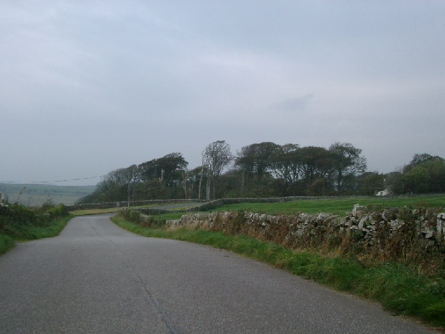
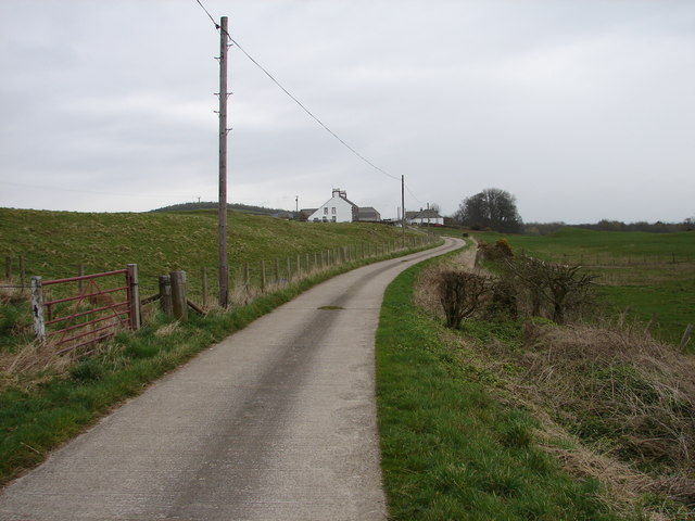
Shaw Hole Images

Images are sourced within 2km of 54.786477/-4.0920014 or Grid Reference NX6545. Thanks to Geograph Open Source API. All images are credited.

Manor Hole Manor hole, in Ross Bay, is one of the few reasonable sheltered all-tide anchorages on the Solway.
Manor Hole
Manor hole, in Ross Bay, is one of the few reasonable sheltered all-tide anchorages on the Solway.
Mull of Ross from Brighouse Bay Rockvale farm near the shore
Mull of Ross from Brighouse Bay
Rockvale farm near the shore
Scrapyard, Ross Bay At least, it looks like a scrapyard, but it may just be untidy...
Scrapyard, Ross Bay
At least, it looks like a scrapyard, but it may just be untidy...
Sheephouse Hill from Brighouse Bay
Woods at Senwick House taken fromnear Clash Cottage
Woods at Senwick House
taken fromnear Clash Cottage
Senwick Wood on Knocktall Hill
Long Robin, Dee Estuary Rocky foreshore at Long Robin on the River Dee Estuary, looking NNW towards St Mary's Isle and Kirkcudbright.
Long Robin, Dee Estuary
Rocky foreshore at Long Robin on the River Dee Estuary, looking NNW towards St Mary's Isle and Kirkcudbright.
Upper Senwick Overcast April day at Upper Senwick Farm.
Upper Senwick
Overcast April day at Upper Senwick Farm.
Balmangan Tower Ground floor and vaulted basement of a substantial tower (C15-C16) stands at the south end of Balmangan Farmhouse (C19). Traditionally, the tower was the residence of a branch of the McLellans of Bombie.
Balmangan Tower
Ground floor and vaulted basement of a substantial tower (C15-C16) stands at the south end of Balmangan Farmhouse (C19). Traditionally, the tower was the residence of a branch of the McLellans of Bombie.
Balmangan Bar, Ross Bay Track from Ross Bay to Sheephouse Hill.
Balmangan Bar, Ross Bay
Track from Ross Bay to Sheephouse Hill.
View across windswept wood from near Torrs Point Extensive deciduous wood beside Kirkcudbright Bay sculpted by south-west wind
View across windswept wood from near Torrs Point
Extensive deciduous wood beside Kirkcudbright Bay sculpted by south-west wind
Bay Houses on south side of  Ross Bay
Bay Houses on south side of Ross Bay
Upper Senwick Farm, Borgue.
Ross Farm, Borgue.
Ross Farm, Borgue.
Senwick Glebe, Borgue Parish.
Kirkcudbright Bay from tiny beach below Balmangan Bar Taken from a small beach shown on 1:25000 between Bar Point and Shaw Hole.
Kirkcudbright Bay from tiny beach below Balmangan Bar
Taken from a small beach shown on 1:25000 between Bar Point and Shaw Hole.
Tiny Beach between Bar Point and Shaw hole
Ross Bay from near Blackstone Cottage
Show me another place!

Shaw Hole is located at Grid Ref: NX6545 (Lat: 54.786477, Lng: -4.0920014)

Unitary Authority: Dumfries and Galloway

Police Authority: Dumfries and Galloway

What 3 Words

///sliders.obscuring.outings. Near Kirkcudbright, Dumfries & Galloway

Nearby Locations

Shaw Hole Bar Point

Related Wikis

Kirkcudbright Bay

Kirkcudbright Bay is an inlet of the Irish Sea on the coast of Galloway in southwest Scotland. Its coastline falls entirely within the modern administrative...

Little Ross

Little Ross is a 29-acre (12-hectare) island with a lighthouse on the Solway Coast south of the town of Kirkcudbright in Galloway, Scotland. It is next...

River Dee, Galloway

The River Dee (Scottish Gaelic: Dè / Uisge Dhè), in south-west Scotland, flows from its source in Loch Dee amongst the Galloway Hills, firstly to Clatteringshaws...

Borgue Old House

Borgue Old House is a ruined Y-plan house, about 300 metres (0.2 mi) east of Borgue in Dumfries and Galloway, Scotland. Built in 1680, but probably incorporating...

Nearby Amenities

Located within 500m of 54.786477,-4.0920014
Source: PGS
Lat/Long: 54.7892609/-4.0915717
Source: PGS
Lat/Long: 54.7905008/-4.0918723
Source: PGS
Lat/Long: 54.7823366/-4.0907436
Source: PGS
Lat/Long: 54.7826383/-4.0907579
Source: PGS
Lat/Long: 54.7835308/-4.0903917
Source: PGS
Lat/Long: 54.7837998/-4.0904892
Source: PGS
Lat/Long: 54.7839283/-4.091222
Source: PGS
Lat/Long: 54.7845488/-4.091479
Source: PGS
Lat/Long: 54.7851421/-4.0913875
Source: PGS
Lat/Long: 54.7856169/-4.0916321
Source: PGS
Lat/Long: 54.7858338/-4.091766
Source: PGS
Lat/Long: 54.7862153/-4.0925034
Source: PGS
Lat/Long: 54.7867594/-4.0925453
Source: PGS
Lat/Long: 54.7872252/-4.0922676
Source: PGS
Lat/Long: 54.7877312/-4.091687
Source: PGS
Lat/Long: 54.7884801/-4.0918187
Source: PGS
Lat/Long: 54.7888245/-4.0918814
Senwick Church
Historic: ruins
Lat/Long: 54.790914/-4.092328
The data included in this document is from www.openstreetmap.org. The data is made available under ODbL.

Have you been to Shaw Hole?

Leave your review of Shaw Hole below (or comments, questions and feedback).