Pikehorn

Coastal Feature, Headland, Point in Wigtownshire

Scotland

Pikehorn

Mulberry Harbour Remains The WWII D-Day Mulberry Harbour trials around Garlieston tested the viability of different types of equipment. A storm tested some components to destruction and the components were left to rot. Some are still there!
<span class="nowrap"><a title="https://mulberryharbour.info/" rel="nofollow ugc noopener" href="https://mulberryharbour.info/">Link</a><img style="margin-left:2px;" alt="External link" title="External link - shift click to open in new window" src="https://s1.geograph.org.uk/img/external.png" width="10" height="10"/></span>
Mulberry Harbour Remains Credit: Russel Wills

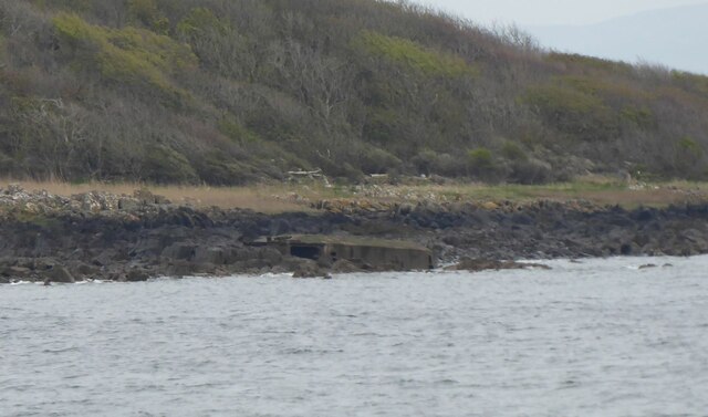
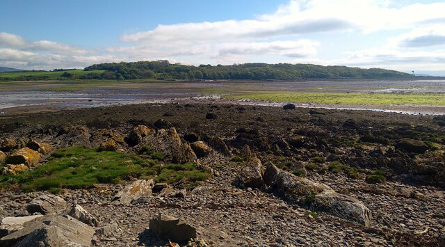
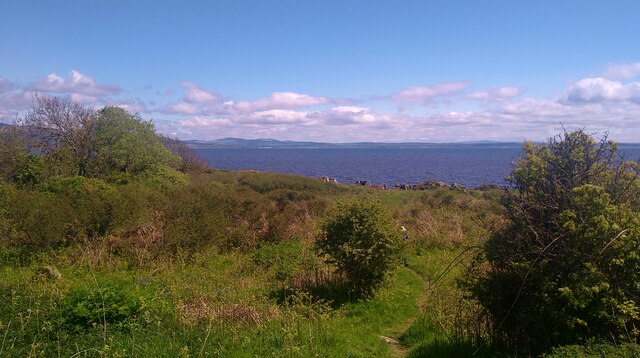
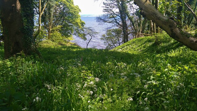
Pikehorn is a prominent headland located in Wigtownshire, a region situated on the western coast of Scotland. This coastal feature is renowned for its stunning natural beauty and its strategic position overlooking the Irish Sea.

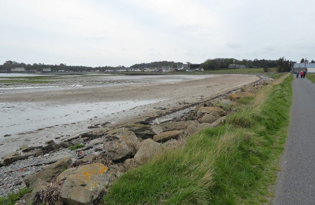
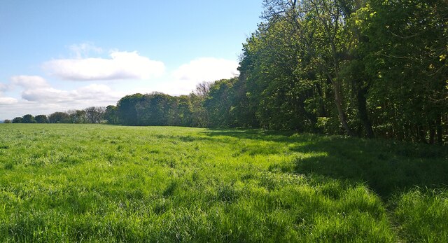
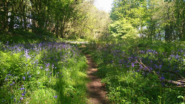
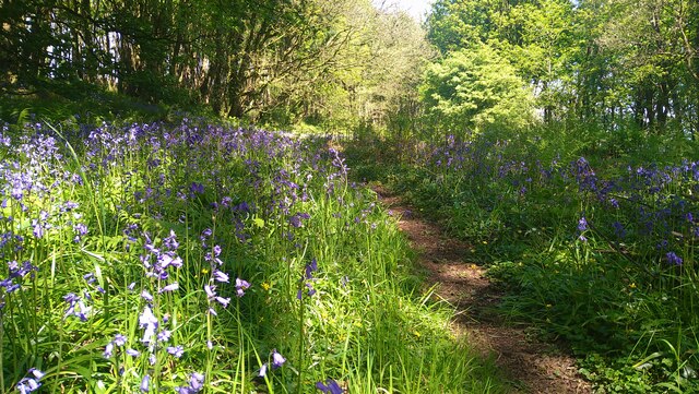
With its rocky cliffs and panoramic views, Pikehorn stands as a remarkable landmark in the area. The headland juts out into the sea, forming a distinctive point that attracts both locals and tourists alike. It is a popular destination for nature enthusiasts, hikers, and photographers, who are captivated by its rugged charm and the breathtaking vistas it offers.

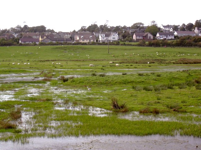
The headland is characterized by its diverse and rich wildlife. The surrounding waters are home to various species of marine life, such as seals and dolphins, while the cliffs provide nesting grounds for seabirds like gannets, fulmars, and kittiwakes. It is not uncommon to spot these creatures during a visit to Pikehorn, adding to the allure of this coastal feature.

In addition to its natural wonders, Pikehorn also holds historical significance. The headland is believed to have played a role in the region's maritime history, with its elevated position providing an advantageous viewpoint for observing coastal activities and potential threats. Over the years, remnants of old fortifications and watchtowers have been discovered in the vicinity, further attesting to its strategic importance.

Overall, Pikehorn is a remarkable headland in Wigtownshire, offering a blend of natural beauty, wildlife, and historical significance. Its impressive cliffs, stunning views, and vibrant ecosystem make it a must-visit destination for anyone exploring the western coast of Scotland.

If you have any feedback on the listing, please let us know in the comments section below.
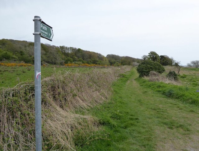
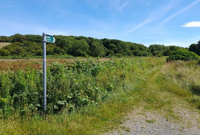
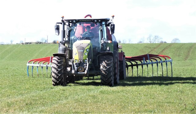
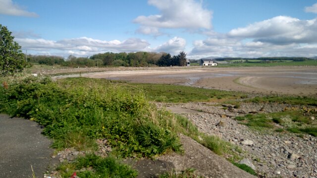
Pikehorn Images

Images are sourced within 2km of 54.804701/-4.3439523 or Grid Reference NX4948. Thanks to Geograph Open Source API. All images are credited.

Mulberry Harbour Remains The WWII D-Day Mulberry Harbour trials around Garlieston tested the viability of different types of equipment. A storm tested some components to destruction and the components were left to rot. Some are still there!
<span class="nowrap"><a title="https://mulberryharbour.info/" rel="nofollow ugc noopener" href="https://mulberryharbour.info/">Link</a><img style="margin-left:2px;" alt="External link" title="External link - shift click to open in new window" src="https://s1.geograph.org.uk/img/external.png" width="10" height="10"/></span>
Mulberry Harbour Remains
The WWII D-Day Mulberry Harbour trials around Garlieston tested the viability of different types of equipment. A storm tested some components to destruction and the components were left to rot. Some are still there! LinkExternal link
Modern housing north of Garlieston village The map suggests it is the Ropeworks, maybe redeveloped!
Modern housing north of Garlieston village
The map suggests it is the Ropeworks, maybe redeveloped!
Garlieston from the north On the road to Eggerness.
Garlieston from the north
On the road to Eggerness.
The road to Eggerness With a scruffy unwelcome sign!
Better to walk around the coast the 3 miles to Innerwell.
The road to Eggerness
With a scruffy unwelcome sign! Better to walk around the coast the 3 miles to Innerwell.
Path to Innerwell Around the coast past Eggerness Point.
Path to Innerwell
Around the coast past Eggerness Point.
Core path 338 Core path 338 to Innerwell.
Core path 338
Core path 338 to Innerwell.
Slurry Spreading 1 Coming down the hill to the road.
Slurry Spreading 1
Coming down the hill to the road.
Slurry Spreading 2 Heading back up the hill towards Penkiln Farm
Slurry Spreading 2
Heading back up the hill towards Penkiln Farm
The shore at Garlieston (tide out)
Sileage crop near Penkiln Just about ready for cutting.
Sileage crop near Penkiln
Just about ready for cutting.
The start of the path to Innerwell There appears to have been a recent litter pick, as demonstrated by the pile of full green plastic sacks at this junction.
The start of the path to Innerwell
There appears to have been a recent litter pick, as demonstrated by the pile of full green plastic sacks at this junction.
The path through the woods at Garlieston Bay The bluebells are in full bloom and a joy to behold.
The path through the woods at Garlieston Bay
The bluebells are in full bloom and a joy to behold.
The Garlieston to Innerwell path After taking a route through the woodlands, the path moves out to the edge of fields on its way to Eggerness and Innerwell.
The Garlieston to Innerwell path
After taking a route through the woodlands, the path moves out to the edge of fields on its way to Eggerness and Innerwell.
View from the Garlieston to Innerwell path Looking over Brown's Hole to the waters of Wigtown Bay.
View from the Garlieston to Innerwell path
Looking over Brown's Hole to the waters of Wigtown Bay.
Bluebells on the Garlieston to Innerwell path This is near Eggerness.  The display of bluebells in this woodland this year is quite the most magnificent I have seen - the blooms go on for mile after mile!
Bluebells on the Garlieston to Innerwell path
This is near Eggerness. The display of bluebells in this woodland this year is quite the most magnificent I have seen - the blooms go on for mile after mile!
Bluebells on the Garlieston to Innerwell path This is near Eggerness. The display of bluebells in this woodland this year is quite the most magnificent I have seen - the blooms go on for mile after mile!
Bluebells on the Garlieston to Innerwell path
This is near Eggerness. The display of bluebells in this woodland this year is quite the most magnificent I have seen - the blooms go on for mile after mile!
Ramsons (wild garlic) by the Garlieston to Innerwell path Looking out over Castle Head to Wigtown Bay.
Ramsons (wild garlic) by the Garlieston to Innerwell path
Looking out over Castle Head to Wigtown Bay.
Show me another place!

Pikehorn is located at Grid Ref: NX4948 (Lat: 54.804701, Lng: -4.3439523)

Unitary Authority: Dumfries and Galloway

Police Authority: Dumfries and Galloway

What 3 Words

///billiard.devotion.bombshell. Near Whithorn, Dumfries & Galloway

Related Wikis

Garlieston

Garlieston (Scottish Gaelic: Baile Gheàrr Lios, IPA:[ˈpaləʝeaːᵲʎis̪]) is a small planned coastal village in the historical county of Wigtownshire in Dumfries...

Garlieston railway station

Garlieston is the closed terminus of the Garlieston branch of Wigtownshire Railway; running from a junction at Millisle. It served the coastal village...

Wigtown Bay

Wigtown Bay is a large inlet of the Irish Sea on the coast of Galloway in southwest Scotland. Its coastline falls entirely within the modern administrative...

Galloway House

Galloway House is a Category A listed country house in Sorbie, Dumfries and Galloway, Scotland. == History == Adjoining the estate village of Garlieston...

Nearby Amenities

Located within 500m of 54.804701,-4.3439523
Source: PGS
Lat/Long: 54.8006039/-4.3420153
Source: PGS
Lat/Long: 54.800803/-4.341076
Source: PGS
Lat/Long: 54.801056/-4.341305
Source: PGS
Lat/Long: 54.801174/-4.342196
Source: PGS
Lat/Long: 54.801298/-4.342643
Source: PGS
Lat/Long: 54.801556/-4.342431
Source: PGS
Lat/Long: 54.802068/-4.342448
Source: PGS
Lat/Long: 54.802831/-4.342917
Source: PGS
Lat/Long: 54.803083/-4.343368
Source: PGS
Lat/Long: 54.804358/-4.343854
Source: PGS
Lat/Long: 54.8049929/-4.3444317
Source: PGS
Lat/Long: 54.8051492/-4.3448044
Source: PGS
Lat/Long: 54.8054408/-4.3451604
Source: PGS
Lat/Long: 54.8058671/-4.3452942
Source: PGS
Lat/Long: 54.806011/-4.3449373
Source: PGS
Lat/Long: 54.8063704/-4.3457622
Source: PGS
Lat/Long: 54.8074415/-4.3460552
Source: PGS
Lat/Long: 54.8074563/-4.3465264
Source: PGS
Lat/Long: 54.8076865/-4.346624
Source: PGS
Lat/Long: 54.8081194/-4.3468945
Source: PGS
Lat/Long: 54.8084987/-4.3465315
Place: farm
Lat/Long: 54.8016224/-4.3471207
Power: pole
Lat/Long: 54.8014085/-4.3492399
Power: pole
Lat/Long: 54.8012241/-4.3481934
The data included in this document is from www.openstreetmap.org. The data is made available under ODbL.

Have you been to Pikehorn?

Leave your review of Pikehorn below (or comments, questions and feedback).