Whitestone Field Point

Coastal Feature, Headland, Point in Devon North Devon

England

Whitestone Field Point

View across the bay at Lee, low tide
View across the bay at Lee, low tide Credit: David Martin

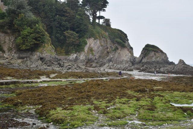
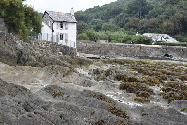
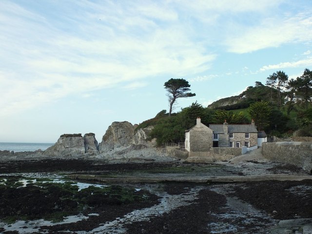
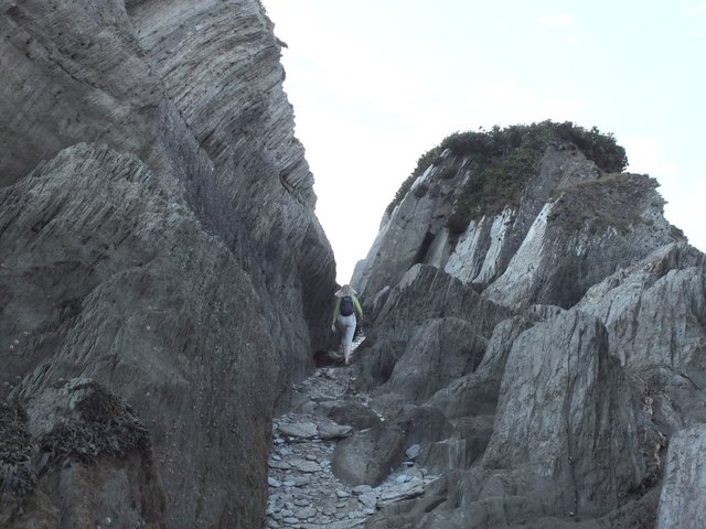
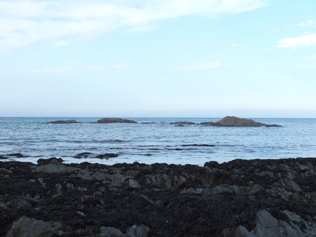
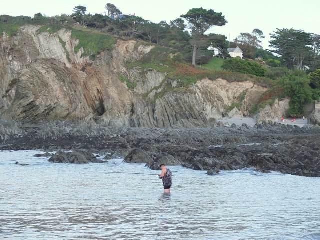
Whitestone Field Point is a prominent headland located in Devon, England. It is situated along the rugged coastline, offering stunning views of the surrounding area. The point is characterized by its white stone cliffs that jut out into the sea, giving it a distinctive appearance that can be seen from miles away.

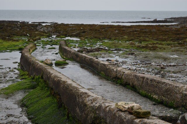
The area around Whitestone Field Point is known for its diverse wildlife and natural beauty. Visitors can often spot seabirds nesting on the cliffs, as well as seals and other marine life in the waters below. The point is also a popular spot for hiking and exploring, with several trails leading along the coastline and offering breathtaking views of the sea and surrounding countryside.

Whitestone Field Point is a significant landmark in the region, serving as a navigation point for sailors and fishermen. The point's elevated position provides a commanding view of the coastline, making it a strategic location for observing the sea and monitoring maritime activity.

Overall, Whitestone Field Point is a stunning coastal feature that offers both natural beauty and recreational opportunities for visitors to enjoy.

If you have any feedback on the listing, please let us know in the comments section below.

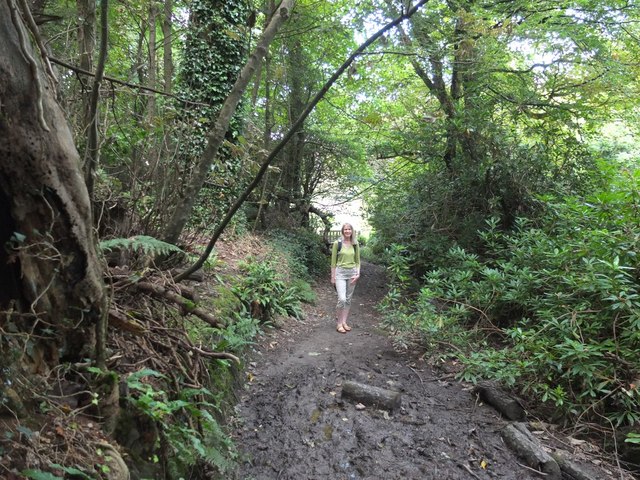
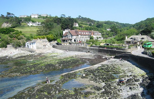
Whitestone Field Point Images

Images are sourced within 2km of 51.203621/-4.1584507 or Grid Reference SS4947. Thanks to Geograph Open Source API. All images are credited.

View across the bay at Lee, low tide
Stream channel onto shore at Lee
House on the shore at Lee
Rocky shore at Lee
Rocky shore at Lee
The South West Coast Path
Sign at Women's Institute Car Park at Lee
Old Maid's Cottage, Lee, North Devon
Junction on Home Lane, Lee, North Devon
Footpath to Wrinkle Wood, Lee, North Devon
Lee Bay, North Devon
Passage from Lee Bay to Sandy Cove
Rocks in Lee Bay, North Devon
Sea fishing in Lee Bay, North Devon
Kayakers coming ashore at Lee Bay, North Devon
Path in Borough Valley near Lee, North Devon
Ordnance Survey Rivet This OS rivet can be found on the concrete base which once had a gatepost standing on it. West side of road. It marks a point 64.191m above mean sea level.
Ordnance Survey Rivet
This OS rivet can be found on the concrete base which once had a gatepost standing on it. West side of road. It marks a point 64.191m above mean sea level.
Windswept trees at a bend in the road near Rockley
Speed limits through Wrinkle Wood The narrow road from the west into Lee Bay has a 20mph limit and no waiting
Speed limits through Wrinkle Wood
The narrow road from the west into Lee Bay has a 20mph limit and no waiting
Show me another place!

Whitestone Field Point is located at Grid Ref: SS4947 (Lat: 51.203621, Lng: -4.1584507)

Administrative County: Devon

District: North Devon

Police Authority: Devon and Cornwall

What 3 Words

///overpaid.training.topping. Near Ilfracombe, Devon

Related Wikis

The Torrs

The Torrs are a Local Nature Reserve and one of the four main hills in the North Devon coastal town of Ilfracombe. The Park originally was designed in...

Lee Bay

Lee Bay or just Lee is a small village on the North Devon coast near Woolacombe. Lee is situated on the rugged and inhospitable stretch of coast between...

Slade Reservoirs

The Slade Reservoirs are twin reservoirs in the North Devon town of Ilfracombe, England. They are owned by South West Water, and leased to South West Lakes...

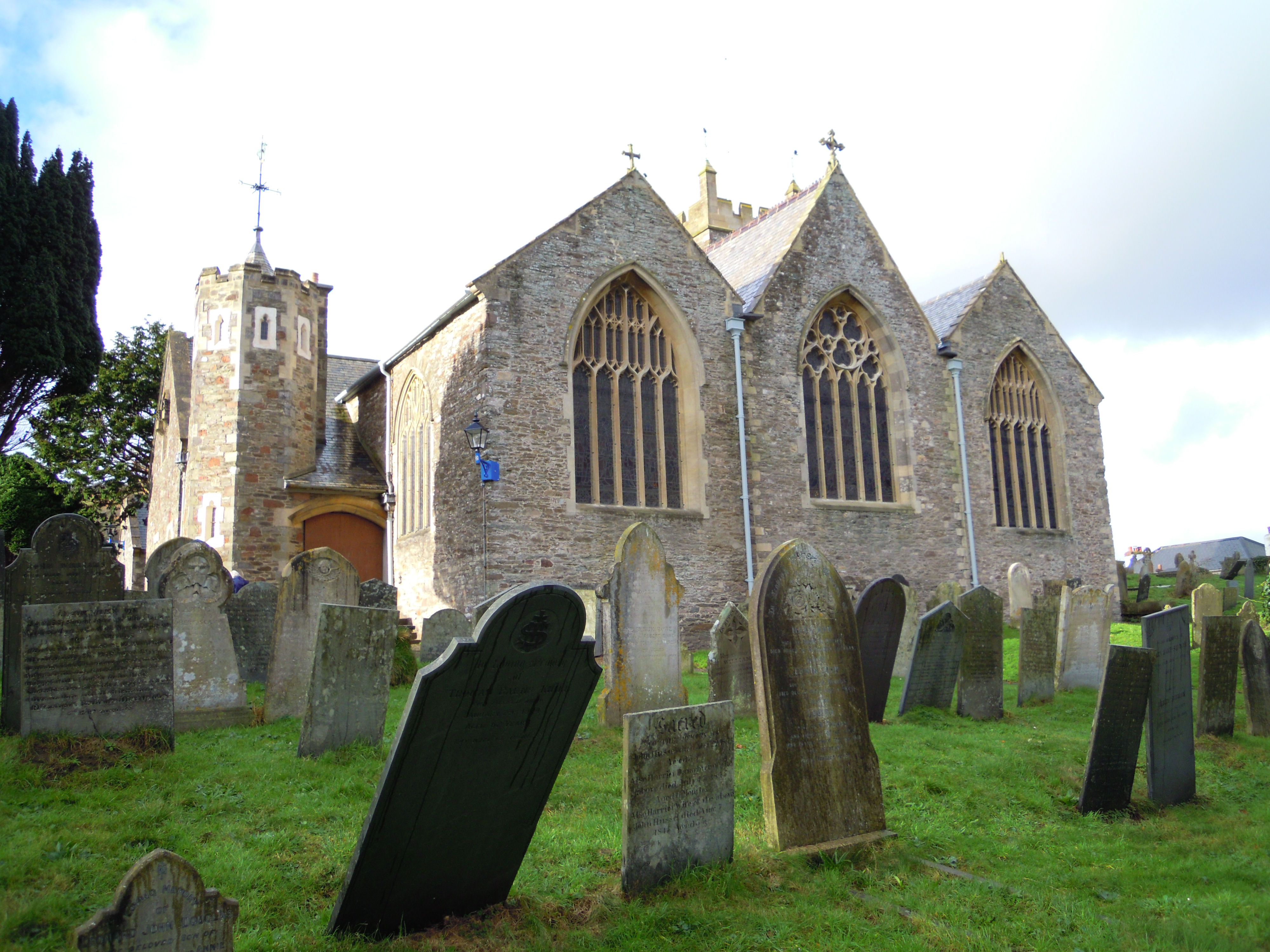
Holy Trinity Church, Ilfracombe

The Church of the Holy Trinity is the Anglican parish church for Ilfracombe in Devon. The building has been a Grade I listed building since 1951 and comes...

Nearby Amenities

Located within 500m of 51.203621,-4.1584507
Source: PGS
Lat/Long: 51.2042207/-4.1523948
Source: PGS
Lat/Long: 51.2044918/-4.1532272
Source: PGS
Lat/Long: 51.2044202/-4.1566898
Source: PGS
Lat/Long: 51.2030578/-4.1595892
Source: PGS
Lat/Long: 51.2028762/-4.1598825
Source: PGS
Lat/Long: 51.2027287/-4.1602789
Source: PGS
Lat/Long: 51.2025931/-4.1607326
Source: PGS
Lat/Long: 51.2027581/-4.1615603
Source: PGS
Lat/Long: 51.2030137/-4.1633341
Source: PGS
Lat/Long: 51.2028038/-4.1637176
Source: PGS
Lat/Long: 51.2030072/-4.165301
Wheatstone Field Point
Place: locality
Lat/Long: 51.2041641/-4.1600176
Flat Point
Place: locality
Lat/Long: 51.2053757/-4.1573407
Source: PGS
Lat/Long: 51.2021675/-4.1575349
Source: PGS
Lat/Long: 51.201812/-4.1604138
Source: PGS
Lat/Long: 51.2025485/-4.1641341
Source: PGS
Lat/Long: 51.2024351/-4.1611422
Source: PGS
Lat/Long: 51.2032879/-4.1565832
Source: PGS
Lat/Long: 51.2021239/-4.1625123
Source: PGS
Lat/Long: 51.2022408/-4.1614963
Source: PGS
Lat/Long: 51.2033553/-4.1516865
Source: PGS
Lat/Long: 51.2036958/-4.1513108
Source: PGS
Lat/Long: 51.2037762/-4.1560997
Freshwater Bay
Natural: bay
Source: OS_OpenData_StreetView
Lat/Long: 51.2032142/-4.1608343
Bench
Lat/Long: 51.2006086/-4.1557658
The data included in this document is from www.openstreetmap.org. The data is made available under ODbL.

Have you been to Whitestone Field Point?

Leave your review of Whitestone Field Point below (or comments, questions and feedback).