Port McGean Point
Coastal Feature, Headland, Point in Wigtownshire
Scotland
Port McGean Point
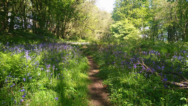
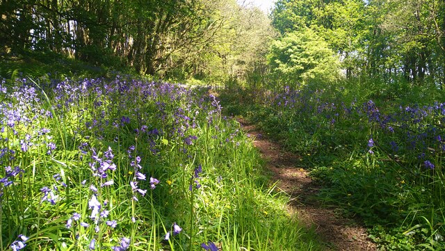
Port McGean Point is a prominent and picturesque headland located in Wigtownshire, a region in the southwest of Scotland. This coastal feature is known for its dramatic cliffs, rugged terrain, and stunning views of the surrounding coastline.
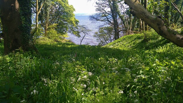
Situated on the eastern shore of the Irish Sea, Port McGean Point juts out into the ocean, forming a distinctive and easily recognizable headland. The area is characterized by its rocky landscape, with exposed cliffs that rise up to 30 meters above sea level. These cliffs are composed of various types of sedimentary rock, including sandstone and shale, which have been shaped over centuries by the relentless pounding of the waves.
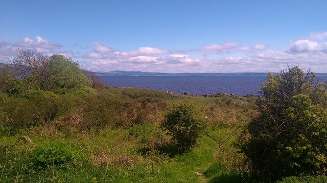
The point offers breathtaking panoramic vistas, with sweeping views of the open sea and the nearby countryside. On clear days, visitors can see as far as the Isle of Man, which lies approximately 40 kilometers to the southwest. The rugged and wild beauty of Port McGean Point attracts nature enthusiasts and hikers, who can explore the coastal paths and enjoy the abundance of wildlife that thrives in the area.
The point is also home to a small harbor, which provides shelter for local fishing boats and pleasure craft. This harbor has played a vital role in the local economy, serving as a hub for fishing and trade activities for centuries.
Overall, Port McGean Point is a stunning coastal feature that showcases the natural beauty and ruggedness of the Wigtownshire coast. It offers visitors a chance to immerse themselves in the untamed splendor of the Scottish coastline and provides a glimpse into the rich history and economic significance of the area.
If you have any feedback on the listing, please let us know in the comments section below.
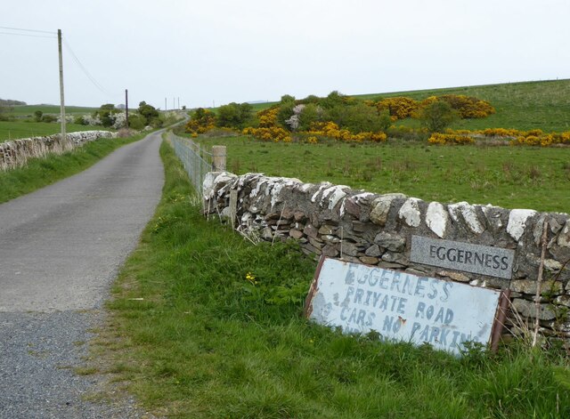
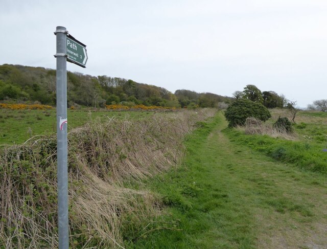
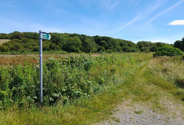
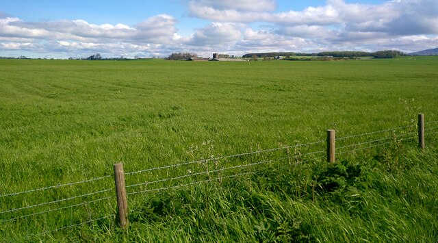
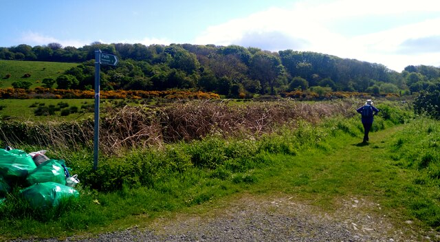
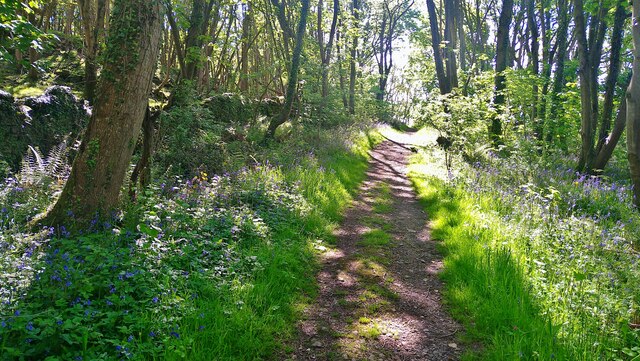
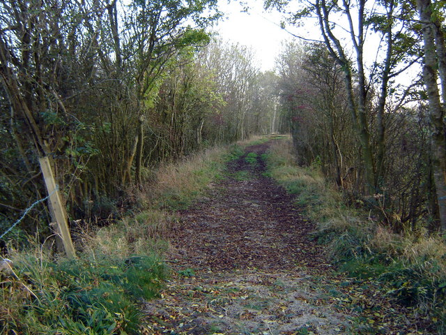
Port McGean Point Images
Images are sourced within 2km of 54.81022/-4.3495168 or Grid Reference NX4948. Thanks to Geograph Open Source API. All images are credited.


Port McGean Point is located at Grid Ref: NX4948 (Lat: 54.81022, Lng: -4.3495168)
Unitary Authority: Dumfries and Galloway
Police Authority: Dumfries and Galloway
What 3 Words
///direction.carbonate.drill. Near Whithorn, Dumfries & Galloway
Nearby Locations
Related Wikis

Garlieston
Garlieston (Scottish Gaelic: Baile Gheàrr Lios, IPA:[ˈpaləʝeaːᵲʎis̪]) is a small planned coastal village in the historical county of Wigtownshire in Dumfries...

Garlieston railway station
Garlieston is the closed terminus of the Garlieston branch of Wigtownshire Railway; running from a junction at Millisle. It served the coastal village...
Wigtown Bay
Wigtown Bay is a large inlet of the Irish Sea on the coast of Galloway in southwest Scotland. Its coastline falls entirely within the modern administrative...
Millisle railway station
Millisle, later Millisle for Garlieston was a railway station that was near the junction for Garlieston on the Wigtownshire Railway branch line, from Newton...

Galloway House
Galloway House is a Category A listed country house in Sorbie, Dumfries and Galloway, Scotland. == History == Adjoining the estate village of Garlieston...

Sorbie Tower
Sorbie Tower is a fortified tower house 1 mile east of the village of Sorbie, Dumfries and Galloway, Scotland. The ancient seat of the Clan Hannay, it...
Ravenshall Wood
Ravenshall Wood is a Site of Special Scientific Interest, located 5 kilometres east of Creetown in the historic county of Kirkcudbrightshire, Dumfries...
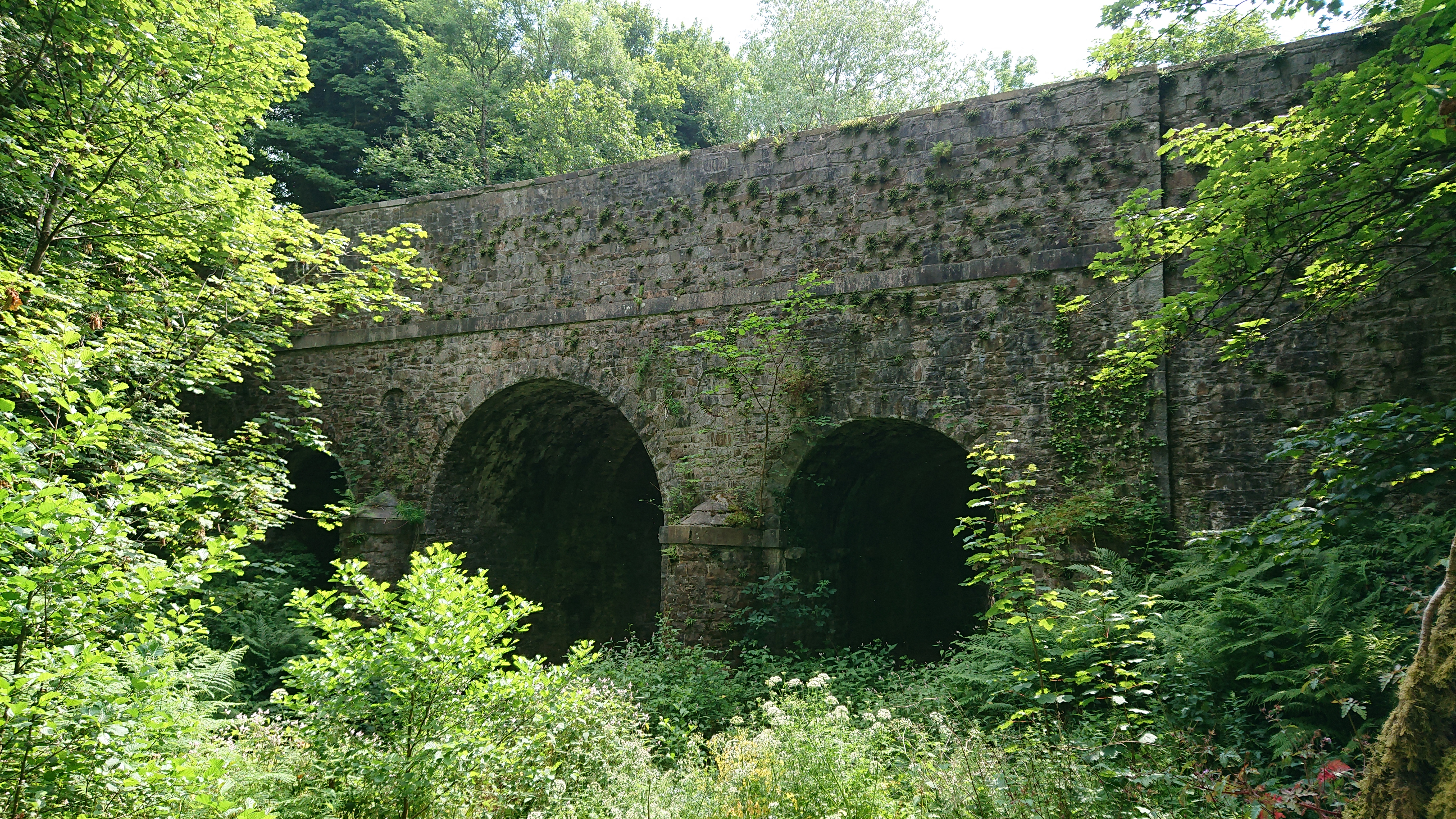
Kirkdale Bridge
Kirkdale Bridge is a bridge over the Kirkdale Burn in the parish of Kirkmabreck, between Gatehouse of Fleet and Creetown in Dumfries and Galloway, Scotland...
Nearby Amenities
Located within 500m of 54.81022,-4.3495168Have you been to Port McGean Point?
Leave your review of Port McGean Point below (or comments, questions and feedback).