Renney Point
Coastal Feature, Headland, Point in Devon South Hams
England
Renney Point
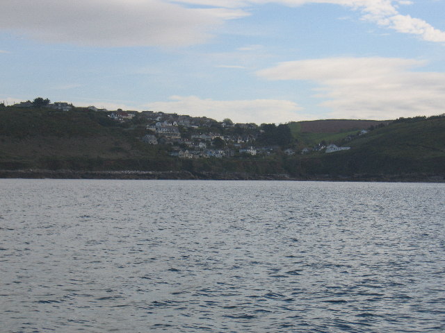
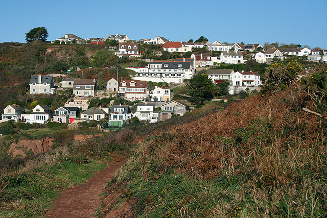
Renney Point is a prominent headland located along the rugged coastline of Devon, England. Situated near the village of Budleigh Salterton, this coastal feature offers breathtaking views of the surrounding area and is a popular destination for nature enthusiasts and hikers.
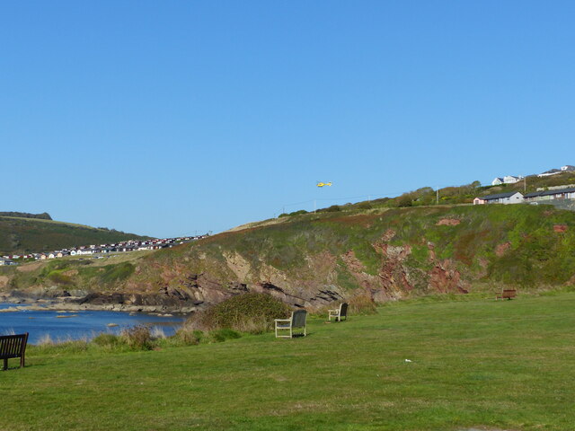
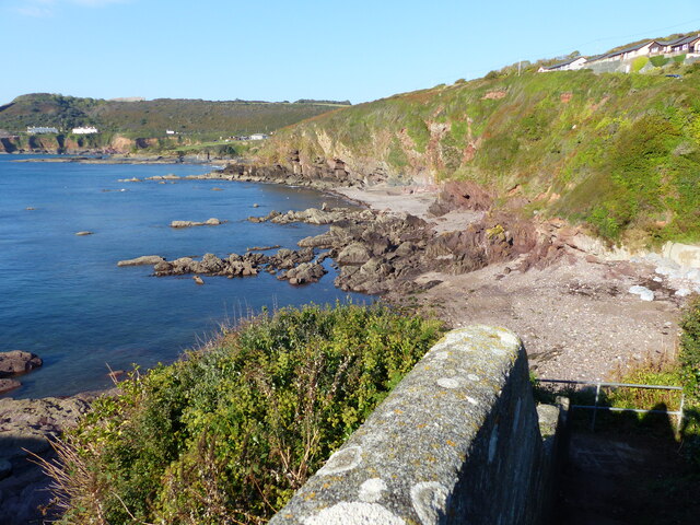
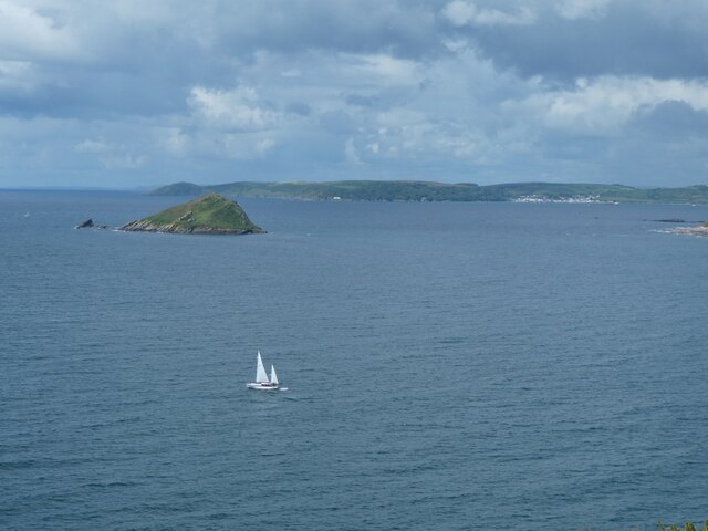
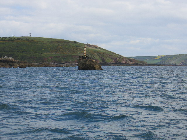
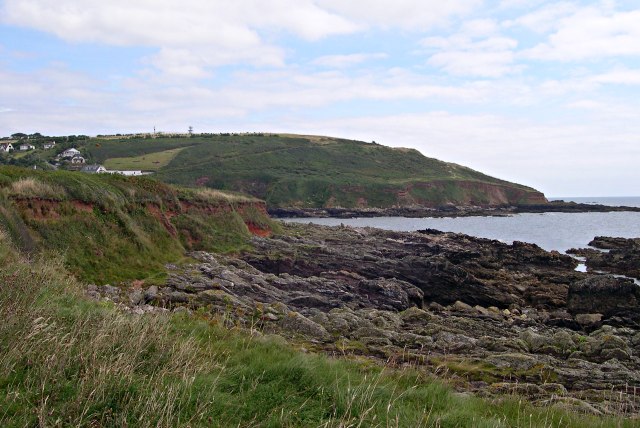
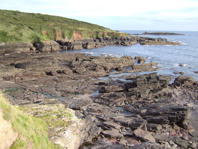
The headland juts out into the English Channel, forming a distinct point that separates two stunning beaches on either side. On the east side, visitors can explore the pebble beach of Budleigh Salterton, known for its tranquility and abundance of unique rock formations. On the west side lies the sandy beach of Ladram Bay, which attracts families and sunbathers during the summer months.
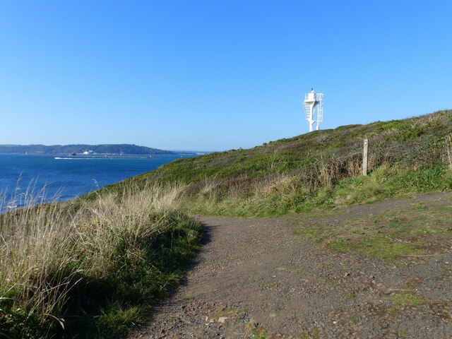
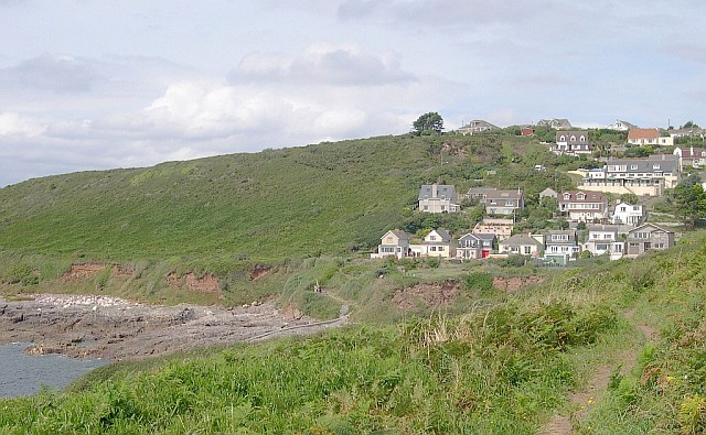
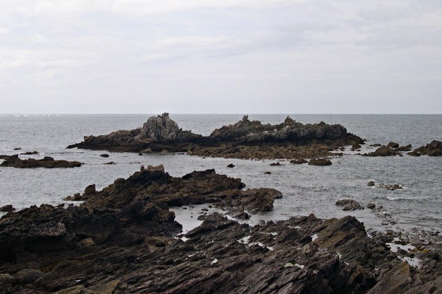
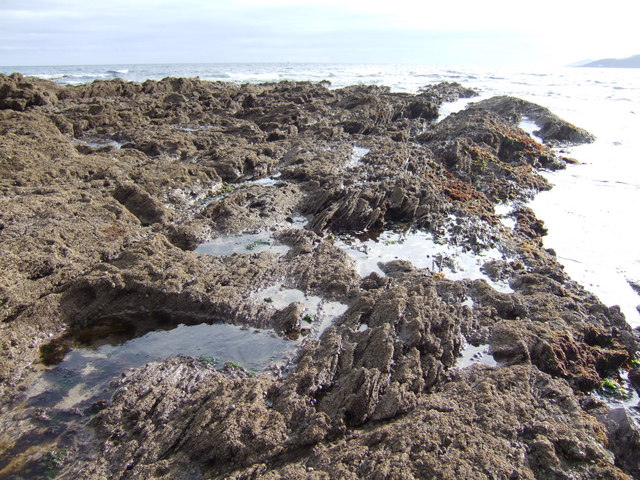
Renney Point itself is characterized by its rugged cliffs, which tower above the crashing waves below. The cliffs are composed of red sandstone, providing a striking contrast against the deep blue waters of the Channel. The headland also features lush green vegetation, including wildflowers and grasses, adding to its natural beauty.
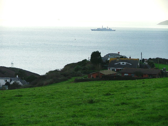
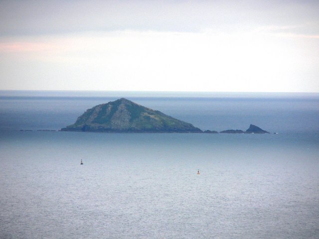
Due to its location, Renney Point is an excellent spot for birdwatching. The headland provides a vantage point for observing various seabirds, such as gulls, cormorants, and even the occasional puffin. It is also a great place to spot other wildlife, including seals and dolphins that often swim close to the shore.
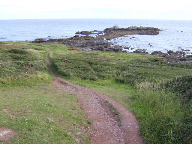
For those seeking outdoor activities, Renney Point offers several coastal paths and trails that lead to nearby landmarks and viewpoints. These paths allow visitors to explore the diverse flora and fauna of the area while enjoying the stunning coastal scenery.
In summary, Renney Point is a captivating headland in Devon, offering stunning views, diverse wildlife, and opportunities for outdoor exploration. Whether you are a nature lover, hiker, or simply seeking a peaceful escape, this coastal feature is sure to leave a lasting impression.
If you have any feedback on the listing, please let us know in the comments section below.
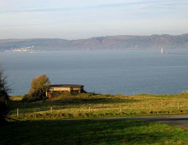
Renney Point Images
Images are sourced within 2km of 50.320318/-4.120137 or Grid Reference SX4948. Thanks to Geograph Open Source API. All images are credited.

Renney Point is located at Grid Ref: SX4948 (Lat: 50.320318, Lng: -4.120137)
Administrative County: Devon
District: South Hams
Police Authority: Devon and Cornwall
What 3 Words
///fulfilled.messing.version. Near Wembury, Devon
Nearby Locations
Related Wikis

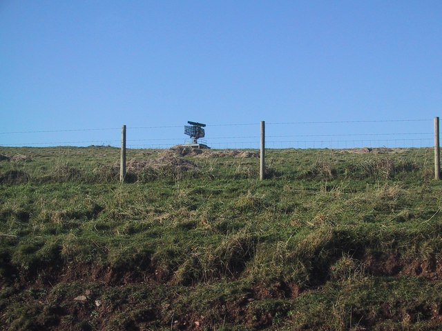
Lentney Battery
Lentney Battery is a former 20th-century gun battery, built in 1905 as one of three 6-inch gun batteries to defend the Eastern approaches to Plymouth Sound...

Watch House Battery
Watch House Battery is a former 19th-century gun battery, built as one of a number of batteries to defend the Eastern approaches to Plymouth Sound, for...

Glen Strathallan
Glen Strathallan was a British ship originally built as a trawler, but then converted into a private yacht, which also served in the Royal Navy in World...
HMS Cambridge (shore establishment)
HMS Cambridge was a Royal Navy shore establishment south of Plymouth UK, commissioned between 1956 and 2001. Formerly named HM Gunnery School, Devonport...
Nearby Amenities
Located within 500m of 50.320318,-4.120137Have you been to Renney Point?
Leave your review of Renney Point below (or comments, questions and feedback).