Crows Nest

Island in Wigtownshire

Scotland

Crows Nest

The road to Eggerness With a scruffy unwelcome sign!
Better to walk around the coast the 3 miles to Innerwell.
The road to Eggerness Credit: Russel Wills

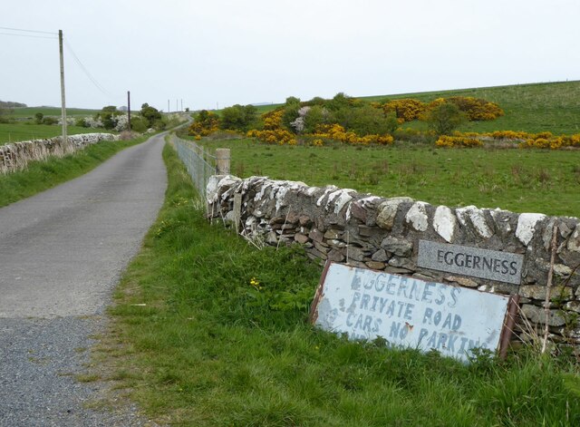
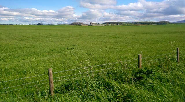
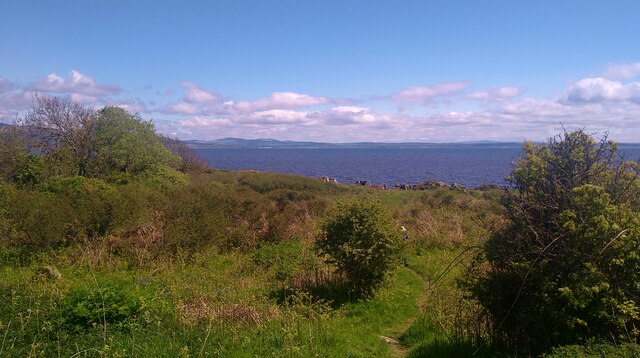
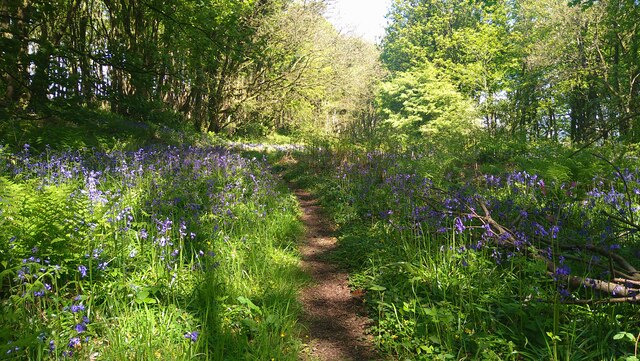
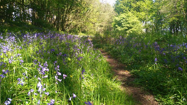
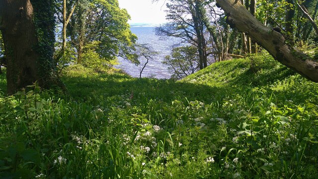
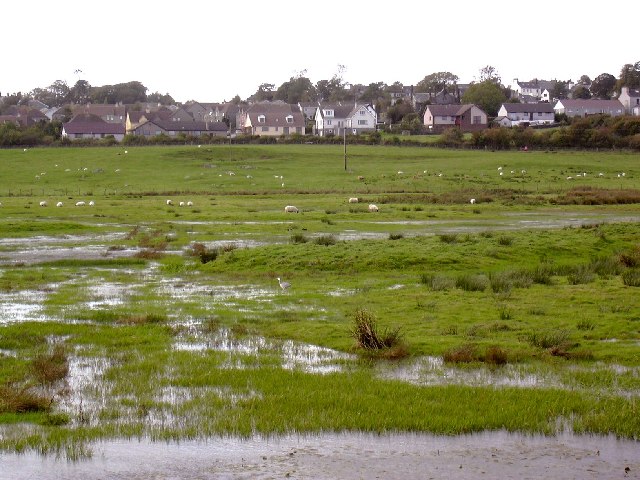
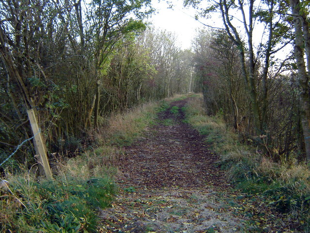
Crows Nest is a small, uninhabited island located off the coast of Wigtownshire in southwestern Scotland. Situated in the Irish Sea, this rocky islet is approximately 2 kilometers long and lies about 1.5 kilometers off the coast of the mainland. The island gets its name from the large number of crows and other avian species that inhabit the area.

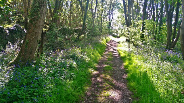
Although Crows Nest is not accessible to the public due to its isolated and rugged nature, it serves as an important breeding ground for various seabirds, including guillemots, razorbills, and puffins. These birds flock to the island during the nesting season, creating a thriving ecosystem.

Visually, Crows Nest is characterized by its steep cliffs, which rise up to 30 meters above sea level, providing ideal nesting sites for the avian population. The surrounding waters are teeming with marine life, making it a popular spot for birdwatchers and nature enthusiasts.

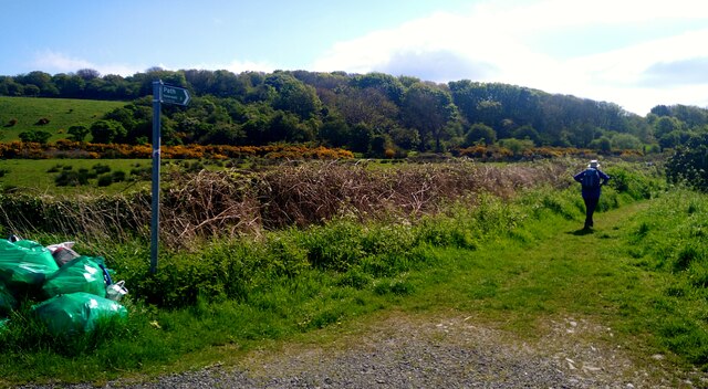
Due to its remote location and lack of human presence, the island has remained mostly untouched by human activity. It does not offer any amenities or facilities for visitors, and access to the island is strictly prohibited to protect the fragile ecosystem and nesting birds.

Crows Nest serves as a testament to the natural beauty and biodiversity found in the Wigtownshire region. While it may not be accessible to the general public, its conservation status ensures that its avian inhabitants can thrive undisturbed and continue to contribute to the rich ecological tapestry of the area.

If you have any feedback on the listing, please let us know in the comments section below.

Crows Nest Images

Images are sourced within 2km of 54.809892/-4.3492799 or Grid Reference NX4948. Thanks to Geograph Open Source API. All images are credited.

The road to Eggerness With a scruffy unwelcome sign!
Better to walk around the coast the 3 miles to Innerwell.
The road to Eggerness
With a scruffy unwelcome sign! Better to walk around the coast the 3 miles to Innerwell.
Path to Innerwell Around the coast past Eggerness Point.
Path to Innerwell
Around the coast past Eggerness Point.
Core path 338 Core path 338 to Innerwell.
Core path 338
Core path 338 to Innerwell.
Slurry Spreading 1 Coming down the hill to the road.
Slurry Spreading 1
Coming down the hill to the road.
Slurry Spreading 2 Heading back up the hill towards Penkiln Farm
Slurry Spreading 2
Heading back up the hill towards Penkiln Farm
Sileage crop near Penkiln Just about ready for cutting.
Sileage crop near Penkiln
Just about ready for cutting.
The start of the path to Innerwell There appears to have been a recent litter pick, as demonstrated by the pile of full green plastic sacks at this junction.
The start of the path to Innerwell
There appears to have been a recent litter pick, as demonstrated by the pile of full green plastic sacks at this junction.
The path through the woods at Garlieston Bay The bluebells are in full bloom and a joy to behold.
The path through the woods at Garlieston Bay
The bluebells are in full bloom and a joy to behold.
View from the Garlieston to Innerwell path Looking over Brown's Hole to the waters of Wigtown Bay.
View from the Garlieston to Innerwell path
Looking over Brown's Hole to the waters of Wigtown Bay.
Bluebells on the Garlieston to Innerwell path This is near Eggerness.  The display of bluebells in this woodland this year is quite the most magnificent I have seen - the blooms go on for mile after mile!
Bluebells on the Garlieston to Innerwell path
This is near Eggerness. The display of bluebells in this woodland this year is quite the most magnificent I have seen - the blooms go on for mile after mile!
Bluebells on the Garlieston to Innerwell path This is near Eggerness. The display of bluebells in this woodland this year is quite the most magnificent I have seen - the blooms go on for mile after mile!
Bluebells on the Garlieston to Innerwell path
This is near Eggerness. The display of bluebells in this woodland this year is quite the most magnificent I have seen - the blooms go on for mile after mile!
Ramsons (wild garlic) by the Garlieston to Innerwell path Looking out over Castle Head to Wigtown Bay.
Ramsons (wild garlic) by the Garlieston to Innerwell path
Looking out over Castle Head to Wigtown Bay.
Bluebells by the Garlieston to Innerwell path This is near Port McGean. The display of bluebells in this woodland this year is quite the most magnificent I have seen - the blooms go on for mile after mile!
Bluebells by the Garlieston to Innerwell path
This is near Port McGean. The display of bluebells in this woodland this year is quite the most magnificent I have seen - the blooms go on for mile after mile!
Bluebells and ramsons (wild garlic) by the Garlieston to Innerwell path
Bluebells by the Garlieston to Innerwell path This is near Port McGean. The display of bluebells in this woodland this year is quite the most magnificent I have seen - the blooms go on for mile after mile!
Bluebells by the Garlieston to Innerwell path
This is near Port McGean. The display of bluebells in this woodland this year is quite the most magnificent I have seen - the blooms go on for mile after mile!
Bluebells on the Garlieston to Innerwell path This is near Innerwell Port. The display of bluebells in this woodland this year is quite the most magnificent I have seen - the blooms go on for mile after mile!
Bluebells on the Garlieston to Innerwell path
This is near Innerwell Port. The display of bluebells in this woodland this year is quite the most magnificent I have seen - the blooms go on for mile after mile!
New boatshed at Innerwell Port
Innerwell Cottage
Innerwell Cottage
Show me another place!

Crows Nest is located at Grid Ref: NX4948 (Lat: 54.809892, Lng: -4.3492799)

Unitary Authority: Dumfries and Galloway

Police Authority: Dumfries and Galloway

What 3 Words

///belts.cupboards.respected. Near Whithorn, Dumfries & Galloway

Related Wikis

Garlieston

Garlieston (Scottish Gaelic: Baile Gheàrr Lios, IPA:[ˈpaləʝeaːᵲʎis̪]) is a small planned coastal village in the historical county of Wigtownshire in Dumfries...

Garlieston railway station

Garlieston is the closed terminus of the Garlieston branch of Wigtownshire Railway; running from a junction at Millisle. It served the coastal village...

Wigtown Bay

Wigtown Bay is a large inlet of the Irish Sea on the coast of Galloway in southwest Scotland. Its coastline falls entirely within the modern administrative...

Galloway House

Galloway House is a Category A listed country house in Sorbie, Dumfries and Galloway, Scotland. == History == Adjoining the estate village of Garlieston...

Millisle railway station

Millisle, later Millisle for Garlieston was a railway station that was near the junction for Garlieston on the Wigtownshire Railway branch line, from Newton...

Sorbie Tower

Sorbie Tower is a fortified tower house 1 mile east of the village of Sorbie, Dumfries and Galloway, Scotland. The ancient seat of the Clan Hannay, it...

Ravenshall Wood

Ravenshall Wood is a Site of Special Scientific Interest, located 5 kilometres east of Creetown in the historic county of Kirkcudbrightshire, Dumfries...

Kirkdale Bridge

Kirkdale Bridge is a bridge over the Kirkdale Burn in the parish of Kirkmabreck, between Gatehouse of Fleet and Creetown in Dumfries and Galloway, Scotland...

Nearby Amenities

Located within 500m of 54.809892,-4.3492799
Source: PGS
Lat/Long: 54.8063704/-4.3457622
Source: PGS
Lat/Long: 54.8074415/-4.3460552
Source: PGS
Lat/Long: 54.8074563/-4.3465264
Source: PGS
Lat/Long: 54.8076865/-4.346624
Source: PGS
Lat/Long: 54.8081194/-4.3468945
Source: PGS
Lat/Long: 54.8084987/-4.3465315
Source: PGS
Lat/Long: 54.8085959/-4.3482961
Source: PGS
Lat/Long: 54.8094691/-4.3485475
Source: PGS
Lat/Long: 54.8100048/-4.3490085
Source: PGS
Lat/Long: 54.8102362/-4.3494248
Source: PGS
Lat/Long: 54.8104703/-4.3497848
Source: PGS
Lat/Long: 54.8108913/-4.3501415
Source: PGS
Lat/Long: 54.8109882/-4.3510275
Source: PGS
Lat/Long: 54.8111904/-4.3513898
Source: PGS
Lat/Long: 54.8114643/-4.3516414
Source: PGS
Lat/Long: 54.811856/-4.352379
Source: PGS
Lat/Long: 54.8123957/-4.3522501
Source: PGS
Lat/Long: 54.8131301/-4.3532804
Source: PGS
Lat/Long: 54.8131879/-4.353597
The data included in this document is from www.openstreetmap.org. The data is made available under ODbL.

Have you been to Crows Nest?

Leave your review of Crows Nest below (or comments, questions and feedback).