The Gore
Coastal Feature, Headland, Point in Devon Torridge
England
The Gore
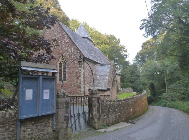
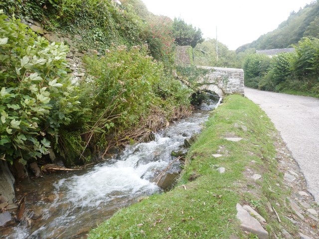
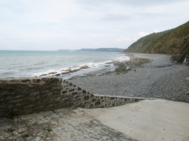
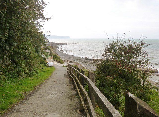
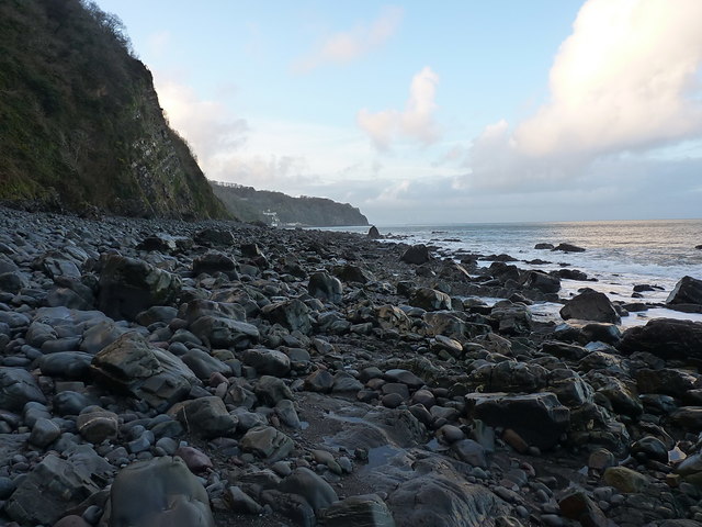
The Gore is a stunning coastal feature located in Devon, England. It is a prominent headland that juts out into the sea, forming a distinctive point along the coastline. Situated on the South West Coast Path, it offers breathtaking views of the surrounding landscape and the vast expanse of the Atlantic Ocean.
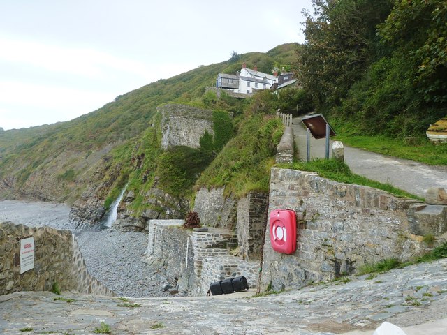
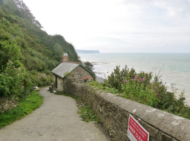
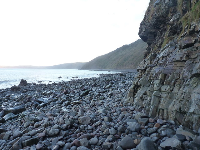
The Gore is characterized by its rugged cliffs, which rise steeply from the water below. These cliffs are composed of layers of sedimentary rock, showcasing the region's geological history. The exposed rock formations provide a fascinating insight into the Earth's past, with fossils often found embedded within them.
The headland is also known for its diverse wildlife. The surrounding waters are home to a variety of marine species, making it a popular spot for snorkeling and diving enthusiasts. Seabirds can be seen soaring above, including fulmars, gulls, and cormorants, adding to the area's natural beauty.
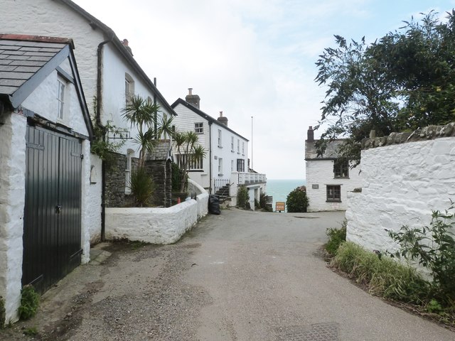
The Gore is a site of historical significance as well. It has been an important landmark for sailors and fishermen for centuries, serving as a navigational point along the coast. The remains of old lookout posts and defense structures can still be seen atop the headland, providing a glimpse into the area's maritime heritage.
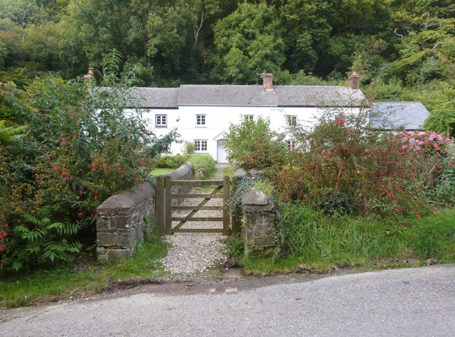
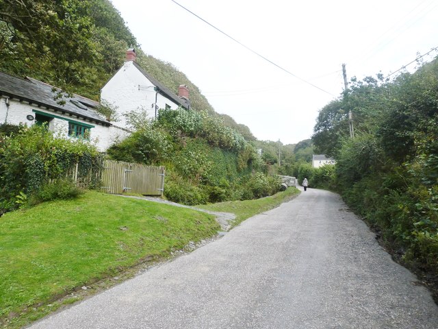
Access to The Gore is easy, with a well-maintained path leading visitors to the point. The stunning views and rich history make it a popular destination for hikers, nature enthusiasts, and history buffs alike. Whether exploring the cliffs, enjoying the wildlife, or simply admiring the beauty of the coastline, The Gore offers a truly unforgettable experience.
If you have any feedback on the listing, please let us know in the comments section below.
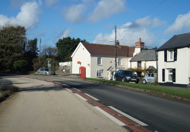
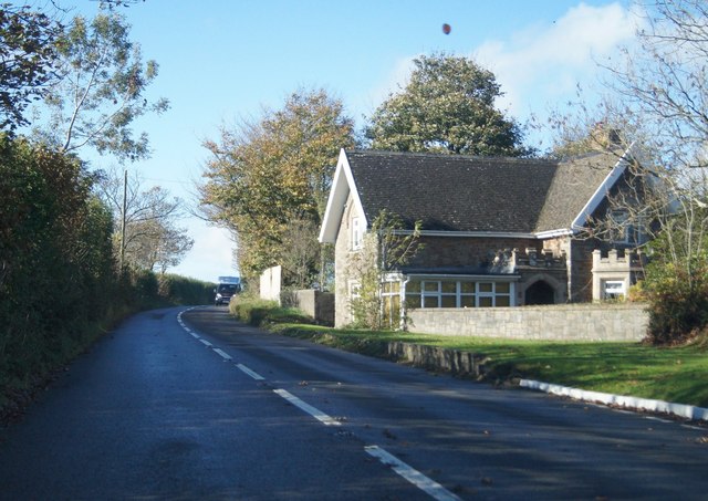
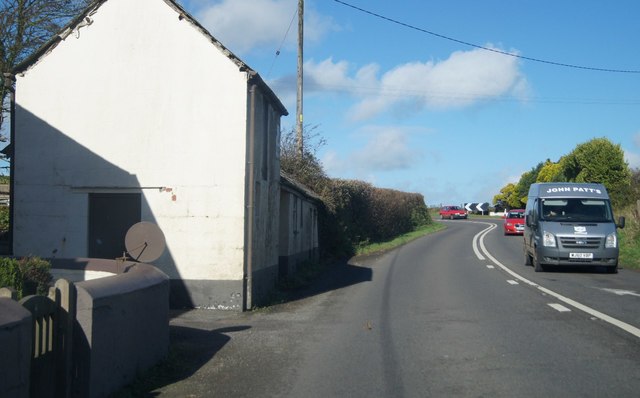
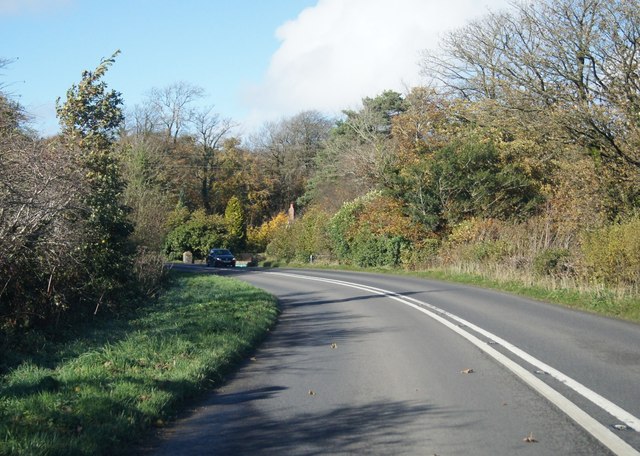
The Gore Images
Images are sourced within 2km of 50.991188/-4.352542 or Grid Reference SS3423. Thanks to Geograph Open Source API. All images are credited.
The Gore is located at Grid Ref: SS3423 (Lat: 50.991188, Lng: -4.352542)
Administrative County: Devon
District: Torridge
Police Authority: Devon and Cornwall
What 3 Words
///asserts.cassettes.heckler. Near Bideford, Devon
Nearby Locations
Related Wikis

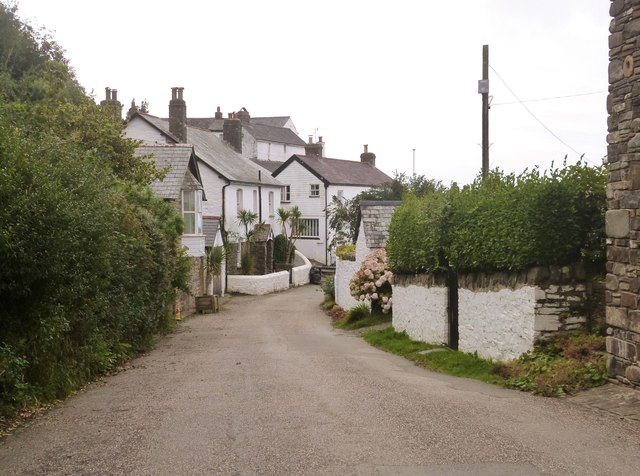
Bucks Mills
Bucks Mills is a small English village within the parish of Woolfardisworthy on the north coast of Devon. It was anciently the mill of the manor of Bucks...

The Milky Way (amusement park)
The Milky Way Adventure Park (Downland Farm) is an amusement park in North Devon. It was named as Devon's Large Attraction of the Year by Visit Devon in...

Lynbarn Railway
The 1 ft 11+1⁄2 in (597 mm) narrow gauge Lynbarn Railway opened in 1995 as a park ride at the Milky Way Adventure Park, a family-based theme park attraction...
Peppercombe
Peppercombe is a small valley (combe) on the north-western coast of Devon, England. It is situated on the South West Coast Path between Westward Ho! to...
Nearby Amenities
Located within 500m of 50.991188,-4.352542Have you been to The Gore?
Leave your review of The Gore below (or comments, questions and feedback).