West Buck's Point

Coastal Feature, Headland, Point in Devon Torridge

England

West Buck's Point

St Ann's church, Bucks Mills, Devon This church was built in 1861 by the Elwes family, who were the former landowners, for the estate workers. It nestles peacefully in this wooded valley, and is constructed from local stone. The remains of
 the quarry is now its car park.
St Ann's church, Bucks Mills, Devon Credit: Derek Voller

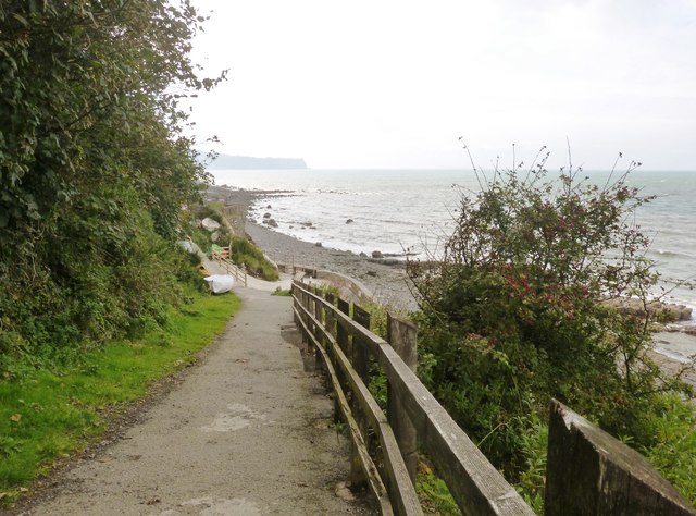
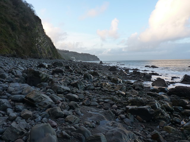
West Buck's Point is a prominent coastal feature located in Devon, England. This headland, also known as a point, juts out into the English Channel, offering breathtaking views of the surrounding coastline. With its striking cliffs and rugged terrain, West Buck's Point is a remarkable natural landmark.

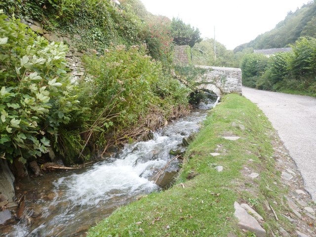
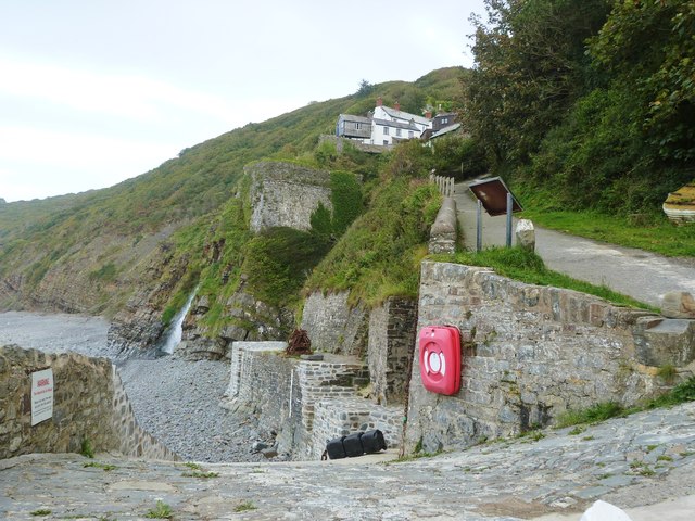
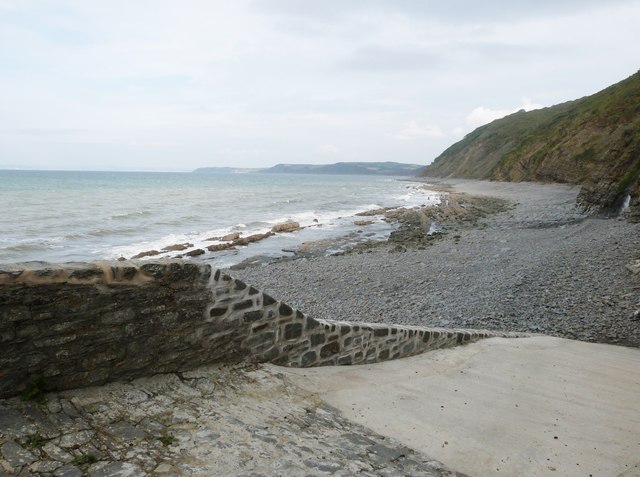
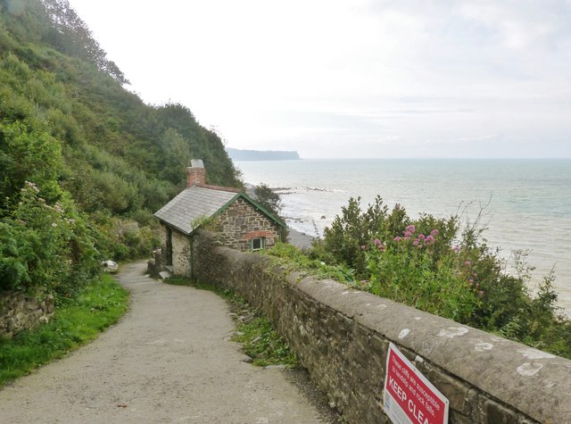
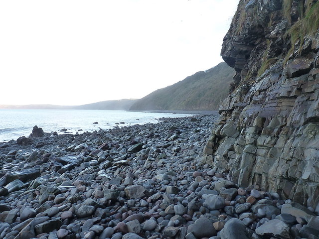
Situated in the southwestern part of Devon, West Buck's Point is characterized by its steep cliffs, which reach heights of up to 100 meters in some areas. These cliffs are composed of sedimentary rock, showcasing layers of different geological formations. Due to its exposed position, the point is subject to erosion caused by the relentless pounding of the waves.

The area around West Buck's Point is rich in biodiversity, with a variety of plant and animal species thriving in the diverse habitats it provides. The cliffs are home to nesting seabirds such as gulls and fulmars, while the surrounding waters support an array of marine life, including seals and dolphins.

The point also boasts a number of historical and cultural features. It has been a significant navigational marker for centuries, guiding ships along the treacherous coastline. In addition, the remains of ancient settlements and structures, including Iron Age fortifications, can be found in the vicinity, serving as a testament to the area's long history.

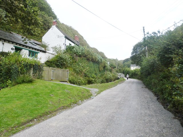
As a popular destination for nature enthusiasts and hikers, West Buck's Point offers a range of recreational activities. Visitors can explore the coastal paths, take in the picturesque views, or even participate in birdwatching and wildlife spotting. With its dramatic cliffs, diverse wildlife, and historical significance, West Buck's Point is a captivating destination for both locals and tourists alike.

If you have any feedback on the listing, please let us know in the comments section below.

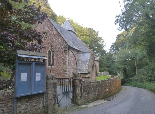
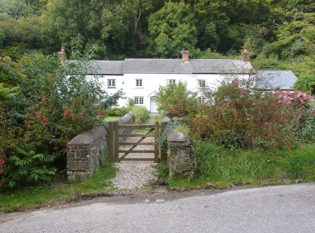
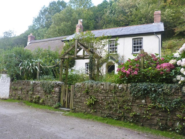
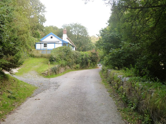
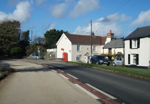
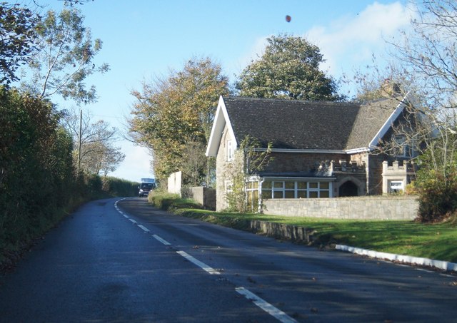
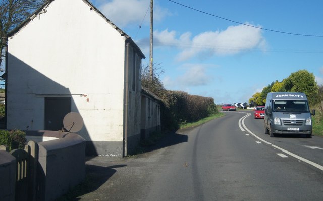
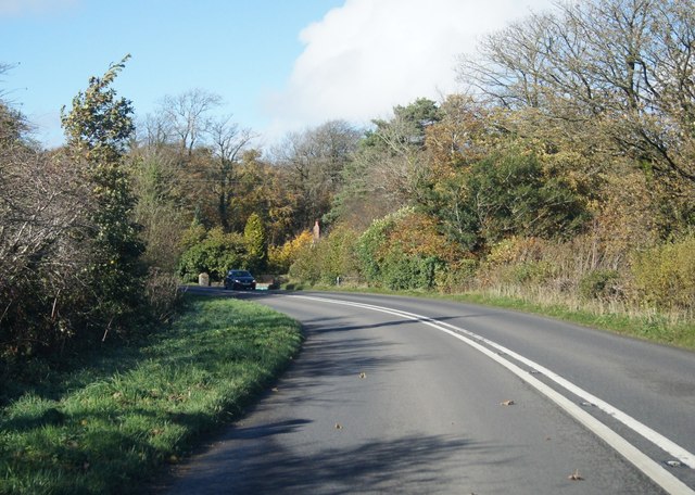
West Buck's Point Images

Images are sourced within 2km of 50.990502/-4.3553146 or Grid Reference SS3423. Thanks to Geograph Open Source API. All images are credited.

St Ann's church, Bucks Mills, Devon This church was built in 1861 by the Elwes family, who were the former landowners, for the estate workers. It nestles peacefully in this wooded valley, and is constructed from local stone. The remains of
 the quarry is now its car park.
St Ann's church, Bucks Mills, Devon
This church was built in 1861 by the Elwes family, who were the former landowners, for the estate workers. It nestles peacefully in this wooded valley, and is constructed from local stone. The remains of the quarry is now its car park.
Cottages at Bucks Mills, Devon
The lane through Bucks Mills, Devon
The fast running stream that passes through the village of Bucks Mills, Devon
The lane through Bucks Mills, Devon
The slipway and harbour at Bucks Mills, Devon The square building is all that remains of the old 19th century lime kiln. This picture also shows the steep path up to the village.
The slipway and harbour at Bucks Mills, Devon
The square building is all that remains of the old 19th century lime kiln. This picture also shows the steep path up to the village.
The slipway  at Bucks Mills, Devon
The slipway at Bucks Mills, Devon
Bottom of the steep path onto the beach and slipway at Bucks Mills, Devon Jutting out into the sea can be seen the "Gore", a pebble bank which legend has it that the Devil was building a causeway to Lundy Island, but gave up when the handle of his shovel broke.
Bottom of the steep path onto the beach and slipway at Bucks Mills, Devon
Jutting out into the sea can be seen the "Gore", a pebble bank which legend has it that the Devil was building a causeway to Lundy Island, but gave up when the handle of his shovel broke.
The steep path down to the sea at Bucks Mills, Devon
The village of Bucks Mills, Devon Ahead is the beginning of the steep path, complete with warning notice, that descends to the beach below
The village of Bucks Mills, Devon
Ahead is the beginning of the steep path, complete with warning notice, that descends to the beach below
The village of Bucks Mills, Devon Most of the dwellings in the village were built between 1812 and 1835 and were of mostly a few rooms. There was a water mill that pre-dated this but had no proper village around it. It was powered by the fast flowing stream that runs down the steep valley to the sea, finally ending up as a waterfall cascading on to the beach. Here was a small harbour constructed to unload the boats full of corn from farms up the coast and over on Lundy Island. The Napoleonic Wars created a need for more land for cultivation, which also created a need for lime as fertiliser for the poor soil, and so two beach-side kilns were built. This increased the population in a village that couldn't expand due to its narrow geographical location. Overcrowding was intense. Many parents reared six or so children in just a couple of rooms.  It was a very tight, insular  community that gained a reputation of hostility towards incomers. Close intermarriage during the 19th century caused Bucks Mills to be known as "The village with one surname".
The village of Bucks Mills, Devon
Most of the dwellings in the village were built between 1812 and 1835 and were of mostly a few rooms. There was a water mill that pre-dated this but had no proper village around it. It was powered by the fast flowing stream that runs down the steep valley to the sea, finally ending up as a waterfall cascading on to the beach. Here was a small harbour constructed to unload the boats full of corn from farms up the coast and over on Lundy Island. The Napoleonic Wars created a need for more land for cultivation, which also created a need for lime as fertiliser for the poor soil, and so two beach-side kilns were built. This increased the population in a village that couldn't expand due to its narrow geographical location. Overcrowding was intense. Many parents reared six or so children in just a couple of rooms. It was a very tight, insular community that gained a reputation of hostility towards incomers. Close intermarriage during the 19th century caused Bucks Mills to be known as "The village with one surname".
A39 in Bucks Cross
A39 in Bucks Cross
Very close to the A39 House by Bideford Caravan park.
Very close to the A39
House by Bideford Caravan park.
A39 at West Bucks
A39 at West Bucks
A39 near Hobby Lodge
Below the cliffs of The Hobby Boulders and wave-cut rocks along the area mapped as 'Lower Bight of Fernham'; it's not difficult country to wander along, so long as you are reasonably agile on your feet, and take some care on the slippery rocks.
Below the cliffs of The Hobby
Boulders and wave-cut rocks along the area mapped as 'Lower Bight of Fernham'; it's not difficult country to wander along, so long as you are reasonably agile on your feet, and take some care on the slippery rocks.
Base of the cliffs below The Hobby Typical wave-washed siltstone and mudstone cliffs for this area, with a boulder beach coming right up to the rocks. Access from above is a bit of a non-starter.
Base of the cliffs below The Hobby
Typical wave-washed siltstone and mudstone cliffs for this area, with a boulder beach coming right up to the rocks. Access from above is a bit of a non-starter.
Show me another place!

West Buck's Point is located at Grid Ref: SS3423 (Lat: 50.990502, Lng: -4.3553146)

Administrative County: Devon

District: Torridge

Police Authority: Devon and Cornwall

What 3 Words

///striving.pizzeria.mocking. Near Bideford, Devon

Related Wikis

Bucks Mills

Bucks Mills is a small English village within the parish of Woolfardisworthy on the north coast of Devon. It was anciently the mill of the manor of Bucks...

The Milky Way (amusement park)

The Milky Way Adventure Park (Downland Farm) is an amusement park in North Devon. It was named as Devon's Large Attraction of the Year by Visit Devon in...

Lynbarn Railway

The 1 ft 11+1⁄2 in (597 mm) narrow gauge Lynbarn Railway opened in 1995 as a park ride at the Milky Way Adventure Park, a family-based theme park attraction...

Burscott

Burscott is a village in Devon, England. == External links == Media related to Burscott at Wikimedia Commons

Nearby Amenities

Located within 500m of 50.990502,-4.3553146
Source: PGS
Lat/Long: 50.9891778/-4.3491351
Source: PGS
Lat/Long: 50.9895352/-4.3509119
Source: PGS
Lat/Long: 50.9896356/-4.3519175
Source: PGS
Lat/Long: 50.9898768/-4.3534561
Source: PGS
Lat/Long: 50.9900992/-4.3565849
Source: PGS
Lat/Long: 50.9901253/-4.3575249
Source: PGS
Lat/Long: 50.9901675/-4.3608872
Bar
Lat/Long: 50.9867326/-4.3564982
The data included in this document is from www.openstreetmap.org. The data is made available under ODbL.

Have you been to West Buck's Point?

Leave your review of West Buck's Point below (or comments, questions and feedback).