Longley
Settlement in Yorkshire
England
Longley
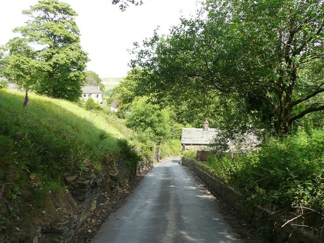
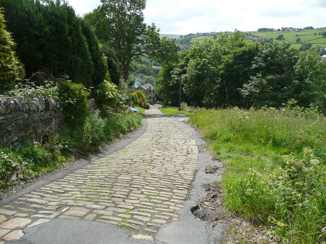
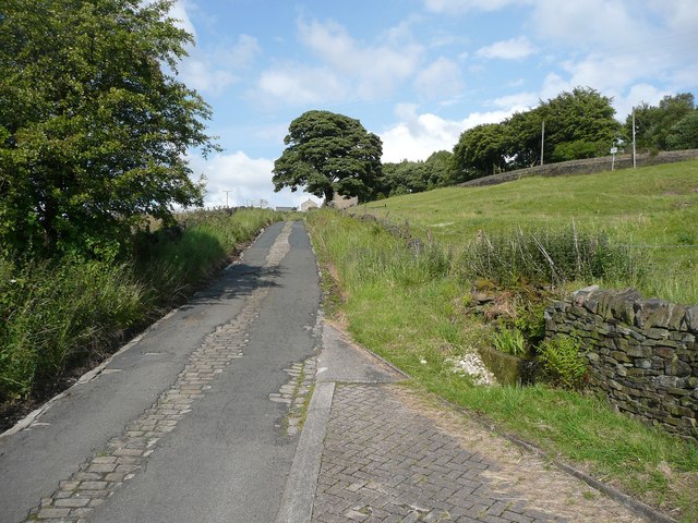
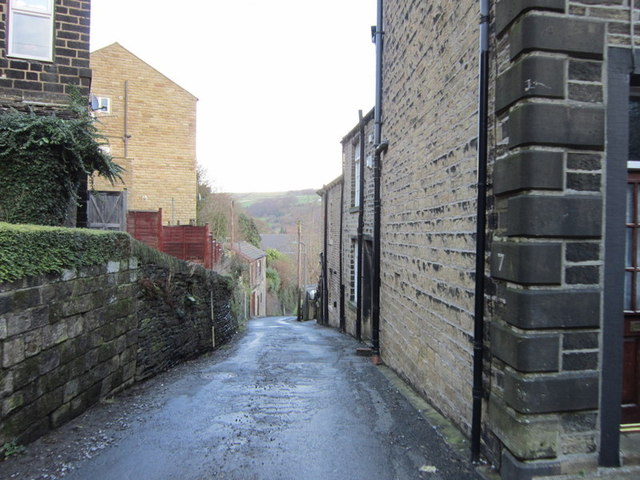
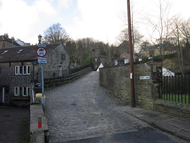
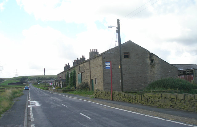
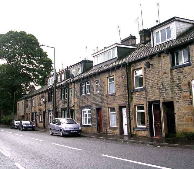
Longley is a small village located in the county of Yorkshire, England. Situated on the outskirts of Sheffield, it is nestled amidst lush green fields and rolling hills, offering residents and visitors a picturesque countryside setting. The village is known for its tranquility and charm, making it an ideal escape from the hustle and bustle of city life.
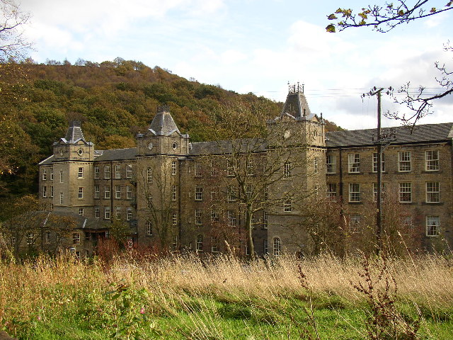
Longley boasts a rich history, with evidence of human settlement dating back to the Roman era. The village is home to several historic buildings, including St. Mary's Church, a beautiful medieval structure that stands as a testament to the village's heritage. The church's architecture and intricate stained glass windows attract history enthusiasts and tourists alike.
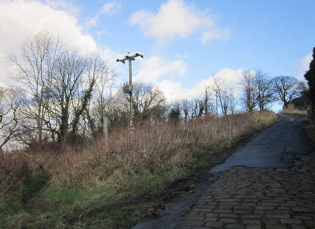
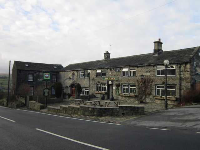
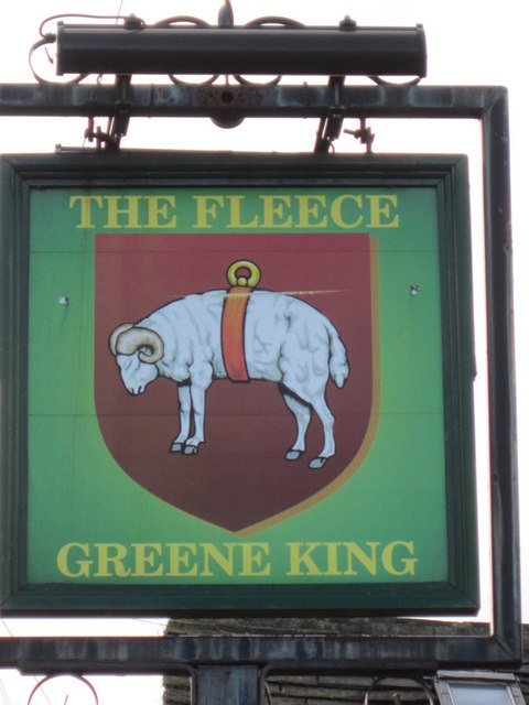
Despite its small size, Longley offers a range of amenities to its residents. A local pub serves as a hub for socializing and enjoying traditional British cuisine. The village also has a primary school, providing education to the young population. For outdoor enthusiasts, Longley offers ample opportunities for walking, hiking, and exploring the surrounding countryside.
Longley benefits from its proximity to Sheffield, a vibrant city with excellent transport links, shopping centers, and cultural attractions. Residents of Longley can easily access the city for work or leisure activities, while still enjoying the peace and tranquility of village life.
In conclusion, Longley, Yorkshire, is a picturesque village with a rich history and a close-knit community. Its idyllic countryside setting, historic buildings, and proximity to Sheffield make it an attractive place to live or visit for those seeking a blend of rural charm and urban convenience.
If you have any feedback on the listing, please let us know in the comments section below.
Longley Images
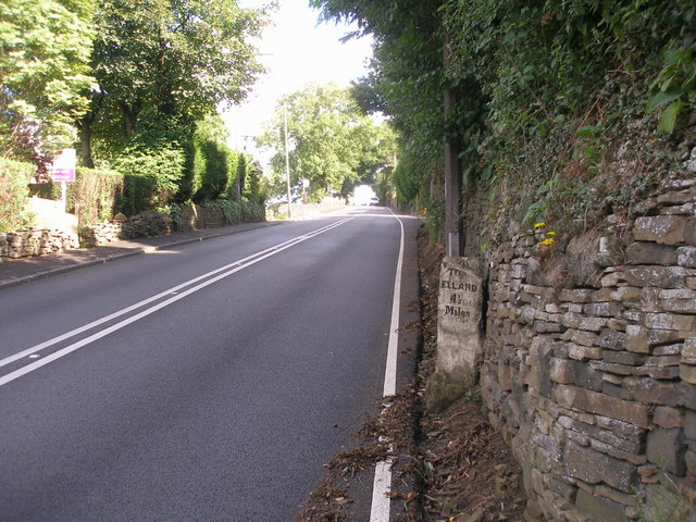
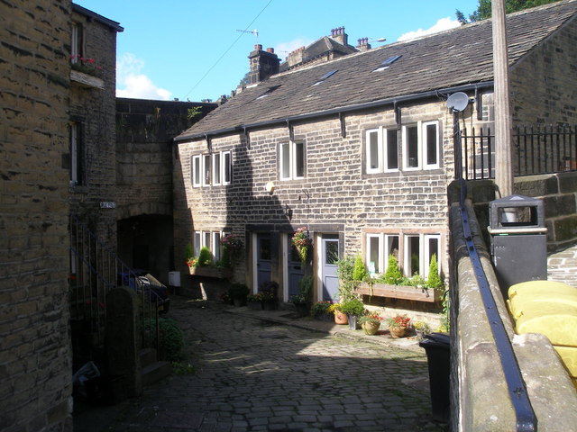
Images are sourced within 2km of 53.685433/-1.9257702 or Grid Reference SE0521. Thanks to Geograph Open Source API. All images are credited.

![The Parish Church of St Bartholomew Built 1868 in EE style with spire [Pevsner, 1967]](https://s3.geograph.org.uk/geophotos/02/77/40/2774039_354d1e56.jpg)

Longley is located at Grid Ref: SE0521 (Lat: 53.685433, Lng: -1.9257702)
Division: West Riding
Unitary Authority: Calderdale
Police Authority: West Yorkshire
What 3 Words
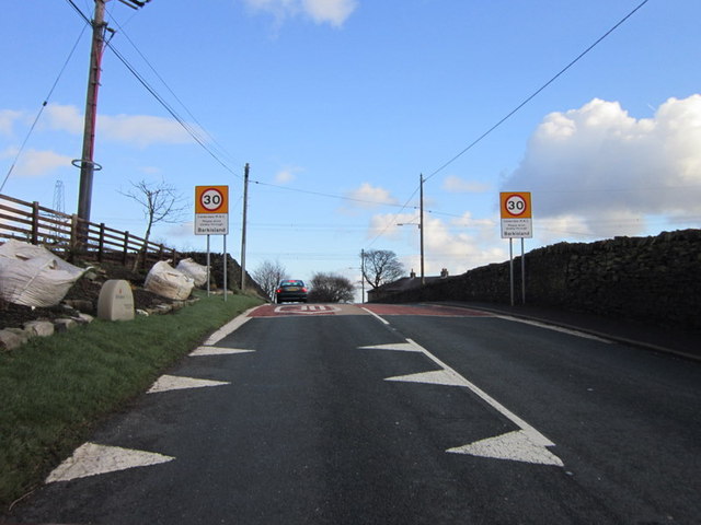
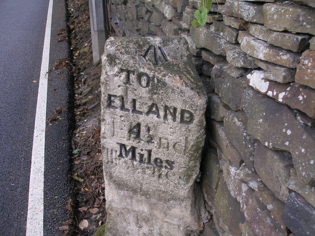
///detergent.manuals.hazelnuts. Near Barkisland, West Yorkshire
Nearby Locations
Related Wikis
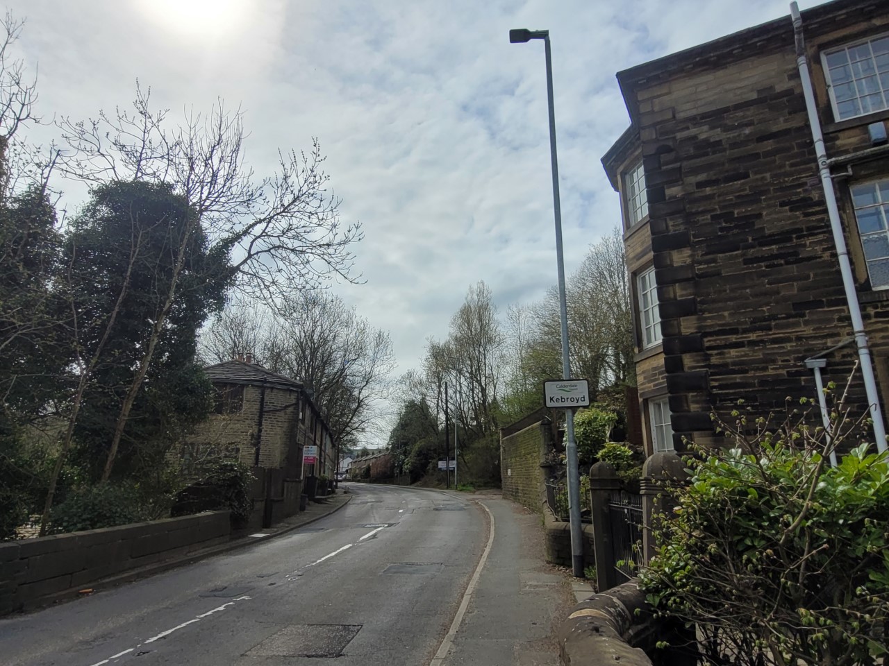
Kebroyd
Kebroyd is a small hamlet in the civil parish of Ripponden, in the Calderdale district, in West Yorkshire, England, within the valley of the River Ryburn...
Triangle, West Yorkshire
Triangle is a village in the Calderdale borough of West Yorkshire, England. It is located in the valley of the River Ryburn, on the A58 road over the South...
Barkisland
Barkisland () is a village in Calderdale, West Yorkshire, England. Historically part of the West Riding of Yorkshire, it is 1 mile (1.6 km) east of Ripponden...

Triangle railway station
Triangle railway station was a railway station near Triangle on the Rishworth branch built by the Lancashire & Yorkshire Railway. When open, services ran...
Nearby Amenities
Located within 500m of 53.685433,-1.9257702Have you been to Longley?
Leave your review of Longley below (or comments, questions and feedback).