Longley

Settlement in Yorkshire

England

Longley

View from Lady House Lane, Almondbury The Berry Brow primary and infants school can be seen in the distance, still in its 19C Huddersfield Board Elementary School buildings. In the middle, the houses are along Newsome Road South.
View from Lady House Lane, Almondbury Credit: Humphrey Bolton

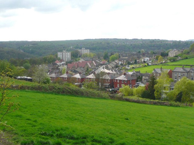
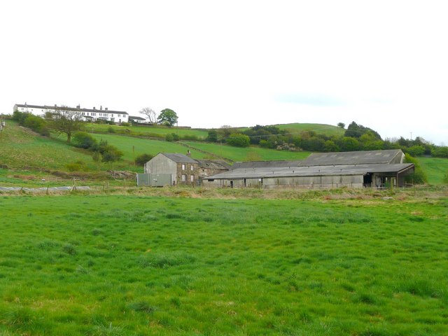
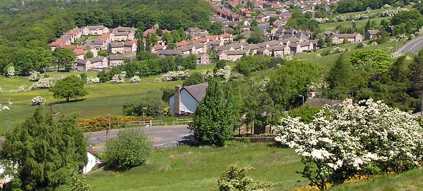
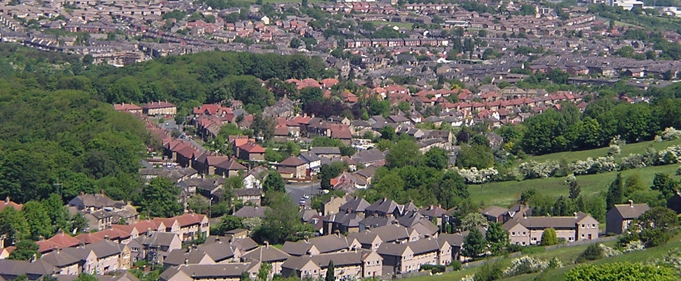
Longley is a small village located in the county of Yorkshire, England. Situated in the picturesque countryside, it is surrounded by rolling hills and lush green fields, providing a serene and tranquil setting for its residents. With a population of around 500 people, Longley offers a close-knit community atmosphere.

The village dates back centuries and has a rich history. It is characterized by its charming old buildings, many of which have been preserved and maintained over the years. The local church, St. Mary's, is a prominent feature of the village, showcasing stunning architecture and a peaceful graveyard.

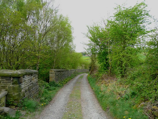
Longley is well-known for its stunning natural beauty, attracting outdoor enthusiasts and nature lovers. The village is nestled within easy reach of several walking and hiking trails, providing opportunities to explore the surrounding countryside. Nearby, there are also a number of parks and gardens, perfect for family outings or leisurely strolls.

Although small in size, Longley offers a range of amenities and services to its residents. The village has a local pub, The Longley Arms, where locals gather to socialize and enjoy traditional pub fare. Additionally, there is a small convenience store that provides essential groceries and household items.

Longley is conveniently located within a short distance from larger towns and cities, making it an ideal place for those seeking a peaceful rural lifestyle while still having access to urban amenities. Its idyllic setting, historic charm, and strong sense of community make Longley an attractive place to live for both locals and newcomers alike.

If you have any feedback on the listing, please let us know in the comments section below.

Longley Images

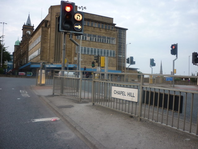
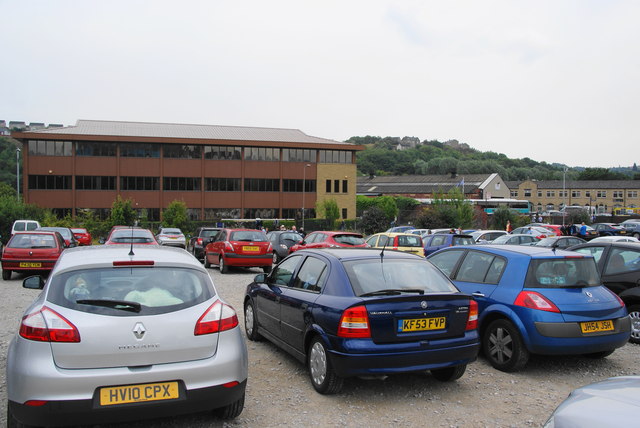
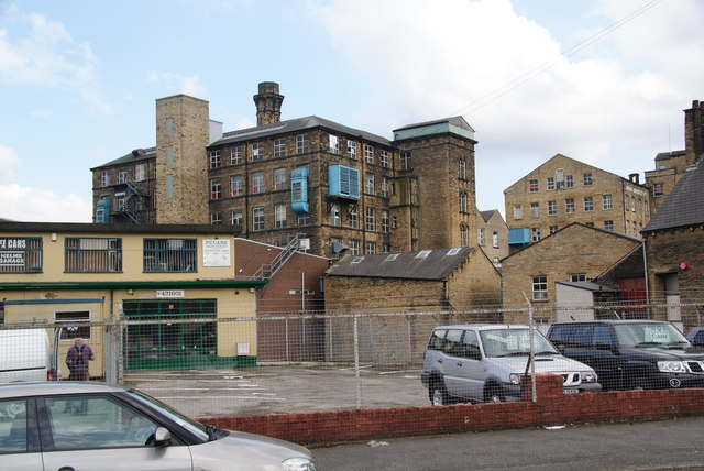
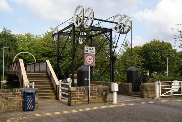
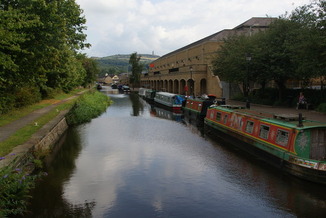
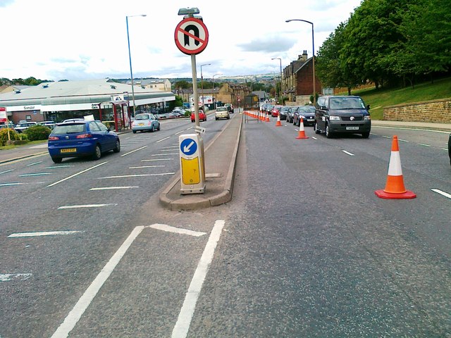
Images are sourced within 2km of 53.630843/-1.76618 or Grid Reference SE1514. Thanks to Geograph Open Source API. All images are credited.

View from Lady House Lane, Almondbury The Berry Brow primary and infants school can be seen in the distance, still in its 19C Huddersfield Board Elementary School buildings. In the middle, the houses are along Newsome Road South.
View from Lady House Lane, Almondbury
The Berry Brow primary and infants school can be seen in the distance, still in its 19C Huddersfield Board Elementary School buildings. In the middle, the houses are along Newsome Road South.
Cold Hill Lane, Almondbury The wall on the left surrounds an area that once contained a circular reservoir belonging to Huddersfield County Borough (maybe the structure is still in there).
Cold Hill Lane, Almondbury
The wall on the left surrounds an area that once contained a circular reservoir belonging to Huddersfield County Borough (maybe the structure is still in there).
Stirley Farm, Almondbury This farm looks disused, or at least the house is boarded up.
Stirley Farm, Almondbury
This farm looks disused, or at least the house is boarded up.
Direction indicator on Jubilee Tower Taken on one of the occasions when the tower was open to the public.
Direction indicator on Jubilee Tower
Taken on one of the occasions when the tower was open to the public.
Castle Hill car park Taken from the top of Jubilee Tower when it was open to the public.
Castle Hill car park
Taken from the top of Jubilee Tower when it was open to the public.
Huddersfield Narrow Canal from Manchester Road Seen from the A62. This is where the canal emerges from a long tunnel under what was the works of Sellers Engineers. The company was to move to new premises in the spring of 2011 and a major waterfront redevelopment is to occur. This may see the canal re-exposed. Somebody please photograph this if it happens!

The canal was re-exposed and has been photographed - <a href="https://www.geograph.org.uk/photo/3683200">SE1416 : New length of canal beside Kirklees College</a>.
Huddersfield Narrow Canal from Manchester Road
Seen from the A62. This is where the canal emerges from a long tunnel under what was the works of Sellers Engineers. The company was to move to new premises in the spring of 2011 and a major waterfront redevelopment is to occur. This may see the canal re-exposed. Somebody please photograph this if it happens! The canal was re-exposed and has been photographed - SE1416 : New length of canal beside Kirklees College.
Huddersfield Narrow Canal The canal is behind the fence and is entering a tunnel under Sellers Engineers. Sellers is a firm of specialist textile engineers and was founded in 1912. In spring 2011 it was due to move to new premises and the site was to be part of a £150 million waterfront redevelopment. The white tower is a water tower associated with water company offices and a nuclear bunker (so I've been told).
Huddersfield Narrow Canal
The canal is behind the fence and is entering a tunnel under Sellers Engineers. Sellers is a firm of specialist textile engineers and was founded in 1912. In spring 2011 it was due to move to new premises and the site was to be part of a £150 million waterfront redevelopment. The white tower is a water tower associated with water company offices and a nuclear bunker (so I've been told).
Queen Street South This bridge carries Queen Street South over the Huddersfield Narrow Canal. the canal proceeds in a tunnel under Fairfield Mills which are seen in the centre of the picture.
Queen Street South
This bridge carries Queen Street South over the Huddersfield Narrow Canal. the canal proceeds in a tunnel under Fairfield Mills which are seen in the centre of the picture.
Huddersfield Narrow Canal behind Firth Street The restored canal with evidence of some serious modern civil engineering. The mill in the distance has been reused by Huddersfield University (an ex-polytechnic).
Huddersfield Narrow Canal behind Firth Street
The restored canal with evidence of some serious modern civil engineering. The mill in the distance has been reused by Huddersfield University (an ex-polytechnic).
Converted warehouse, Aspley This former warehouse and preserved crane are alongside the restored Huddersfield Narrow Canal. The bridge in the background carries a main road out of Huddersfield and its reinstatement was a major piece of enabling work. Beyond it is the Aspley Basin which is also the start of the Broad Canal (Sir John Ramsden's Canal).
Converted warehouse, Aspley
This former warehouse and preserved crane are alongside the restored Huddersfield Narrow Canal. The bridge in the background carries a main road out of Huddersfield and its reinstatement was a major piece of enabling work. Beyond it is the Aspley Basin which is also the start of the Broad Canal (Sir John Ramsden's Canal).
Entering Lockwood
Entering Lockwood
The junction of Chapel Hill with Queensgate
Matchday parking off St Andrew's Road This is an official pay-and-display car park.
Matchday parking off St Andrew's Road
This is an official pay-and-display car park.
Mills on Quay Street Viewed from Old Leeds Road.
Mills on Quay Street
Viewed from Old Leeds Road.
Pulley bridge on the Huddersfield Broad Canal This is where Quay Street crosses the canal.
Pulley bridge on the Huddersfield Broad Canal
This is where Quay Street crosses the canal.
The Huddersfield Broad Canal Viewed from the Quay Street bridge, past the Sainsbury's superstore. In the distance is Castle Hill which provides a good viewpoint over the town.
The Huddersfield Broad Canal
Viewed from the Quay Street bridge, past the Sainsbury's superstore. In the distance is Castle Hill which provides a good viewpoint over the town.
Wakefield Road, Huddersfield
Old Wakefield Road, Mouldgreen
Show me another place!

Longley is located at Grid Ref: SE1514 (Lat: 53.630843, Lng: -1.76618)

Division: West Riding

Unitary Authority: Kirklees

Police Authority: West Yorkshire

What 3 Words

///copy.number.snap. Near Huddersfield, West Yorkshire

Related Wikis

Longley, Huddersfield

Longley is a small district in Huddersfield, West Yorkshire, England between Newsome and Lowerhouses. The area is mainly made up of woodland and a 9-hole...

Lowerhouses

Lowerhouses is a residential district in the town of Huddersfield, Kirklees, West Yorkshire, England. Lowerhouses is a residential district situated in...

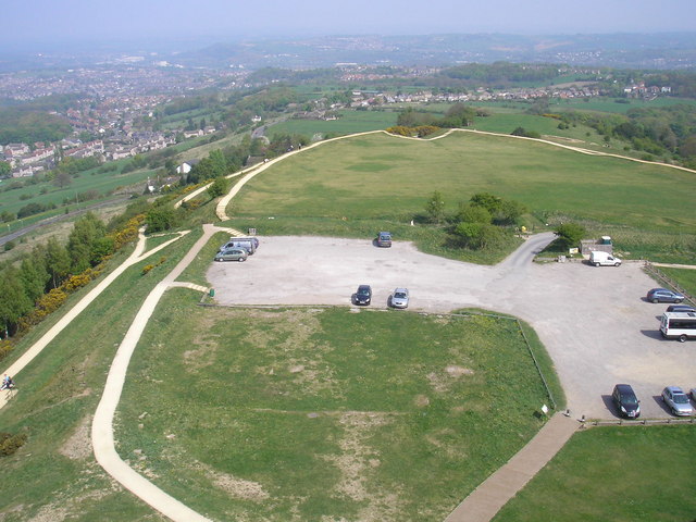
Castle Hill, Huddersfield

Castle Hill is a scheduled ancient monument in Almondbury overlooking Huddersfield in the Metropolitan Borough of Kirklees, West Yorkshire, England. The...

Almondbury

Almondbury (English: ) is a village 2 miles (3.2 km) south-east of Huddersfield town centre in West Yorkshire, England. The population of Almondbury in...

Nearby Amenities

Located within 500m of 53.630843,-1.76618
Bus Stop
Longley Road Mason Arms PH
Bench: no
Bin: no
Lit: yes
Local Ref: 45018726
Naptan AtcoCode: 450018726
Naptan Bearing: E
Naptan CommonName: Longley Road Mason Arms PH
Naptan Crossing: Hall Cross Road
Naptan Indicator: Stop 45018726
Naptan Landmark: Masons Arms PH
Naptan PlusbusZoneRef: LEEDS
Naptan ShortCommonName: Hall Cross Road
Naptan Street: Longley Road
Naptan Verified: no
Shelter: no
Source: naptan_import
Tactile Paving: no
Lat/Long: 53.6352886/-1.7667767
Bus Stop
Longley Road Hall Cross Road
Bench: no
Bin: no
Lit: yes
Local Ref: 45018727
Naptan AtcoCode: 450018727
Naptan Bearing: W
Naptan CommonName: Longley Road Hall Cross Road
Naptan Crossing: Hall Cross Road
Naptan Indicator: Stop 45018727
Naptan Landmark: Masons Arms PH
Naptan PlusbusZoneRef: LEEDS
Naptan ShortCommonName: Hall Cross Road
Naptan Street: Longley Road
Naptan Verified: no
Shelter: no
Source: naptan_import
Tactile Paving: no
Lat/Long: 53.6352166/-1.7667166
Bus Stop
Kaye Lane Wheatroyd Lane
Local Ref: 45021117
Naptan AtcoCode: 450021117
Naptan Bearing: E
Naptan CommonName: Kaye Lane Wheatroyd Lane
Naptan Crossing: Wheatroyd Lane
Naptan Indicator: Stop 45021117
Naptan PlusbusZoneRef: LEEDS
Naptan ShortCommonName: Cricket Ground
Naptan Street: Kaye Lane
Naptan Verified: no
Source: naptan_import
Lat/Long: 53.6291076/-1.7592349
Bus Stop
Kaye Lane Longley Lane
Lit: yes
Local Ref: 45021118
Naptan AtcoCode: 450021118
Naptan Bearing: W
Naptan CommonName: Kaye Lane Longley Lane
Naptan Crossing: Longley Lane
Naptan Indicator: Stop 45021118
Naptan PlusbusZoneRef: LEEDS
Naptan ShortCommonName: Longley Lane
Naptan Street: Kaye Lane
Naptan Verified: no
Source: naptan_import
Lat/Long: 53.6285517/-1.7644549
Bus Stop
Ashes Lane Longley Lane
Local Ref: 45021119
Naptan AtcoCode: 450021119
Naptan Bearing: NE
Naptan CommonName: Ashes Lane Longley Lane
Naptan Crossing: Longley Lane
Naptan Indicator: Stop 45021119
Naptan PlusbusZoneRef: LEEDS
Naptan ShortCommonName: Longley Lane
Naptan Street: Ashes Lane
Naptan Verified: no
Source: naptan_import
Lat/Long: 53.6285981/-1.7651956
Bus Stop
Wood Lane Ashenhurst Avenue
Bench: no
Bin: no
Local Ref: 45022405
Naptan AtcoCode: 450022405
Naptan Bearing: SE
Naptan CommonName: Wood Lane Ashenhurst Avenue
Naptan Crossing: Ashenhurst Avenue
Naptan Indicator: Stop 45022405
Naptan PlusbusZoneRef: LEEDS
Naptan ShortCommonName: Ashenhurst
Naptan Street: Wood Lane
Naptan Verified: no
Shelter: no
Source: naptan_import
Lat/Long: 53.6328957/-1.7703741
Bus Stop
Fanny Moor Lane Wood Lane
Bench: no
Bin: yes
Lit: yes
Local Ref: 45022408
Naptan AtcoCode: 450022408
Naptan Bearing: N
Naptan CommonName: Fanny Moor Lane Wood Lane
Naptan Crossing: Wood Lane
Naptan Indicator: Stop 45022408
Naptan Notes: Advert panels fitted 040907
Naptan PlusbusZoneRef: LEEDS
Naptan ShortCommonName: Fanny Moor Lane
Naptan Street: Fanny Moor Lane
Naptan Verified: no
Shelter: yes
Source: naptan_import
Tactile Paving: no
Lat/Long: 53.6310034/-1.7679648
Bus Stop
Hall Cross Road Lowerhouses Lane
Bench: no
Bin: no
Lit: yes
Local Ref: 45022409
Naptan AtcoCode: 450022409
Naptan Bearing: N
Naptan CommonName: Hall Cross Road Lowerhouses Lane
Naptan Crossing: Lowerhouses Lane
Naptan Indicator: Stop 45022409
Naptan PlusbusZoneRef: LEEDS
Naptan ShortCommonName: Lowerhouses Lane
Naptan Street: Hall Cross Road
Naptan Verified: no
Shelter: no
Source: naptan_import
Tactile Paving: no
Lat/Long: 53.6323238/-1.7674585
Bus Stop
Fanny Moor Lane Longley Lane
Bench: no
Bin: yes
Lit: yes
Local Ref: 45026871
Naptan AtcoCode: 450026871
Naptan Bearing: SW
Naptan CommonName: Fanny Moor Lane Longley Lane
Naptan Crossing: Longley Lane
Naptan Indicator: Stop 45026871
Naptan PlusbusZoneRef: LEEDS
Naptan ShortCommonName: Longley Lane
Naptan Street: Fanny Moor Lane
Naptan Verified: no
Shelter: yes
Source: naptan_import
Tactile Paving: no
Lat/Long: 53.6306356/-1.7683297
Hall Cross Road
Local Ref: 45051395
Naptan AtcoCode: 450051395
Naptan Bearing: N
Naptan BusStopType: CUS
Naptan CommonName: Hall Cross Road
Naptan Indicator: Stop 45051395
Naptan PlusbusZoneRef: LEEDS
Naptan ShortCommonName: Hall Cross Grove
Naptan Street: Hall Cross Road
Naptan Verified: no
Source: naptan_import
Lat/Long: 53.6340496/-1.7674641
Longley
Is In: Huddersfield
Is In Country: UK
Is In County: West Yorkshire
Is In District: Kirklees
Is In Town: Huddersfield
Place: suburb
Lat/Long: 53.6316401/-1.7676543
Turning Circle
Lat/Long: 53.6341889/-1.7642402
Lowerhouses
Is In: Longley
Is In Country: UK
Is In County: West Yorkshire
Is In District: Kirklees
Is In Town: Huddersfield
Place: locality
Lat/Long: 53.6348197/-1.764793
Turning Circle
Lat/Long: 53.6348534/-1.767936
Leisure: picnic_table
Lat/Long: 53.6290144/-1.7709114
Barrier: stile
Lat/Long: 53.6290909/-1.7709999
Turning Circle
Lat/Long: 53.6340795/-1.7664357
Post Box
Collection Times: Mo-Fr 09:00, Sa 07:00
Operator: Royal Mail
Ref: HD5 346D
Royal Cypher: GR
Royal Cypher Wikidata: Q33102273
Lat/Long: 53.6321558/-1.766971
Barrier: stile
Foot: yes
Lat/Long: 53.6271195/-1.769858
Hey Green
Check Date: 2024-03-04
Hiking: yes
Information: map
Tourism: information
Lat/Long: 53.6326551/-1.7654874
Place Of Worship
Longley and Lowerhouses Community Church
Check Date: 2023-10-14
Denomination: baptist
Religion: christian
Source: survey
Lat/Long: 53.6326246/-1.7665046
Bench
Backrest: yes
Check Date: 2023-10-14
Material: metal
Seats: 4
Source: survey
Lat/Long: 53.6310365/-1.7654359
Bench
Backrest: yes
Material: metal
Seats: 4
Source: survey
Lat/Long: 53.6320443/-1.7634659
Turning Circle
Lat/Long: 53.629535/-1.7687467
Leisure: playground
Lat/Long: 53.6297664/-1.7685495
Longley Hill
Place: locality
Lat/Long: 53.6298905/-1.764539
Hey Farm
Building: yes
Lat/Long: 53.6332924/-1.7633477
Access: yes
Leisure: playground
Source: survey
Lat/Long: 53.628525/-1.7706824
Leisure: picnic_table
Source: survey
Lat/Long: 53.6289758/-1.770948
Generator Method: photovoltaic
Generator Output Electricity: yes
Generator Source: solar
Generator Type: solar_photovoltaic_panel
Power: generator
Lat/Long: 53.631905/-1.767101
Generator Method: photovoltaic
Generator Output Electricity: yes
Generator Source: solar
Generator Type: solar_photovoltaic_panel
Power: generator
Lat/Long: 53.6318518/-1.7668541
Barrier: kissing_gate
Lat/Long: 53.6267053/-1.764467
The data included in this document is from www.openstreetmap.org. The data is made available under ODbL.

Have you been to Longley?

Leave your review of Longley below (or comments, questions and feedback).