Lower Castle Hill
Hill, Mountain in Yorkshire
England
Lower Castle Hill

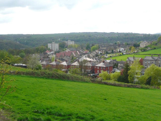
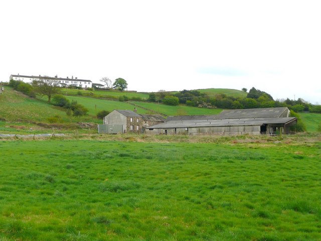
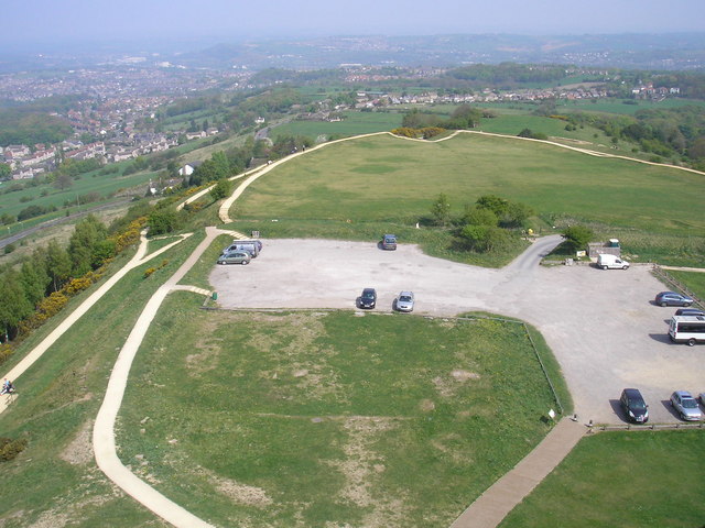
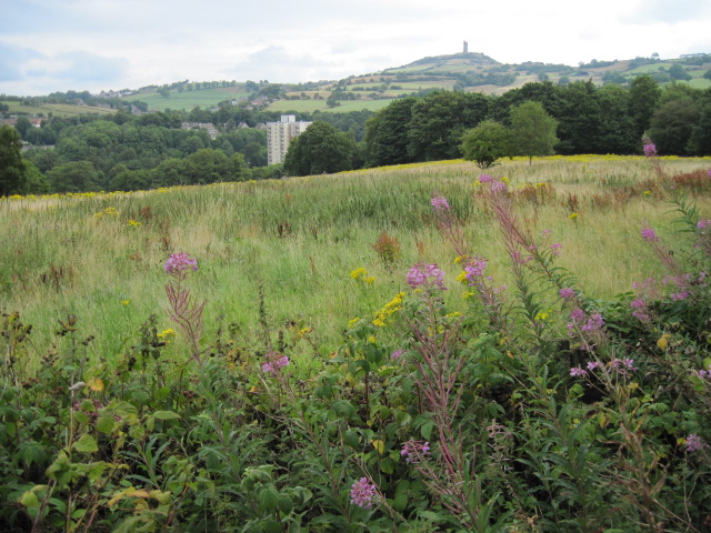
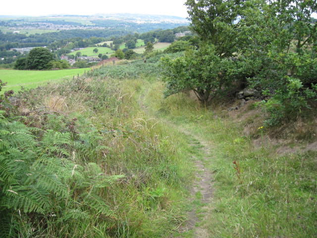
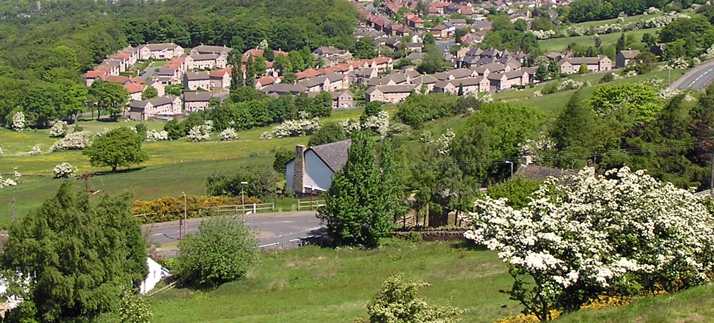
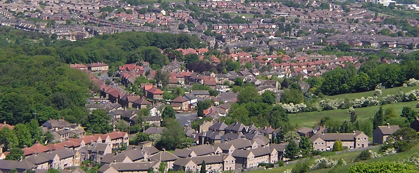
Lower Castle Hill is a prominent hill located in Yorkshire, England. It is part of the larger Castle Hill area and is known for its beautiful landscapes and historical significance. Rising to an elevation of approximately 900 feet, Lower Castle Hill offers stunning panoramic views of the surrounding countryside.
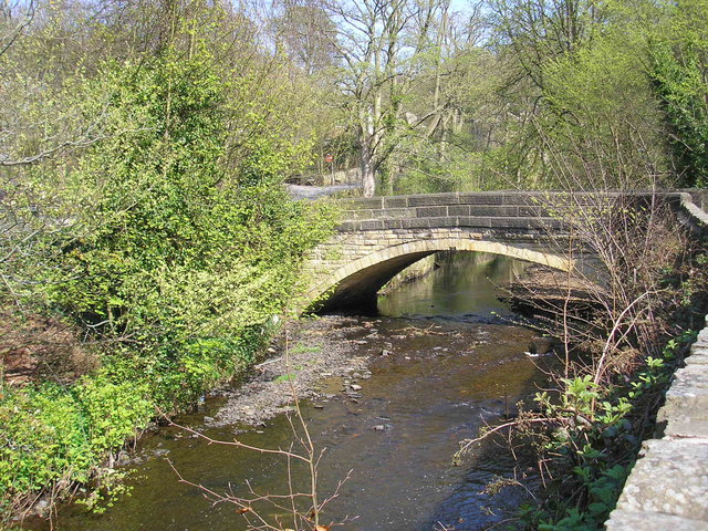
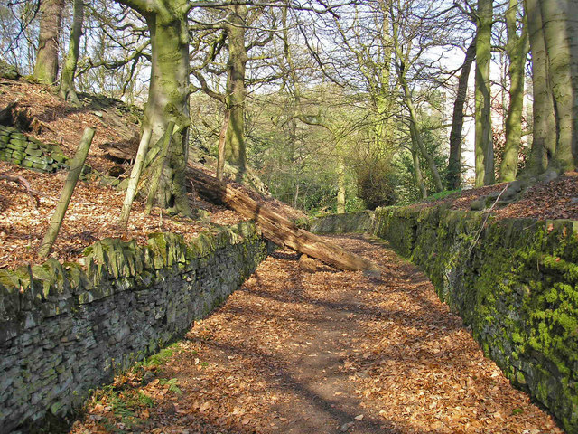
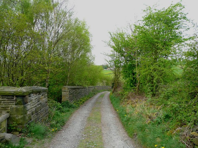
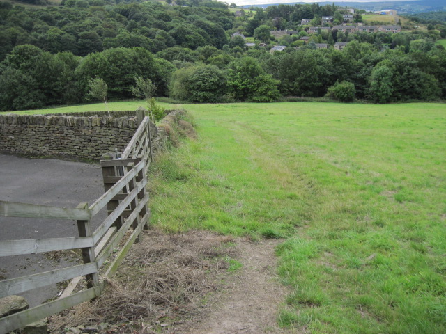
The hill is characterized by its gently sloping sides and lush greenery, making it a popular destination for nature lovers and hikers. The well-maintained footpaths and trails provide easy access to the top, where visitors can enjoy breathtaking vistas of rolling hills, meandering rivers, and picturesque villages.
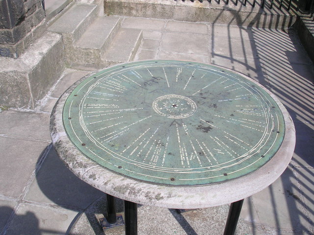
Lower Castle Hill also holds historical importance, dating back to prehistoric times. The area is home to an Iron Age hillfort, which once served as a defensive structure for the local community. The remains of ancient ramparts and ditches can still be seen today, adding to the hill's allure.
Furthermore, the hill is dotted with evidence of human habitation throughout the ages, including ruins of medieval castles and other structures. These remnants serve as a reminder of the region's rich history and cultural heritage.
In addition to its natural and historical significance, Lower Castle Hill offers a wide range of recreational activities for visitors. These include picnicking, birdwatching, and even paragliding for the more adventurous. The hill attracts a diverse range of wildlife, including various bird species and small mammals, making it a haven for nature enthusiasts.
Overall, Lower Castle Hill is a captivating destination that combines natural beauty, historical intrigue, and recreational opportunities, making it a must-visit location for both locals and tourists alike.
If you have any feedback on the listing, please let us know in the comments section below.
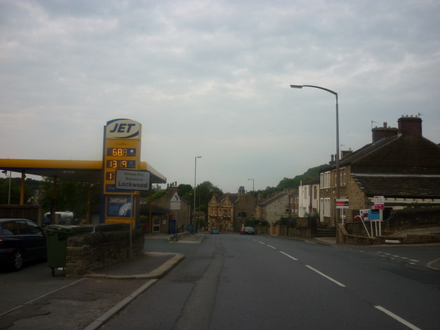
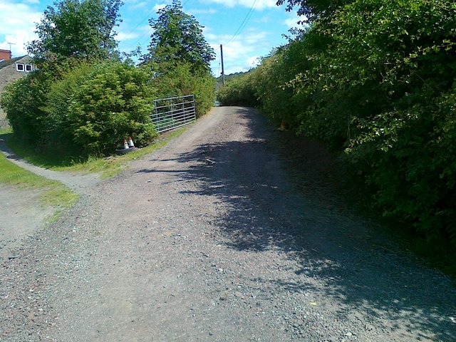
Lower Castle Hill Images
Images are sourced within 2km of 53.622677/-1.7700655 or Grid Reference SE1514. Thanks to Geograph Open Source API. All images are credited.


Lower Castle Hill is located at Grid Ref: SE1514 (Lat: 53.622677, Lng: -1.7700655)
Division: West Riding
Unitary Authority: Kirklees
Police Authority: West Yorkshire
What 3 Words
///noise.magma.detail. Near Huddersfield, West Yorkshire
Nearby Locations
Related Wikis

Castle Hill, Huddersfield
Castle Hill is a scheduled ancient monument in Almondbury overlooking Huddersfield in the Metropolitan Borough of Kirklees, West Yorkshire, England. The...
Hall Bower
Hall Bower is a small hamlet lying 2 miles (3.5 km) south of Huddersfield, West Yorkshire, England.It sits in the shadow of Castle Hill, just above the...

Berry Brow
Berry Brow is a semi-rural village in West Yorkshire, England, situated about 2 miles (3 km) south of Huddersfield. It lies on the eastern bank of the...
Longley, Huddersfield
Longley is a small district in Huddersfield, West Yorkshire, England between Newsome and Lowerhouses. The area is mainly made up of woodland and a 9-hole...

Newsome
Newsome is a village situated approximately 1 mile south of Huddersfield, West Yorkshire, England. It is in the Metropolitan Borough of Kirklees. The village...
Lowerhouses
Lowerhouses is a residential district in the town of Huddersfield, Kirklees, West Yorkshire, England. Lowerhouses is a residential district situated in...
Newsome Academy
Newsome Academy (formerly Newsome High School and Newsome High School & Sports College) is a co-educational secondary school located in Newsome (near Huddersfield...
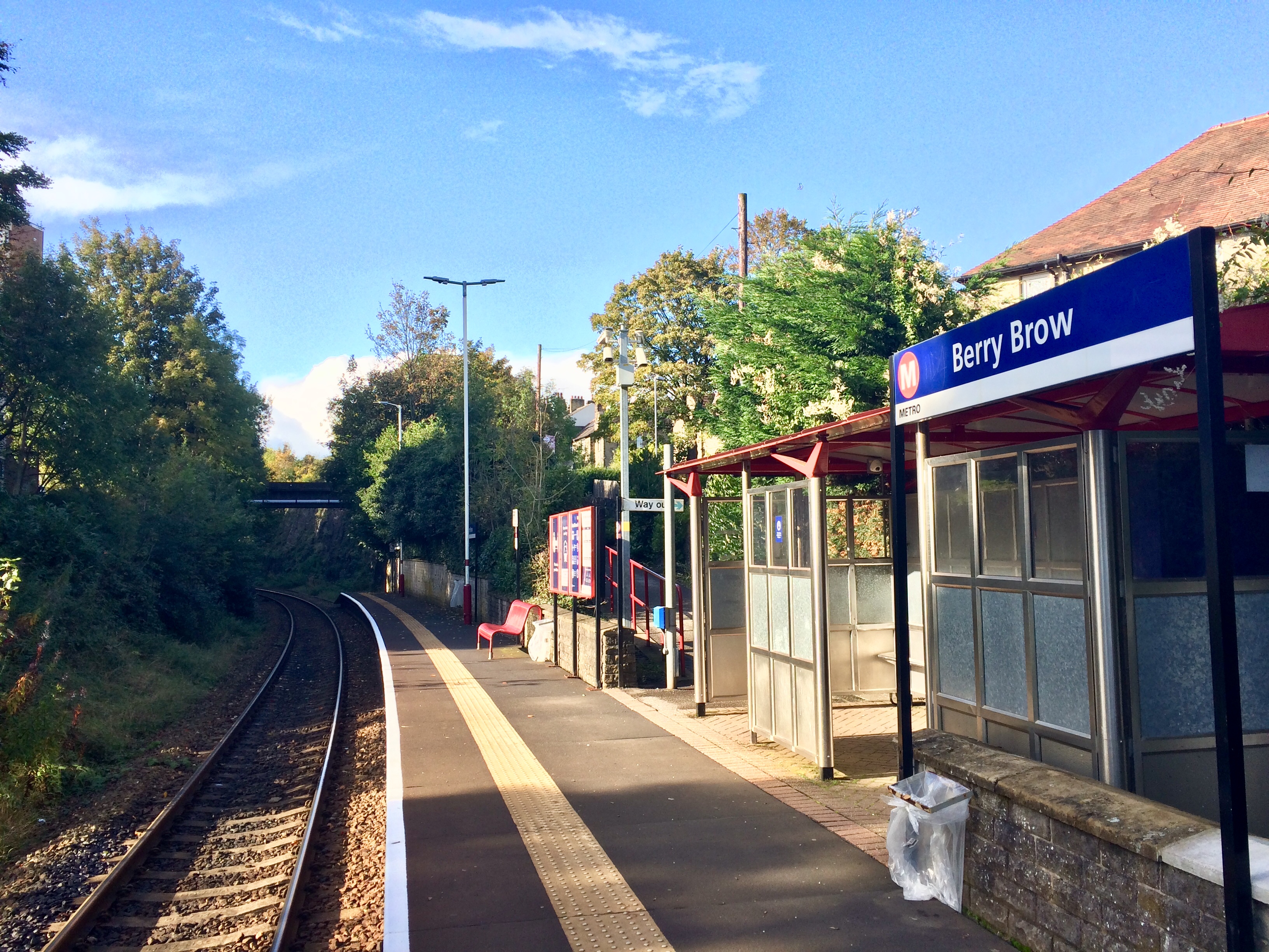
Berry Brow railway station
Berry Brow railway station serves the Huddersfield suburban villages of Berry Brow, Taylor Hill, Armitage Bridge and Newsome in the metropolitan borough...
Nearby Amenities
Located within 500m of 53.622677,-1.7700655Have you been to Lower Castle Hill?
Leave your review of Lower Castle Hill below (or comments, questions and feedback).