Norland Moor
Hill, Mountain in Yorkshire
England
Norland Moor
Norland Moor is a picturesque hill located in Yorkshire, England. Situated near the village of Norland, it forms a part of the Pennine Hills, a range known for its stunning landscapes and natural beauty. Rising to an elevation of approximately 335 meters (1,099 feet), Norland Moor offers breathtaking panoramic views of the surrounding countryside.
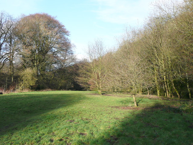
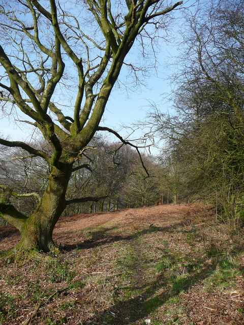
Covered predominantly in heather and grass, the moorland is a haven for wildlife and a popular destination for nature enthusiasts. The heather blooms in vibrant shades of purple during the summer months, creating a stunning contrast against the green grass and blue sky. This beautiful landscape attracts a variety of bird species, including skylarks, lapwings, and kestrels, making it a haven for birdwatchers.
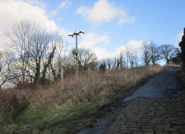
The Moor is crisscrossed by a network of footpaths and bridleways, allowing visitors to explore its diverse terrain. It also boasts ancient stone walls, remnants of its agricultural past, adding to its charm and historical significance. The paths lead to several viewpoints, providing stunning vistas of the Calder Valley and the nearby towns of Halifax and Huddersfield.
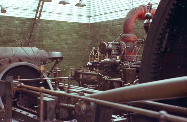
Norland Moor is not only a natural treasure but also a cultural heritage site. It holds great historical importance due to its association with the Industrial Revolution. The moorland was once a mining area, and remnants of disused mines can still be found scattered throughout the landscape.
Overall, Norland Moor is a must-visit destination for those seeking tranquility, natural beauty, and a glimpse into Yorkshire's rich history. Its stunning vistas, diverse flora and fauna, and historical significance make it a true gem of the Pennine Hills.
If you have any feedback on the listing, please let us know in the comments section below.
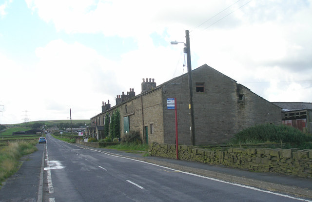
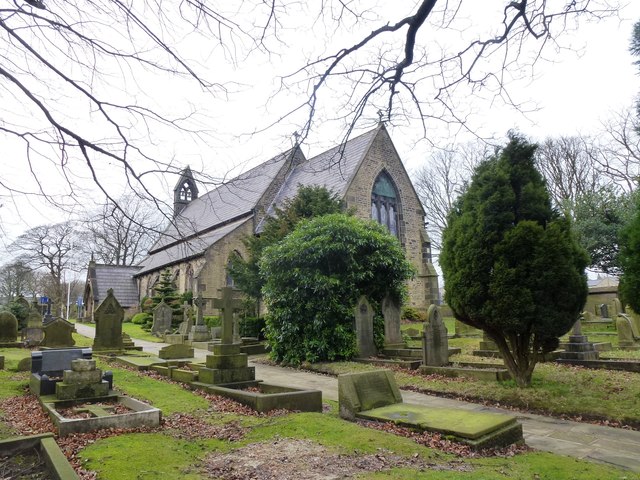
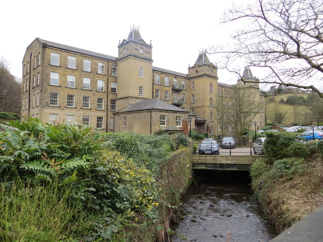
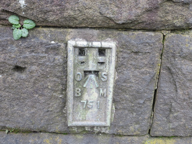
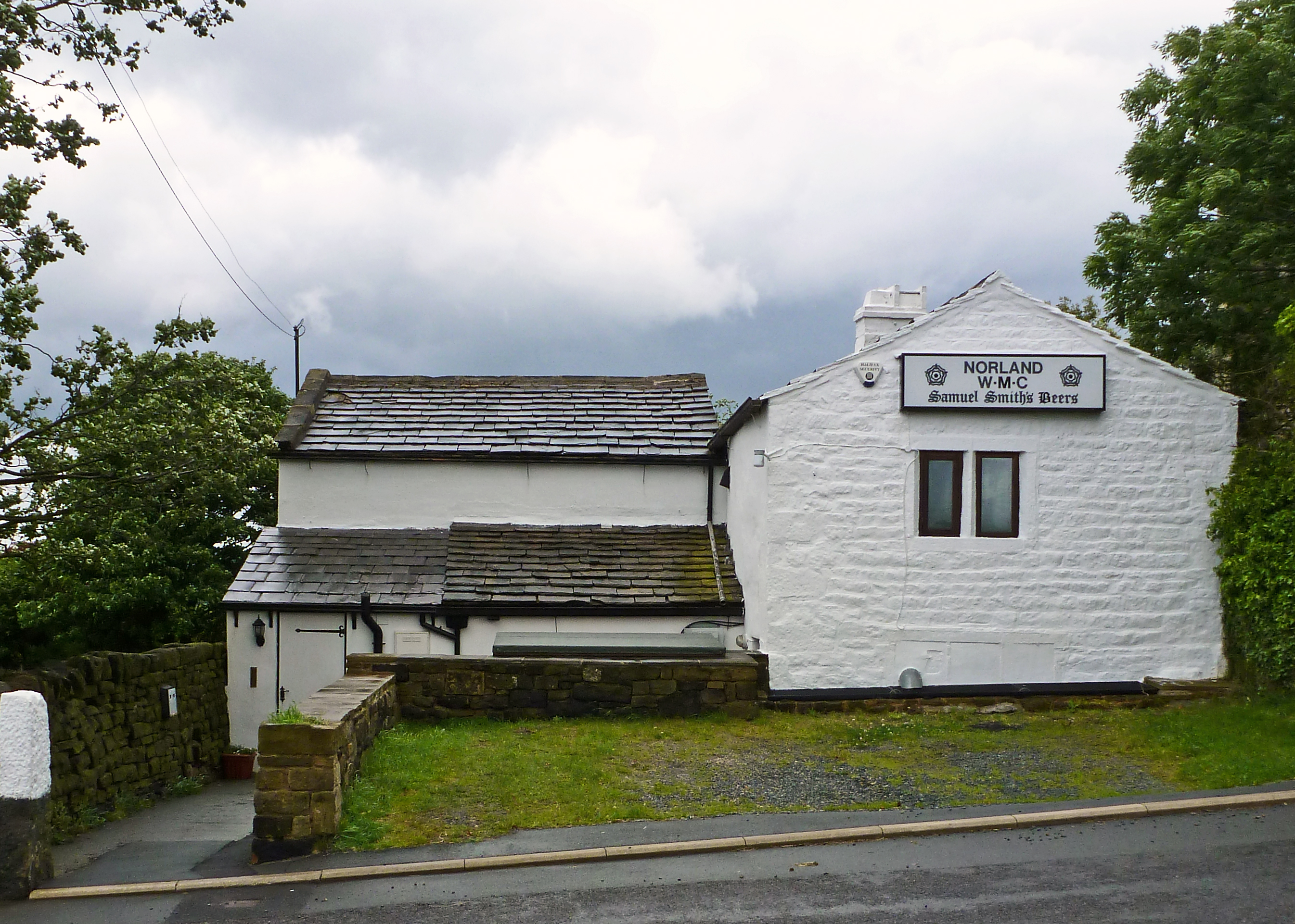
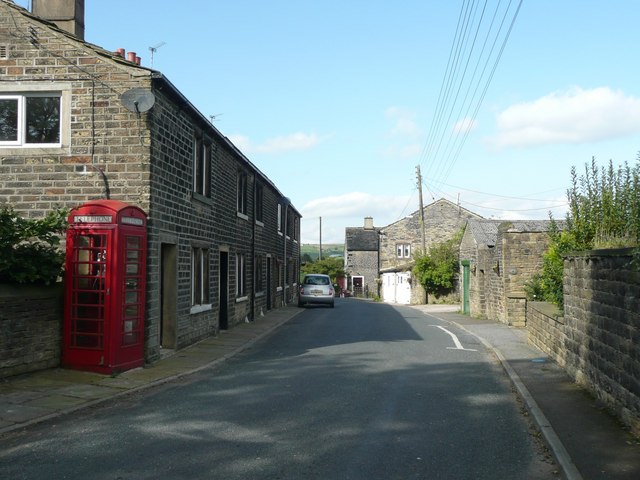
Norland Moor Images
Images are sourced within 2km of 53.689364/-1.9182829 or Grid Reference SE0521. Thanks to Geograph Open Source API. All images are credited.


Norland Moor is located at Grid Ref: SE0521 (Lat: 53.689364, Lng: -1.9182829)
Division: West Riding
Unitary Authority: Calderdale
Police Authority: West Yorkshire
What 3 Words
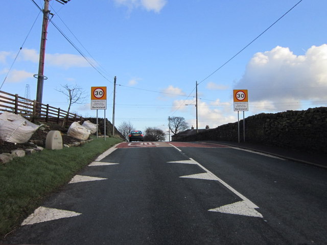
///happening.perkily.entertainer. Near Barkisland, West Yorkshire
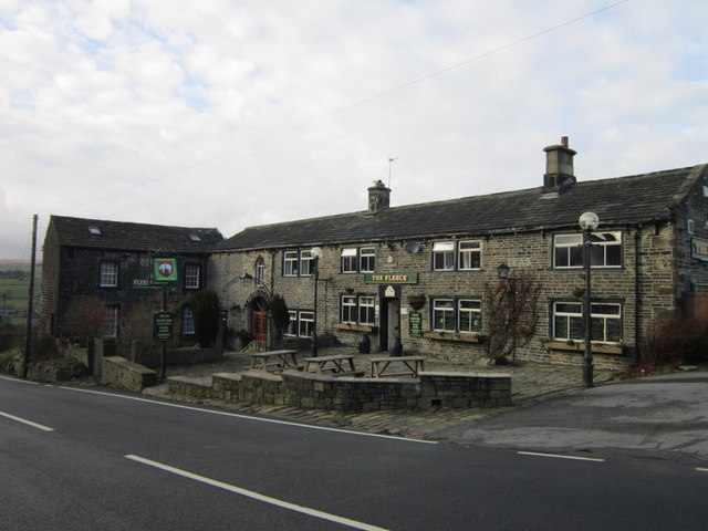
Nearby Locations
Related Wikis

Triangle railway station
Triangle railway station was a railway station near Triangle on the Rishworth branch built by the Lancashire & Yorkshire Railway. When open, services ran...
Triangle, West Yorkshire
Triangle is a village in the Calderdale borough of West Yorkshire, England. It is located in the valley of the River Ryburn, on the A58 road over the South...
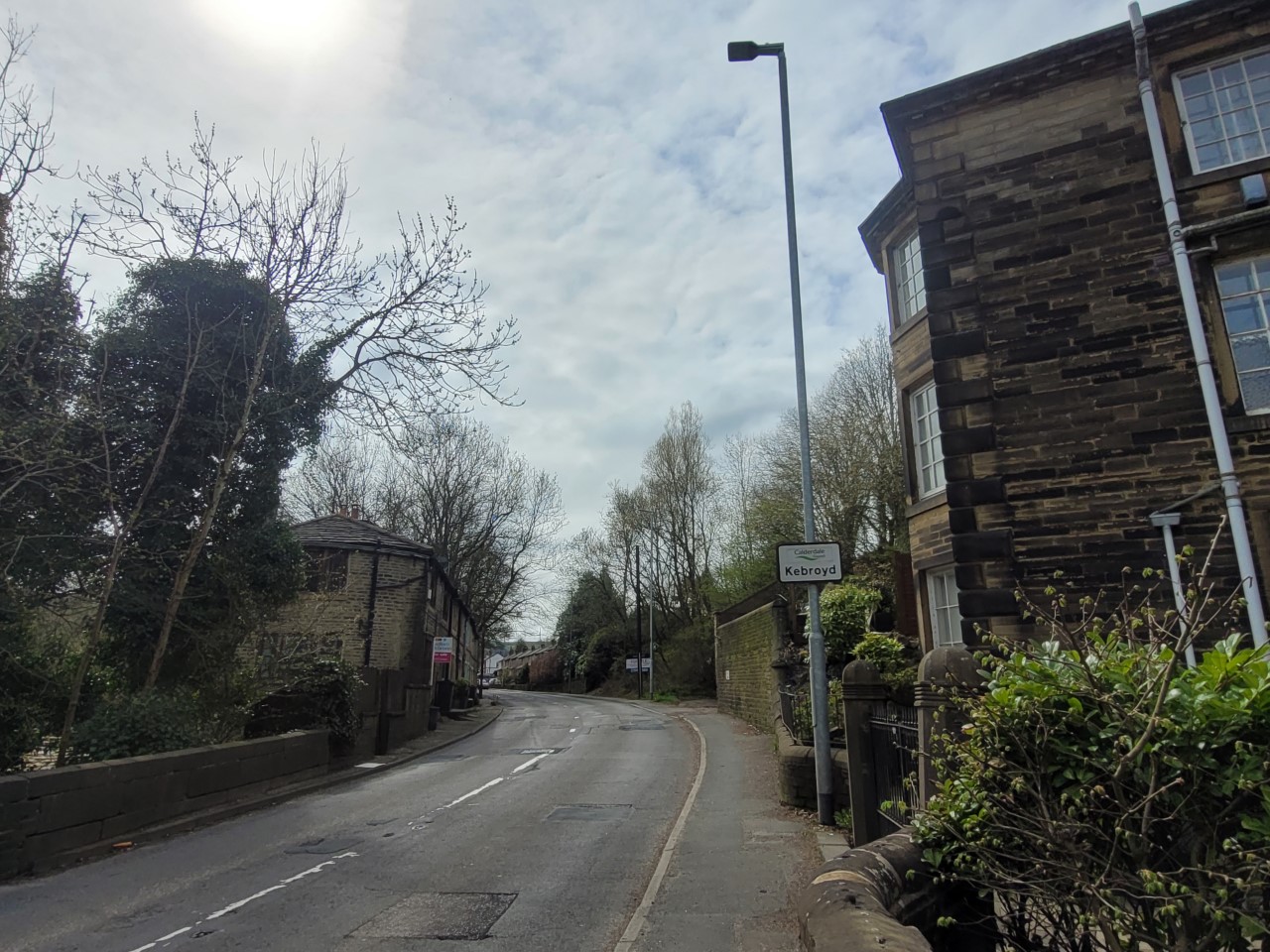
Kebroyd
Kebroyd is a small hamlet in the civil parish of Ripponden, in the Calderdale district, in West Yorkshire, England, within the valley of the River Ryburn...
Barkisland
Barkisland () is a village in Calderdale, West Yorkshire, England. Historically part of the West Riding of Yorkshire, it is 1 mile (1.6 km) east of Ripponden...

Watson's Crossing Halt railway station
Watson's Crossing Halt was a halt on the Rishworth branch, in West Yorkshire, England built by the Lancashire & Yorkshire Railway. It was located just...
Norland, West Yorkshire
Norland is a dispersed village south of Sowerby Bridge in the metropolitan borough of Calderdale in West Yorkshire, England. == History == Historically...

Ryburn Valley High School
Ryburn Valley High School is a secondary school and sixth form located in the town of Sowerby Bridge, West Yorkshire, England. Originally built in the...
Soyland
Soyland is a village in Calderdale, West Yorkshire, England. It is just north of Ripponden off the A58 road and is 5 miles (8 km) south west of Halifax...
Nearby Amenities
Located within 500m of 53.689364,-1.9182829Have you been to Norland Moor?
Leave your review of Norland Moor below (or comments, questions and feedback).