Bellows
Coastal Feature, Headland, Point in Cornwall
England
Bellows

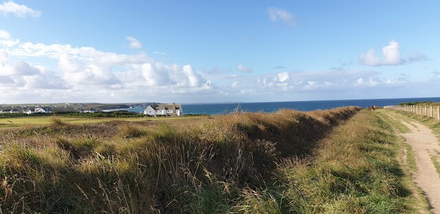
Bellows is a picturesque headland located in Cornwall, a county in southwestern England. Situated along the rugged and dramatic coastline, this coastal feature offers breathtaking views of the Atlantic Ocean. With its towering cliffs, sandy beaches, and panoramic vistas, Bellows is a popular destination for locals and tourists alike.
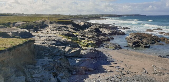
The headland is characterized by its unique geological formations, shaped over millions of years by the constant erosion caused by the crashing waves. The cliffs, composed of sedimentary rock layers, exhibit various colors and textures, adding to the charm of the area. At low tide, visitors can explore the exposed rock pools teeming with marine life, providing an educational and interactive experience.
Bellows is also known for its diverse flora and fauna. The headland is home to a variety of plant species, including wildflowers, grasses, and shrubs, which thrive in the mild coastal climate. The area attracts numerous bird species, making it an ideal spot for birdwatching. Visitors may spot seagulls, cormorants, and even the occasional peregrine falcon soaring above the cliffs.
For outdoor enthusiasts, Bellows offers opportunities for hiking and walking along the coastal path. The path winds its way around the headland, providing stunning views of the rugged coastline and the sparkling ocean. Adventurous visitors can also try rock climbing on the cliffs or enjoy water activities such as surfing and swimming in the clear waters.
With its natural beauty, geological significance, and recreational offerings, Bellows is a must-visit destination for those seeking to explore Cornwall's stunning coastline. Whether it's admiring the panoramic views, discovering the diverse wildlife, or simply enjoying the tranquility of the surroundings, Bellows captivates all who set foot on its shores.
If you have any feedback on the listing, please let us know in the comments section below.
Bellows Images
Images are sourced within 2km of 50.550539/-5.0310839 or Grid Reference SW8576. Thanks to Geograph Open Source API. All images are credited.


Bellows is located at Grid Ref: SW8576 (Lat: 50.550539, Lng: -5.0310839)
Unitary Authority: Cornwall
Police Authority: Devon and Cornwall
What 3 Words
///submerged.guard.blackouts. Near Padstow, Cornwall
Nearby Locations
Related Wikis
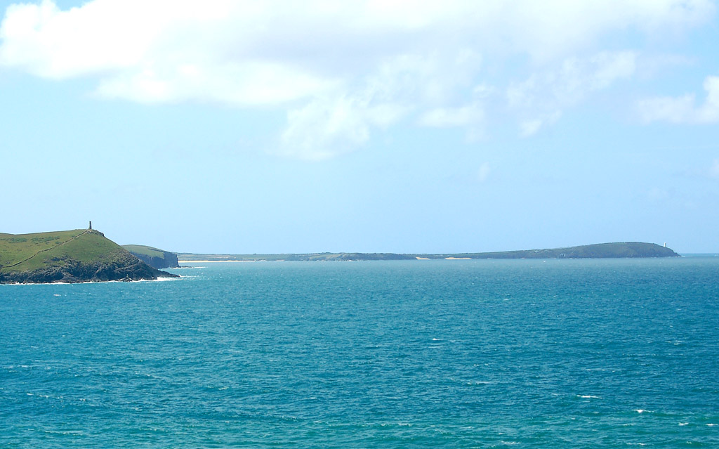
Trevose Head
Trevose Head (Cornish: Penn Trenfos, meaning farm of the wall's headland) (grid reference SW853764) is a headland on the Atlantic coast of north Cornwall...

Trevose Head Lighthouse
Trevose Head Lighthouse is a lighthouse on Trevose Head on the north Cornish coast at grid reference SW850766 lying to the WSW of Padstow and was sited...
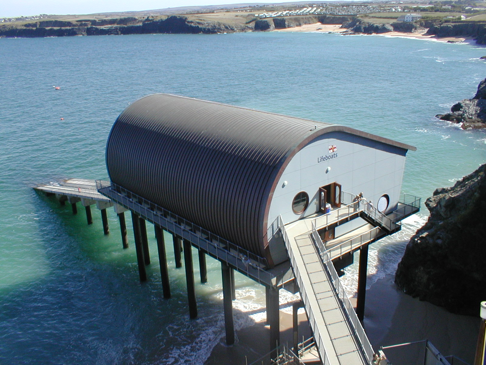
Padstow Lifeboat Station
Padstow Lifeboat Station is at Trevose Head west of Padstow, in Cornwall. It is run by the Royal National Lifeboat Institution (RNLI), and the current...
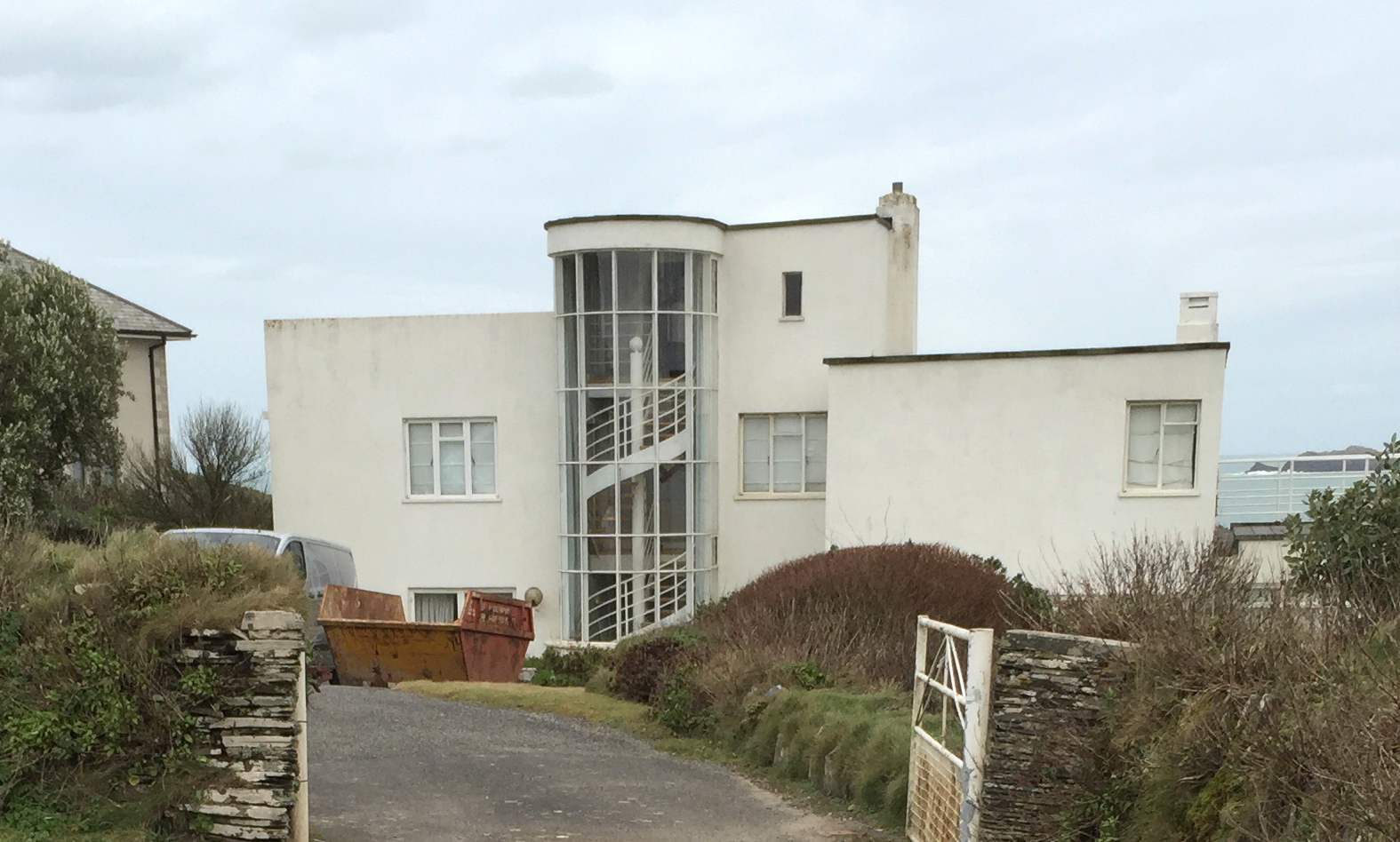
Polventon House
Polventon House is a grade II listed private house overlooking Mother Ivey's Bay near Padstow in Cornwall, England. It was built in the International Style...
Nearby Amenities
Located within 500m of 50.550539,-5.0310839Have you been to Bellows?
Leave your review of Bellows below (or comments, questions and feedback).