Chairs Rock
Coastal Feature, Headland, Point in Cornwall
England
Chairs Rock

The requested URL returned error: 429 Too Many Requests
If you have any feedback on the listing, please let us know in the comments section below.
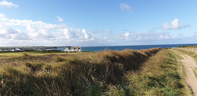
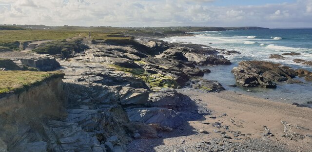
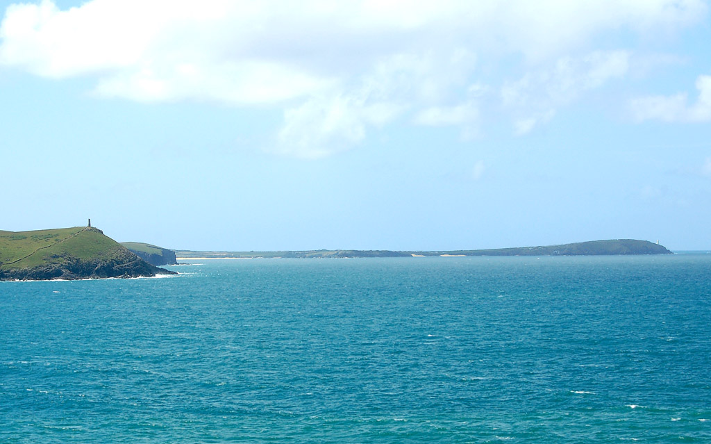
Chairs Rock Images
Images are sourced within 2km of 50.551217/-5.0244068 or Grid Reference SW8576. Thanks to Geograph Open Source API. All images are credited.


Chairs Rock is located at Grid Ref: SW8576 (Lat: 50.551217, Lng: -5.0244068)
Unitary Authority: Cornwall
Police Authority: Devon and Cornwall
What 3 Words
///running.relief.soggy. Near Padstow, Cornwall
Nearby Locations
Related Wikis
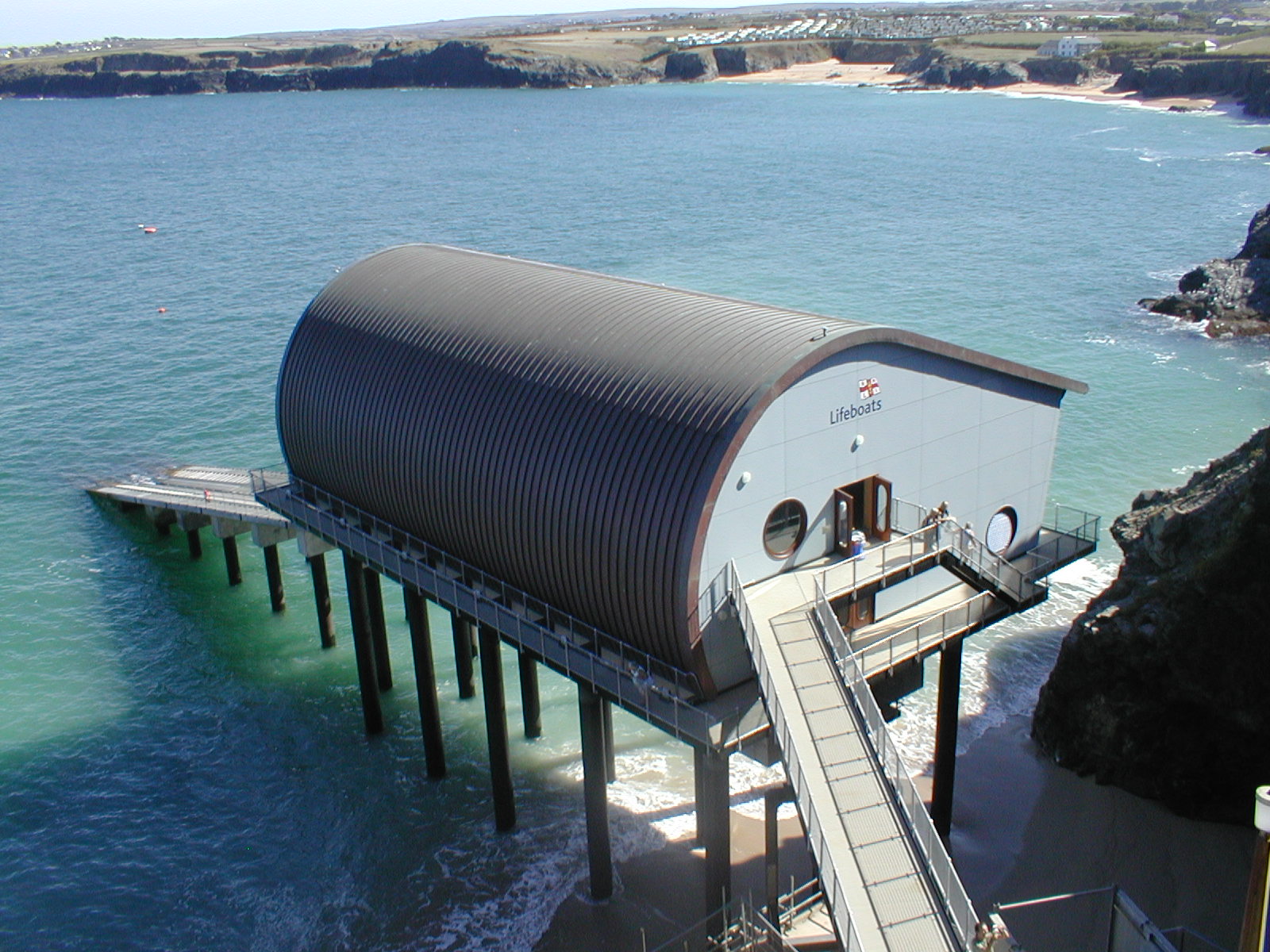
Padstow Lifeboat Station
Padstow Lifeboat Station is at Trevose Head west of Padstow, in Cornwall. It is run by the Royal National Lifeboat Institution (RNLI), and the current...
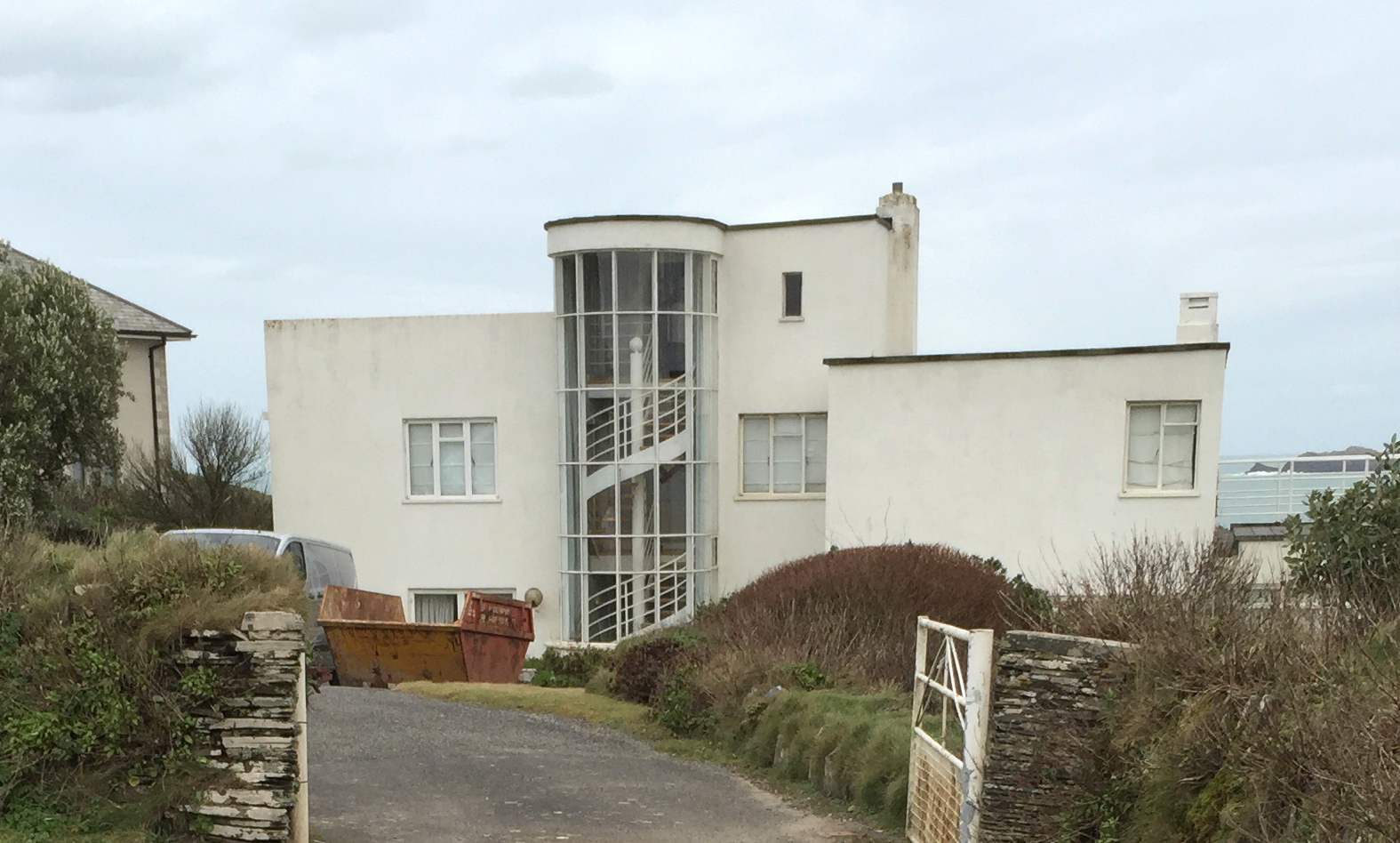
Polventon House
Polventon House is a grade II listed private house overlooking Mother Ivey's Bay near Padstow in Cornwall, England. It was built in the International Style...
Trevose Head
Trevose Head (Cornish: Penn Trenfos, meaning farm of the wall's headland) (grid reference SW853764) is a headland on the Atlantic coast of north Cornwall...

Mother Ivy's Bay
Polventon Bay (Cornish: Poll Fenton, meaning pool of a spring), Mother Ivey's Bay is a bay and bathing beach on the north coast of Cornwall, United Kingdom...
Nearby Amenities
Located within 500m of 50.551217,-5.0244068Have you been to Chairs Rock?
Leave your review of Chairs Rock below (or comments, questions and feedback).