Barras Bay
Bay in Cornwall
England
Barras Bay

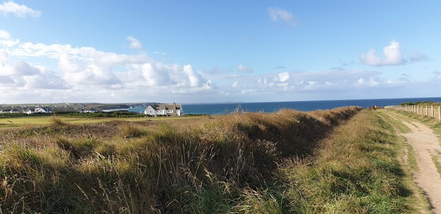
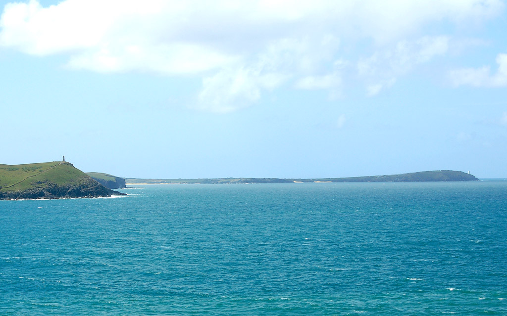
Barras Bay is a picturesque bay located on the north coast of Cornwall, England. Situated between the popular tourist destinations of St. Ives and Newquay, this hidden gem offers a tranquil and untouched coastal experience.
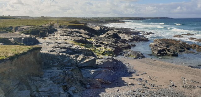
The bay is characterized by its pristine sandy beach, crystal-clear turquoise waters, and dramatic cliffs that surround the area. It is a relatively secluded destination, making it perfect for those seeking a peaceful and unspoiled natural beauty. The bay is also known for its stunning sunsets, which attract photographers and nature enthusiasts alike.
Barras Bay is a haven for wildlife, with various species of birds, seals, and even dolphins frequently spotted in the area. The rock pools that form during low tide are teeming with marine life, providing a great opportunity for children and adults to explore and discover fascinating creatures.
Access to the beach is relatively easy, with a small car park nearby and a short walk down to the shore. The lack of facilities and amenities in the immediate vicinity adds to the bay's unspoiled charm, so visitors are advised to bring their own food, drinks, and beach essentials.
Overall, Barras Bay is a hidden treasure along Cornwall's coastline, offering a peaceful escape from the hustle and bustle of more touristy areas. Its natural beauty, wildlife, and serenity make it a must-visit destination for those seeking a truly authentic Cornish coastal experience.
If you have any feedback on the listing, please let us know in the comments section below.
Barras Bay Images
Images are sourced within 2km of 50.550694/-5.0234132 or Grid Reference SW8576. Thanks to Geograph Open Source API. All images are credited.


Barras Bay is located at Grid Ref: SW8576 (Lat: 50.550694, Lng: -5.0234132)
Unitary Authority: Cornwall
Police Authority: Devon and Cornwall
What 3 Words
///workbench.tinned.dots. Near Padstow, Cornwall
Nearby Locations
Related Wikis
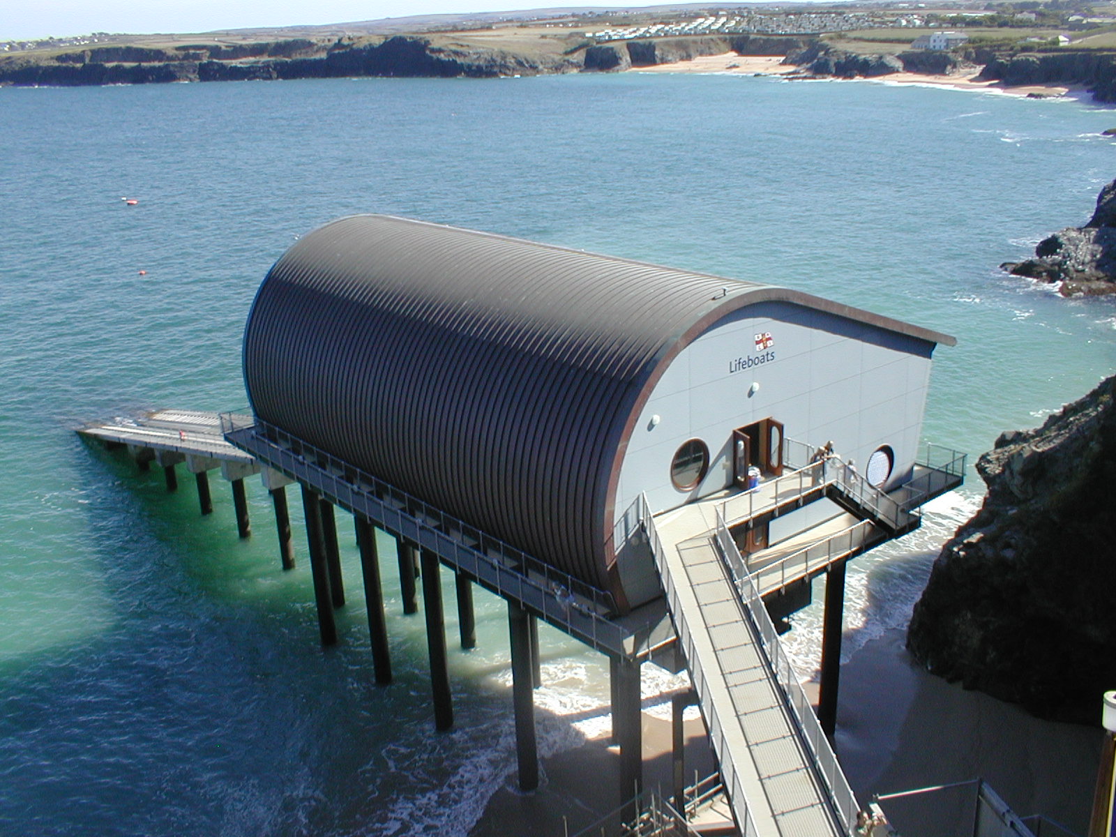
Padstow Lifeboat Station
Padstow Lifeboat Station is at Trevose Head west of Padstow, in Cornwall. It is run by the Royal National Lifeboat Institution (RNLI), and the current...
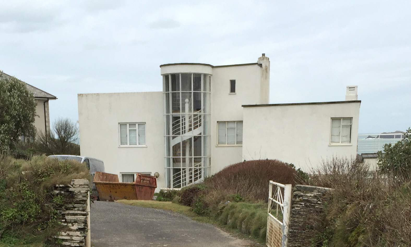
Polventon House
Polventon House is a grade II listed private house overlooking Mother Ivey's Bay near Padstow in Cornwall, England. It was built in the International Style...

Mother Ivy's Bay
Polventon Bay (Cornish: Poll Fenton, meaning pool of a spring), Mother Ivey's Bay is a bay and bathing beach on the north coast of Cornwall, United Kingdom...
Trevose Head
Trevose Head (Cornish: Penn Trenfos, meaning farm of the wall's headland) (grid reference SW853764) is a headland on the Atlantic coast of north Cornwall...
Nearby Amenities
Located within 500m of 50.550694,-5.0234132Have you been to Barras Bay?
Leave your review of Barras Bay below (or comments, questions and feedback).