Rubha na h-Earba

Coastal Feature, Headland, Point in Argyllshire

Scotland

Rubha na h-Earba

Maiden Island The northern end seen from the Lismore ferry.
Maiden Island Credit: Richard Webb

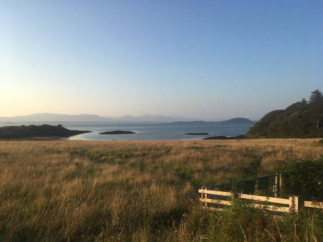
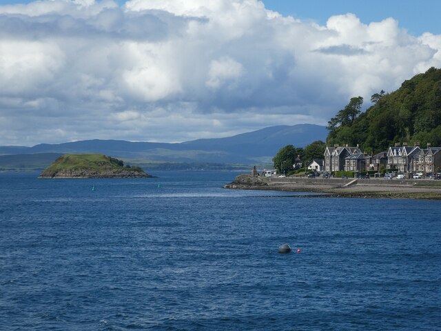
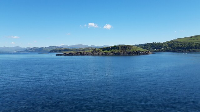
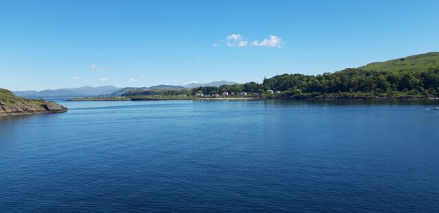
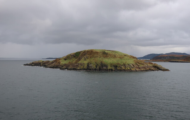
Rubha na h-Earba is a prominent coastal feature located in Argyllshire, Scotland. This headland, also known as Rubh' an Earba, is situated on the western coast of the Kintyre Peninsula. It extends into the Atlantic Ocean, offering breathtaking views of the surrounding landscape.

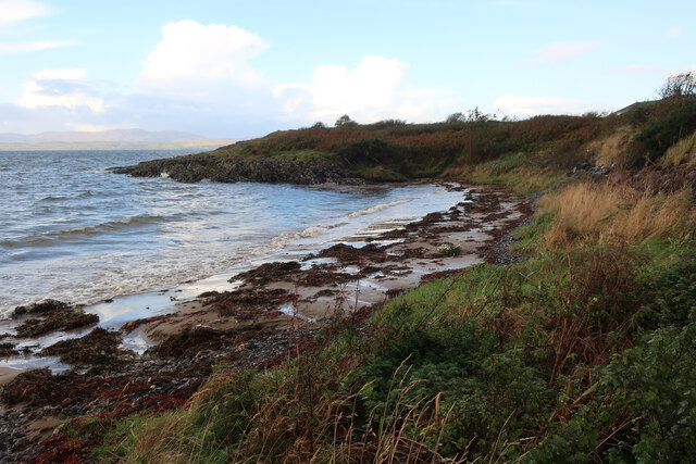
The headland is characterized by its rugged cliffs, which rise steeply from the sea to form a dramatic coastline. The cliffs are composed of ancient rocks, showcasing a variety of geological formations. This area is known for its rich biodiversity, with various seabirds nesting along the cliffs and marine life thriving in the surrounding waters.

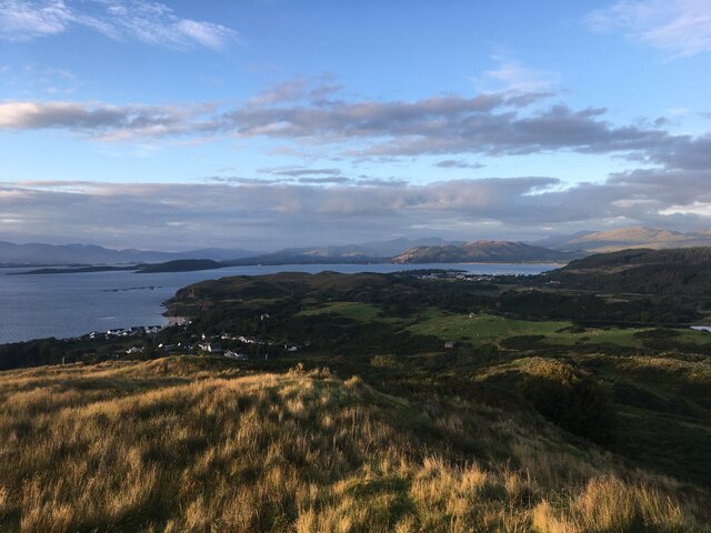
At the tip of Rubha na h-Earba, there is a prominent point that serves as a natural lookout. This vantage point offers panoramic views of the vast ocean, nearby islands, and the stunning Scottish countryside. On clear days, visitors can spot Islay, Jura, and even the Northern Irish coastline in the distance.

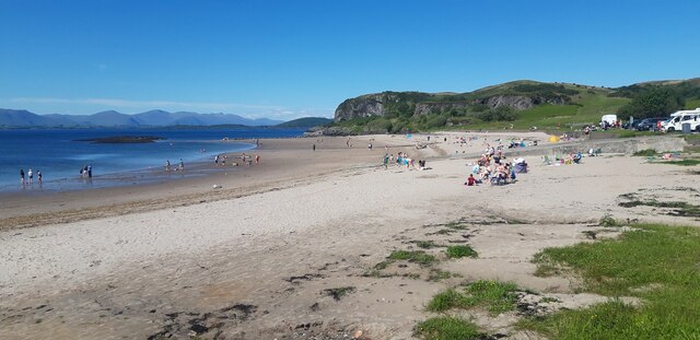
Access to Rubha na h-Earba is relatively easy, with a well-maintained footpath leading to the headland. The path winds through picturesque coastal scenery, offering opportunities for peaceful walks and wildlife observation. The headland is also a popular spot for birdwatching, with seabird colonies providing excellent viewing opportunities.

Overall, Rubha na h-Earba is a magnificent coastal feature that showcases the natural beauty of Argyllshire. Its rugged cliffs, stunning views, and diverse wildlife make it a must-visit destination for nature enthusiasts and those seeking tranquility by the sea.

If you have any feedback on the listing, please let us know in the comments section below.

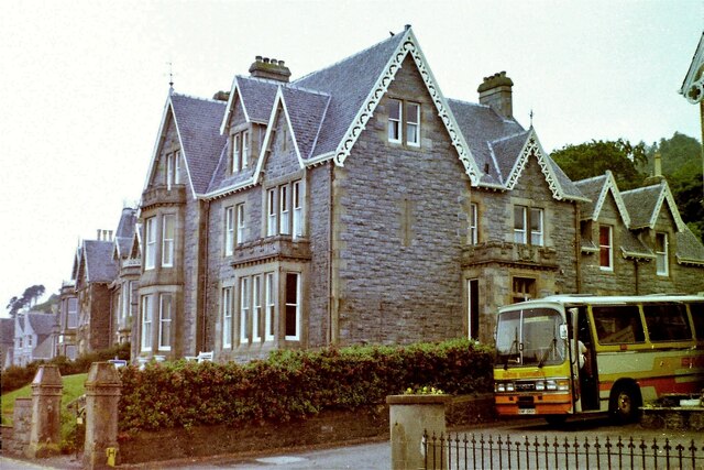
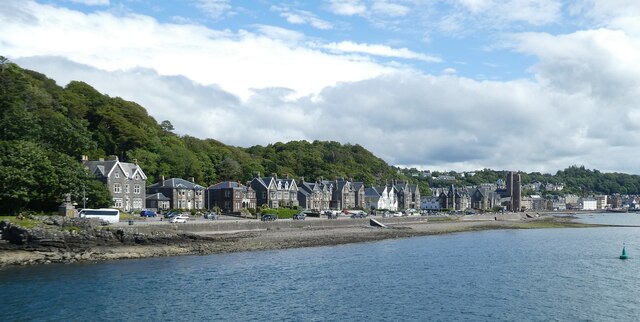
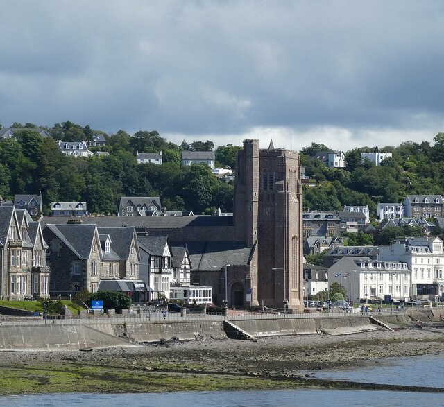
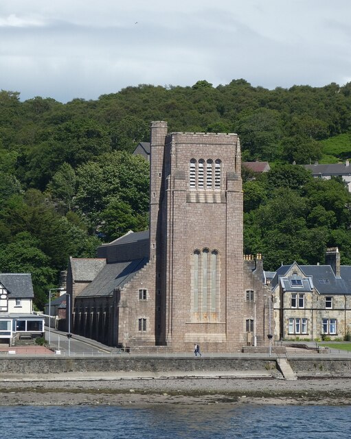
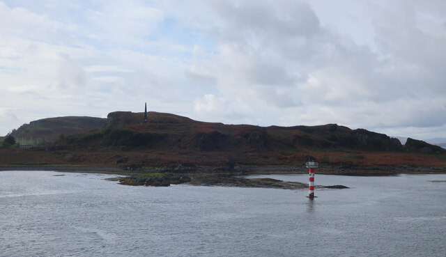
Rubha na h-Earba Images

Images are sourced within 2km of 56.436902/-5.4816784 or Grid Reference NM8532. Thanks to Geograph Open Source API. All images are credited.

Maiden Island The northern end seen from the Lismore ferry.
Maiden Island
The northern end seen from the Lismore ferry.
St Columba's Cathedral, Oban Category A listed. Listing number LB38820. Architect Sir Giles Gilbert Scott, 1935-52.
St Columba's Cathedral, Oban
Category A listed. Listing number LB38820. Architect Sir Giles Gilbert Scott, 1935-52.
Maiden Island From the MV Isle of Mull.
Maiden Island
From the MV Isle of Mull.
Field near Ganavan
Field near Ganavan
Cnoc Carnach
Cnoc Carnach
Oban Youth Hostel, 1983
Oban - Corran Esplanade from the sea Taken from a CalMac ferry approaching Oban with the houses along Corran Esplanade lining the coast. The large building in the distance is <a href="https://www.geograph.org.uk/photo/7256430">NM8530 : Oban - St Columba's Cathedral</a>
Oban - Corran Esplanade from the sea
Taken from a CalMac ferry approaching Oban with the houses along Corran Esplanade lining the coast. The large building in the distance is NM8530 : Oban - St Columba's Cathedral
Oban - St Columba's Cathedral - from incoming ferry St Columba's Cathedral was designed in the Neo-Gothic style by the architect Sir Giles Gilbert Scott and built between 1935 and 1952.
See HES Category 'A' listing here: <span class="nowrap"><a title="http://portal.historicenvironment.scot/designation/LB38820" rel="nofollow ugc noopener" href="http://portal.historicenvironment.scot/designation/LB38820">Link</a><img style="margin-left:2px;" alt="External link" title="External link - shift click to open in new window" src="https://s1.geograph.org.uk/img/external.png" width="10" height="10"/></span>
See also <a href="https://www.geograph.org.uk/photo/7256430">NM8530 : Oban - St Columba's Cathedral</a>
Oban - St Columba's Cathedral - from incoming ferry
St Columba's Cathedral was designed in the Neo-Gothic style by the architect Sir Giles Gilbert Scott and built between 1935 and 1952. See HES Category 'A' listing here: LinkExternal link See also NM8530 : Oban - St Columba's Cathedral
Oban - St Columba's Cathedral St Columba's Cathedral was designed in the Neo-Gothic style by the architect Sir Giles Gilbert Scott and built between 1935 and 1952.
See HES Category 'A' listing here: <span class="nowrap"><a title="http://portal.historicenvironment.scot/designation/LB38820" rel="nofollow ugc noopener" href="http://portal.historicenvironment.scot/designation/LB38820">Link</a><img style="margin-left:2px;" alt="External link" title="External link - shift click to open in new window" src="https://s1.geograph.org.uk/img/external.png" width="10" height="10"/></span>
See also <a href="https://www.geograph.org.uk/photo/7256423">NM8530 : Oban - St Columba's Cathedral - from incoming ferry</a>
Oban - St Columba's Cathedral
St Columba's Cathedral was designed in the Neo-Gothic style by the architect Sir Giles Gilbert Scott and built between 1935 and 1952. See HES Category 'A' listing here: LinkExternal link See also NM8530 : Oban - St Columba's Cathedral - from incoming ferry
Oban - View northwards out of the bay On the right can be seen the northernmost houses of Corran Esplanade while the little island on the left is Maiden Island (c.3ha (7 acres) with highest elevation 28m (92'))
Two of the green North Channel starboard buoys can be seen, probably numbers 1 & 3.
Oban - View northwards out of the bay
On the right can be seen the northernmost houses of Corran Esplanade while the little island on the left is Maiden Island (c.3ha (7 acres) with highest elevation 28m (92')) Two of the green North Channel starboard buoys can be seen, probably numbers 1 & 3.
Ganavan Sands
Ganavan Sands
Maiden Island View from Barra to Oban Ferry.
Maiden Island
View from Barra to Oban Ferry.
Camas Bàn View from the Barra to Oban Ferry.
Camas Bàn
View from the Barra to Oban Ferry.
Ganavan Sands
Ganavan Sands
Maiden Island From the ferry into Oban.
Maiden Island
From the ferry into Oban.
Beacon off Kerrera From the ferry into Oban.
Beacon off Kerrera
From the ferry into Oban.
Beach at Camas Bàn Just north of Oban.
Beach at Camas Bàn
Just north of Oban.
Ganavan Sands car park
Show me another place!

Rubha na h-Earba is located at Grid Ref: NM8532 (Lat: 56.436902, Lng: -5.4816784)

Unitary Authority: Argyll and Bute

Police Authority: Argyll and West Dunbartonshire

What 3 Words

///drop.intervals.hairspray. Near Oban, Argyll & Bute

Related Wikis

Ganavan

Ganavan (Scottish Gaelic: A' Ghaineamh Bhàn) is a small settlement on Ganavan Bay on the west coast of Scotland, around 1.5 miles (2.4 km) north of the...
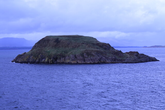
Maiden Island

Maiden Island is a small uninhabited island at the mouth of Oban Bay on the west coast of Scotland. == Geography == Maiden Island lies just off the coast...

Dunollie Castle

Dunollie Castle (Scottish Gaelic: Caisteal Dhùn Ollaigh) is a small ruined castle located on a hill north of the town of Oban, on the west coast of Scotland...

Pennyfuir Cemetery

Pennyfuir Cemetery is a cemetery in Oban, Argyll and Bute, Scotland. It was established in the 19th century.The cemetery contains 23 graves from the First...

Nearby Amenities

Located within 500m of 56.436902,-5.4816784
Source: PGS
Lat/Long: 56.4352471/-5.4789043
Source: PGS
Lat/Long: 56.4350981/-5.4792962
Addr Housename: Ganavan Cottage
Building: house
Source: OS Opendata StreetView
Source Name: OS Opendata StreetView
Lat/Long: 56.432912/-5.4790336
Ganavan Bay
Natural: bay
Lat/Long: 56.4377063/-5.4752697
Rubha na h-Earba
Natural: cape
Lat/Long: 56.4369642/-5.4823503
The data included in this document is from www.openstreetmap.org. The data is made available under ODbL.

Have you been to Rubha na h-Earba?

Leave your review of Rubha na h-Earba below (or comments, questions and feedback).