A' Chailleach

Coastal Feature, Headland, Point in Ross-shire

Scotland

A' Chailleach

The road to Canapress
The road to Canapress Credit: David Brown

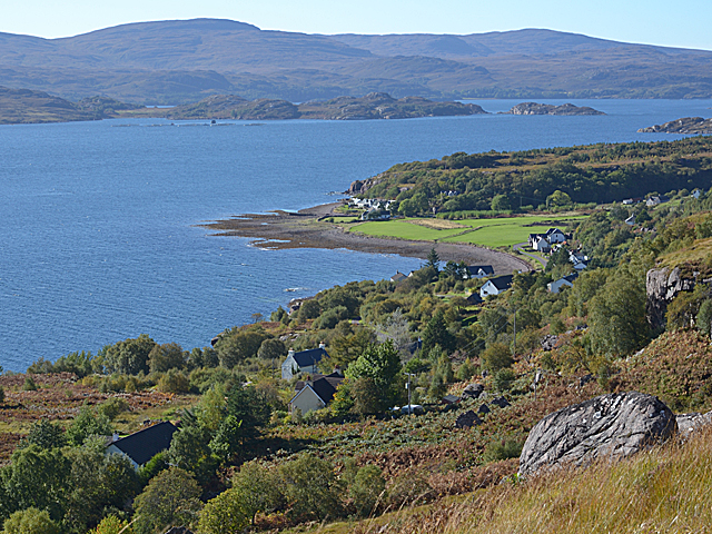
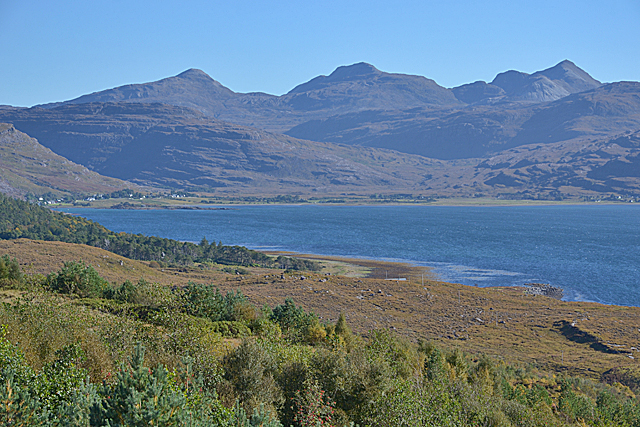
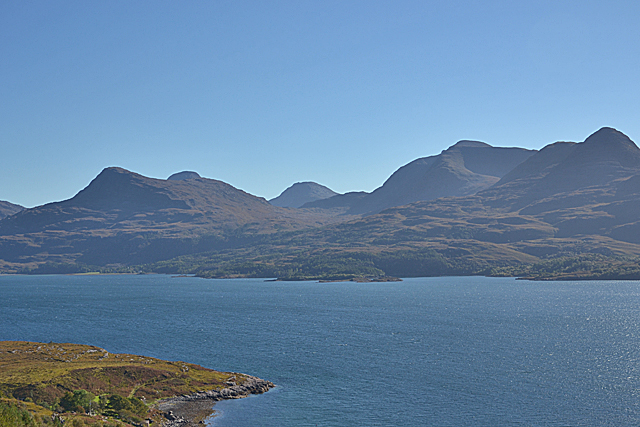
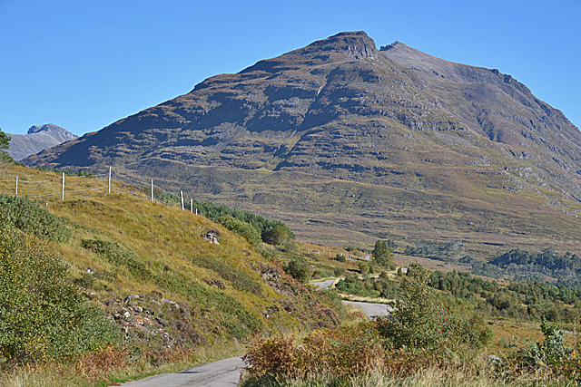
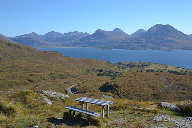
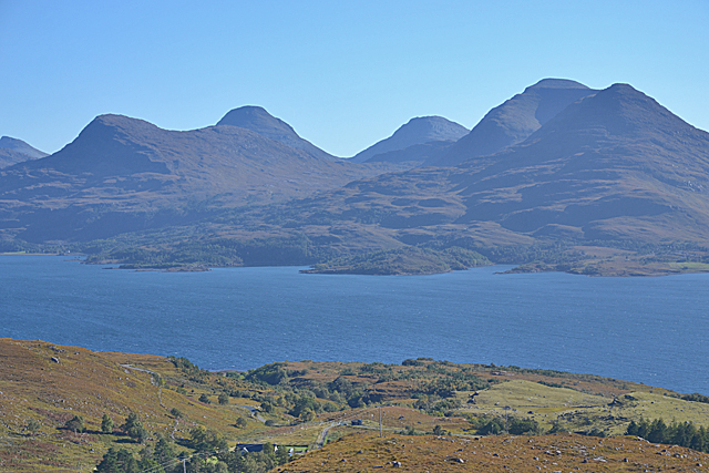
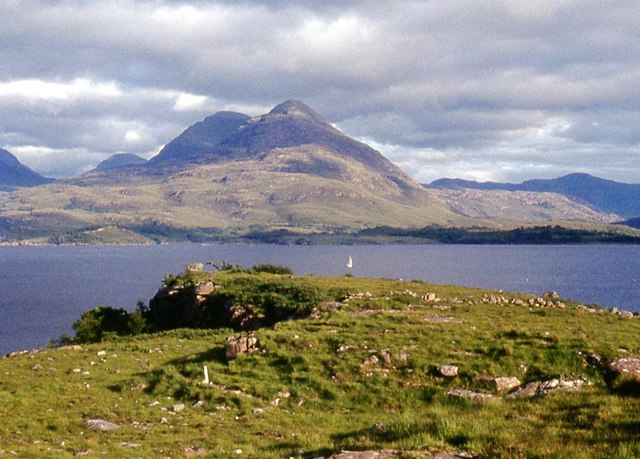
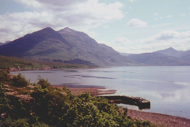
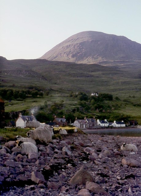
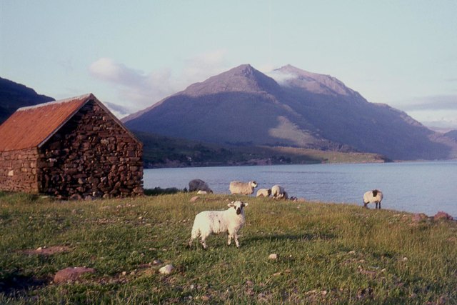
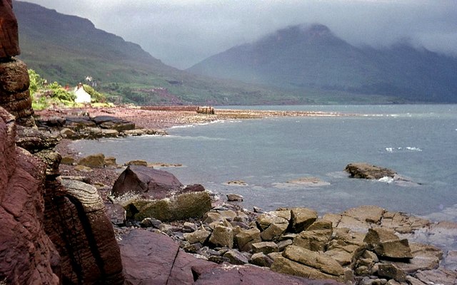
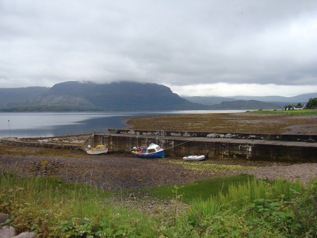
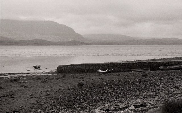
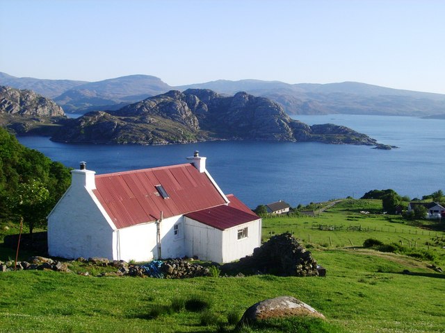
A' Chailleach is a prominent coastal feature located in Ross-shire, Scotland. It is a headland or point that juts out into the North Sea, offering stunning views of the surrounding landscape. The name "A' Chailleach" translates to "The Old Woman" in Gaelic, which reflects the rugged and weathered appearance of the headland.

Standing tall at an elevation of approximately 100 meters, A' Chailleach is characterized by its steep cliffs and rocky shoreline. The headland is made up of ancient rocks, including sandstone and conglomerate formations, which provide insight into the geological history of the area.

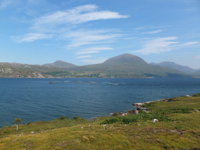
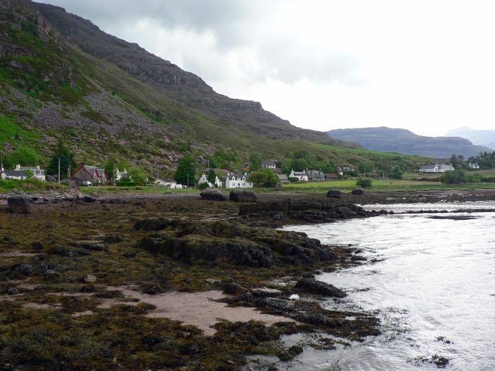
Due to its exposed location, A' Chailleach experiences strong winds and rough seas, making it a popular spot for birdwatching and observing marine wildlife. The headland provides a habitat for various seabirds, including gannets, kittiwakes, and puffins. Dolphins and seals can also be spotted in the waters surrounding A' Chailleach.

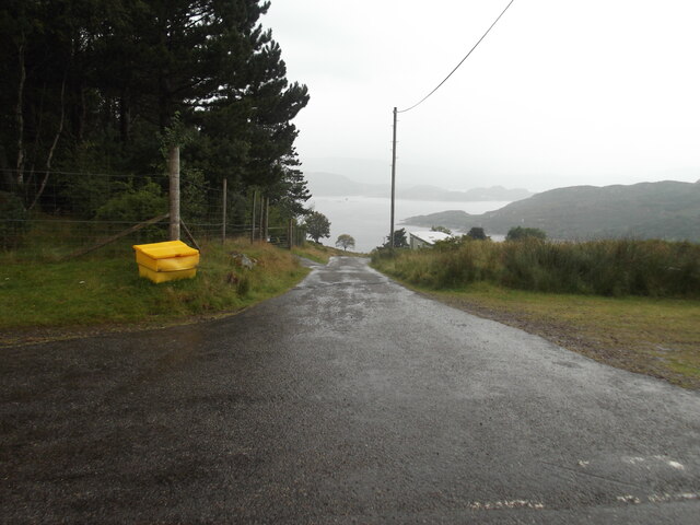
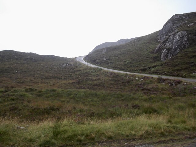
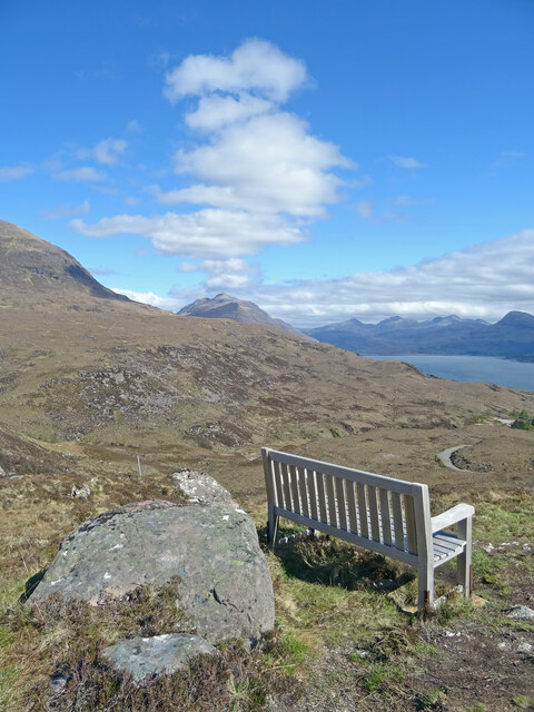
Visitors to A' Chailleach can appreciate the unspoiled beauty of the Scottish coastline, with its dramatic cliffs and panoramic views of the North Sea. The headland offers several walking trails that allow visitors to explore the area and enjoy its natural surroundings. It is advisable to wear appropriate footwear and exercise caution near the cliffs, as they can be slippery and dangerous.

A' Chailleach is a captivating coastal feature that showcases the wild and rugged beauty of the Scottish landscape. Its combination of geological significance, diverse wildlife, and breathtaking views make it a must-visit destination for nature enthusiasts and outdoor adventurers alike.

If you have any feedback on the listing, please let us know in the comments section below.

A' Chailleach Images

Images are sourced within 2km of 57.552952/-5.6140695 or Grid Reference NG8357. Thanks to Geograph Open Source API. All images are credited.

The road to Canapress
The road to Diabeg
The road to Diabeg
Sit A While Not a bad place to sit and eat lunch and ponder. Liathach appears to be making smoke signals while to the right is Upper Loch Torridon.
Sit A While
Not a bad place to sit and eat lunch and ponder. Liathach appears to be making smoke signals while to the right is Upper Loch Torridon.
Fish farm cages in Loch Torridon
View over Inveralligin A stunningly-situated village.
View over Inveralligin
A stunningly-situated village.
View to the head of Loch Torridon, from above Inveralligin With the three superb peaks of Sgorr nan Lochan Uaine, Beinn Liath Mhòr and Sgorr Ruadh lining the horizon beyond.
View to the head of Loch Torridon, from above Inveralligin
With the three superb peaks of Sgorr nan Lochan Uaine, Beinn Liath Mhòr and Sgorr Ruadh lining the horizon beyond.
Looking across Loch Torridon With the peaks of the Ben-Damph Forest, Beinn na Eaglaise and Beinn Damh, on the other side, and the Munro of Maol Chean-dearg poking up in the distance between them.
Looking across Loch Torridon
With the peaks of the Ben-Damph Forest, Beinn na Eaglaise and Beinn Damh, on the other side, and the Munro of Maol Chean-dearg poking up in the distance between them.
The western end of Liathach, from the Diabeg road The peak this end is Sgorr a' Chadail; beyond can be seen Liathach's second Munro summit, Mullach an Rathain.
The western end of Liathach, from the Diabeg road
The peak this end is Sgorr a' Chadail; beyond can be seen Liathach's second Munro summit, Mullach an Rathain.
Torridon view, from the Bealach na Gaoithe viewpoint
View across Loch Torridon from the Bealach na Gaoithe viewpoint
Loch Torridon at Alligin
The pier at Inveralligin The west end of Liathach rises beyond the bay.
The pier at Inveralligin
The west end of Liathach rises beyond the bay.
Inveralligin below Ben Alligin
Shed on the shore, Inveralligin Mullach an Rathain beyond.
Shed on the shore, Inveralligin
Mullach an Rathain beyond.
Torridon shore near Inveralligin
Roadside quarry above Rechullin
Inveralligin Pier
Inveralligin Pier
Inveralligin Pier Looking across Upper Loch Torridon.
Inveralligin Pier
Looking across Upper Loch Torridon.
Show me another place!

A' Chailleach is located at Grid Ref: NG8357 (Lat: 57.552952, Lng: -5.6140695)

Unitary Authority: Highland

Police Authority: Highlands and Islands

What 3 Words

///tonality.motel.owned. Near Lochcarron, Highland

Related Wikis

Inveralligin

Inveralligin (Scottish Gaelic: Inbhir Àiliginn) is a remote crofting township which lies on the north shore of Loch Torridon in Wester Ross and is in the...
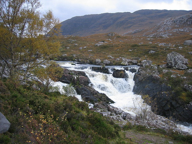
Falls of Balgy

Falls of Balgy is a waterfall near Torridon in Scotland. == See also == Waterfalls of Scotland == References ==
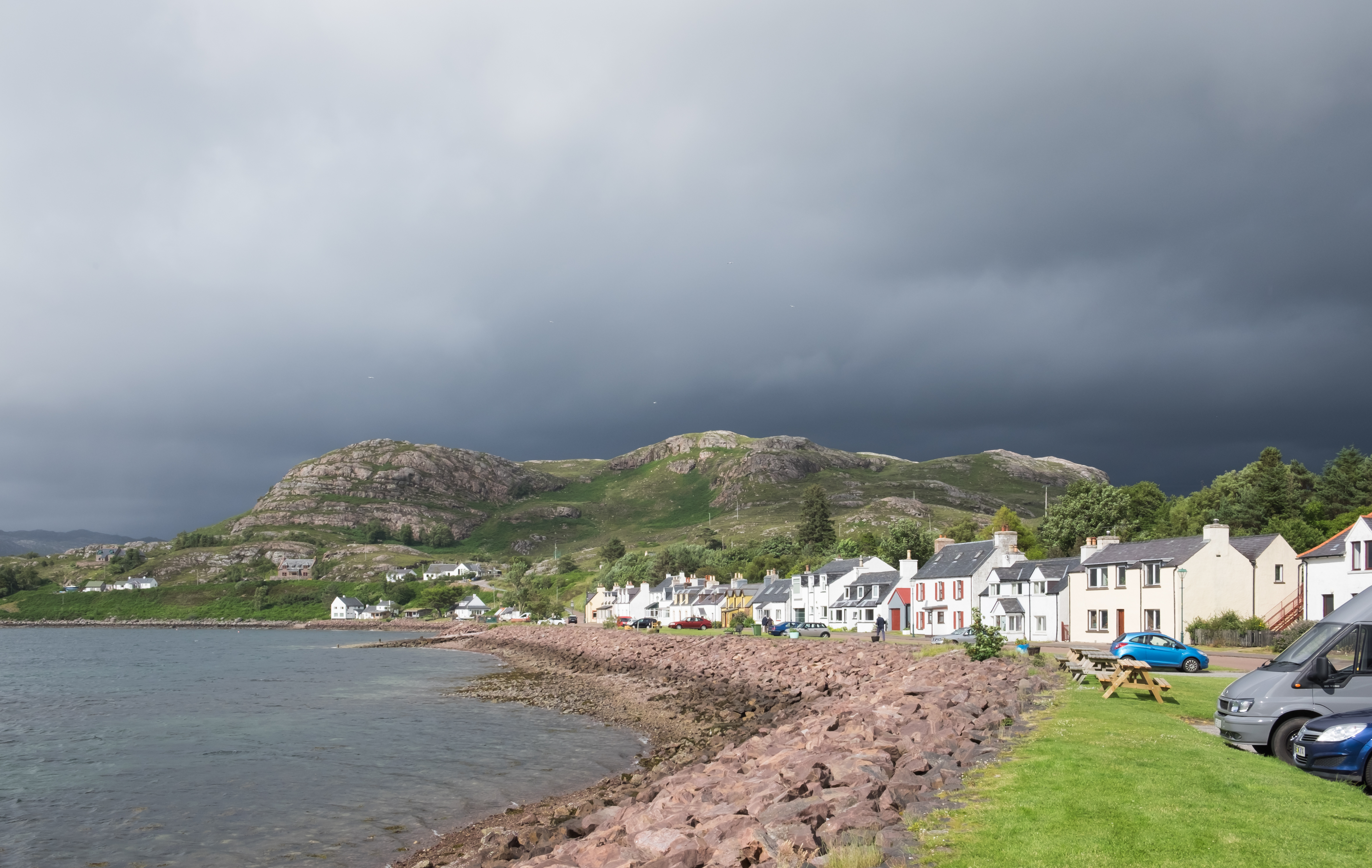
Shieldaig

Shieldaig (Scottish Gaelic: Sìldeag; Old Norse: síld-vík, lit. 'herring bay') is a village in Wester Ross in the Northwest Highlands, in the Scottish council...

Beinn Alligin

Beinn Alligin (Scottish Gaelic: Beinn Àilleagan) is one of the classic mountains of the Torridon region of Scotland, lying to the north of Loch Torridon...

Diabaig

Diabaig (Scottish Gaelic: Dìobaig) is a remote coastal fishing and crofting township in Wester Ross, in the Northwest Highlands of Scotland. Diabaig lies...

Annat, Highland

Annat (Scottish Gaelic: An Annaid) is a small village at the eastern end of Upper Loch Torridon in Wester Ross, in the Highland council area of Scotland...

Torridon

Torridon (Scottish Gaelic: Toirbheartan) is a small village in the Northwest Highlands of Scotland. However the name is also applied to the area surrounding...

Torridon Hills

The Torridon Hills surround Torridon village in the Northwest Highlands of Scotland. The name is usually applied to the mountains to the north of Glen...

Nearby Amenities

Located within 500m of 57.552952,-5.6140695
Source: PGS
Lat/Long: 57.5544019/-5.6218612
Source: PGS
Lat/Long: 57.554704/-5.6215185
Source: PGS
Lat/Long: 57.5549269/-5.6212181
Source: PGS
Lat/Long: 57.5547455/-5.620131
Source: PGS
Lat/Long: 57.5546791/-5.620115
Source: PGS
Lat/Long: 57.5539544/-5.6193802
Source: PGS
Lat/Long: 57.5537976/-5.6192189
Source: PGS
Lat/Long: 57.5533558/-5.6185907
Created By: almien_coastlines
Source: PGS
Lat/Long: 57.553096/-5.617493
Source: PGS
Lat/Long: 57.5529166/-5.6164186
Source: PGS
Lat/Long: 57.5526882/-5.6156215
Source: PGS
Lat/Long: 57.5526434/-5.6151356
Source: PGS
Lat/Long: 57.5524486/-5.6143088
Source: PGS
Lat/Long: 57.5525746/-5.6133117
Source: PGS
Lat/Long: 57.5527958/-5.6125862
Source: PGS
Lat/Long: 57.553254/-5.6109927
Source: PGS
Lat/Long: 57.5534778/-5.6094898
Source: PGS
Lat/Long: 57.5535226/-5.608946
Source: PGS
Lat/Long: 57.5536947/-5.6084203
Source: PGS
Lat/Long: 57.5537564/-5.60681
Source: PGS
Lat/Long: 57.5539808/-5.6067388
Source: PGS
Lat/Long: 57.5540198/-5.6066113
Source: PGS
Lat/Long: 57.5541492/-5.6062245
Source: PGS
Lat/Long: 57.5543125/-5.6062587
Inveralligin
Name En: Inveralligin
Name Gd: Inbhir Àiliginn
Place: village
Lat/Long: 57.5558929/-5.6150331
Passing Place
Lat/Long: 57.5556343/-5.6095018
Telephone
Booth: K6
Covered: booth
Phone: +44 1445 791225
Source: survey
Lat/Long: 57.5555439/-5.6089983
Post Box
Post Box Type: lamp
Royal Cypher: scottish_crown
Source: survey
Lat/Long: 57.5555773/-5.609004
Bus Stop
Alligin
Naptan AtcoCode: 6700712335
Naptan Bearing: NE
Naptan CommonName: Alligin
Naptan Indicator: o/s Post Office
Naptan Landmark: Post Office
Naptan NaptanCode: 45327674
Naptan Street: Alligin Road
Naptan Verified: no
Source: naptan_import
Lat/Long: 57.5554304/-5.6089756
Power: pole
Lat/Long: 57.5553663/-5.6085494
Power: pole
Lat/Long: 57.5551321/-5.6087046
Power: pole
Lat/Long: 57.554494/-5.6091673
Power: pole
Lat/Long: 57.5540209/-5.6095052
Power: pole
Lat/Long: 57.5541758/-5.6103174
Power: pole
Lat/Long: 57.5544707/-5.6120144
Power: pole
Lat/Long: 57.554687/-5.6132501
Power: pole
Lat/Long: 57.5549889/-5.6149543
Power: pole
Lat/Long: 57.5551858/-5.6160856
Power: pole
Lat/Long: 57.5554745/-5.6177289
Power: pole
Lat/Long: 57.5556495/-5.6187253
Power: pole
Lat/Long: 57.5558413/-5.6198138
Passing Place
Lat/Long: 57.5563301/-5.611641
Passing Place
Lat/Long: 57.55681/-5.6135911
The data included in this document is from www.openstreetmap.org. The data is made available under ODbL.

Have you been to A' Chailleach?

Leave your review of A' Chailleach below (or comments, questions and feedback).