Port a' Chaobaill

Sea, Estuary, Creek in Ross-shire

Scotland

Port a' Chaobaill

The road to Canapress
The road to Canapress Credit: David Brown

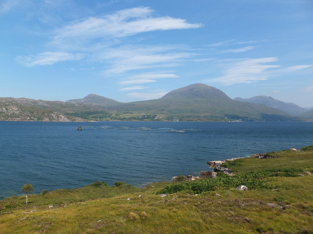
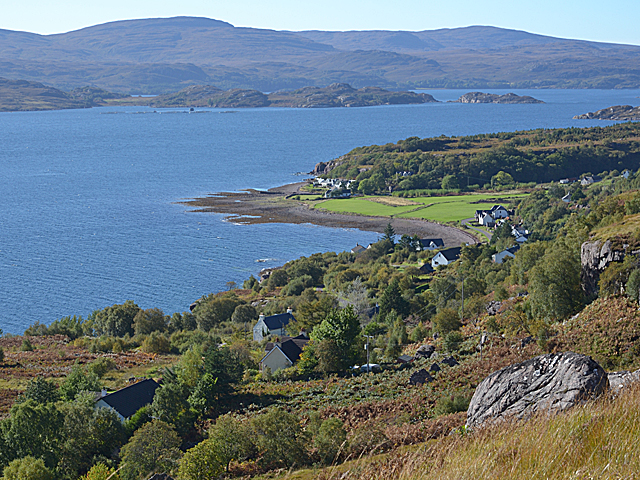
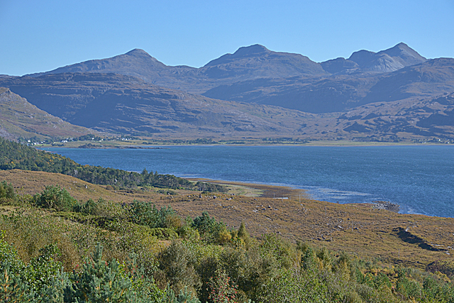
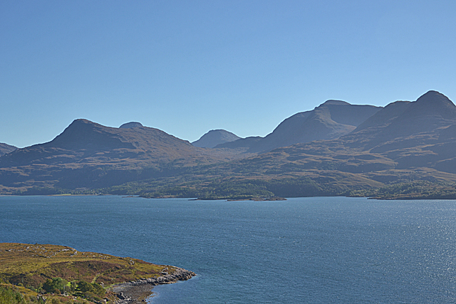
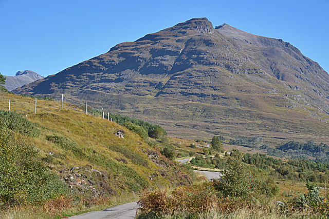
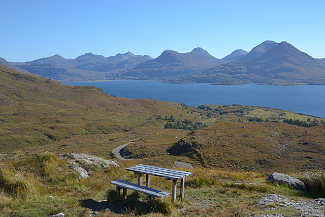
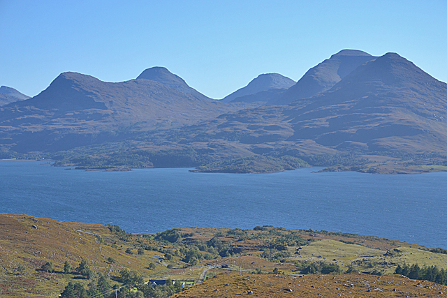
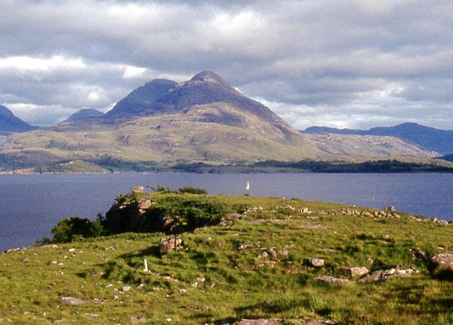
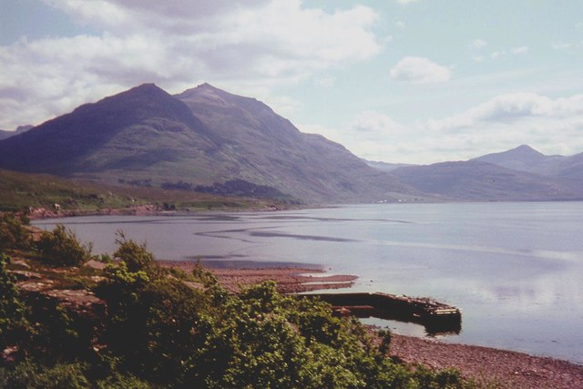
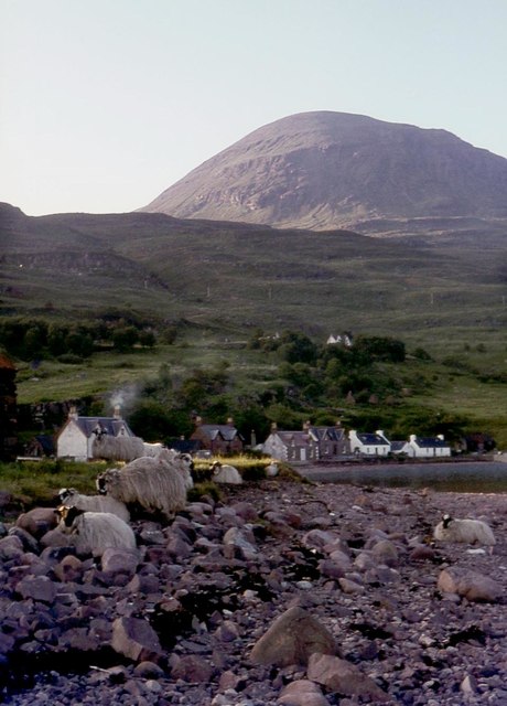
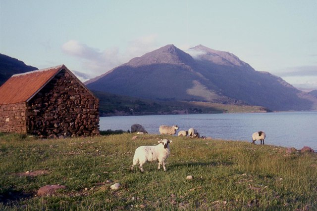
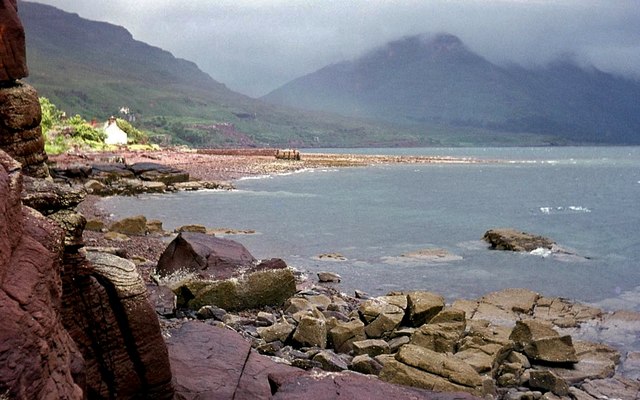
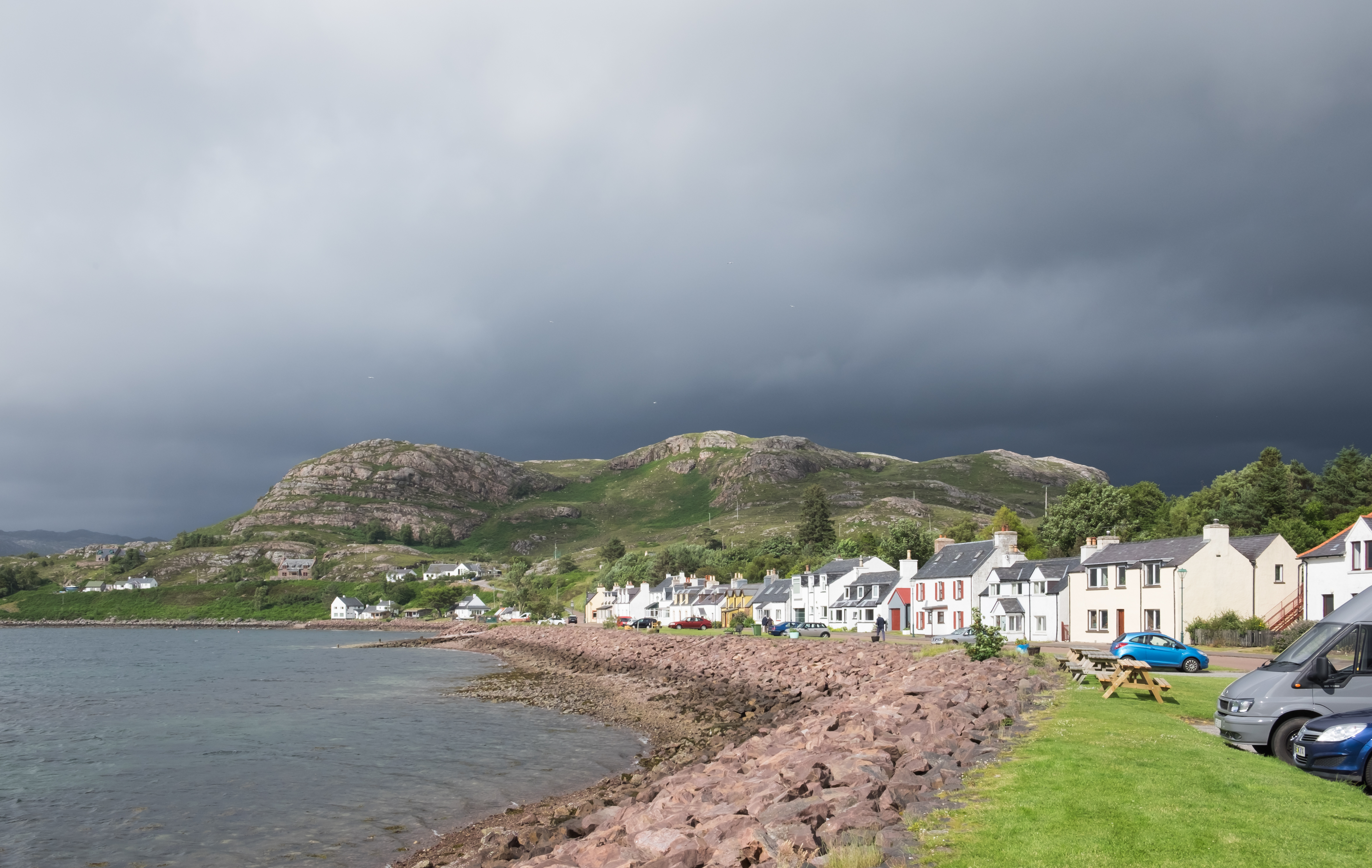
Port a' Chaobaill is a charming coastal village located in Ross-shire, Scotland. Situated on the eastern shore of the breathtaking Dornoch Firth, it is known for its picturesque sea views, estuary, and creek.

The village is nestled amidst stunning natural beauty, with the sparkling blue waters of the North Sea stretching out before it. The sea at Port a' Chaobaill offers a wide range of activities for visitors and locals alike. Fishing enthusiasts can cast their lines from the shore or venture out on fishing trips to catch an array of species including mackerel, cod, and haddock. The sea also provides a perfect setting for water sports enthusiasts, offering opportunities for sailing, kayaking, and windsurfing.

Just south of the village, the estuary of the Dornoch Firth begins, creating a unique and diverse ecosystem. The estuary is home to a variety of bird species, making it a popular spot for birdwatchers. Visitors can witness the majestic sight of flocks of wading birds, including curlews and oystercatchers, foraging along the shoreline. The estuary also supports a rich diversity of marine life, such as seals and dolphins, which can often be spotted frolicking in the water.

At the heart of Port a' Chaobaill is a peaceful creek that winds its way through the village. The creek serves as a focal point for the community, providing a tranquil spot for leisurely walks and a place for children to play and explore.

Overall, Port a' Chaobaill is a coastal gem that offers a harmonious blend of natural beauty, marine life, and recreational activities, making it a must-visit destination for nature lovers and outdoor enthusiasts.

If you have any feedback on the listing, please let us know in the comments section below.

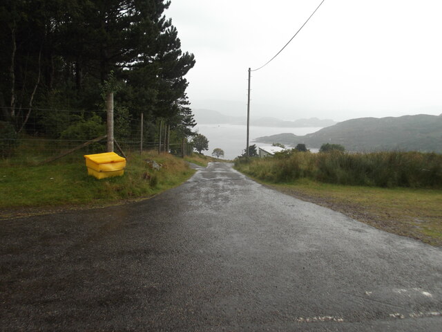
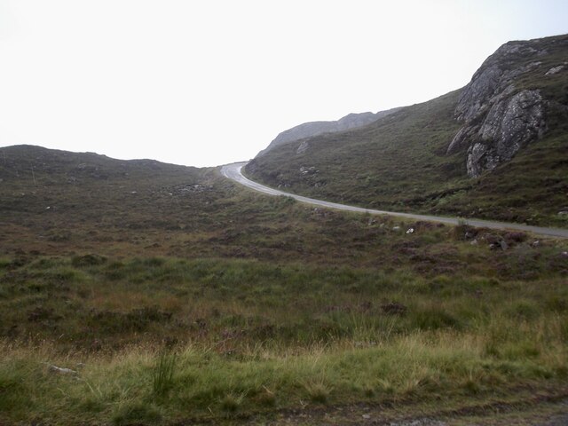
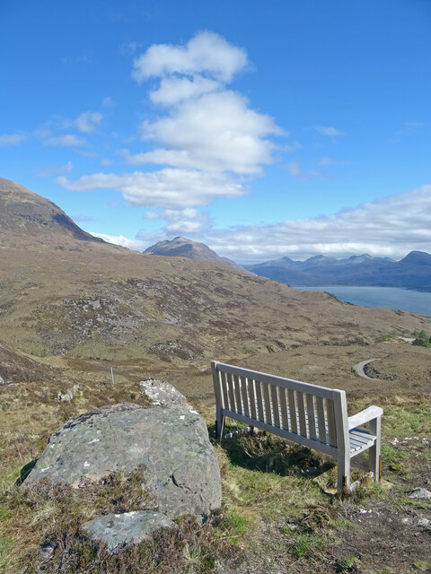
Port a' Chaobaill Images

Images are sourced within 2km of 57.553822/-5.6213305 or Grid Reference NG8357. Thanks to Geograph Open Source API. All images are credited.

The road to Canapress
The road to Diabeg
The road to Diabeg
Sit A While Not a bad place to sit and eat lunch and ponder. Liathach appears to be making smoke signals while to the right is Upper Loch Torridon.
Sit A While
Not a bad place to sit and eat lunch and ponder. Liathach appears to be making smoke signals while to the right is Upper Loch Torridon.
Fish farm cages in Loch Torridon
View over Inveralligin A stunningly-situated village.
View over Inveralligin
A stunningly-situated village.
View to the head of Loch Torridon, from above Inveralligin With the three superb peaks of Sgorr nan Lochan Uaine, Beinn Liath Mhòr and Sgorr Ruadh lining the horizon beyond.
View to the head of Loch Torridon, from above Inveralligin
With the three superb peaks of Sgorr nan Lochan Uaine, Beinn Liath Mhòr and Sgorr Ruadh lining the horizon beyond.
Looking across Loch Torridon With the peaks of the Ben-Damph Forest, Beinn na Eaglaise and Beinn Damh, on the other side, and the Munro of Maol Chean-dearg poking up in the distance between them.
Looking across Loch Torridon
With the peaks of the Ben-Damph Forest, Beinn na Eaglaise and Beinn Damh, on the other side, and the Munro of Maol Chean-dearg poking up in the distance between them.
The western end of Liathach, from the Diabeg road The peak this end is Sgorr a' Chadail; beyond can be seen Liathach's second Munro summit, Mullach an Rathain.
The western end of Liathach, from the Diabeg road
The peak this end is Sgorr a' Chadail; beyond can be seen Liathach's second Munro summit, Mullach an Rathain.
Torridon view, from the Bealach na Gaoithe viewpoint
View across Loch Torridon from the Bealach na Gaoithe viewpoint
Loch Torridon at Alligin
The pier at Inveralligin The west end of Liathach rises beyond the bay.
The pier at Inveralligin
The west end of Liathach rises beyond the bay.
Inveralligin below Ben Alligin
Shed on the shore, Inveralligin Mullach an Rathain beyond.
Shed on the shore, Inveralligin
Mullach an Rathain beyond.
Bealach na Gaoithe
Bealach na Gaoithe
Torridon shore near Inveralligin
Lochan on Bealach na Gaoithe
Bealach na Gaoithe
Bealach na Gaoithe
Show me another place!

Port a' Chaobaill is located at Grid Ref: NG8357 (Lat: 57.553822, Lng: -5.6213305)

Unitary Authority: Highland

Police Authority: Highlands and Islands

What 3 Words

///corrosive.shrubbery.soft. Near Lochcarron, Highland

Related Wikis

Inveralligin

Inveralligin (Scottish Gaelic: Inbhir Àiliginn) is a remote crofting township which lies on the north shore of Loch Torridon in Wester Ross and is in the...

Falls of Balgy

Falls of Balgy is a waterfall near Torridon in Scotland. == See also == Waterfalls of Scotland == References ==

Shieldaig

Shieldaig (Scottish Gaelic: Sìldeag; Old Norse: síld-vík, lit. 'herring bay') is a village in Wester Ross in the Northwest Highlands, in the Scottish council...

Diabaig

Diabaig (Scottish Gaelic: Dìobaig) is a remote coastal fishing and crofting township in Wester Ross, in the Northwest Highlands of Scotland. Diabaig lies...

Nearby Amenities

Located within 500m of 57.553822,-5.6213305
Source: PGS
Lat/Long: 57.5548445/-5.6286015
Source: PGS
Lat/Long: 57.5545299/-5.6268449
Source: PGS
Lat/Long: 57.5542675/-5.6256369
Source: PGS
Lat/Long: 57.5541015/-5.6253967
Source: PGS
Lat/Long: 57.553789/-5.6243057
Source: PGS
Lat/Long: 57.5537852/-5.6235008
Source: PGS
Lat/Long: 57.5539806/-5.6228
Source: PGS
Lat/Long: 57.5544019/-5.6218612
Source: PGS
Lat/Long: 57.554704/-5.6215185
Source: PGS
Lat/Long: 57.5549269/-5.6212181
Source: PGS
Lat/Long: 57.5547455/-5.620131
Source: PGS
Lat/Long: 57.5546791/-5.620115
Source: PGS
Lat/Long: 57.5539544/-5.6193802
Source: PGS
Lat/Long: 57.5537976/-5.6192189
Source: PGS
Lat/Long: 57.5533558/-5.6185907
Created By: almien_coastlines
Source: PGS
Lat/Long: 57.553096/-5.617493
Source: PGS
Lat/Long: 57.5529166/-5.6164186
Source: PGS
Lat/Long: 57.5526882/-5.6156215
Source: PGS
Lat/Long: 57.5526434/-5.6151356
Source: PGS
Lat/Long: 57.5524486/-5.6143088
Source: PGS
Lat/Long: 57.5525746/-5.6133117
Inveralligin
Name En: Inveralligin
Name Gd: Inbhir Àiliginn
Place: village
Lat/Long: 57.5558929/-5.6150331
Power: pole
Lat/Long: 57.554687/-5.6132501
Power: pole
Lat/Long: 57.5549889/-5.6149543
Power: pole
Lat/Long: 57.5551858/-5.6160856
Power: pole
Lat/Long: 57.5554745/-5.6177289
Power: pole
Lat/Long: 57.5556495/-5.6187253
Power: pole
Lat/Long: 57.5558413/-5.6198138
Power: pole
Lat/Long: 57.5563059/-5.6212541
Power: pole
Lat/Long: 57.5566965/-5.622439
Power: pole
Lat/Long: 57.5571407/-5.6238184
Power: pole
Lat/Long: 57.5575733/-5.6251368
The data included in this document is from www.openstreetmap.org. The data is made available under ODbL.

Have you been to Port a' Chaobaill?

Leave your review of Port a' Chaobaill below (or comments, questions and feedback).