Creag an Fhithich

Coastal Feature, Headland, Point in Argyllshire

Scotland

Creag an Fhithich

Horses grazing in field
Horses grazing in field Credit: Steven Brown

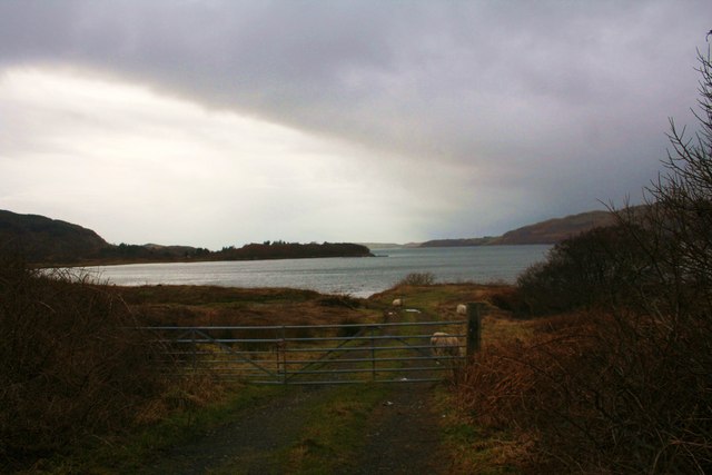
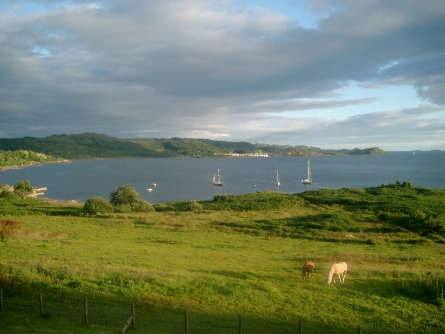
Creag an Fhithich is a prominent coastal feature located in Argyllshire, Scotland. It is a headland that juts out into the sea, forming a distinctive point along the coastline. The name "Creag an Fhithich" translates to "The Raven's Rock" in English, which is derived from the Gaelic language.

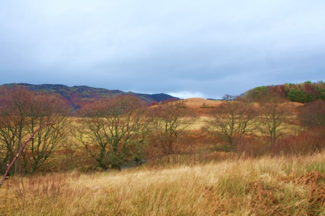
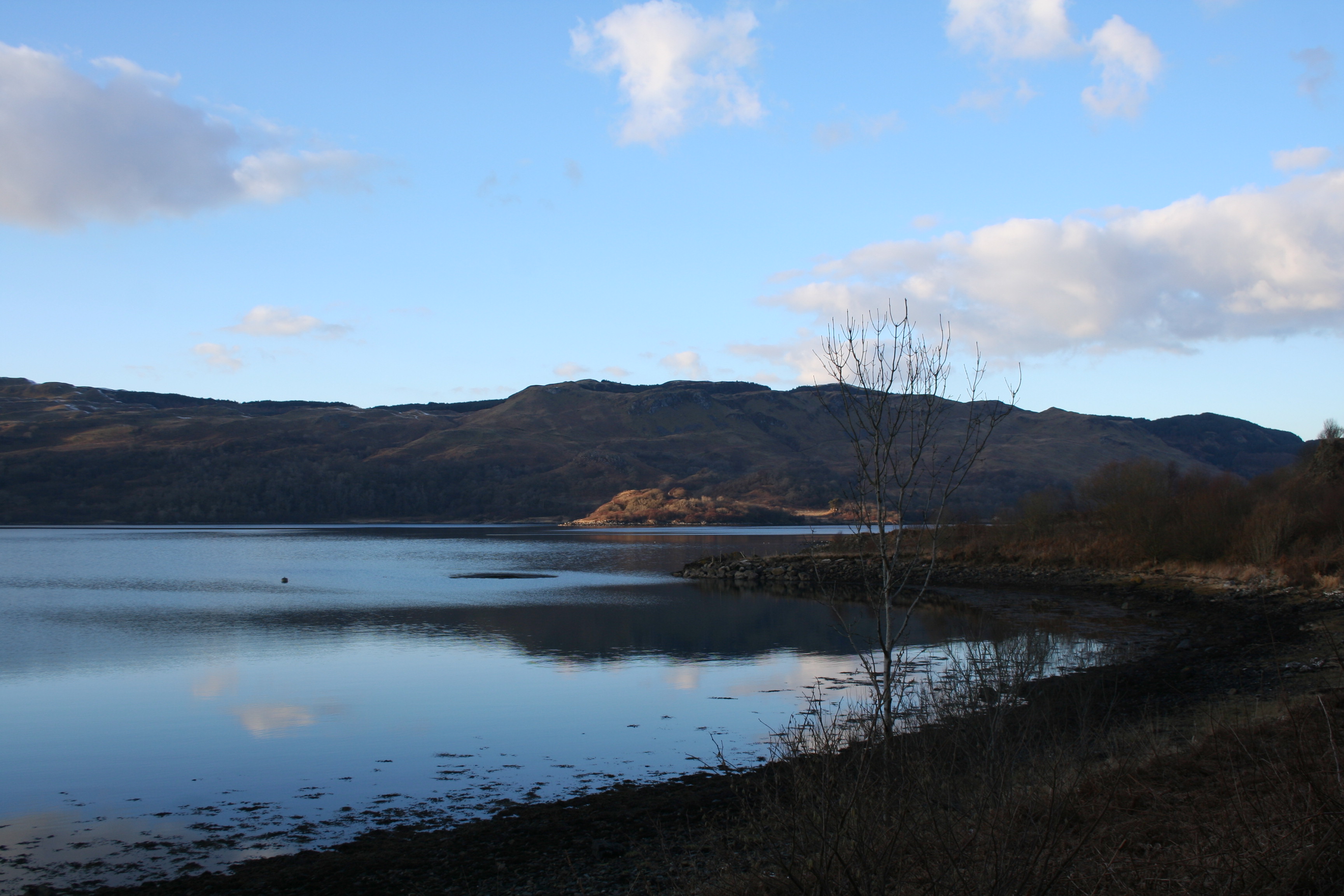
This headland is characterized by its rugged and rocky terrain, with steep cliffs that rise dramatically from the sea. The cliffs are composed of ancient volcanic rocks, providing a stunning backdrop to the coastal landscape. The unique geology of Creag an Fhithich attracts geologists and nature enthusiasts alike.

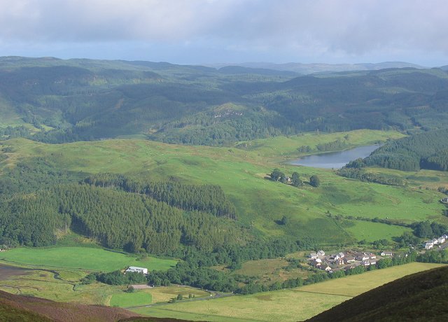
The headland offers breathtaking views of the surrounding area, including the expansive ocean and the neighboring islands. On a clear day, visitors can even catch a glimpse of the distant mountains on the mainland. The coastal waters around Creag an Fhithich are known for their rich marine life, making it a popular spot for fishing and diving.

The area is also renowned for its diverse bird population. Many species, including ravens, gulls, and seabirds, can be observed nesting and soaring above the headland. Ornithologists and birdwatchers often visit Creag an Fhithich to observe and study these magnificent creatures.

Access to Creag an Fhithich is relatively easy, with a well-maintained footpath leading to the headland. There are also several viewpoints and picnic areas along the way, allowing visitors to rest and admire the natural beauty of the surroundings. Overall, Creag an Fhithich is a captivating coastal feature that offers a memorable experience for nature lovers and adventurers alike.

If you have any feedback on the listing, please let us know in the comments section below.

Creag an Fhithich Images

Images are sourced within 2km of 56.260383/-5.4902003 or Grid Reference NM8313. Thanks to Geograph Open Source API. All images are credited.

Horses grazing in field
A816 near Glenmore
A816 near Glenmore
Sheep and Track by Kames Sheep grazing by Kames Bay.
Sheep and Track by Kames
Sheep grazing by Kames Bay.
Trees by the Burn Trees growing by the Eas Mhic Aidh.
Trees by the Burn
Trees growing by the Eas Mhic Aidh.
House on the Hill A house on the hillside overlooking the hotel at Kilmelford.
House on the Hill
A house on the hillside overlooking the hotel at Kilmelford.
Road leading to Ardanstur Farm near Melfort
Single track road heading for Melfort in Argyll Below Creag an Sturra.
Single track road heading for Melfort in Argyll
Below Creag an Sturra.
Road heading along the banks of Loch na Cille
Pleasure craft at moor on Loch na Cille
Melfort Pier When constructed early in the 19th century this was known as Fearnach Pier. The water here was deep enough to enable deliveries of the raw materials that were needed for the manufacture of gunpowder at the nearby Melfort Estate and to distribute the finished product. A tramway connected the pier with the gunpowder works.

In recent years, Melfort Pier has been used for leisure-based activities, including yachting, wind-surfing and fishing.
Melfort Pier
When constructed early in the 19th century this was known as Fearnach Pier. The water here was deep enough to enable deliveries of the raw materials that were needed for the manufacture of gunpowder at the nearby Melfort Estate and to distribute the finished product. A tramway connected the pier with the gunpowder works. In recent years, Melfort Pier has been used for leisure-based activities, including yachting, wind-surfing and fishing.
Loch na Cille At the head of Loch Melfort
Loch na Cille
At the head of Loch Melfort
The Melfort road by Loch na Cille Empty winter scene where sailors throng in summer
The Melfort road by Loch na Cille
Empty winter scene where sailors throng in summer
Tree lined shore of Loch Melfort
Loch Druimnean Loch Druimnean in moorland by Melfort.
Loch Druimnean
Loch Druimnean in moorland by Melfort.
Trees by Druimnean Woodland evergreen, deciduous and one dead tree by Druimnean.
Trees by Druimnean
Woodland evergreen, deciduous and one dead tree by Druimnean.
Churchyard at Kilmelford
Gravestones at Kilmelford
Show me another place!

Creag an Fhithich is located at Grid Ref: NM8313 (Lat: 56.260383, Lng: -5.4902003)

Unitary Authority: Argyll and Bute

Police Authority: Argyll and West Dunbartonshire

What 3 Words

///crackled.slippery.handrail. Near Oban, Argyll & Bute

Related Wikis

Kilmelford

Kilmelford (Scottish Gaelic: Cill Mheallaird) is a village in Argyll and Bute, Scotland. It is situated near the head of the west coast sea loch, Loch...

Kilmelfort Hydro-Electric Scheme

Kilmelfort Hydro-Electric Scheme is a small-scale hydro-electric power station, built by the North of Scotland Hydro-Electric Board and commissioned in...

Kames Bay, Loch Melfort

Kames Bay is small remote tidal north by northwest facing coastal embayment forming part of the southern coast of Loch Melfort within Argyll and Bute,...

Arduaine

Arduaine (Scottish Gaelic: An Àird Uaine, lit. 'green/fertile promontory or headland', pronounced "Ard oo an-ye") is a village in Argyll and Bute, Scotland...

Nearby Amenities

Located within 500m of 56.260383,-5.4902003
Passing Place
Lat/Long: 56.2572126/-5.484562
Passing Place
Lat/Long: 56.25764/-5.4871785
Ceann Mòr
Corbett: no
Ele: 119
Graham: no
Marilyn: no
Munro: no
Natural: peak
Lat/Long: 56.2641902/-5.4911066
Passing Place
Lat/Long: 56.2574863/-5.4864684
Passing Place
Lat/Long: 56.2623062/-5.4953594
Passing Place
Lat/Long: 56.2583392/-5.4884894
Passing Place
Lat/Long: 56.2604478/-5.4923333
Passing Place
Lat/Long: 56.2601448/-5.4920416
Material: wood
Power: pole
Lat/Long: 56.2579762/-5.4847496
Bench
Backrest: yes
Direction: SW
Material: wood
Lat/Long: 56.2622509/-5.4954654
The data included in this document is from www.openstreetmap.org. The data is made available under ODbL.

Have you been to Creag an Fhithich?

Leave your review of Creag an Fhithich below (or comments, questions and feedback).