Meall Loch Chriostina

Coastal Feature, Headland, Point in Ross-shire

Scotland

Meall Loch Chriostina

Jetty at Inverewe One hour boat trips can be taken from this jetty in the little yellow boat moored off-shore. The cruise goes along the Inverewe peninsula looking out for wildlife, then over to Boor Island and Skerries on the west of Loch Ewe to view the wildlife there
Jetty at Inverewe Credit: Eirian Evans

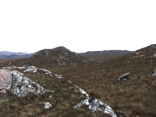
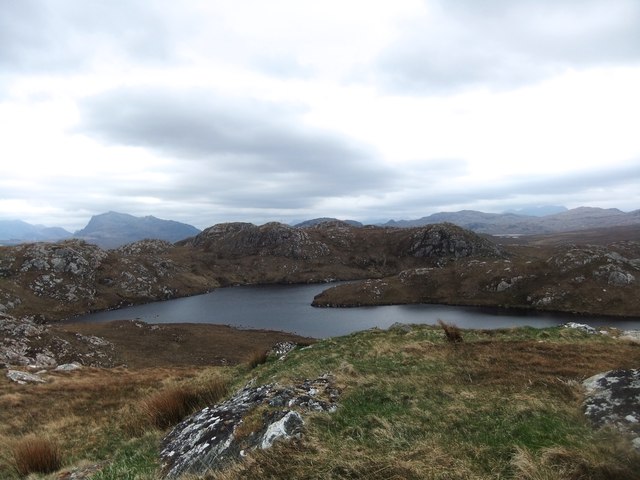
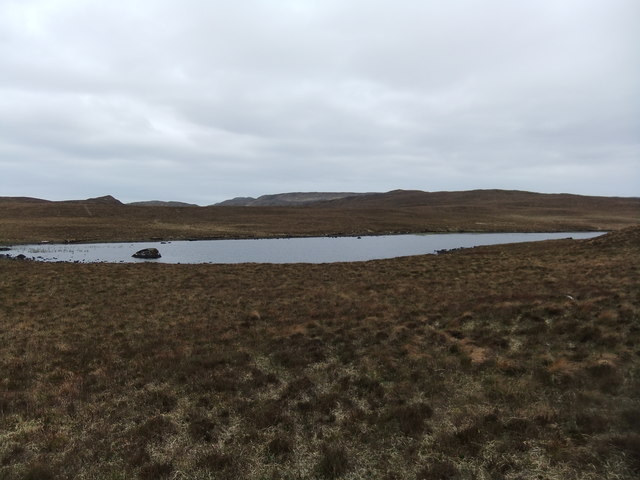
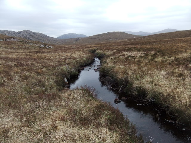
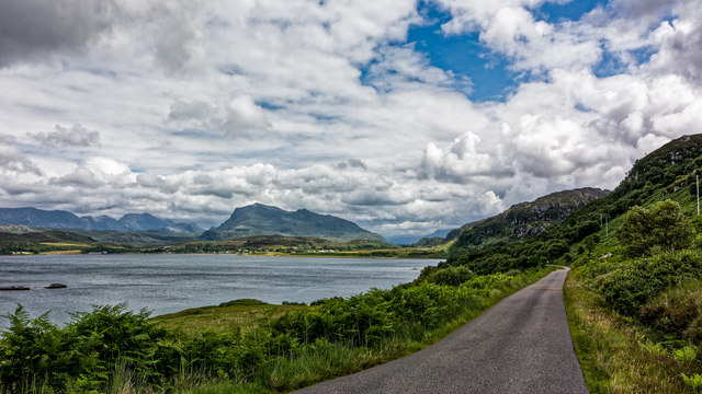
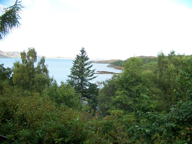
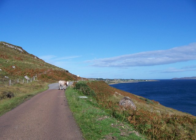
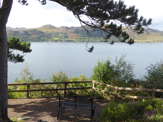
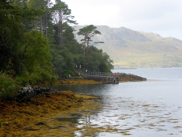
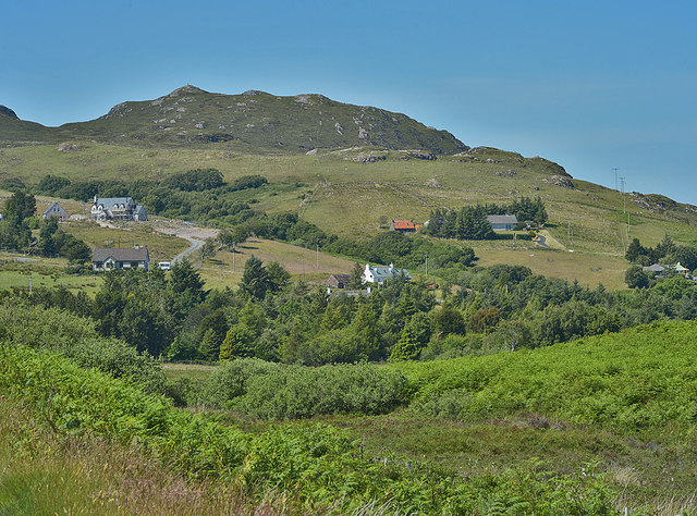
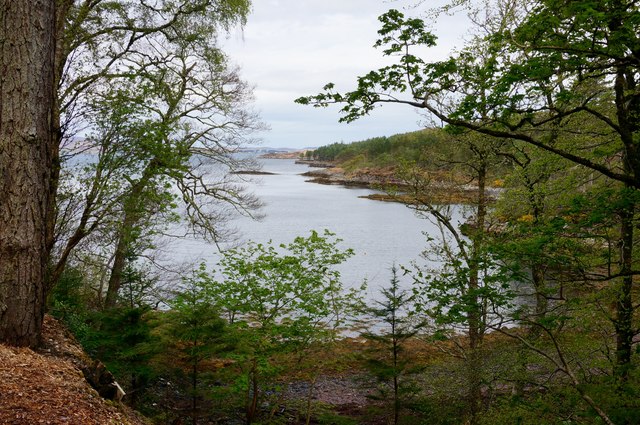
Meall Loch Chriostina is a prominent headland located in Ross-shire, Scotland. It is situated on the coast overlooking the North Sea, offering stunning panoramic views of the surrounding landscape. The headland is characterized by rugged cliffs and rocky outcrops, making it a popular destination for hikers and nature enthusiasts.

Meall Loch Chriostina is known for its diverse wildlife, with seabirds such as gannets, puffins, and guillemots often seen nesting on the cliffs. The surrounding waters are also home to a variety of marine life, including seals, dolphins, and porpoises.

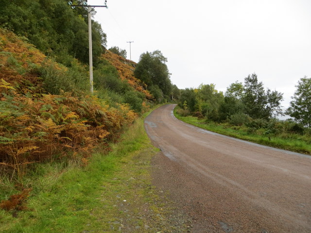
The headland is easily accessible by foot, with a network of walking trails leading visitors to the top where they can enjoy breathtaking views of the sea and coastline. The area is also steeped in history, with ancient ruins and archaeological sites scattered throughout the landscape.

Overall, Meall Loch Chriostina is a picturesque and tranquil spot that offers a unique glimpse into Scotland's rugged coastal beauty. It is a must-visit destination for anyone looking to experience the natural wonders of the Scottish coastline.

If you have any feedback on the listing, please let us know in the comments section below.

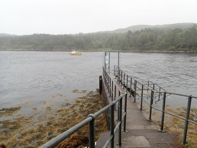
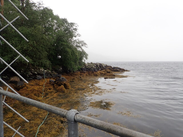
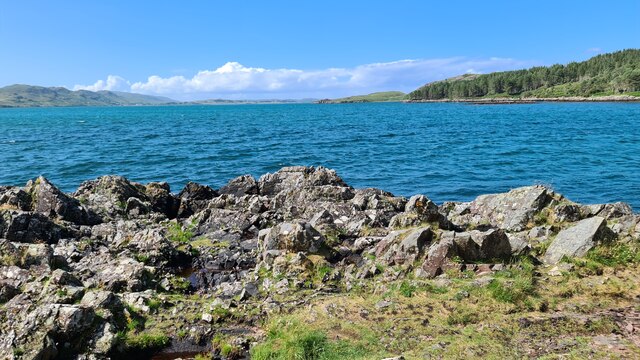
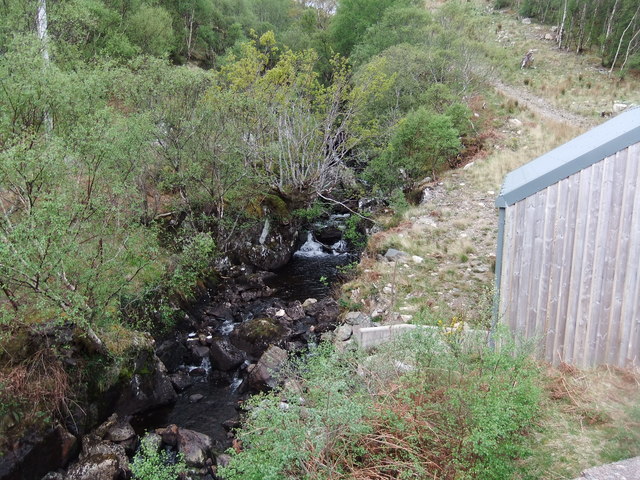
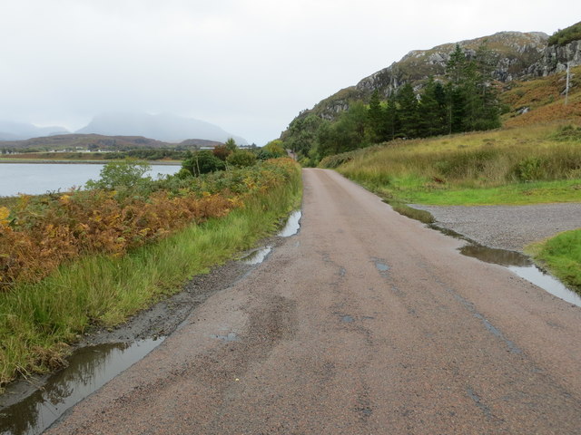
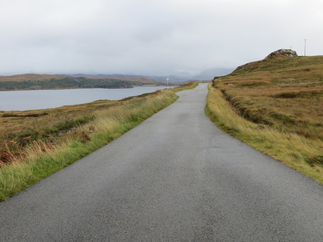
Meall Loch Chriostina Images

Images are sourced within 2km of 57.776987/-5.6417851 or Grid Reference NG8382. Thanks to Geograph Open Source API. All images are credited.

Jetty at Inverewe One hour boat trips can be taken from this jetty in the little yellow boat moored off-shore. The cruise goes along the Inverewe peninsula looking out for wildlife, then over to Boor Island and Skerries on the west of Loch Ewe to view the wildlife there
Jetty at Inverewe
One hour boat trips can be taken from this jetty in the little yellow boat moored off-shore. The cruise goes along the Inverewe peninsula looking out for wildlife, then over to Boor Island and Skerries on the west of Loch Ewe to view the wildlife there
Bladderwrack covered beach at Inverewe jetty
Loch Ewe from Inverewe Gardens
Lochboor Burn
Lochboor Burn
Boor Hill from the north
Loch Chriostina
Loch Chriostina
Loch na Cloiche
Loch na Cloiche
Tributary of Lochboor Burn
Minor road by Loch Ewe
Camas Glas from Inverewe Gardens
B8057 south of Naast
View over Loch Ewe View over the loch from the High Viewpoint on the peninsula in Inverewe Gardens.
View over Loch Ewe
View over the loch from the High Viewpoint on the peninsula in Inverewe Gardens.
Camas Glas A bay off Loch Ewe in a corner of Inverewe Gardens, showing the jetty.
Camas Glas
A bay off Loch Ewe in a corner of Inverewe Gardens, showing the jetty.
Naast from the south east
Camas Phail Looking through some of the windbreak trees, to the small bay known as Camas Phail. On the Northwest boundary of Inverewe Garden.
Camas Phail
Looking through some of the windbreak trees, to the small bay known as Camas Phail. On the Northwest boundary of Inverewe Garden.
Road (B8057) between Poolewe and Boor Looking north-westward.
Road (B8057) between Poolewe and Boor
Looking north-westward.
Road (B8057) at Boor Looking south-eastward towards Poolewe.
Road (B8057) at Boor
Looking south-eastward towards Poolewe.
Road (B8057) beside Loch Ewe between Naast and Boor Looking south-eastward.
Road (B8057) beside Loch Ewe between Naast and Boor
Looking south-eastward.
Show me another place!

Meall Loch Chriostina is located at Grid Ref: NG8382 (Lat: 57.776987, Lng: -5.6417851)

Unitary Authority: Highland

Police Authority: Highlands and Islands

What 3 Words

///closets.brief.ramps. Near Gairloch, Highland

Related Wikis

Inverewe Garden

Inverewe Garden (Scottish Gaelic: Gàradh Inbhir Iù) is a botanical garden in Wester Ross in the Scottish Highlands. It is located just to the north of...

Poolewe Stone

The Poolewe Stone is a Class-I Pictish stone discovered in 1992 in the cemetery at Poolewe (Poll Iùbh) in Wester Ross. The stone carries the common Pictish...

Poolewe

Poolewe (Scottish Gaelic: Poll Iù) is a small village in Wester Ross in the North West Highlands of Scotland, about 75 miles (120 kilometres) northwest...

Londubh

Londubh (Scottish Gaelic: An Lòn Dubh) is a village on the south shore of Loch Ewe in Poolewe, Ross-shire, Scottish Highlands and is in the Scottish council...

Nearby Amenities

Located within 500m of 57.776987,-5.6417851
Source: PGS
Lat/Long: 57.7763354/-5.6335009
Source: PGS
Lat/Long: 57.7765398/-5.6336486
Source: PGS
Lat/Long: 57.7767587/-5.6340046
Source: PGS
Lat/Long: 57.7771142/-5.6345012
Source: PGS
Lat/Long: 57.7773252/-5.6347031
Created By: almien_coastlines
Source: PGS
Lat/Long: 57.777477/-5.634916
Source: PGS
Lat/Long: 57.778334/-5.6359646
Source: PGS
Lat/Long: 57.7787014/-5.6365272
Source: PGS
Lat/Long: 57.7791859/-5.637218
Source: PGS
Lat/Long: 57.7797465/-5.6377696
Source: PGS
Lat/Long: 57.7800087/-5.6386035
Source: PGS
Lat/Long: 57.780236/-5.6387802
Source: PGS
Lat/Long: 57.7803838/-5.6389713
Created By: almien_coastlines
Source: PGS
Lat/Long: 57.780461/-5.639208
Source: PGS
Lat/Long: 57.7809797/-5.6401635
Source: PGS
Lat/Long: 57.7811025/-5.6404861
Created By: almien_coastlines
Source: PGS
Lat/Long: 57.781199/-5.6407
Source: PGS
Lat/Long: 57.7814362/-5.6409893
LAA Position
Historic: ruins
Lat/Long: 57.7778875/-5.637571
Power: pole
Lat/Long: 57.7803898/-5.6460475
Power: pole
Lat/Long: 57.7800386/-5.6450264
Power: pole
Lat/Long: 57.7796698/-5.6439571
Power: pole
Lat/Long: 57.7793098/-5.6429429
Power: pole
Lat/Long: 57.7789557/-5.6419012
Power: pole
Lat/Long: 57.7784031/-5.6402476
Power: pole
Lat/Long: 57.7779042/-5.6395283
Power: pole
Lat/Long: 57.777337/-5.6386946
Power: pole
Lat/Long: 57.776251/-5.6370989
The data included in this document is from www.openstreetmap.org. The data is made available under ODbL.

Have you been to Meall Loch Chriostina?

Leave your review of Meall Loch Chriostina below (or comments, questions and feedback).