Uchd a' Phollain Shàmhaich
Coastal Feature, Headland, Point in Ross-shire
Scotland
Uchd a' Phollain Shàmhaich
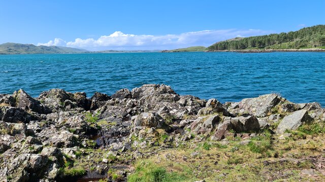
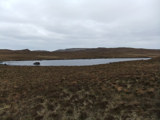
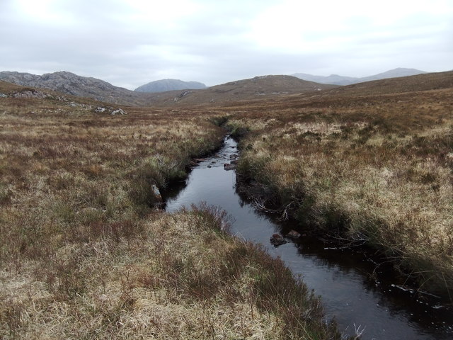
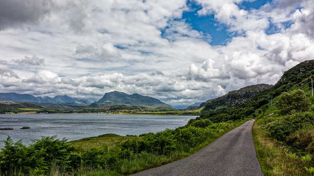
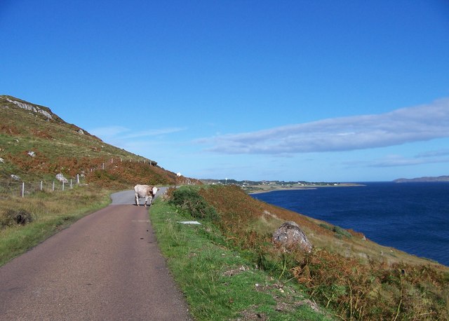
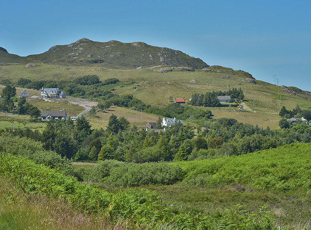
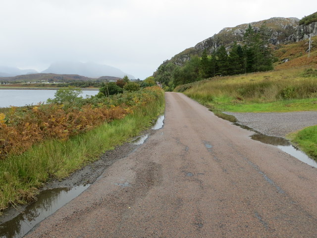
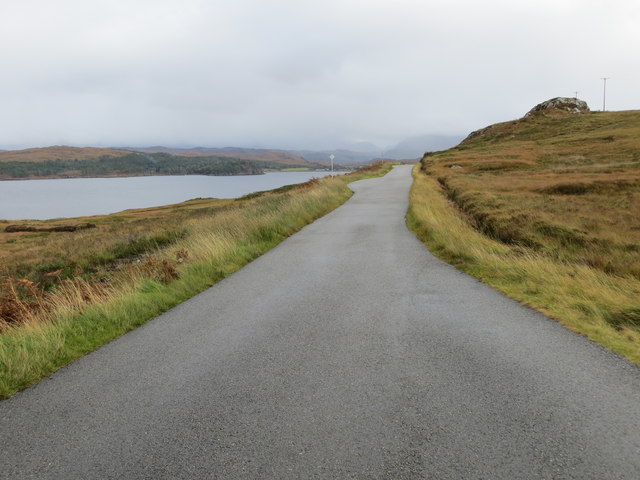
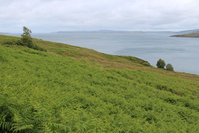
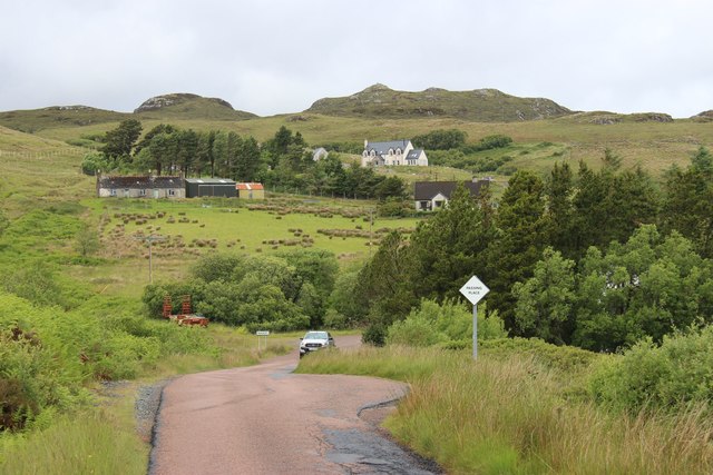
Uchd a' Phollain Shàmhaich is a picturesque headland located in Ross-shire, Scotland. The name translates to "The Beautiful Head of the Point" in Gaelic, reflecting the stunning natural beauty of the area. The headland is characterized by rugged cliffs that jut out into the sea, providing breathtaking views of the surrounding coastline.
The headland is a popular spot for hiking and birdwatching, with a variety of seabirds nesting on the cliffs and offshore rocks. Visitors can also enjoy fishing and picnicking on the rocky shores.
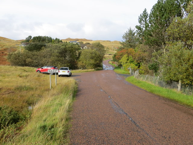
Uchd a' Phollain Shàmhaich is part of the North Coast 500 route, a scenic driving route that circles the northern Highlands of Scotland. The headland offers a peaceful retreat from the hustle and bustle of nearby towns, with its tranquil atmosphere and stunning views of the Atlantic Ocean.
Overall, Uchd a' Phollain Shàmhaich is a must-visit destination for nature lovers and outdoor enthusiasts looking to experience the wild beauty of the Scottish coast.
If you have any feedback on the listing, please let us know in the comments section below.
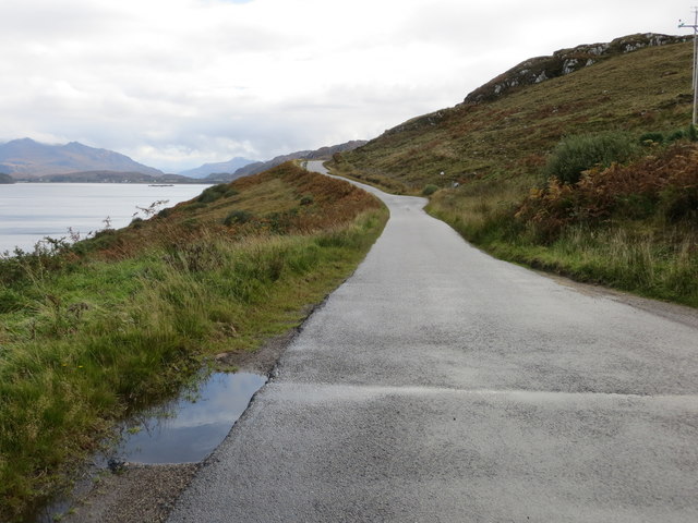
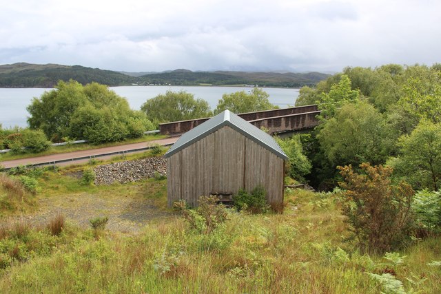
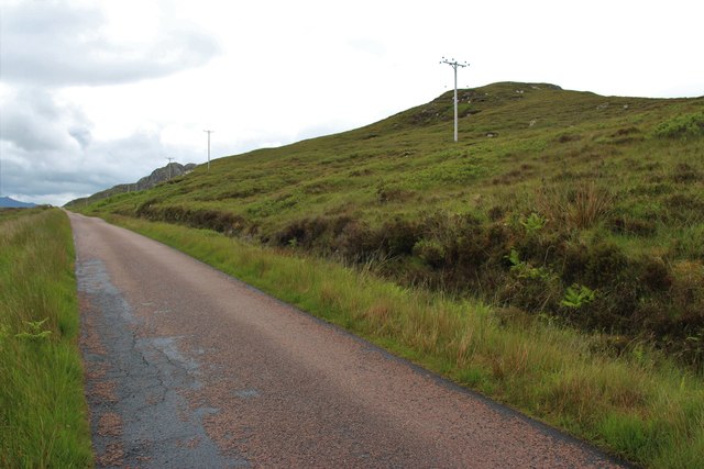
Uchd a' Phollain Shàmhaich Images
Images are sourced within 2km of 57.778564/-5.6491298 or Grid Reference NG8382. Thanks to Geograph Open Source API. All images are credited.

Uchd a' Phollain Shàmhaich is located at Grid Ref: NG8382 (Lat: 57.778564, Lng: -5.6491298)
Unitary Authority: Highland
Police Authority: Highlands and Islands
What 3 Words
///depending.ounce.pest. Near Gairloch, Highland
Related Wikis

Inverewe Garden
Inverewe Garden (Scottish Gaelic: Gàradh Inbhir Iù) is a botanical garden in Wester Ross in the Scottish Highlands. It is located just to the north of...

Poolewe Stone
The Poolewe Stone is a Class-I Pictish stone discovered in 1992 in the cemetery at Poolewe (Poll Iùbh) in Wester Ross. The stone carries the common Pictish...

Inverasdale
Inverasdale (Scottish Gaelic: Inbhir Àsdail) is a hamlet in the Northwest Highlands of Scotland, located by Loch Ewe, in the region of Wester Ross. �...

Poolewe
Poolewe (Scottish Gaelic: Poll Iù) is a small village in Wester Ross in the North West Highlands of Scotland, about 75 miles (120 kilometres) northwest...
Nearby Amenities
Located within 500m of 57.778564,-5.6491298Have you been to Uchd a' Phollain Shàmhaich?
Leave your review of Uchd a' Phollain Shàmhaich below (or comments, questions and feedback).