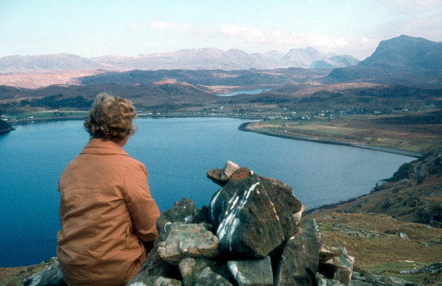
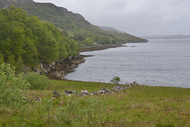
Tòrran nan Cliabh

Coastal Feature, Headland, Point in Ross-shire

Scotland

Tòrran nan Cliabh

Jetty at Inverewe One hour boat trips can be taken from this jetty in the little yellow boat moored off-shore. The cruise goes along the Inverewe peninsula looking out for wildlife, then over to Boor Island and Skerries on the west of Loch Ewe to view the wildlife there
Jetty at Inverewe Credit: Eirian Evans

The requested URL returned error: 429 Too Many Requests

If you have any feedback on the listing, please let us know in the comments section below.

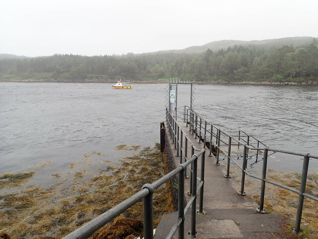
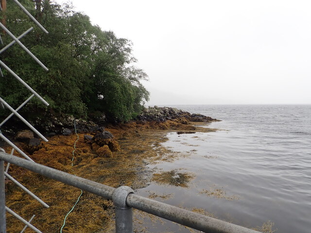
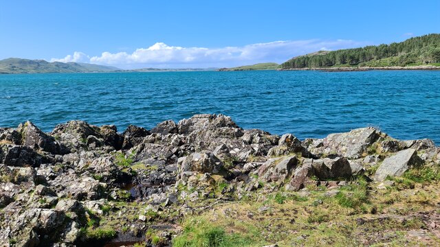
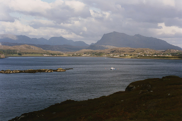
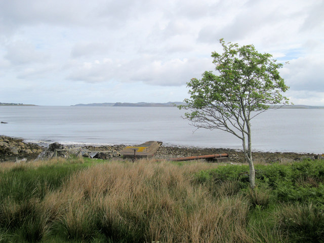
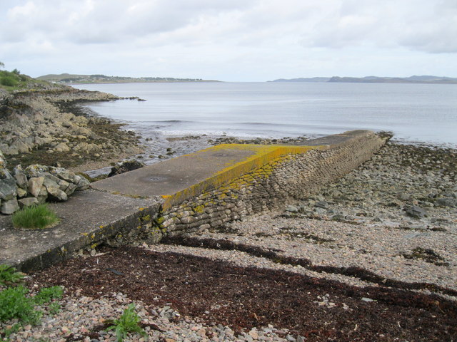
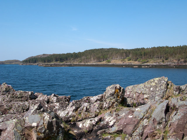
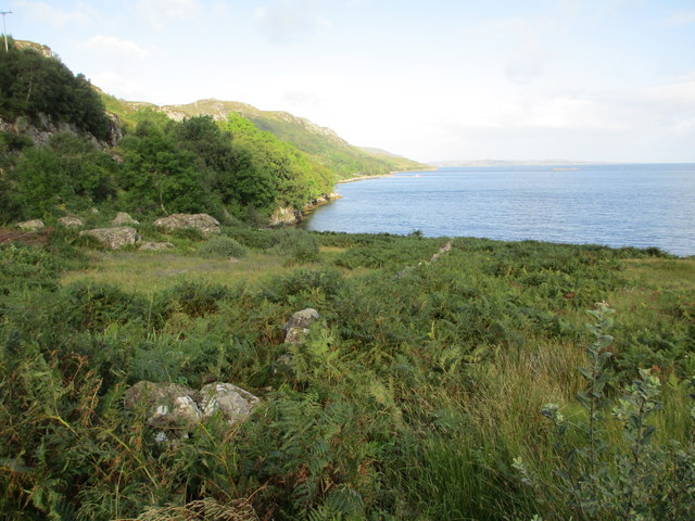
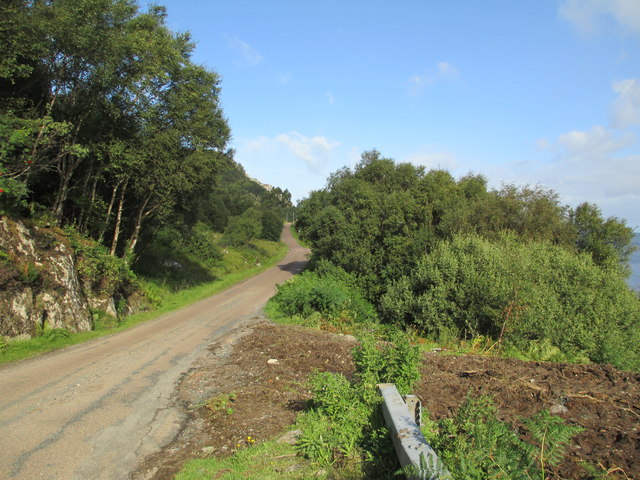
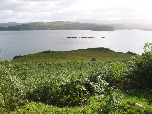
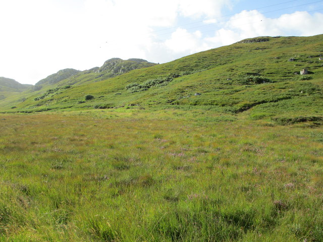
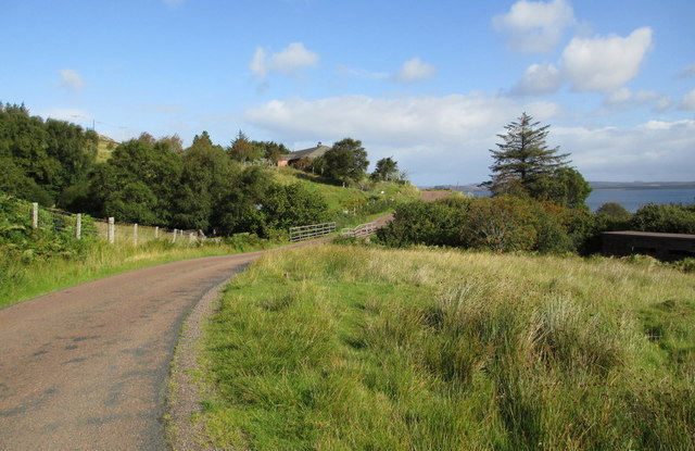
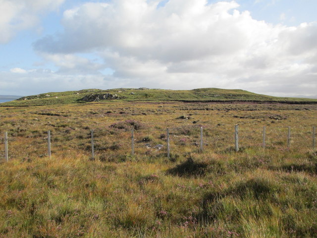
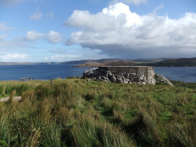
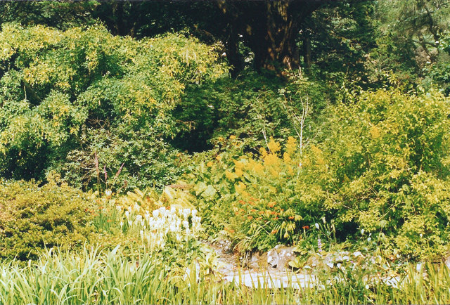
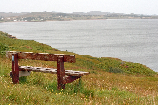
Tòrran nan Cliabh Images

Images are sourced within 2km of 57.778624/-5.6408058 or Grid Reference NG8382. Thanks to Geograph Open Source API. All images are credited.

Jetty at Inverewe One hour boat trips can be taken from this jetty in the little yellow boat moored off-shore. The cruise goes along the Inverewe peninsula looking out for wildlife, then over to Boor Island and Skerries on the west of Loch Ewe to view the wildlife there
Jetty at Inverewe
One hour boat trips can be taken from this jetty in the little yellow boat moored off-shore. The cruise goes along the Inverewe peninsula looking out for wildlife, then over to Boor Island and Skerries on the west of Loch Ewe to view the wildlife there
Bladderwrack covered beach at Inverewe jetty
Loch Ewe from Inverewe Gardens
View over Loch Ewe With Poolewe on the other side. Beinn Airigh Charr is the mountain on the right, while the remote Munro of A' Mhaighdean can be seen in the distance left of centre.
View over Loch Ewe
With Poolewe on the other side. Beinn Airigh Charr is the mountain on the right, while the remote Munro of A' Mhaighdean can be seen in the distance left of centre.
Naast jetty This jetty in Loch Ewe was built in WW2 for resupplying Russian Convoy ships. It appears to be constructed of sandbags, or bags of cement.
Naast jetty
This jetty in Loch Ewe was built in WW2 for resupplying Russian Convoy ships. It appears to be constructed of sandbags, or bags of cement.
Naast Jetty This jetty was built in WW2 for resupplying Russian Convoy ships. It appears to be constructed of sandbags, or bags of cement.
Naast Jetty
This jetty was built in WW2 for resupplying Russian Convoy ships. It appears to be constructed of sandbags, or bags of cement.
Camas Glas Camas Glas, a bay of the sea loch, Loch Ewe as seen from a promontory in the Scottish National Trust property, Inverewe Gardens. The coniferous plantation is outside the Trust garden and property.
Camas Glas
Camas Glas, a bay of the sea loch, Loch Ewe as seen from a promontory in the Scottish National Trust property, Inverewe Gardens. The coniferous plantation is outside the Trust garden and property.
The shore of Loch Ewe
B8057 towards Cove A single track road with passing places along the shore of Loch Ewe.
B8057 towards Cove
A single track road with passing places along the shore of Loch Ewe.
Overlooking Loch Ewe With Boor Rocks in the distance.
Overlooking Loch Ewe
With Boor Rocks in the distance.
Druim Barraich Peat bog near here shows signs of earlier working.
Druim Barraich
Peat bog near here shows signs of earlier working.
B8057 at Naast
B8057 at Naast
Peat bog near Naast
Peat bog near Naast
Gun emplacement by Loch Ewe A solid block of concrete on which sat a large gun
Gun emplacement by Loch Ewe
A solid block of concrete on which sat a large gun
Inverewe Gardens - A bosky path Once the showy magnificence of the Rhododendron species is over their foliage provides a backdrop for fern species,ornamental grasses, Crocosmia and Hosta.
Inverewe Gardens - A bosky path
Once the showy magnificence of the Rhododendron species is over their foliage provides a backdrop for fern species,ornamental grasses, Crocosmia and Hosta.
Seat Overlooking Loch Ewe With Inverasdale Coast in the background.
Seat Overlooking Loch Ewe
With Inverasdale Coast in the background.
On Boor Hill looking towards Poolewe
View up the Loch Ewe coast Looking up the western side of the sea loch from the south west corner.
View up the Loch Ewe coast
Looking up the western side of the sea loch from the south west corner.
Show me another place!

Tòrran nan Cliabh is located at Grid Ref: NG8382 (Lat: 57.778624, Lng: -5.6408058)

Unitary Authority: Highland

Police Authority: Highlands and Islands

What 3 Words

///engage.reverses.dreaming. Near Gairloch, Highland

Related Wikis

Inverewe Garden

Inverewe Garden (Scottish Gaelic: Gàradh Inbhir Iù) is a botanical garden in Wester Ross in the Scottish Highlands. It is located just to the north of...

Poolewe Stone

The Poolewe Stone is a Class-I Pictish stone discovered in 1992 in the cemetery at Poolewe (Poll Iùbh) in Wester Ross. The stone carries the common Pictish...

Poolewe

Poolewe (Scottish Gaelic: Poll Iù) is a small village in Wester Ross in the North West Highlands of Scotland, about 75 miles (120 kilometres) northwest...

Londubh

Londubh (Scottish Gaelic: An Lòn Dubh) is a village on the south shore of Loch Ewe in Poolewe, Ross-shire, Scottish Highlands and is in the Scottish council...

Nearby Amenities

Located within 500m of 57.778624,-5.6408058
Source: PGS
Lat/Long: 57.7765398/-5.6336486
Source: PGS
Lat/Long: 57.7767587/-5.6340046
Source: PGS
Lat/Long: 57.7771142/-5.6345012
Source: PGS
Lat/Long: 57.7773252/-5.6347031
Created By: almien_coastlines
Source: PGS
Lat/Long: 57.777477/-5.634916
Source: PGS
Lat/Long: 57.778334/-5.6359646
Source: PGS
Lat/Long: 57.7787014/-5.6365272
Source: PGS
Lat/Long: 57.7791859/-5.637218
Source: PGS
Lat/Long: 57.7797465/-5.6377696
Source: PGS
Lat/Long: 57.7800087/-5.6386035
Source: PGS
Lat/Long: 57.780236/-5.6387802
Source: PGS
Lat/Long: 57.7803838/-5.6389713
Created By: almien_coastlines
Source: PGS
Lat/Long: 57.780461/-5.639208
Source: PGS
Lat/Long: 57.7809797/-5.6401635
Source: PGS
Lat/Long: 57.7811025/-5.6404861
Created By: almien_coastlines
Source: PGS
Lat/Long: 57.781199/-5.6407
Source: PGS
Lat/Long: 57.7814362/-5.6409893
Source: PGS
Lat/Long: 57.7816422/-5.6416285
Created By: almien_coastlines
Source: PGS
Lat/Long: 57.781926/-5.642671
Source: PGS
Lat/Long: 57.7824961/-5.6434189
LAA Position
Historic: ruins
Lat/Long: 57.7778875/-5.637571
Power: pole
Lat/Long: 57.7807454/-5.6470865
Power: pole
Lat/Long: 57.7803898/-5.6460475
Power: pole
Lat/Long: 57.7800386/-5.6450264
Power: pole
Lat/Long: 57.7796698/-5.6439571
Power: pole
Lat/Long: 57.7793098/-5.6429429
Power: pole
Lat/Long: 57.7789557/-5.6419012
Power: pole
Lat/Long: 57.7784031/-5.6402476
Power: pole
Lat/Long: 57.7779042/-5.6395283
Power: pole
Lat/Long: 57.777337/-5.6386946
Power: pole
Lat/Long: 57.776251/-5.6370989
The data included in this document is from www.openstreetmap.org. The data is made available under ODbL.

Have you been to Tòrran nan Cliabh?

Leave your review of Tòrran nan Cliabh below (or comments, questions and feedback).