A' Bhratag

Coastal Feature, Headland, Point in Argyllshire

Scotland

A' Bhratag

Causeway to Island of Danna, Knapdale This is the causeway that joins the Island of Danna to the Taynish peninsula in Knapdale.
Causeway to Island of Danna, Knapdale Credit: S C Grove

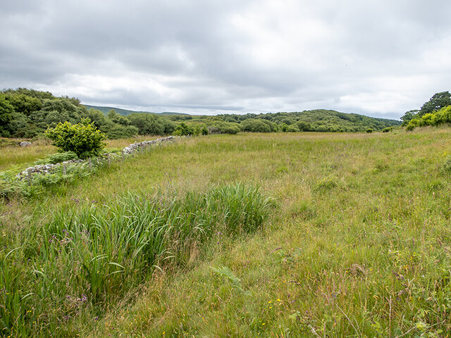
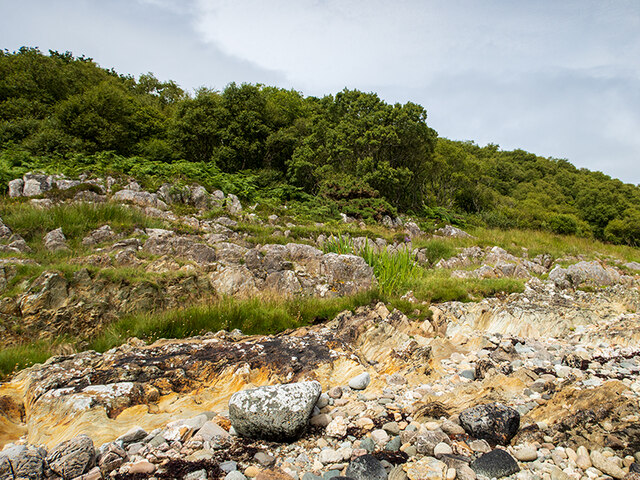
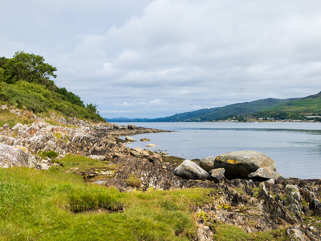
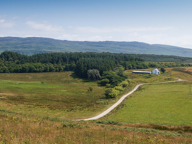
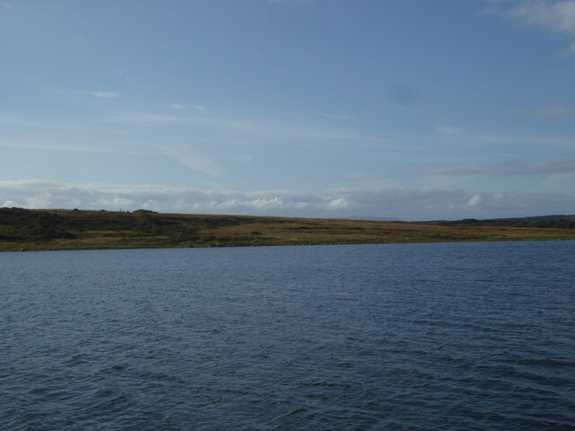
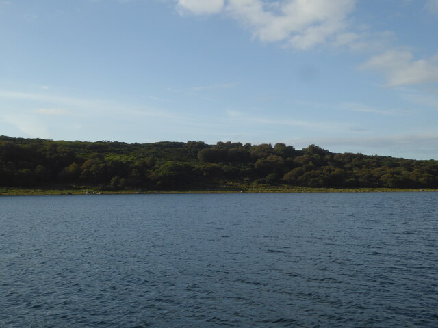
A' Bhratag is a prominent coastal feature located in Argyllshire, Scotland. This headland, also known as The Point, is situated on the western coast, facing the Atlantic Ocean. It is a picturesque and rugged landscape, characterized by towering cliffs, rocky outcrops, and stunning coastal views.

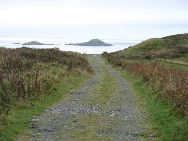
The headland offers a dramatic vantage point, providing breathtaking vistas of the surrounding sea and the distant islands. The cliffs at A' Bhratag are renowned for their impressive height, with some reaching up to 100 meters. These cliffs serve as nesting grounds for various seabird species, including puffins, guillemots, and kittiwakes, making it a popular spot for birdwatchers.

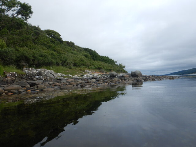
The rugged terrain of A' Bhratag is also home to a diverse range of flora and fauna. The exposed coastal environment supports a variety of plant species, such as sea pink, thrift, and sea campion, which add vibrant colors to the landscape. The surrounding waters are teeming with marine life, including seals, dolphins, and porpoises, further enhancing the natural beauty of the area.

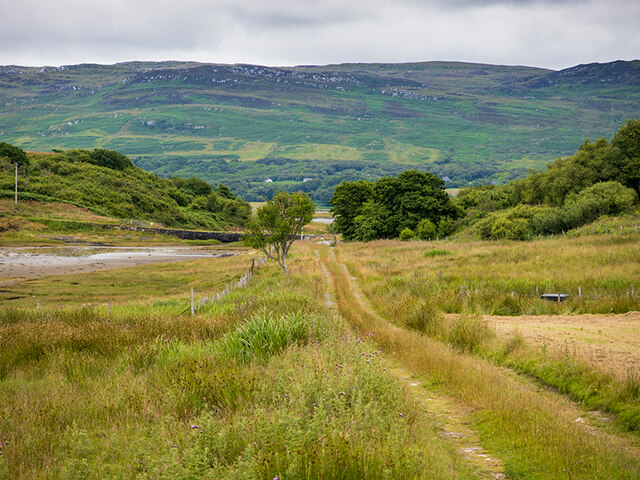
Visitors to A' Bhratag can enjoy scenic walks along the cliff tops, taking in the breathtaking coastal scenery. The headland is accessible via a well-maintained footpath that leads from the nearby village of Argyllshire. There are also several viewpoints and picnic areas along the route, allowing visitors to relax and savor the stunning surroundings.

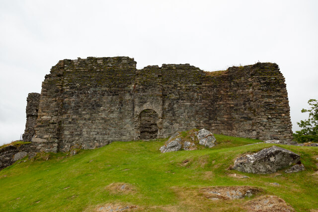
A' Bhratag is not only a natural gem but also holds historical significance. The headland has witnessed countless maritime events and shipwrecks over the centuries. Today, remnants of old lighthouses and navigational aids can still be seen, serving as a reminder of the area's maritime past.

In conclusion, A' Bhratag is a captivating coastal feature in Argyllshire, offering rugged cliffs, diverse wildlife, and stunning views. Whether for bird

If you have any feedback on the listing, please let us know in the comments section below.
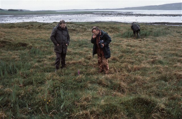
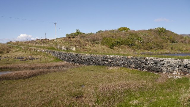
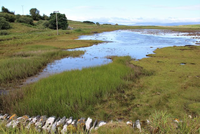
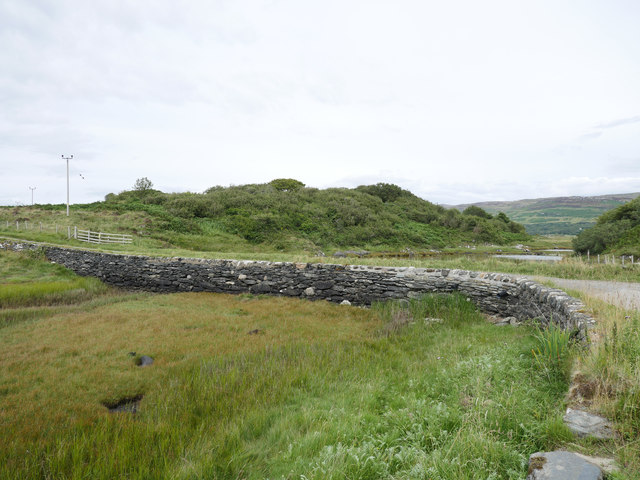
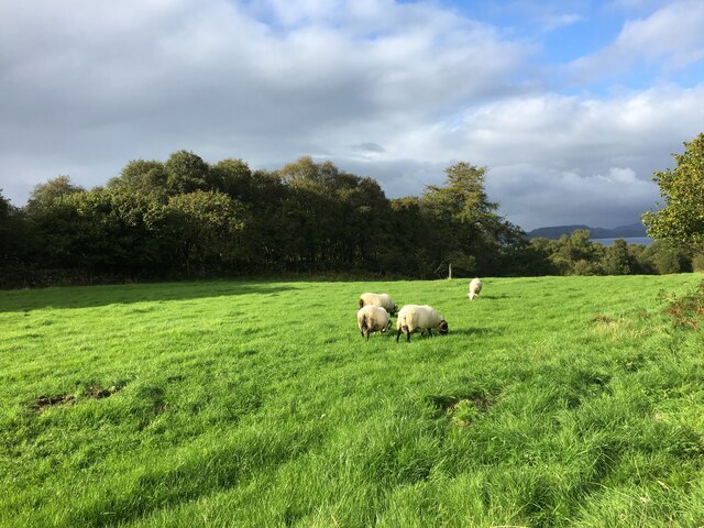
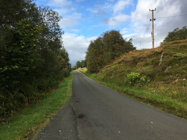
A' Bhratag Images

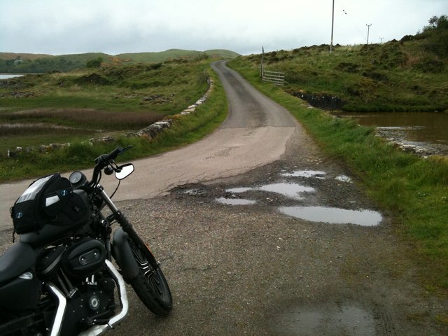
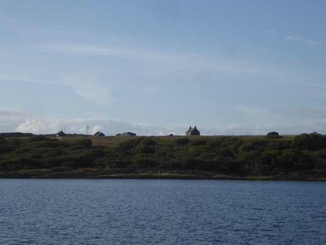
Images are sourced within 2km of 55.946617/-5.6671927 or Grid Reference NR7178. Thanks to Geograph Open Source API. All images are credited.

Causeway to Island of Danna, Knapdale This is the causeway that joins the Island of Danna to the Taynish peninsula in Knapdale.
Causeway to Island of Danna, Knapdale
This is the causeway that joins the Island of Danna to the Taynish peninsula in Knapdale.
The main track on Danna Offshore can be seen the islands of Eilean Ghamhna (left, in <a href="https://www.geograph.org.uk/gridref/NR6875">NR6875</a>) and Corr Eilean (in <a href="https://www.geograph.org.uk/gridref/NR6775">NR6775</a>).
The main track on Danna
Offshore can be seen the islands of Eilean Ghamhna (left, in NR6875) and Corr Eilean (in NR6775).
Buildings on the Island of Danna
Southeast coast of the Island of Danna This southeast side of Danna rises steeply for a short way above the waters of Loch Sween and has a narrow band of woodland right down to tidewater. The Loch itself is very sheltered and at this point has very little tidal flow, but further up is characterised by a double high tide as the rising tide is reflected from the inland end and travels back down.
Southeast coast of the Island of Danna
This southeast side of Danna rises steeply for a short way above the waters of Loch Sween and has a narrow band of woodland right down to tidewater. The Loch itself is very sheltered and at this point has very little tidal flow, but further up is characterised by a double high tide as the rising tide is reflected from the inland end and travels back down.
Looking for butterflies Members of the British Butterfly Conservation Society (now called Butterfly Conservation) looking for signs of marsh fritillary butterflies in the area between the road and the shore, just north of the causeway over to the Island of Danna. 
The late Gerry Rodway (with camera) is looking at an orchid in front of him. Gerry was the curator in charge of the orchid collection at Glasgow Botanic gardens for many years.
Looking for butterflies
Members of the British Butterfly Conservation Society (now called Butterfly Conservation) looking for signs of marsh fritillary butterflies in the area between the road and the shore, just north of the causeway over to the Island of Danna. The late Gerry Rodway (with camera) is looking at an orchid in front of him. Gerry was the curator in charge of the orchid collection at Glasgow Botanic gardens for many years.
Danna causeway A short stone structure across the tidal channel which separates Danna from the Knapdale mainland.
Danna causeway
A short stone structure across the tidal channel which separates Danna from the Knapdale mainland.
Tidal channel at Island of Danna
The causeway at the Island of Danna The stone causeway permits access to the Island of Danna (right) from the Tayvallich peninsula (left).  This image was taken at low tide.

This photograph was taken during the Coronavirus (COVID-19) pandemic of 2020.
The causeway at the Island of Danna
The stone causeway permits access to the Island of Danna (right) from the Tayvallich peninsula (left). This image was taken at low tide. This photograph was taken during the Coronavirus (COVID-19) pandemic of 2020.
Rough grazing on the Island of Danna Between Druim Sandys on the left and Druim Clachan on the right.
Rough grazing on the Island of Danna
Between Druim Sandys on the left and Druim Clachan on the right.
The Loch Sween shore of the Island of Danna Annoyingly, I intended this to be a geograph, but didn't accurately check my location before taking the photograph and ended up too far south. Every day's a school day.
The Loch Sween shore of the Island of Danna
Annoyingly, I intended this to be a geograph, but didn't accurately check my location before taking the photograph and ended up too far south. Every day's a school day.
The Loch Sween shore of the Island of Danna
Track from Port nan Gallan The public road crosses the causeway from the mainland to the left, on to the Island of Danna, and ends at the gate ahead.
Track from Port nan Gallan
The public road crosses the causeway from the mainland to the left, on to the Island of Danna, and ends at the gate ahead.
Mid Danna from Cnoc na Faire
Western shore of Loch Sween
Wooded shore of Loch Sween
Castle Sween Castle Sween is located on the coast of Loch Sween in Knapdale, Argyll & Bute, Scotland. It is the oldest stone castle in Scotland, built in the late 11th century by Suibhne, son of Hugh Hanrahan, High King of Ireland, from whom it takes its name Suibhne.
Castle Sween
Castle Sween is located on the coast of Loch Sween in Knapdale, Argyll & Bute, Scotland. It is the oldest stone castle in Scotland, built in the late 11th century by Suibhne, son of Hugh Hanrahan, High King of Ireland, from whom it takes its name Suibhne.
Sheep grazing in field with cross slab
Minor road near Castlesween
Show me another place!

A' Bhratag is located at Grid Ref: NR7178 (Lat: 55.946617, Lng: -5.6671927)

Unitary Authority: Argyll and Bute

Police Authority: Argyll and West Dunbartonshire

What 3 Words

///chapels.objective.freezing. Near Ardrishaig, Argyll & Bute

Related Wikis

Island of Danna

The Island of Danna or Danna (Scottish Gaelic: Danna), is an inhabited tidal island in Argyll and Bute. == Geography == It is connected to the mainland...

Keills Chapel

Keills Chapel is a small chapel located in the west Highlands, Scotland, near the village of Tayvallich, Knapdale.The chapel dates from the 11th century...

Loch Sween

Loch Sween (Scottish Gaelic: Loch Suain or Loch Suibhne) is a sea loch located near Lochgilphead, Argyll and Bute, Scotland. Castle Sween is located on...

Kilmory Knap Chapel

Kilmory Knap Chapel is a 13th-century Christian chapel, located at the tiny hamlet of Kilmory, in Knapdale, Argyll and Bute, on the west coast of Scotland...

Nearby Amenities

Located within 500m of 55.946617,-5.6671927
Source: PGS
Lat/Long: 55.9504004/-5.6640137
Source: PGS
Lat/Long: 55.950188/-5.6642709
Source: PGS
Lat/Long: 55.9500243/-5.6643168
Source: PGS
Lat/Long: 55.9499675/-5.6644369
Source: PGS
Lat/Long: 55.9498528/-5.6644576
Source: PGS
Lat/Long: 55.9493318/-5.6651941
Source: PGS
Lat/Long: 55.9490073/-5.665494
Source: PGS
Lat/Long: 55.9487779/-5.6658437
Source: PGS
Lat/Long: 55.948475/-5.6661283
Source: PGS
Lat/Long: 55.9474715/-5.6664853
Source: PGS
Lat/Long: 55.9472013/-5.6667667
Source: PGS
Lat/Long: 55.946628/-5.6670945
Source: PGS
Lat/Long: 55.9465458/-5.6667581
Source: PGS
Lat/Long: 55.945777/-5.665918
Source: PGS
Lat/Long: 55.9452723/-5.6657381
Source: PGS
Lat/Long: 55.944813/-5.6659119
Source: PGS
Lat/Long: 55.9443412/-5.6668426
Source: PGS
Lat/Long: 55.9440207/-5.6672836
Source: PGS
Lat/Long: 55.9437139/-5.6675869
Source: PGS
Lat/Long: 55.9433344/-5.6681491
Source: PGS
Lat/Long: 55.942936/-5.6687049
Source: PGS
Lat/Long: 55.9425114/-5.6693196
Barrier: cattle_grid
Lat/Long: 55.9463782/-5.659215
Source: PGS
Lat/Long: 55.946897/-5.6670274
Passing Place
Lat/Long: 55.9447882/-5.6615673
Passing Place
Lat/Long: 55.9431259/-5.663747
Passing Place
Lat/Long: 55.9425151/-5.6643282
Castle Well
Man Made: water_well
Lat/Long: 55.9479391/-5.665366
Power: pole
Lat/Long: 55.9482172/-5.6608499
Power: pole
Lat/Long: 55.9477758/-5.661542
Power: pole
Lat/Long: 55.9464681/-5.6624312
Power: pole
Lat/Long: 55.9444443/-5.6637579
Power: pole
Lat/Long: 55.9432111/-5.6645756
Power: pole
Lat/Long: 55.9425987/-5.6649936
Power: pole
Lat/Long: 55.9438367/-5.6641608
Power: pole
Lat/Long: 55.9448655/-5.6634818
Power: pole
Lat/Long: 55.945337/-5.6631727
Power: pole
Lat/Long: 55.9459746/-5.6627547
Power: pole
Lat/Long: 55.9471145/-5.6619917
Power: pole
Lat/Long: 55.9486718/-5.6601715
Passing Place
Lat/Long: 55.9453008/-5.660626
Passing Place
Lat/Long: 55.9437988/-5.6628616
The data included in this document is from www.openstreetmap.org. The data is made available under ODbL.

Have you been to A' Bhratag?

Leave your review of A' Bhratag below (or comments, questions and feedback).