Geodha na Sgalaig
Coastal Feature, Headland, Point in Ross-shire
Scotland
Geodha na Sgalaig
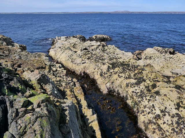
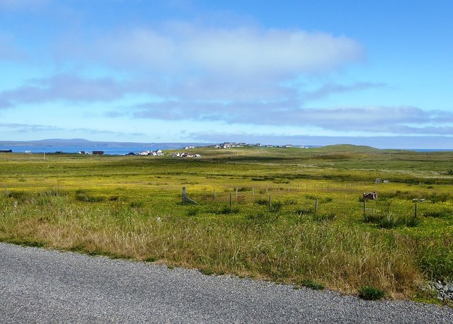
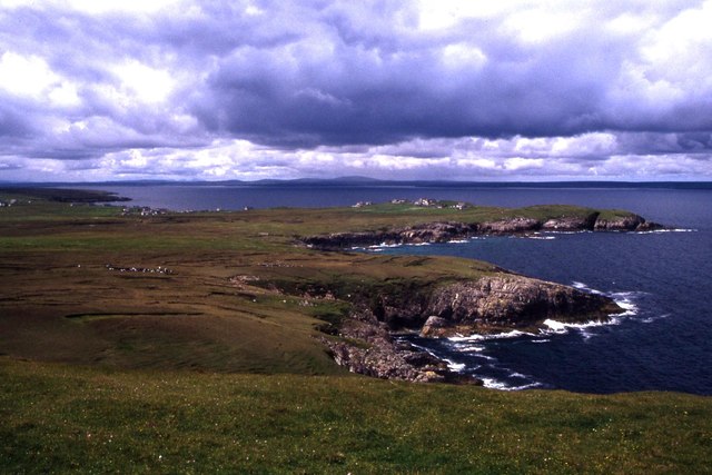
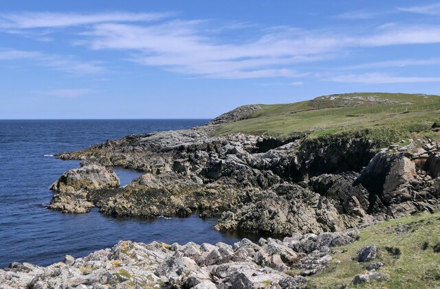
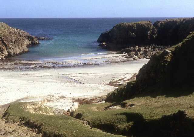
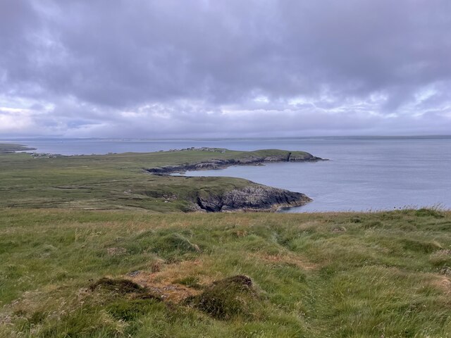
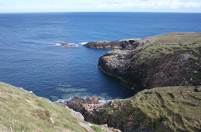
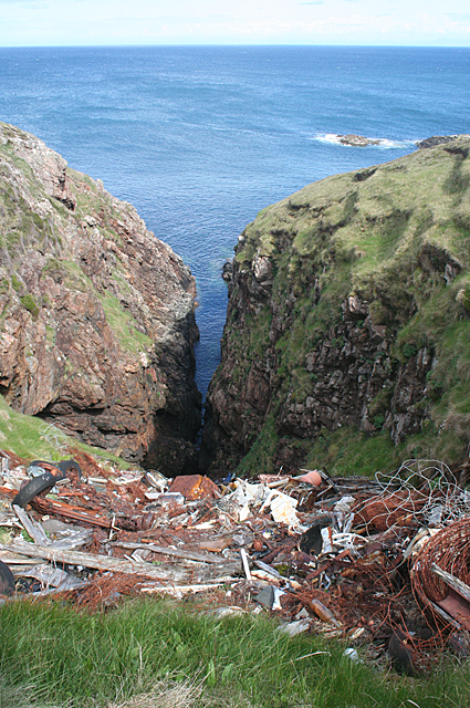
Geodha na Sgalaig is a prominent coastal feature located in Ross-shire, Scotland. This headland, also known as the Point of the Skull, juts out into the North Sea, offering stunning views of the surrounding landscape. The rocky cliffs of Geodha na Sgalaig are a popular destination for hikers and nature enthusiasts, providing a unique vantage point to observe the rugged coastline and the vast expanse of the sea.
The name "Geodha na Sgalaig" is derived from Gaelic, with "Geodha" meaning "cove" and "Sgalaig" meaning "skull." This intriguing name adds to the mystique and allure of the location, attracting visitors who are curious about its history and significance.
The headland is also home to a variety of wildlife, including seabirds and marine life, making it a prime spot for birdwatching and nature photography. The dramatic cliffs and crashing waves create a dynamic and ever-changing landscape, drawing in visitors who appreciate the raw beauty and power of nature.
Overall, Geodha na Sgalaig is a must-visit destination for those seeking a unique and memorable coastal experience in Ross-shire.
If you have any feedback on the listing, please let us know in the comments section below.
Geodha na Sgalaig Images
Images are sourced within 2km of 58.256447/-6.1376038 or Grid Reference NB5737. Thanks to Geograph Open Source API. All images are credited.
Geodha na Sgalaig is located at Grid Ref: NB5737 (Lat: 58.256447, Lng: -6.1376038)
Unitary Authority: Na h-Eileanan an Iar
Police Authority: Highlands and Islands
What 3 Words
///lordship.farmer.race. Near North Tolsta, Na h-Eileanan Siar
Nearby Locations
Related Wikis

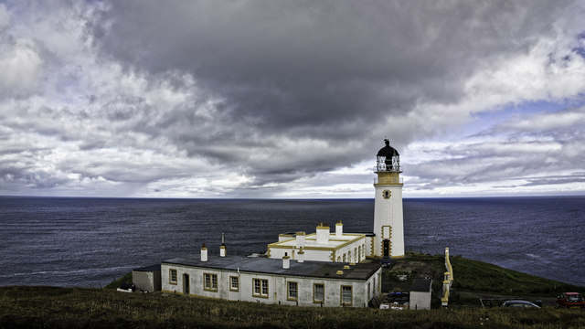
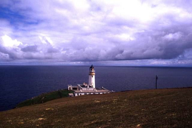
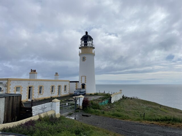
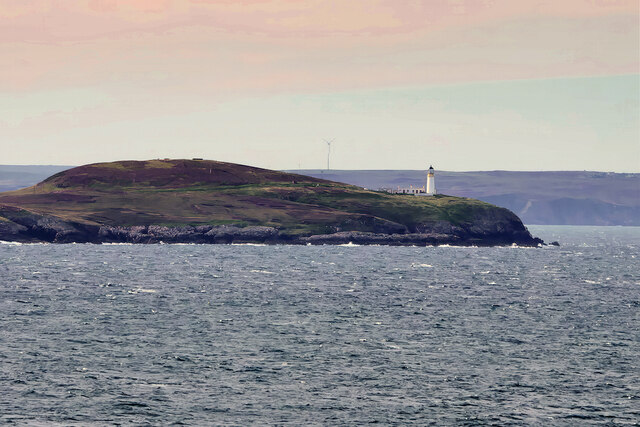
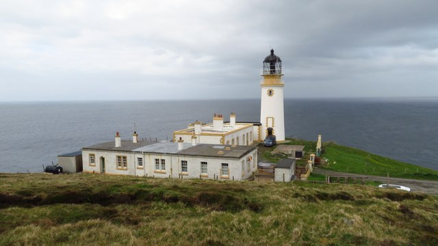
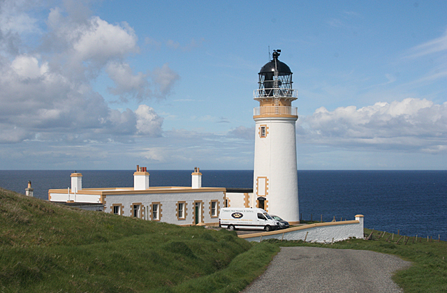
Tiumpan Head Lighthouse
The Tiumpan Head Lighthouse is an active lighthouse located in Tiumpan Head, Isle of Lewis, Outer Hebrides, Scotland. == History == The idea for the Tiumpan...

Portvoller
Portvoller (Scottish Gaelic: Port Mholair) is a small village on the north tip of the Eye Peninsula (which along with Melbost and Parkend makes up Point...

Portnaguran
Portnaguran (Scottish Gaelic: Port nan Giùran) is a settlement situated within Point, on the Isle of Lewis, in the Outer Hebrides, Scotland. Portnaguran...

Broker, Lewis
Broker (Scottish Gaelic: Brocair) is a small hamlet next to the village of Portvoller and Portnaguran on the Eye Peninsula located on the east side of...
Nearby Amenities
Located within 500m of 58.256447,-6.1376038Have you been to Geodha na Sgalaig?
Leave your review of Geodha na Sgalaig below (or comments, questions and feedback).