Bacaile Dhuilich
Coastal Feature, Headland, Point in Ross-shire
Scotland
Bacaile Dhuilich
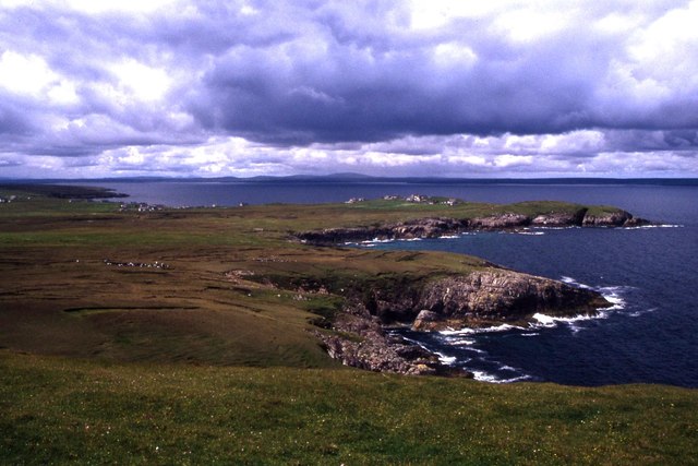
Bacaile Dhuilich is a prominent coastal feature located in the county of Ross-shire, Scotland. Situated on the western coast of the Highlands, it is categorized as a headland or point, jutting out into the North Atlantic Ocean. The name "Bacaile Dhuilich" is of Gaelic origin, meaning "black bay" in English.
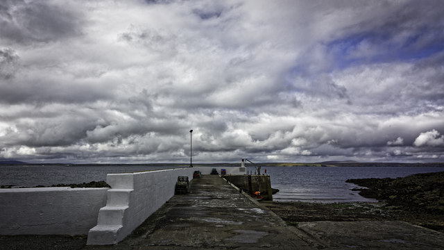
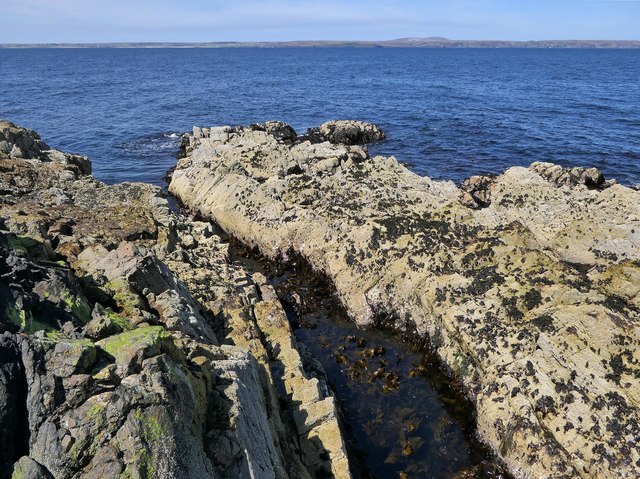
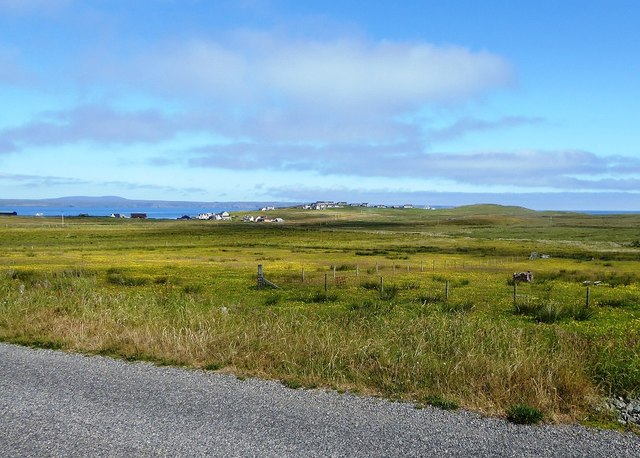
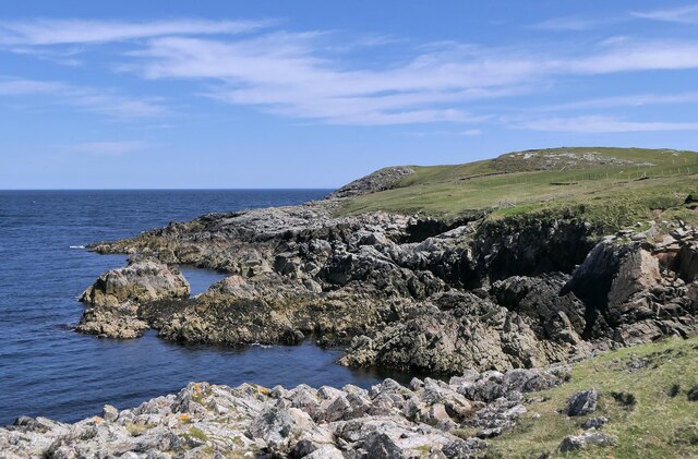
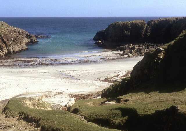
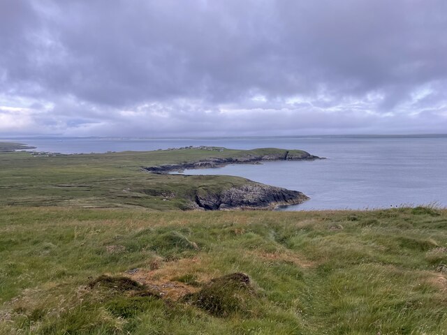
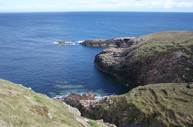
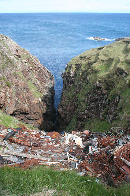
This headland is characterized by its rugged and rocky terrain, typical of the Scottish coastline. It boasts impressive cliffs that drop sharply into the sea, providing breathtaking panoramic views of the surrounding area. The jagged rocks, formed over millions of years through erosion, add to the dramatic beauty of the landscape.
Bacaile Dhuilich is known for its rich biodiversity, with a variety of marine and bird species calling it home. Seals and dolphins can often be spotted swimming in the waters nearby, while seabirds like puffins, guillemots, and razorbills nest on the cliffs. The headland also serves as an important breeding ground for several bird species, attracting birdwatchers and nature enthusiasts.
Access to Bacaile Dhuilich is relatively easy, with a well-maintained coastal path that allows visitors to explore the area on foot. The headland is a popular spot for hiking and photography, offering stunning vistas at every turn. It is advisable to take caution when navigating the cliffs due to their steep nature and unstable terrain.
Bacaile Dhuilich is not only a natural wonder but also holds historical significance. Ruins of ancient settlements and structures can be found in the vicinity, providing a glimpse into the area's past.
Overall, Bacaile Dhuilich is a captivating coastal feature, offering a blend of natural beauty, wildlife, and history. It is a must-visit destination for those seeking an authentic Scottish coastal experience.
If you have any feedback on the listing, please let us know in the comments section below.
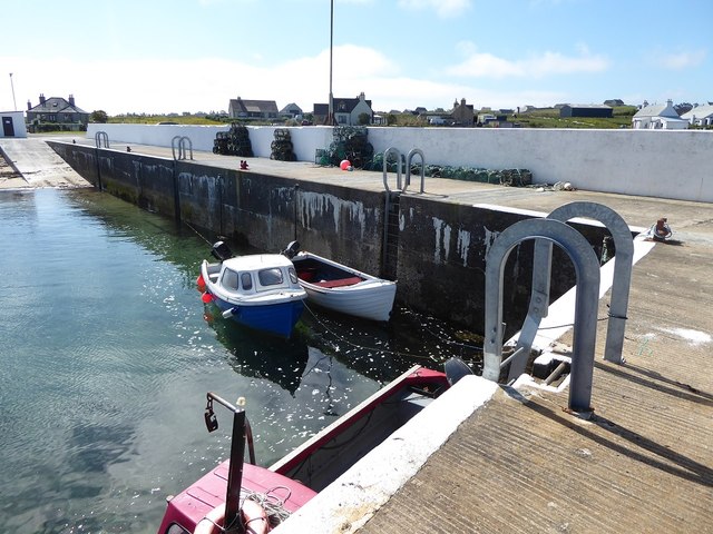
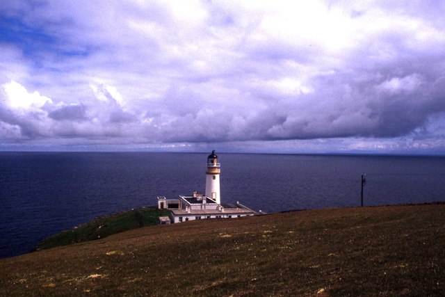
Bacaile Dhuilich Images
Images are sourced within 2km of 58.261403/-6.1378071 or Grid Reference NB5737. Thanks to Geograph Open Source API. All images are credited.
Bacaile Dhuilich is located at Grid Ref: NB5737 (Lat: 58.261403, Lng: -6.1378071)
Unitary Authority: Na h-Eileanan an Iar
Police Authority: Highlands and Islands
What 3 Words
///airliners.roofed.dumps. Near North Tolsta, Na h-Eileanan Siar
Nearby Locations
Related Wikis

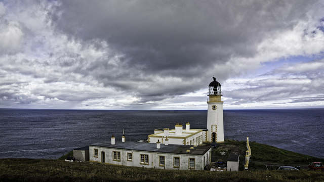
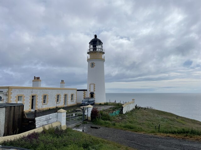
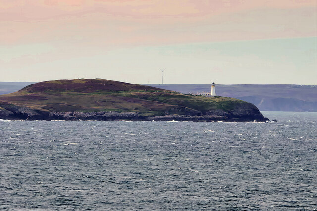
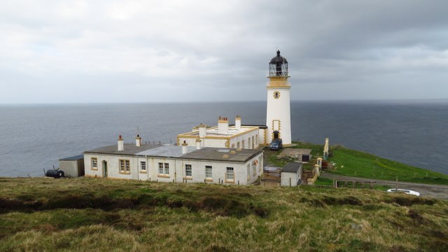
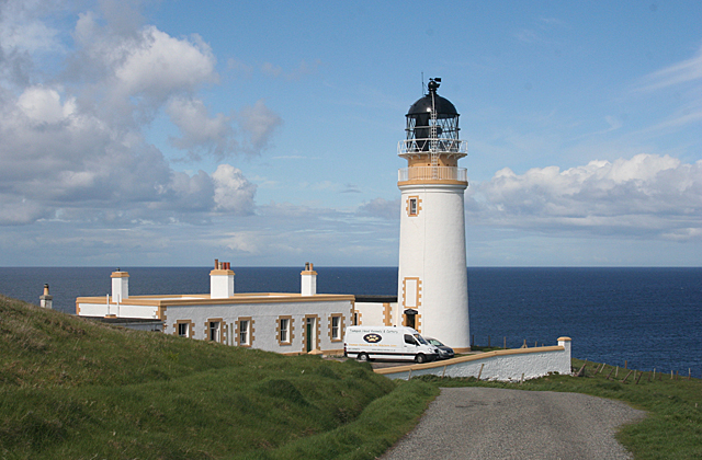
Tiumpan Head Lighthouse
The Tiumpan Head Lighthouse is an active lighthouse located in Tiumpan Head, Isle of Lewis, Outer Hebrides, Scotland. == History == The idea for the Tiumpan...

Portnaguran
Portnaguran (Scottish Gaelic: Port nan Giùran) is a settlement situated within Point, on the Isle of Lewis, in the Outer Hebrides, Scotland. Portnaguran...

Portvoller
Portvoller (Scottish Gaelic: Port Mholair) is a small village on the north tip of the Eye Peninsula (which along with Melbost and Parkend makes up Point...

Broker, Lewis
Broker (Scottish Gaelic: Brocair) is a small hamlet next to the village of Portvoller and Portnaguran on the Eye Peninsula located on the east side of...

Aird, Lewis
Aird (Scottish Gaelic: Àird an Rubha) is a village in the Scottish council area of Eileanan Siar (Western Isles). It is located on the Eye Peninsula on...
Flesherin
Flesherin (Scottish Gaelic: Na Fleisirean) is a small village on the Point peninsula of the Isle of Lewis in the Outer Hebrides. Located near Portnaguran...

Shulishader
Shulishader (Scottish Gaelic: Siadar an Rubha) is a small village with a population of around 120 people in Point, Outer Hebrides on the Isle of Lewis...
Point, Lewis
Point (Scottish Gaelic: An Rubha), also known as the Eye Peninsula, is a peninsula some 11 km long in the Outer Hebrides (or Western Isles), Scotland....
Nearby Amenities
Located within 500m of 58.261403,-6.1378071Have you been to Bacaile Dhuilich?
Leave your review of Bacaile Dhuilich below (or comments, questions and feedback).