An Sgeir Aid
Island in Ross-shire
Scotland
An Sgeir Aid
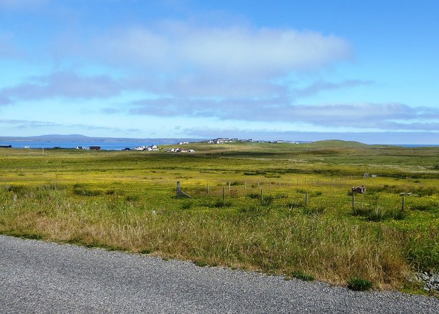
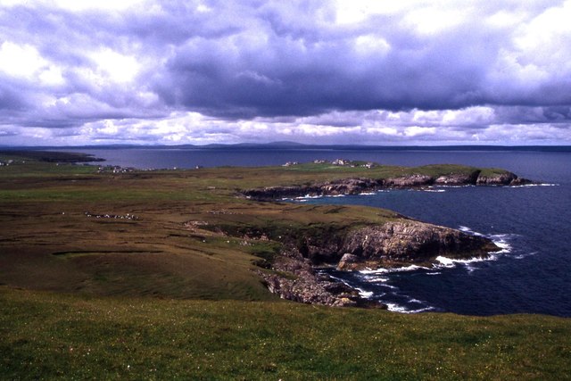
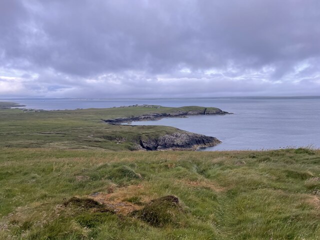
An Sgeir Aid is a small uninhabited island located off the coast of Ross-shire, Scotland. It is situated in the North Atlantic Ocean, approximately 7 kilometers northwest of the mainland. The island covers an area of about 1.5 hectares and is part of the Summer Isles archipelago.
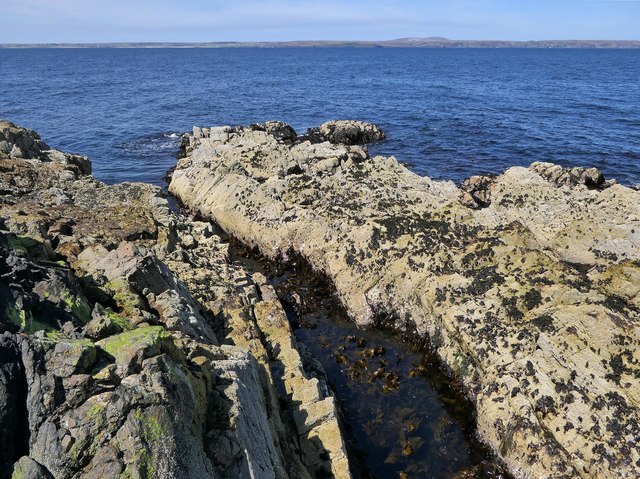
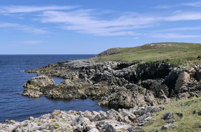
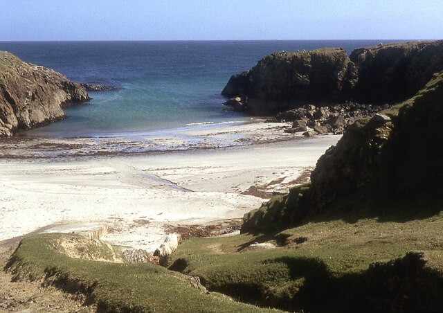
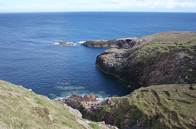
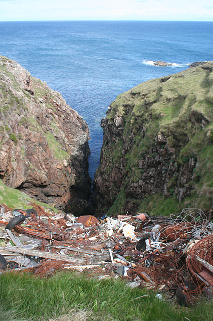
An Sgeir Aid is known for its rugged and rocky terrain, with steep cliffs rising up to 30 meters above sea level. The island is predominantly composed of basalt and is devoid of any vegetation or trees, making it a barren and desolate landscape.
Due to its remote location and challenging access, An Sgeir Aid has been largely untouched by human activity. It is a popular destination for birdwatchers, as it serves as a breeding ground for various seabird species, including gannets, puffins, and guillemots. The island's cliffs provide nesting sites and protection for these birds, making it an important ecological habitat.
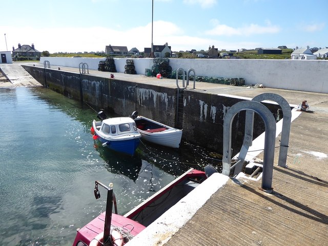
Boat trips are available for visitors who wish to explore An Sgeir Aid and its surrounding waters. These trips offer a unique opportunity to witness the abundant wildlife and stunning coastal scenery in the area. However, it is important to note that landing on the island is not permitted due to its fragile ecosystem.
Overall, An Sgeir Aid is a picturesque and remote island, offering a glimpse into Scotland's diverse and untouched natural beauty. Its dramatic cliffs and thriving birdlife make it a must-visit destination for nature enthusiasts and birdwatchers alike.
If you have any feedback on the listing, please let us know in the comments section below.
An Sgeir Aid Images
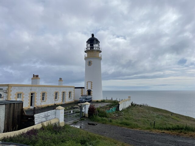
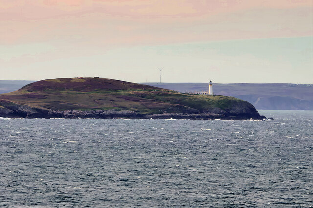
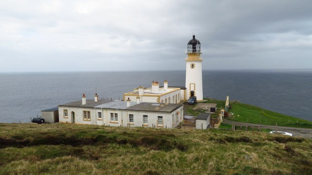
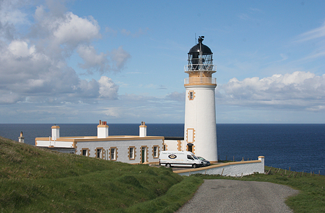
Images are sourced within 2km of 58.25865/-6.1361891 or Grid Reference NB5737. Thanks to Geograph Open Source API. All images are credited.
An Sgeir Aid is located at Grid Ref: NB5737 (Lat: 58.25865, Lng: -6.1361891)
Unitary Authority: Na h-Eileanan an Iar
Police Authority: Highlands and Islands
What 3 Words
///downturn.opts.outgrown. Near North Tolsta, Na h-Eileanan Siar
Nearby Locations
Related Wikis

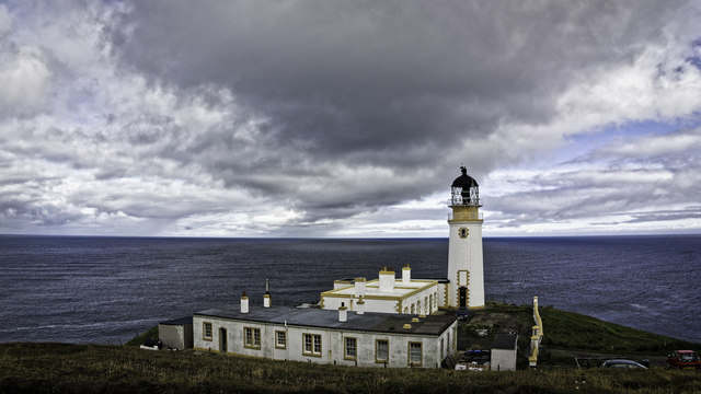
Tiumpan Head Lighthouse
The Tiumpan Head Lighthouse is an active lighthouse located in Tiumpan Head, Isle of Lewis, Outer Hebrides, Scotland. == History == The idea for the Tiumpan...

Portvoller
Portvoller (Scottish Gaelic: Port Mholair) is a small village on the north tip of the Eye Peninsula (which along with Melbost and Parkend makes up Point...

Portnaguran
Portnaguran (Scottish Gaelic: Port nan Giùran) is a settlement situated within Point, on the Isle of Lewis, in the Outer Hebrides, Scotland. Portnaguran...

Broker, Lewis
Broker (Scottish Gaelic: Brocair) is a small hamlet next to the village of Portvoller and Portnaguran on the Eye Peninsula located on the east side of...
Nearby Amenities
Located within 500m of 58.25865,-6.1361891Have you been to An Sgeir Aid?
Leave your review of An Sgeir Aid below (or comments, questions and feedback).