Londonderry

Settlement in Worcestershire

England

Londonderry

Under the M5 at Oldbury The 18th C canal is overtopped by the 20th C motorway. Surely a concrete tribute to the route chosen by James Brindley the canal engineer.
Under the M5 at Oldbury Credit: Stuart Logan

Londonderry is a small village located in the county of Worcestershire, England. Situated in the West Midlands region, it is nestled in the picturesque countryside, surrounded by rolling hills and lush green fields. The village is part of the Wychavon district and falls within the administrative area of the town of Droitwich Spa.

Londonderry is known for its quaint and charming atmosphere, offering a peaceful and idyllic setting for residents and visitors alike. The village is characterized by its traditional English cottages and well-maintained gardens, which add to its overall charm.

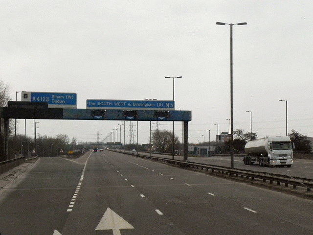
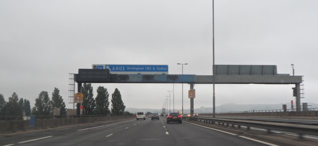
Despite its small size, Londonderry is well-connected to nearby towns and cities. The village benefits from good transportation links, including road access via the A4538 and A38, making it easily accessible by car. Additionally, the nearby Droitwich Spa railway station provides regular train services to Worcester, Birmingham, and other major cities.

Although Londonderry may lack major tourist attractions, its proximity to the beautiful Worcestershire countryside makes it an ideal destination for outdoor enthusiasts. The village is surrounded by numerous walking and cycling trails, offering breathtaking views of the surrounding landscape.

Local amenities in Londonderry are limited, with a small convenience store catering to the daily needs of residents. However, a short drive away, the town of Droitwich Spa provides a wider range of shops, supermarkets, restaurants, and leisure facilities.

Overall, Londonderry offers a peaceful retreat in the heart of Worcestershire, with its scenic surroundings and easy access to nearby towns and cities making it a desirable place to live or visit.

If you have any feedback on the listing, please let us know in the comments section below.
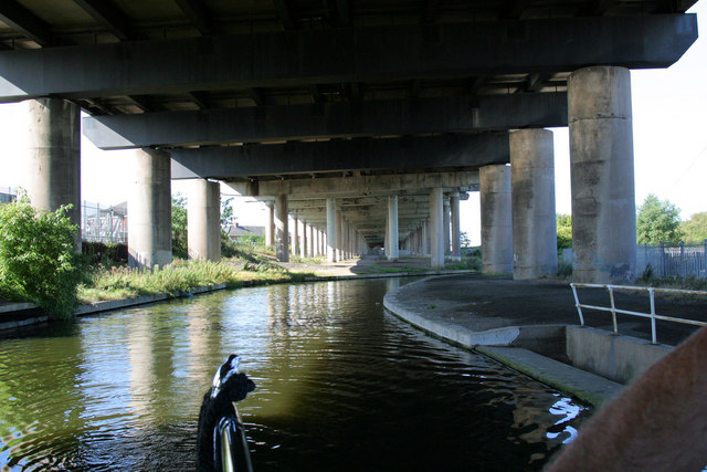
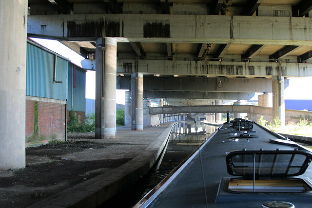
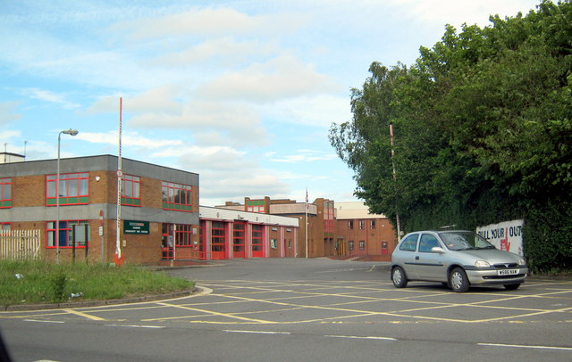
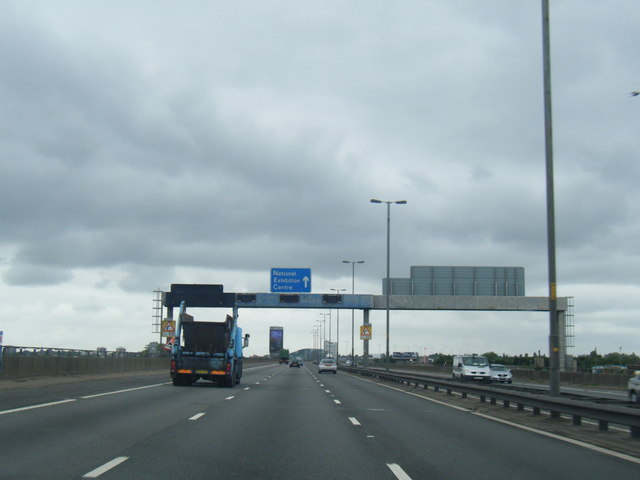
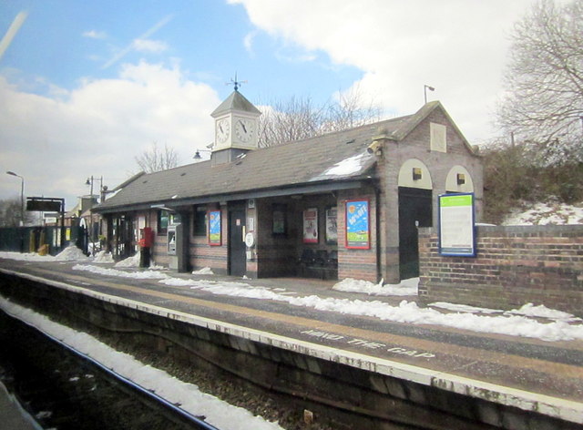
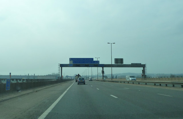
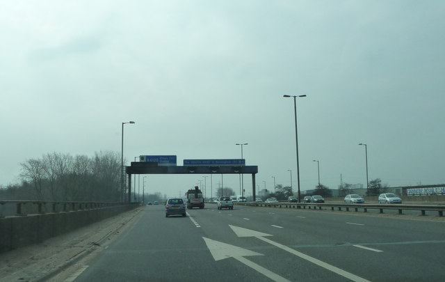
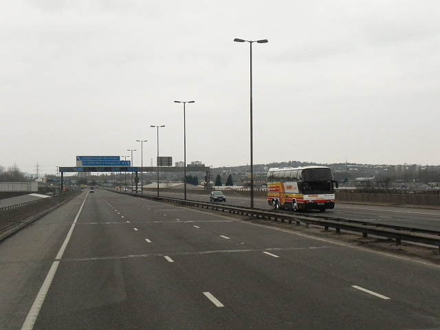
Londonderry Images

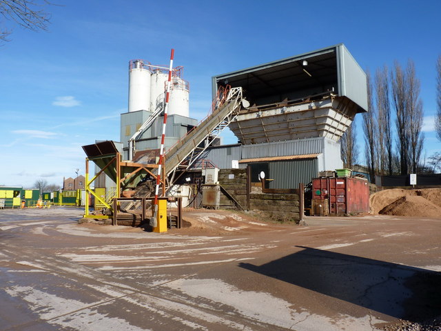
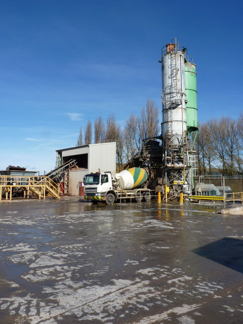
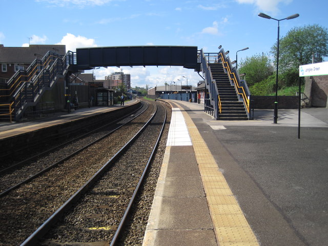
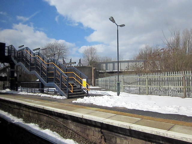
Images are sourced within 2km of 52.488986/-1.989511 or Grid Reference SP0087. Thanks to Geograph Open Source API. All images are credited.

Under the M5 at Oldbury The 18th C canal is overtopped by the 20th C motorway. Surely a concrete tribute to the route chosen by James Brindley the canal engineer.
Under the M5 at Oldbury
The 18th C canal is overtopped by the 20th C motorway. Surely a concrete tribute to the route chosen by James Brindley the canal engineer.
Different levels of transport The old main line of the Birmingham Canal has been overtopped by the M5 motorway and various footbridges.
Different levels of transport
The old main line of the Birmingham Canal has been overtopped by the M5 motorway and various footbridges.
Oldbury Fire Station, Junction 2 M5 Motorway
M5 northbound
M5 northbound
Tarmac's mortar plant - Oldbury This mortar plant operates from the same site as the adjacent concrete plant <a href="https://www.geograph.org.uk/photo/2820133">SO9988 : Tarmac's concrete plant - Oldbury</a>, supplying ready-to-use bricklaying mortar throughout the West Mids.
Tarmac's mortar plant - Oldbury
This mortar plant operates from the same site as the adjacent concrete plant SO9988 : Tarmac's concrete plant - Oldbury, supplying ready-to-use bricklaying mortar throughout the West Mids.
Tarmac's concrete plant - Oldbury This plant, tucked away between the canal and the railway, supplies readymixed concrete within a radius of 4 or 5 miles.
Tarmac's concrete plant - Oldbury
This plant, tucked away between the canal and the railway, supplies readymixed concrete within a radius of 4 or 5 miles.
Langley Green railway station Opened in 1885 by the Great Western Railway on the line from Birmingham Snow Hill to Stourbridge. View south towards Rowley Regis and Stourbridge. Just out of view to the right is the former branch line platform to Oldbury Town.
Langley Green railway station
Opened in 1885 by the Great Western Railway on the line from Birmingham Snow Hill to Stourbridge. View south towards Rowley Regis and Stourbridge. Just out of view to the right is the former branch line platform to Oldbury Town.
Footbridge, Langley Green Station
Langley Green Station
M5 near Tat Bank
M5 near Tat Bank
M5 approaching Junction 2
Southbound M5, Oldbury The M5 runs 163 miles from a junction with the M6 at West Bromwich near Birmingham to Exeter in Devon. Constructed between 1962 & 1977. It links the North and Midlands with the South west. <span class="nowrap"><a title="http://en.wikipedia.org/wiki/M5_motorway" rel="nofollow ugc noopener" href="http://en.wikipedia.org/wiki/M5_motorway">Link</a><img style="margin-left:2px;" alt="External link" title="External link - shift click to open in new window" src="https://s1.geograph.org.uk/img/external.png" width="10" height="10"/></span>
Southbound M5, Oldbury
The M5 runs 163 miles from a junction with the M6 at West Bromwich near Birmingham to Exeter in Devon. Constructed between 1962 & 1977. It links the North and Midlands with the South west. LinkExternal link
Southbound M5, Exit Sliproad at Junction 2 The M5 runs 163 miles from a junction with the M6 at West Bromwich near Birmingham to Exeter in Devon. Constructed between 1962 & 1977. It links the North and Midlands with the South west. <span class="nowrap"><a title="http://en.wikipedia.org/wiki/M5_motorway" rel="nofollow ugc noopener" href="http://en.wikipedia.org/wiki/M5_motorway">Link</a><img style="margin-left:2px;" alt="External link" title="External link - shift click to open in new window" src="https://s1.geograph.org.uk/img/external.png" width="10" height="10"/></span>
Southbound M5, Exit Sliproad at Junction 2
The M5 runs 163 miles from a junction with the M6 at West Bromwich near Birmingham to Exeter in Devon. Constructed between 1962 & 1977. It links the North and Midlands with the South west. LinkExternal link
Birmingham : Park Lane Park Lane heading through trading estates in Birmingham.
Birmingham : Park Lane
Park Lane heading through trading estates in Birmingham.
Birmingham : City Scenery Looking across buildings and rooftops of the Oldbury area of Birmingham.
Birmingham : City Scenery
Looking across buildings and rooftops of the Oldbury area of Birmingham.
Birmingham : The M5 Motorway The M5 Motorway heading through the Birmingham suburbs.
Birmingham : The M5 Motorway
The M5 Motorway heading through the Birmingham suburbs.
Birmingham : DPD Depot Looking down towards a depot from the M5 Motorway.
Birmingham : DPD Depot
Looking down towards a depot from the M5 Motorway.
Gantry over the M5 at Oldbury
Show me another place!

Londonderry is located at Grid Ref: SP0087 (Lat: 52.488986, Lng: -1.989511)

Unitary Authority: Sandwell

Police Authority: West Midlands

What 3 Words

///career.glow.clever. Near Smethwick, West Midlands

Nearby Locations

Londonderry Hilltop

Related Wikis

Sandwell Aquatics Centre

Sandwell Aquatics Centre is an indoor facility located in Londonderry, Smethwick, West Midlands, England. It contains an Olympic-size swimming pool (one...

Londonderry, West Midlands

Londonderry is a residential area of Oldbury and Smethwick, on the B4182 road, in the Sandwell Metropolitan Borough, in the English county of West Midlands...

Bristnall Hall Academy

Bristnall Hall Academy (formerly Bristnall Hall Technology College and Bristnall Hall High School) is a secondary school with academy status located in...
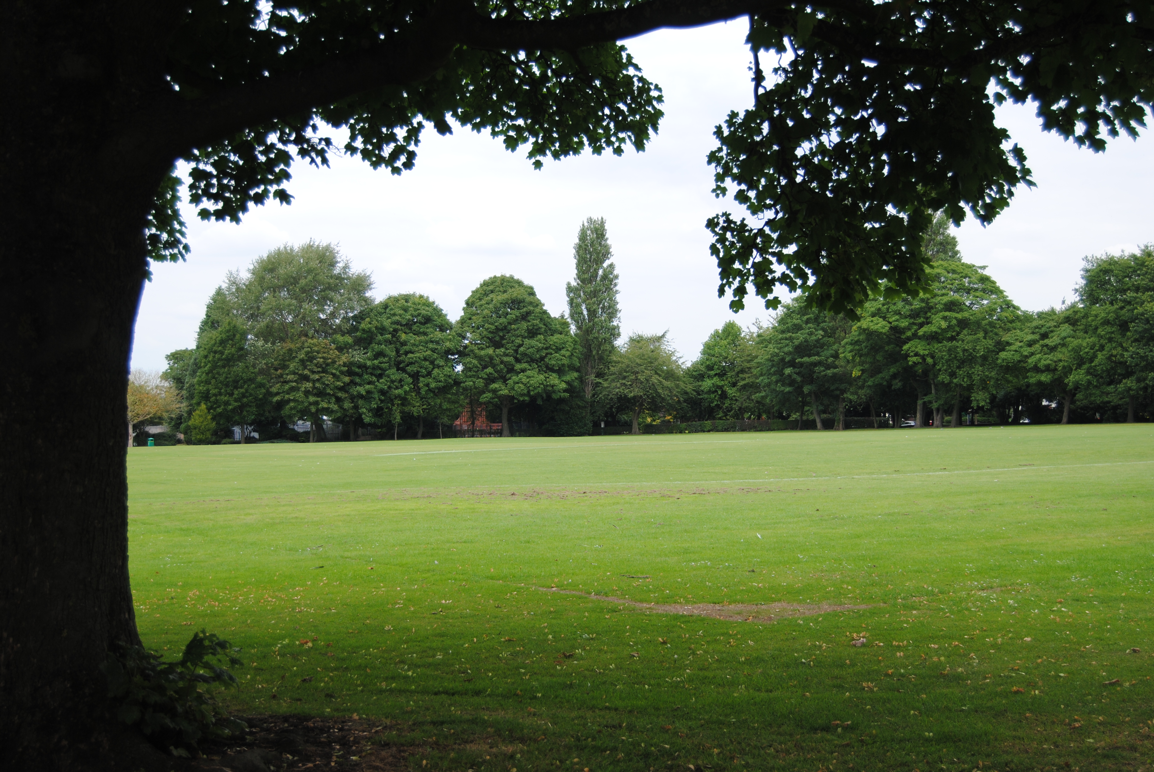
West Smethwick Park

West Smethwick Park is a public park in the St Pauls ward of Smethwick, England. It opened on 7 September 1895. Smethwick – and thus the park – was traditionally...

Nearby Amenities

Located within 500m of 52.488986,-1.989511
Traffic Calming: table
Lat/Long: 52.4916269/-1.9936877
Crossing
Crossing: uncontrolled
Lat/Long: 52.4878681/-1.9912198
Post Office
Dog Kennel Lane Post Office
Addr City: Oldbury
Addr Housenumber: 277
Addr Postcode: B68 9NE
Addr Street: Londonderry Road
Brand: Post Office
Brand Wikidata: Q1783168
Opening Hours: Mo-Th 08:45-17:30; Fr,Sa 09:00-17:30
Ref Pol Id: 10988
Website: https://www.postoffice.co.uk/branch-finder/2752468/dog-kennel-lane
Lat/Long: 52.487744/-1.9928169
Fuel
Esso
Brand: Esso
Brand Wikidata: Q867662
Brand Wikipedia: en:Esso
Contact Website: https://www.esso.co.uk/en-gb/find-station/esso-oldbury-essomfgderry-100358876
Lat/Long: 52.4880064/-1.9934198
Turning Circle
Lat/Long: 52.4877131/-1.9891046
Post Office
Londonderry Lane Post Office
Addr City: Warley
Addr Housenumber: 168
Addr Postcode: B67 7EN
Addr Street: Londonderry Lane
Brand: Post Office
Brand Wikidata: Q1783168
Fhrs Id: 1176995
Opening Hours: Mo-Sa 06:30-20:00; Su 07:30-14:00
Ref Pol Id: 12038
Website: https://www.postoffice.co.uk/branch-finder/3002462/londonderry
Lat/Long: 52.489872/-1.9832013
Post Box
Post Box Type: pillar
Postal Code: B68
Ref: B68 505
Lat/Long: 52.4911014/-1.9954947
Post Box
Postal Code: B67
Ref: B67 960
Lat/Long: 52.4868101/-1.9849292
Post Box
Postal Code: B67
Ref: B67 286
Lat/Long: 52.4897935/-1.9830139
Post Box
Postal Code: B68
Ref: B68 340
Lat/Long: 52.487793/-1.9929199
Bicycle Parking
Lat/Long: 52.4878028/-1.9928662
Richard Centre
Lat/Long: 52.4873636/-1.9937057
Bus Stop
Manor Rd / Bartleet Road
Bus: yes
Naptan AtcoCode: 43000940601
Naptan Bearing: NW
Naptan BusStopType: MKD
Naptan CommonName: Bartleet Road
Naptan Indicator: opp
Naptan NaptanCode: nwmpwtaj
Naptan PlusbusZoneRef: BHAMNWS
Naptan Status: ACT
Naptan StopType: BCT
Naptan Street: MANOR RD
Naptan Towards: West Bromwich
Naptan Verified: no
Public Transport: platform
Route Ref: 21;50C
Source: WMCA
Lat/Long: 52.4914168/-1.987422
Bus Stop
Manor Rd / Bartleet Road
Bus: yes
Naptan AtcoCode: 43000940602
Naptan Bearing: SE
Naptan BusStopType: MKD
Naptan CommonName: Bartleet Road
Naptan Indicator: after
Naptan NaptanCode: nwmpwtam
Naptan PlusbusZoneRef: BHAMNWS
Naptan Status: ACT
Naptan StopType: BCT
Naptan Street: MANOR RD
Naptan Towards: Bearwood
Naptan Verified: no
Public Transport: platform
Route Ref: 21;50A
Source: WMCA
Lat/Long: 52.4918574/-1.9883645
Bus Stop
Queens Rd / Thimblemill Road
Bus: yes
Naptan AtcoCode: 43000936001
Naptan Bearing: S
Naptan BusStopType: MKD
Naptan CommonName: Thimblemill Road
Naptan Indicator: after
Naptan NaptanCode: nwmpdpjd
Naptan PlusbusZoneRef: BHAMNWS
Naptan Status: ACT
Naptan StopType: BCT
Naptan Street: QUEENS RD
Naptan Towards: Bearwood
Naptan Verified: no
Public Transport: platform
Route Ref: 48;50A;55
Source: WMCA
Lat/Long: 52.4873985/-1.9909871
Bus Stop
Dog Kennel Lane / Bason`S Lane
Asset Ref: 0936101
Bus: yes
Location: Dog Kennel Lane;Bason's Lane
Naptan AtcoCode: 43000936101
Naptan Bearing: NW
Naptan BusStopType: MKD
Naptan CommonName: Bason`s Lane
Naptan Indicator: opp
Naptan NaptanCode: nwmpdpjg
Naptan PlusbusZoneRef: BHAMNWS
Naptan Status: ACT
Naptan StopType: BCT
Naptan Street: DOG KENNEL LANE
Naptan Towards: Blackheath
Naptan Verified: no
Public Transport: platform
Route Ref: 88
Source: WMCA
Towards: Blackheath
Lat/Long: 52.4902038/-1.9963622
Bus Stop
Dog Kennel Lane / Bason`S Lane
Bus: yes
Naptan AtcoCode: 43000936102
Naptan Bearing: SE
Naptan BusStopType: MKD
Naptan CommonName: Bason`s Lane
Naptan Indicator: adj
Naptan NaptanCode: nwmpdpjm
Naptan PlusbusZoneRef: BHAMNWS
Naptan Status: ACT
Naptan StopType: BCT
Naptan Street: DOG KENNEL LANE
Naptan Towards: Birmingham
Naptan Verified: no
Public Transport: platform
Source: WMCA
Lat/Long: 52.4897812/-1.9951398
Bus Stop
Dog Kennel Lane / Starkie Drive
Bus: yes
Naptan AtcoCode: 43000936202
Naptan Bearing: SE
Naptan BusStopType: MKD
Naptan CommonName: Starkie Drive
Naptan Indicator: opp
Naptan NaptanCode: nwmpdpjt
Naptan PlusbusZoneRef: BHAMNWS
Naptan Status: ACT
Naptan StopType: BCT
Naptan Street: DOG KENNEL LANE
Naptan Towards: Birmingham
Naptan Verified: no
Public Transport: platform
Source: WMCA
Lat/Long: 52.4881629/-1.9938146
Bus Stop
Dog Kennel Lane / Starkie Drive
Bus: yes
Naptan AtcoCode: 43000936203
Naptan Bearing: NW
Naptan BusStopType: MKD
Naptan CommonName: Starkie Drive
Naptan Indicator: adj
Naptan NaptanCode: nwmtgmaj
Naptan PlusbusZoneRef: BHAMNWS
Naptan Status: ACT
Naptan StopType: BCT
Naptan Street: DOG KENNEL LANE
Naptan Towards: Blackheath
Naptan Verified: no
Public Transport: platform
Source: WMCA
Lat/Long: 52.4889451/-1.9946392
Bus Stop
Queens Rd / Hayes Rd
Asset Ref: 0936305
Bus: yes
Location: Queens Road;Hayes Road
Naptan AtcoCode: 43000936305
Naptan Bearing: S
Naptan BusStopType: MKD
Naptan CommonName: Hayes Rd
Naptan Indicator: after
Naptan NaptanCode: nwmpdpjw
Naptan PlusbusZoneRef: BHAMNWS
Naptan Status: ACT
Naptan StopType: BCT
Naptan Street: QUEENS RD
Naptan Towards: Bearwood
Public Transport: platform
Route Ref: 21;48
Shelter: no
Source: WMCA
Towards: Bearwood
Lat/Long: 52.4890075/-1.9916096
Bus Stop
Queens Rd / Hayes Rd
NaPTANAreaCode: 43000936306
Bus: yes
Naptan AtcoCode: 43000936306
Naptan Bearing: N
Naptan BusStopType: MKD
Naptan CommonName: Hayes Rd
Naptan Indicator: before
Naptan NaptanCode: nwmpdpma
Naptan PlusbusZoneRef: BHAMNWS
Naptan Status: ACT
Naptan StopType: BCT
Naptan Street: QUEENS RD
Naptan Towards: West Bromwich
Naptan Verified: no
Public Transport: platform
Route Ref: 21;48
Shelter: yes
Shelter Ref: 307126
Source: WMCA
Lat/Long: 52.4887291/-1.9917526
Bus Stop
Thimblemill Rd / Hales Lane
Bus: yes
Naptan AtcoCode: 43000936401
Naptan Bearing: NW
Naptan BusStopType: MKD
Naptan CommonName: Hales Lane
Naptan Indicator: opp
Naptan NaptanCode: nwmpdpmd
Naptan PlusbusZoneRef: BHAMNWS
Naptan Status: ACT
Naptan StopType: BCT
Naptan Street: THIMBLEMILL RD
Naptan Towards: Oldbury
Naptan Verified: no
Public Transport: platform
Route Ref: 120
Source: WMCA
Lat/Long: 52.4854243/-1.9867569
Bus Stop
Thimblemill Rd / Hales Lane
NaPTANAreaCode: 43000936402
Bus: yes
Naptan AtcoCode: 43000936402
Naptan Bearing: SE
Naptan BusStopType: MKD
Naptan CommonName: Hales Lane
Naptan Indicator: adj
Naptan NaptanCode: nwmpdpmg
Naptan PlusbusZoneRef: BHAMNWS
Naptan Status: ACT
Naptan StopType: BCT
Naptan Street: THIMBLEMILL RD
Naptan Towards: Bearwood
Naptan Verified: no
Public Transport: platform
Route Ref: 120
Shelter: yes
Shelter Ref: 307141
Source: WMCA
Lat/Long: 52.4853393/-1.9863929
Bus Stop
Londonderry Lane / Francis Rd
NaPTANAreaCode: 43000936601
Bus: yes
Naptan AtcoCode: 43000936601
Naptan Bearing: W
Naptan BusStopType: MKD
Naptan CommonName: Francis Rd
Naptan Indicator: opp
Naptan NaptanCode: nwmpdpmt
Naptan PlusbusZoneRef: BHAMNWS
Naptan Status: ACT
Naptan StopType: BCT
Naptan Street: LONDONDERRY LANE
Naptan Towards: Londonderry
Public Transport: platform
Route Ref: 55;89
Shelter: yes
Shelter Ref: 307161
Source: WMCA
Lat/Long: 52.4884825/-1.9869285
Bus Stop
Londonderry Lane / Francis Rd
NaPTANAreaCode: 43000936602
Bus: yes
Naptan AtcoCode: 43000936602
Naptan Bearing: E
Naptan BusStopType: MKD
Naptan CommonName: Francis Rd
Naptan Indicator: adj
Naptan NaptanCode: nwmpdpmw
Naptan PlusbusZoneRef: BHAMNWS
Naptan Status: ACT
Naptan StopType: BCT
Naptan Street: LONDONDERRY LANE
Naptan Towards: Smethwick
Public Transport: platform
Route Ref: 55;89
Shelter: yes
Shelter Ref: 307134
Source: WMCA
Lat/Long: 52.4885309/-1.9871872
Bus Stop
Londonderry Lane / Manor Rd Post Office
Asset Ref: 0936701
Bus: yes
Location: Londonderry Lane;Manor Road
Naptan AtcoCode: 43000936701
Naptan Bearing: SW
Naptan BusStopType: MKD
Naptan CommonName: Manor Rd Post Office
Naptan Indicator: after
Naptan NaptanCode: nwmpdpta
Naptan PlusbusZoneRef: BHAMNWS
Naptan Status: ACT
Naptan StopType: BCT
Naptan Street: LONDONDERRY LANE
Naptan Towards: Londonderry
Public Transport: platform
Route Ref: 55;89
Shelter: yes
Source: WMCA
Lat/Long: 52.4893984/-1.9839507
Bus Stop
Londonderry Lane / Manor Rd Post Office
Asset Ref: 0936702
Bus: yes
Location: Londonderry Lane;Manor Road
Naptan AtcoCode: 43000936702
Naptan Bearing: NE
Naptan BusStopType: MKD
Naptan CommonName: Manor Rd Post Office
Naptan Indicator: before
Naptan NaptanCode: nwmpdptd
Naptan PlusbusZoneRef: BHAMNWS
Naptan Status: ACT
Naptan StopType: BCT
Naptan Street: LONDONDERRY LANE
Naptan Towards: Smethwick
Public Transport: platform
Route Ref: 55;89
Source: WMCA
Towards: Smethwick;Bearwood
Lat/Long: 52.4893975/-1.9842404
Bus Stop
Warley Rd / Basons Lane
Bus: yes
Naptan AtcoCode: 43000936801
Naptan Bearing: NW
Naptan BusStopType: MKD
Naptan CommonName: Basons Lane
Naptan Indicator: after
Naptan NaptanCode: nwmpdptg
Naptan PlusbusZoneRef: BHAMNWS
Naptan Status: ACT
Naptan StopType: BCT
Naptan Street: WARLEY RD
Naptan Towards: Oldbury
Naptan Verified: no
Public Transport: platform
Route Ref: 21;120
Source: WMCA
Lat/Long: 52.4906172/-1.9945653
Bus Stop
Warley Rd / Basons Lane
Asset Ref: 0936802
Bus: yes
Location: Warley Road;Basons Lane
Naptan AtcoCode: 43000936802
Naptan Bearing: SE
Naptan BusStopType: MKD
Naptan CommonName: Basons Lane
Naptan Indicator: before
Naptan NaptanCode: nwmpdptj
Naptan PlusbusZoneRef: BHAMNWS
Naptan Status: ACT
Naptan StopType: BCT
Naptan Street: WARLEY RD
Naptan Towards: Bearwood
Public Transport: platform
Route Ref: 21;120
Shelter: no
Source: WMCA
Towards: Birmingham;Oldbury
Lat/Long: 52.4909818/-1.9947035
Bus Stop
Queens Rd / The Londonderry
NaPTANAreaCode: 43000936901
Bus: yes
Naptan AtcoCode: 43000936901
Naptan Bearing: S
Naptan BusStopType: MKD
Naptan CommonName: The Londonderry
Naptan Indicator: opp
Naptan NaptanCode: nwmpdptm
Naptan PlusbusZoneRef: BHAMNWS
Naptan Status: ACT
Naptan StopType: BCT
Naptan Street: QUEENS RD
Naptan Towards: Bearwood
Naptan Verified: no
Public Transport: platform
Route Ref: 21;48
Shelter: yes
Shelter Ref: 0936901
Source: WMCA
Lat/Long: 52.4921992/-1.9902644
Bus Stop
Queens Rd / The Londonderry
NaPTANAreaCode: 43000936902
Bus: yes
Naptan AtcoCode: 43000936902
Naptan Bearing: N
Naptan BusStopType: MKD
Naptan CommonName: The Londonderry
Naptan Indicator: adj
Naptan NaptanCode: nwmpdptp
Naptan PlusbusZoneRef: BHAMNWS
Naptan Status: ACT
Naptan StopType: BCT
Naptan Street: QUEENS RD
Naptan Towards: West Bromwich
Naptan Verified: no
Public Transport: platform
Route Ref: 21;48
Shelter: yes
Shelter Ref: 307128
Source: WMCA
Lat/Long: 52.4922262/-1.9904559
Bus Stop
Hales Lane / Pear Tree Rd
Bus: yes
Naptan AtcoCode: 43000938601
Naptan Bearing: S
Naptan BusStopType: MKD
Naptan CommonName: Pear Tree Rd
Naptan Indicator: opp
Naptan NaptanCode: nwmpwptw
Naptan PlusbusZoneRef: BHAMNWS
Naptan Status: ACT
Naptan StopType: BCT
Naptan Street: HALES LANE
Naptan Towards: Oldbury
Naptan Verified: no
Public Transport: platform
Route Ref: 50A;89
Shelter: yes
Source: WMCA
Lat/Long: 52.4861426/-1.9850968
Bus Stop
Hales Lane / Pear Tree Rd
Bus: yes
Naptan AtcoCode: 43000938602
Naptan Bearing: N
Naptan BusStopType: MKD
Naptan CommonName: Pear Tree Rd
Naptan Indicator: adj
Naptan NaptanCode: nwmpwpwa
Naptan PlusbusZoneRef: BHAMNWS
Naptan Status: ACT
Naptan StopType: BCT
Naptan Street: HALES LANE
Naptan Towards: Birmingham
Public Transport: platform
Route Ref: 50C;89
Source: WMCA
Lat/Long: 52.4865862/-1.9848418
Bus Stop
Thimblemill Rd / Queens Rd
NaPTANAreaCode: 43009120502
Bus: yes
Naptan AtcoCode: 43009120502
Naptan Bearing: NW
Naptan BusStopType: MKD
Naptan CommonName: Queens Rd
Naptan Indicator: before
Naptan Landmark: The Queens Head
Naptan NaptanCode: nwmpmtdm
Naptan PlusbusZoneRef: BHAMNWS
Naptan Status: ACT
Naptan StopType: BCT
Naptan Street: THIMBLEMILL RD
Naptan Towards: Oldbury
Naptan Verified: no
Public Transport: platform
Route Ref: 50A;89;120
Shelter: yes
Shelter Ref: 307123
Source: WMCA
Lat/Long: 52.4873847/-1.9903476
Bus Stop
Thimblemill Rd / Queens Rd
NaPTANAreaCode: 43009120503
Bus: yes
Naptan AtcoCode: 43009120503
Naptan Bearing: SE
Naptan BusStopType: MKD
Naptan CommonName: Queens Rd
Naptan Indicator: after
Naptan Landmark: The Queens Head
Naptan NaptanCode: nwmpmtdp
Naptan PlusbusZoneRef: BHAMNWS
Naptan Status: ACT
Naptan StopType: BCT
Naptan Street: THIMBLEMILL RD
Naptan Towards: Bearwood
Naptan Verified: no
Public Transport: platform
Route Ref: 50C;89;120
Shelter: yes
Shelter Ref: 307124
Source: WMCA
Lat/Long: 52.4876502/-1.9906778
Bus Stop
Bristnall Hall Rd / Reservoir Rd
Bus: yes
Naptan AtcoCode: 43009121001
Naptan Bearing: NE
Naptan BusStopType: MKD
Naptan CommonName: Reservoir Rd
Naptan Indicator: before
Naptan NaptanCode: nwmpmtdt
Naptan PlusbusZoneRef: BHAMNWS
Naptan Status: ACT
Naptan StopType: BCT
Naptan Street: BRISTNALL HALL RD
Naptan Towards: Bearwood
Naptan Verified: no
Public Transport: platform
Source: WMCA
Lat/Long: 52.4869852/-1.9937264
Bus Stop
Bristnall Hall Rd / Reservoir Rd
Asset Ref: 9121003
Bus: yes
Naptan AtcoCode: 43009121003
Naptan Bearing: SW
Naptan BusStopType: MKD
Naptan CommonName: Reservoir Rd
Naptan Indicator: after
Naptan NaptanCode: nwmpmtdw
Naptan PlusbusZoneRef: BHAMNWS
Naptan Status: ACT
Naptan StopType: BCT
Naptan Street: BRISTNALL HALL RD
Naptan Towards: Blackheath
Public Transport: platform
Shelter: yes
Source: WMCA
Lat/Long: 52.4871671/-1.9934756
Bus Stop
Londonderry Lane / Warley Road
NaPTANAreaCode: 43009121504
Asset Ref: 307125
Bus: yes
Location: Londonderry Lane;Queens Road
Naptan AtcoCode: 43009121504
Naptan Bearing: E
Naptan BusStopType: MKD
Naptan CommonName: Warley Road
Naptan Indicator: after
Naptan NaptanCode: nwmpmtga
Naptan PlusbusZoneRef: BHAMNWS
Naptan Status: ACT
Naptan StopType: BCT
Naptan Street: LONDONDERRY LANE
Naptan Towards: Smethwick
Public Transport: platform
Route Ref: 55;89
Shelter: yes
Shelter Ref: 307125
Source: WMCA
Lat/Long: 52.4881776/-1.9905813
Bus Stop
Londonderry Lane / Warley Road
Bus: yes
Naptan AtcoCode: 43009121505
Naptan Bearing: W
Naptan BusStopType: MKD
Naptan CommonName: Warley Road
Naptan Indicator: before
Naptan NaptanCode: nwmtgmjt
Naptan PlusbusZoneRef: BHAMNWS
Naptan Status: ACT
Naptan StopType: BCT
Naptan Street: LONDONDERRY LANE
Naptan Towards: Warley
Naptan Verified: no
Public Transport: platform
Route Ref: 55;89
Source: WMCA
Lat/Long: 52.4881626/-1.9897498
Bus Stop
Warley Rd / Douglas Rd
Asset Ref: 9355101
Bus: yes
Location: Warley Road;Douglas Road
Naptan AtcoCode: 43009355101
Naptan Bearing: SE
Naptan BusStopType: MKD
Naptan CommonName: Douglas Rd
Naptan NaptanCode: nwmtjdwg
Naptan PlusbusZoneRef: BHAMNWS
Naptan Status: ACT
Naptan StopType: BCT
Naptan Street: WARLEY RD
Naptan Towards: Bearwood
Public Transport: platform
Route Ref: 21;120
Shelter: no
Source: WMCA
Towards: Bearwood
Lat/Long: 52.489258/-1.9929961
Bus Stop
Warley Rd / Douglas Rd
Bus: yes
Naptan AtcoCode: 43009355102
Naptan Bearing: NW
Naptan BusStopType: MKD
Naptan CommonName: Douglas Rd
Naptan NaptanCode: nwmtjdwj
Naptan PlusbusZoneRef: BHAMNWS
Naptan Status: ACT
Naptan StopType: BCT
Naptan Street: WARLEY RD
Naptan Towards: Oldbury
Naptan Verified: no
Public Transport: platform
Route Ref: 21;120
Source: WMCA
Lat/Long: 52.4890523/-1.9929869
Fixme: stream disappears unexpectedly
Lat/Long: 52.4913065/-1.9868435
Location: Thimblemill Road;Hales Lane
Ref: 0936401
Route Ref: 120;444
Lat/Long: 52.4854561/-1.9867928
Turning Circle
Source: bing
Lat/Long: 52.4911352/-1.9832812
Suzanne's Hair
Shop: hairdresser
Lat/Long: 52.4910996/-1.9957687
Londonderry
Place: neighbourhood
Wikidata: Q6671178
Lat/Long: 52.4892179/-1.9851375
Bus Stop
Manor Rd / Lee Gardens
Bus: yes
Naptan AtcoCode: 43001203902
Naptan Bearing: NW
Naptan BusStopType: MKD
Naptan CommonName: Lee Gardens
Naptan Indicator: opp
Naptan NaptanCode: nwmwgtjw
Naptan Status: ACT
Naptan StopType: BCT
Naptan Street: MANOR RD
Naptan Towards: West Bromwich
Public Transport: platform
Route Ref: 21;50C
Source: WMCA
Lat/Long: 52.4900405/-1.9835057
Bus Stop
Manor Rd / Lee Gardens
Bus: yes
Naptan AtcoCode: 43001203901
Naptan Bearing: SE
Naptan BusStopType: MKD
Naptan CommonName: Lee Gardens
Naptan Indicator: adj
Naptan NaptanCode: nwmwgtjp
Naptan Status: ACT
Naptan StopType: BCT
Naptan Street: MANOR RD
Naptan Towards: Bearwood
Public Transport: platform
Route Ref: 21;50A
Source: WMCA
Lat/Long: 52.4904092/-1.9839621
Bus Stop
Queens Rd / Thimblemill Road
Bus: yes
Naptan AtcoCode: 43000936002
Naptan Bearing: N
Naptan BusStopType: MKD
Naptan CommonName: Thimblemill Road
Naptan Indicator: before
Naptan NaptanCode: nwmwgtag
Naptan Status: ACT
Naptan StopType: BCT
Naptan Street: QUEENS RD
Naptan Towards: West Bromwich
Public Transport: platform
Route Ref: 48;50C;55
Source: WMCA
Lat/Long: 52.4871466/-1.9910909
Crossing
Crossing: uncontrolled
Source: bing
Lat/Long: 52.4911313/-1.9949439
Generator Method: photovoltaic
Generator Output Electricity: yes
Generator Source: solar
Generator Type: solar_photovoltaic_panel
Power: generator
Lat/Long: 52.4891078/-1.9844525
Generator Method: photovoltaic
Generator Output Electricity: yes
Generator Source: solar
Generator Type: solar_photovoltaic_panel
Power: generator
Lat/Long: 52.4897031/-1.9835834
Generator Method: photovoltaic
Generator Output Electricity: yes
Generator Source: solar
Generator Type: solar_photovoltaic_panel
Power: generator
Lat/Long: 52.4905156/-1.985414
Generator Method: photovoltaic
Generator Output Electricity: yes
Generator Source: solar
Generator Type: solar_photovoltaic_panel
Power: generator
Lat/Long: 52.4906675/-1.9864064
Generator Method: photovoltaic
Generator Output Electricity: yes
Generator Source: solar
Generator Type: solar_photovoltaic_panel
Power: generator
Lat/Long: 52.4911893/-1.9874391
Fast Food
Kebab Land
Addr Housenumber: 266
Addr Postcode: B67 7EW
Addr Street: Londonderry Lane
Fhrs Id: 1298405
Source Addr: FHRS Open Data
Lat/Long: 52.4886938/-1.9869697
Lifestyle Express
Addr Housenumber: 268
Addr Postcode: B67 7EW
Addr Street: Londonderry Lane
Brand: Lifestyle Express
Brand Wikidata: Q61994869
Fhrs Id: 141643
Shop: convenience
Source Addr: FHRS Open Data
Lat/Long: 52.4886611/-1.9871655
Londonderry Hardware
Shop: doityourself
Lat/Long: 52.4886529/-1.9873291
Jaaki's Barbers
Shop: hairdresser
Lat/Long: 52.4886823/-1.9870368
Londonderry Supplies
Shop: doityourself
Lat/Long: 52.4886284/-1.9874954
Veterinary
Your Vets 24Hrs
Lat/Long: 52.4882904/-1.9911943
Ian's Butchers & Greengrocer
Addr Housenumber: 344
Addr Postcode: B68 9NB
Addr Street: Londonderry Road
Fhrs Id: 455801
Shop: greengrocer
Source Addr: FHRS Open Data
Lat/Long: 52.4881409/-1.9927027
Barrier: bollard
Lat/Long: 52.4880756/-1.9935762
Fast Food
Maple Garden
Addr Housenumber: 338
Addr Postcode: B68 9NB
Addr Street: Londonderry Road
Fhrs Id: 136748
Source Addr: FHRS Open Data
Lat/Long: 52.4882258/-1.9924399
Fast Food
Pizza Point
Addr Housenumber: 336
Addr Postcode: B68 9NB
Addr Street: Londonderry Road
Fhrs Id: 142835
Source Addr: FHRS Open Data
Lat/Long: 52.4882438/-1.9923433
Cafe
Mollie's Baguette Bar
Addr Housenumber: 346
Addr Postcode: B68 9NB
Addr Street: Londonderry Road
Fhrs Id: 134960
Source Addr: FHRS Open Data
Lat/Long: 52.4881115/-1.9928207
Queen's Head
Place: village
Lat/Long: 52.4879906/-1.9925111
Fast Food
Queen's Head Fish Bar
Addr Housenumber: 348
Addr Postcode: B68 9NB
Addr Street: Londonderry Road
Fhrs Id: 575774
Source Addr: FHRS Open Data
Lat/Long: 52.488087/-1.9929012
Higgi's Tattoo Studio
Shop: tattoo
Lat/Long: 52.4881311/-1.9927672
Barrier: bollard
Lat/Long: 52.4881116/-1.9934555
Dentist
Queen's Head Dental Suite
Healthcare: dentist
Lat/Long: 52.488203/-1.9925151
Londis
Brand: Londis
Brand Wikidata: Q21008564
Brand Wikipedia: en:Londis (United Kingdom)
Shop: convenience
Lat/Long: 52.4880755/-1.9933759
Dass Motors
Shop: car
Lat/Long: 52.4878551/-1.9922226
Queen's Head Hardware
Shop: doityourself
Lat/Long: 52.4879204/-1.9919329
William Hill
Brand: William Hill
Brand Wikidata: Q4053147
Brand Wikipedia: en:William Hill (bookmaker)
Shop: bookmaker
Lat/Long: 52.4879254/-1.9917399
Cards & More
Shop: gift
Lat/Long: 52.4878485/-1.9915306
The Salvation Army
Brand: The Salvation Army
Brand Wikidata: Q188307
Brand Wikipedia: en:The Salvation Army
Shop: charity
Lat/Long: 52.4877882/-1.9926492
Ugly Boy Barbers
Shop: hairdresser
Lat/Long: 52.4874255/-1.9931265
Fast Food
Chilli Massala
Addr City: Oldbury
Addr Housenumber: 273
Addr Postcode: B68 9NF
Addr Street: Bristnall Hall Road
Cuisine: indian
Fhrs Id: 534593
Menu Url: https://www.chefonline.co.uk/chilli-massala-oldbury-birmingham-b68/menu
Opening Hours: Mo-Su 17:00-23:00
Website: http://chillimassalabirmingham.co.uk/
Lat/Long: 52.4874859/-1.9931185
Nisa Local
Brand: Nisa Local
Brand Wikidata: Q16999069
Brand Wikipedia: en:Nisa (retailer)
Shop: convenience
Lat/Long: 52.4878175/-1.9925337
Pharmacy
Ashworth Pharmacy
Addr Housenumber: 211A
Addr Postcode: B67 6NX
Addr Street: Queens Road
Dispensing: yes
Fhrs Id: 575738
Healthcare: pharmacy
Source Addr: FHRS Open Data
Lat/Long: 52.4877604/-1.9913684
Fast Food
Queen's Head Balti
Addr Housenumber: 279
Addr Postcode: B68 9NE
Addr Street: Londonderry Road
Fhrs Id: 105607
Source Addr: FHRS Open Data
Lat/Long: 52.4876819/-1.99292
Phone Depot
Shop: mobile_phone
Lat/Long: 52.4876509/-1.9930006
Wash & Dry
Shop: laundry
Lat/Long: 52.4875937/-1.9930594
Cake Break
Addr Housenumber: 352
Addr Postcode: B68 9NB
Addr Street: Londonderry Road
Fhrs Id: 1086901
Shop: bakery
Source Addr: FHRS Open Data
Lat/Long: 52.4880445/-1.9931265
Antonya's Hair Salon
Shop: hairdresser
Lat/Long: 52.4880755/-1.9930273
B&G Liquor Store
Addr Housenumber: 334
Addr Postcode: B68 9NB
Addr Street: Londonderry Road
Fhrs Id: 804782
Shop: alcohol
Source Addr: FHRS Open Data
Lat/Long: 52.4883075/-1.9921877
Swindon Insurance
Office: yes
Lat/Long: 52.4881752/-1.9926117
Samra News
Addr Housenumber: 271
Addr Postcode: B68 9NE
Addr Street: Londonderry Road
Fhrs Id: 575678
Shop: convenience
Source Addr: FHRS Open Data
Lat/Long: 52.487922/-1.9920858
Barrier: bollard
Lat/Long: 52.4880609/-1.9936379
Premier
Brand: Premier
Brand Wikidata: Q7240340
Brand Wikipedia: en:Premier Stores
Shop: convenience
Website: https://www.premier-stores.co.uk/our-stores/queens-head-supermarket
Lat/Long: 52.4877603/-1.9927322
Cash 4 Clothes
Shop: charity
Lat/Long: 52.4875448/-1.9930971
Barrier: bollard
Lat/Long: 52.4880952/-1.9935225
Midland Auto Services & Export
Shop: car_repair
Lat/Long: 52.4893714/-1.9917971
Generator Method: photovoltaic
Generator Output Electricity: yes
Generator Source: solar
Generator Type: solar_photovoltaic_panel
Location: roof
Power: generator
Source: Maxar imagery
Lat/Long: 52.4915396/-1.9944571
Crossing
Crossing: uncontrolled
Source: bing
Lat/Long: 52.487771/-1.9932917
Crossing
Crossing: uncontrolled
Source: bing
Lat/Long: 52.4877155/-1.9932273
Generator Method: photovoltaic
Generator Output Electricity: yes
Generator Source: solar
Generator Type: solar_photovoltaic_panel
Location: roof
Power: generator
Lat/Long: 52.4873831/-1.9943887
Generator Method: photovoltaic
Generator Output Electricity: yes
Generator Source: solar
Generator Type: solar_photovoltaic_panel
Location: roof
Power: generator
Lat/Long: 52.4870303/-1.9871494
Barrier: bollard
Lat/Long: 52.4858236/-1.9867573
Give Way
Direction: backward
Lat/Long: 52.4911896/-1.9950599
Give Way
Direction: forward
Lat/Long: 52.4912231/-1.9949546
The data included in this document is from www.openstreetmap.org. The data is made available under ODbL.

Have you been to Londonderry?

Leave your review of Londonderry below (or comments, questions and feedback).