Londonderry
Settlement in Yorkshire Hambleton
England
Londonderry

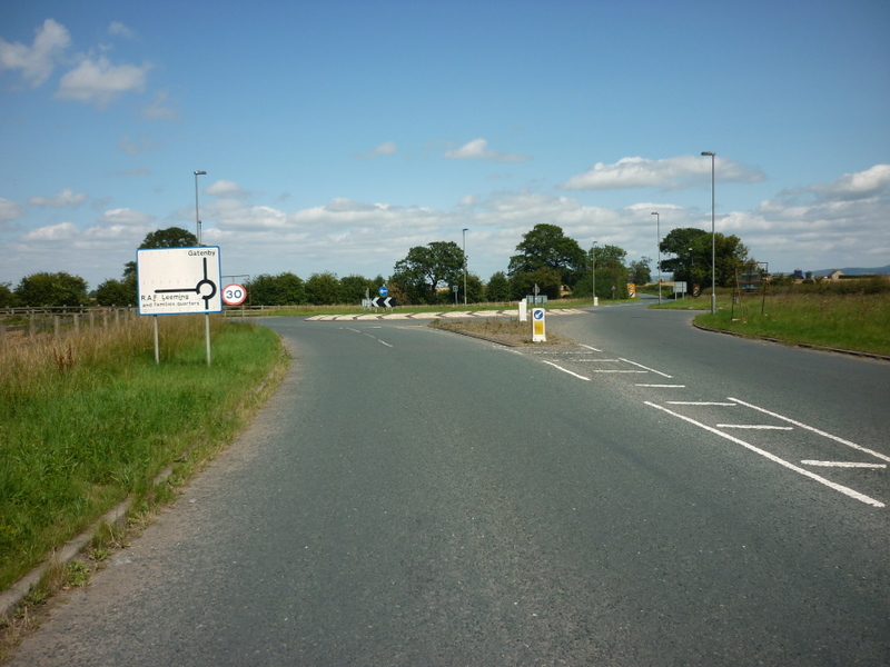
Londonderry is a small rural village located in the picturesque region of Yorkshire, England. Situated amidst rolling green hills and surrounded by quaint countryside, this idyllic village offers a peaceful and charming atmosphere to its residents and visitors alike.
With a population of around 500 inhabitants, Londonderry is known for its close-knit community and friendly locals. The village is characterized by its quaint cottages, adorned with colorful flower gardens, which add to the village's overall charm. The tranquil River Swale runs through the village, providing a serene backdrop for leisurely walks and outdoor activities.
Londonderry boasts a few essential amenities, including a local pub, a village shop, and a primary school, making it a self-sufficient community. However, for more extensive shopping and entertainment options, the nearby town of Richmond is just a short distance away.
Nature enthusiasts will find plenty to explore in Londonderry and its surrounding areas. The village is located near the Yorkshire Dales National Park, renowned for its breathtaking landscapes, picturesque trails, and diverse wildlife. This proximity offers ample opportunities for hiking, cycling, and other outdoor activities, attracting visitors from far and wide.
Overall, Londonderry is a charming and tranquil village that offers a peaceful retreat in the heart of the Yorkshire countryside. With its natural beauty, close-knit community, and access to stunning landscapes, it is a place where residents and visitors can truly appreciate the simple pleasures of rural living.
If you have any feedback on the listing, please let us know in the comments section below.
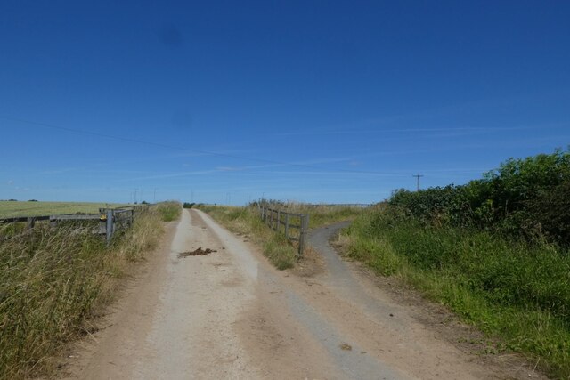
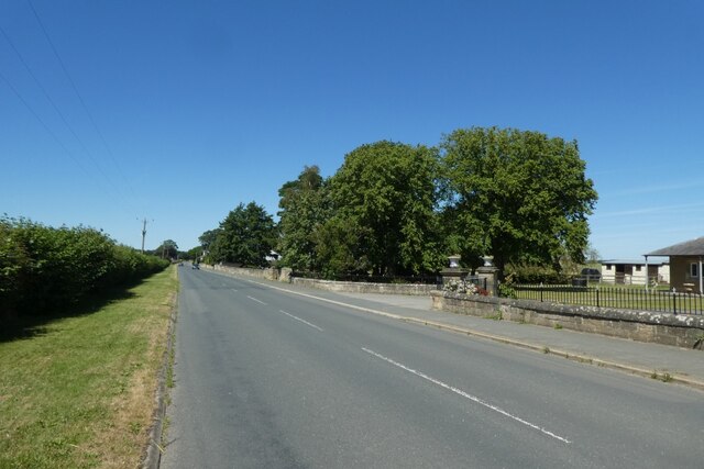
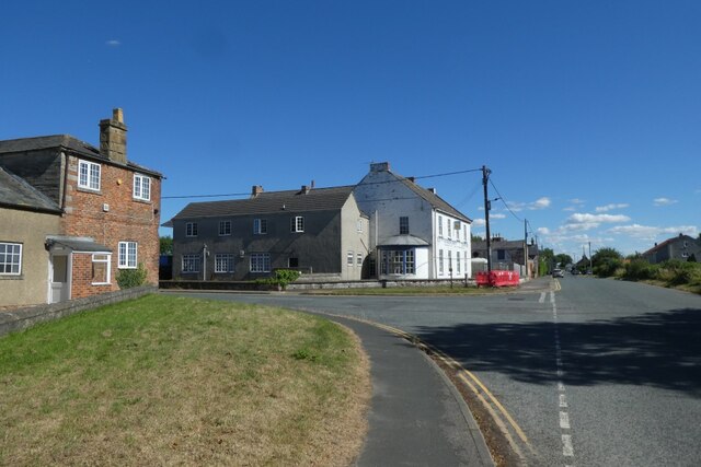
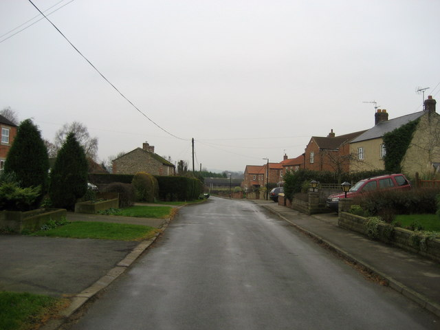
Londonderry Images
Images are sourced within 2km of 54.282252/-1.536105 or Grid Reference SE3087. Thanks to Geograph Open Source API. All images are credited.


Londonderry is located at Grid Ref: SE3087 (Lat: 54.282252, Lng: -1.536105)
Division: North Riding
Administrative County: North Yorkshire
District: Hambleton
Police Authority: North Yorkshire
What 3 Words
///evenly.procured.steps. Near Bedale, North Yorkshire
Nearby Locations
Related Wikis

Londonderry, North Yorkshire
Londonderry is a village near the Yorkshire Dales, England situated 4 miles (6 kilometres) south-east of Bedale, almost on the A1 road. It was part of...
Exelby
Exelby is a village in the Hambleton district of North Yorkshire, England. It is 2 miles (3.2 km) south-east of Bedale and 0.5 miles (0.8 km) west of the...
Exelby, Leeming and Londonderry
Exelby, Leeming and Londonderry (formerly Exelby, Leeming and Newton) is a civil parish in the Hambleton District of North Yorkshire, England. It contains...

RAF Leeming
Royal Air Force Leeming or more simply RAF Leeming is a Royal Air Force station located near Leeming, North Yorkshire, England. It was opened in 1940 and...

Theakston, North Yorkshire
Theakston is a village and civil parish in North Yorkshire, England. The population of the civil parish at the 2011 census was 143. == Geography == The...
Leeming, North Yorkshire
Leeming is a village in the North Yorkshire, England. == Geography == Leeming lies a mile east of the current A1(M) road, south of the larger village of...

Gatenby
Gatenby is a secluded village and civil parish in North Yorkshire, England. It is situated about two miles east of the A1(M) road, near to the River Swale...

Burneston
Burneston is a village and civil parish in North Yorkshire, England. According to the 2001 Census it had a population of 244, increasing to 311 at the...
Nearby Amenities
Located within 500m of 54.282252,-1.536105Have you been to Londonderry?
Leave your review of Londonderry below (or comments, questions and feedback).