Londonthorpe

Settlement in Lincolnshire South Kesteven

England

Londonthorpe

Belmount Tower Part of the Belton House estate.
Belmount Tower Credit: Richard Thomas

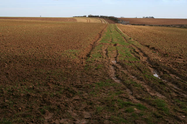
Londonthorpe is a small village located in the county of Lincolnshire, England. Situated approximately 2 miles south of Grantham, it is nestled in a rural area surrounded by open fields and farmland.

The village has a rich history that dates back to the Roman times, with evidence of Roman pottery and artifacts found in the area. The name "Londonthorpe" itself is believed to be derived from the Old English words "London" and "thorpe," meaning a farm or settlement associated with the city of London.

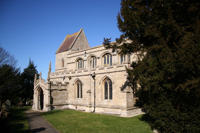
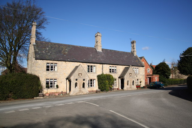
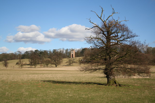
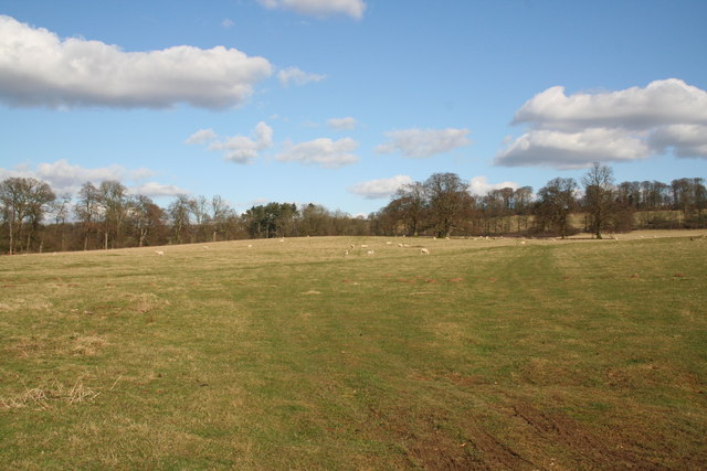
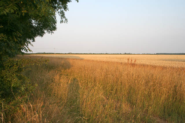
Londonthorpe is known for its picturesque countryside and peaceful atmosphere. It offers a serene escape from the hustle and bustle of nearby urban areas. The village is characterized by charming cottages and traditional English architecture. It also boasts a 12th-century church, St. John the Baptist, which is a prominent landmark in the area.

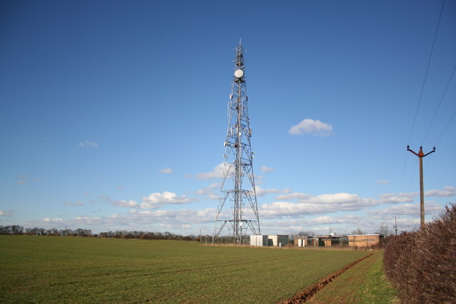
Despite its small size, Londonthorpe is well-connected to neighboring towns and cities. The nearby town of Grantham provides various amenities and services, including schools, shops, and healthcare facilities. The village also benefits from excellent transport links, with the A1 road passing nearby, offering easy access to major cities such as Nottingham and Peterborough.

Londonthorpe is a close-knit community, with a friendly and welcoming atmosphere. Residents enjoy a range of outdoor activities, including walking, cycling, and horse riding, thanks to the surrounding countryside. The village also hosts local events and gatherings, fostering a strong sense of community spirit.

If you have any feedback on the listing, please let us know in the comments section below.
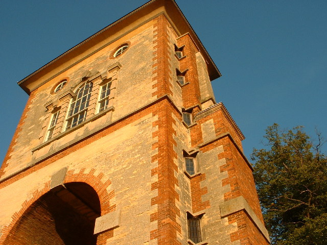
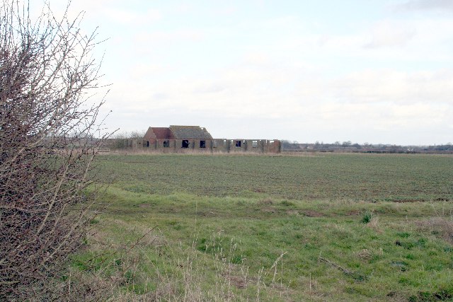
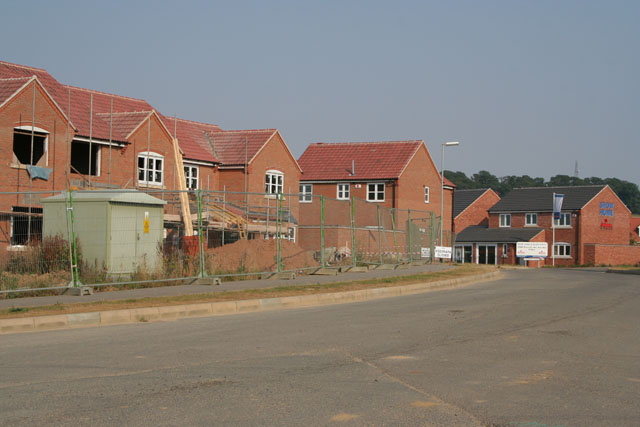
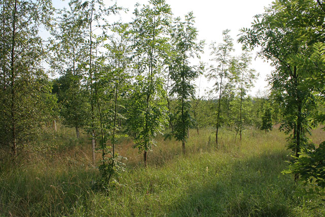
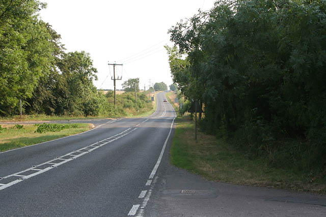
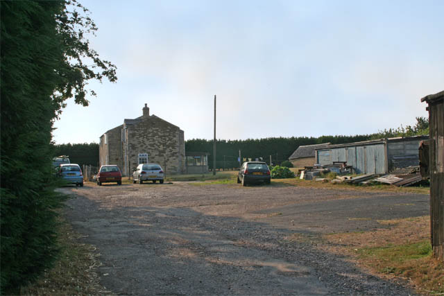
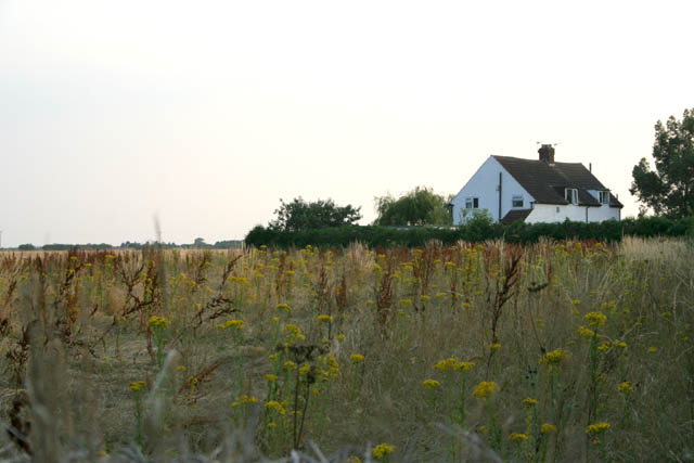
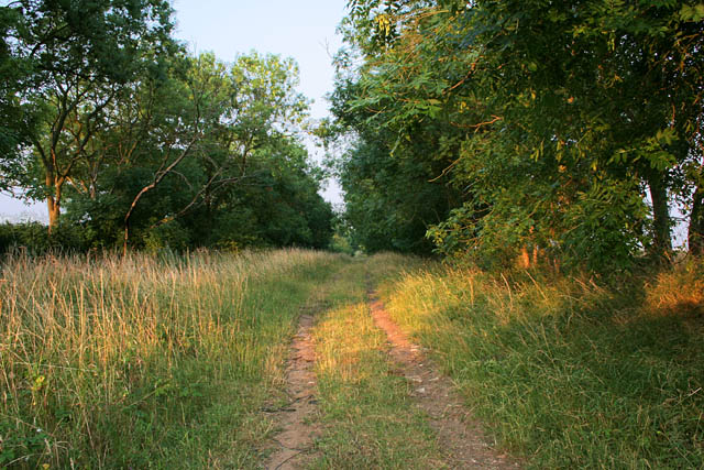
Londonthorpe Images

Images are sourced within 2km of 52.930618/-0.582803 or Grid Reference SK9537. Thanks to Geograph Open Source API. All images are credited.

Belmount Tower Part of the Belton House estate.
Belmount Tower
Part of the Belton House estate.
Old RAF building near Londonthorpe
St.John the Baptist's church, Londonthorpe, Lincs. A small and attractive hamlet with a fine church. Largely Early English and Decorated with a Perpendicular clerestorey and rare Victorian saddleback tower.
St.John the Baptist's church, Londonthorpe, Lincs.
A small and attractive hamlet with a fine church. Largely Early English and Decorated with a Perpendicular clerestorey and rare Victorian saddleback tower.
Londonthorpe estate cottages Belton Estate cottages in Londonthorpe dated 1849
Londonthorpe estate cottages
Belton Estate cottages in Londonthorpe dated 1849
Radio mast On the cliff between Harrowby and Londonthorpe
Radio mast
On the cliff between Harrowby and Londonthorpe
Bellmount Tower Not really a tower, more of a tall arch with a venetian window above, built in 1750 as a folly in Belton Park.
Bellmount Tower
Not really a tower, more of a tall arch with a venetian window above, built in 1750 as a folly in Belton Park.
Belton Park Looking north towards the cliff with Bracken Plantation to the left
Belton Park
Looking north towards the cliff with Bracken Plantation to the left
New housing, off Londonthorpe Lane, Grantham
Londonthorpe Wood To the south of Londonthorpe Lane the woodland is mature but to the north the Woodlands Trust and Landlife have planted mixed ash, birch and oak with wild flower undergrowth.
Londonthorpe Wood
To the south of Londonthorpe Lane the woodland is mature but to the north the Woodlands Trust and Landlife have planted mixed ash, birch and oak with wild flower undergrowth.
Harvested field On Welby Lane: waiting for the baler.
Harvested field
On Welby Lane: waiting for the baler.
B6403 looking towards Colsterworth Ermine Street, the Roman road from London to York, is also called High Dyke along this stretch.
B6403 looking towards Colsterworth
Ermine Street, the Roman road from London to York, is also called High Dyke along this stretch.
Pyewipe Cottages On Ermine Street: the only buildings in this square.
Pyewipe Cottages
On Ermine Street: the only buildings in this square.
Cottage on Harrowby Lane The field here has a wide margin of indigenous flowering plants.
Cottage on Harrowby Lane
The field here has a wide margin of indigenous flowering plants.
Green Lane near Harrowby This green lane is called Green Lane!
Green Lane near Harrowby
This green lane is called Green Lane!
Farmland off Green Lane There is a wide margin of indigenous planting in the margins of this field.
Farmland off Green Lane
There is a wide margin of indigenous planting in the margins of this field.
View from Bellmount Plantation Part of the Belton House Estate owned by the National Trust, this woodland covers a good proportion of the high ridge (125 metres above sea level) that straddles the western boundaries of  this square and the next one south. The house on the other side of the field is Belton Ashes.
View from Bellmount Plantation
Part of the Belton House Estate owned by the National Trust, this woodland covers a good proportion of the high ridge (125 metres above sea level) that straddles the western boundaries of this square and the next one south. The house on the other side of the field is Belton Ashes.
Belton Ashes This farmhouse is tucked against the western boundary of the featured square. The woodland behind is owned by the National Trust and forms the northeast boundary of the Belton Estate. The fields in front stretch right across this square to the east. The pale green tree behind the conifer in the centre of the photograph is a willow bursting into early leaf.
Belton Ashes
This farmhouse is tucked against the western boundary of the featured square. The woodland behind is owned by the National Trust and forms the northeast boundary of the Belton Estate. The fields in front stretch right across this square to the east. The pale green tree behind the conifer in the centre of the photograph is a willow bursting into early leaf.
Farmland near Bellmount Tower Looking along a rough farm track across farmland from the edge of the National Trust's Belton Estate.
Farmland near Bellmount Tower
Looking along a rough farm track across farmland from the edge of the National Trust's Belton Estate.
Show me another place!

Londonthorpe is located at Grid Ref: SK9537 (Lat: 52.930618, Lng: -0.582803)

Division: Parts of Kesteven

Administrative County: Lincolnshire

District: South Kesteven

Police Authority: Lincolnshire

What 3 Words

///precluded.rare.inner. Near Grantham, Lincolnshire

Nearby Locations

Londonthorpe

Related Wikis

Londonthorpe

Londonthorpe is a village in the civil parish of Londonthorpe and Harrowby Without, in South Kesteven district of Lincolnshire, England. It lies 3 miles...

RAF Belton Park

RAF Belton Park was established in 1942 as the Royal Air Force Regiment Depot, for training RAF Regiment personnel in airfield defence. Belton Park is...

Harrowby, Lincolnshire

Harrowby is a hamlet in the South Kesteven district of Lincolnshire, England. It lies 2 miles (3 km) east of the market town of Grantham. Harrowby was...

Londonthorpe and Harrowby Without

Londonthorpe and Harrowby Without is a civil parish in the South Kesteven district of Lincolnshire, England. According to the 2001 Census it had a population...

Nearby Amenities

Located within 500m of 52.930618,-0.582803
Londonthorpe
Is In: Lincolnshire, England, UK
Place: hamlet
Source: NPE
Lat/Long: 52.930943/-0.5826316
Bus Stop
Church Lane
Bus: yes
Naptan AtcoCode: 270000009002
Naptan Bearing: NE
Naptan CommonName: Church Lane
Naptan Indicator: adj
Naptan Landmark: Church Lane
Naptan NaptanCode: lingwmjg
Naptan Street: High Road
Naptan Verified: no
Public Transport: platform
Source: naptan_import
Lat/Long: 52.930655/-0.5830322
Bus Stop
Church Lane
Bus: yes
Naptan AtcoCode: 2700LL001809
Naptan Bearing: SW
Naptan CommonName: Church Lane
Naptan Indicator: opp
Naptan Landmark: Church Lane
Naptan NaptanCode: linampwg
Naptan Street: High Road
Naptan Verified: no
Public Transport: platform
Source: naptan_import
Lat/Long: 52.9305993/-0.5828852
Power: pole
Lat/Long: 52.9274597/-0.5877609
Power: pole
Lat/Long: 52.9284038/-0.5874059
Power: pole
Lat/Long: 52.9294036/-0.5870008
Power: pole
Lat/Long: 52.9301552/-0.5865456
Power: pole
Lat/Long: 52.9312445/-0.5862485
Power: pole
Lat/Long: 52.9320167/-0.5859587
Power: pole
Lat/Long: 52.9332249/-0.5854521
Power: pole
Lat/Long: 52.9343053/-0.5850186
Hall Farm
Place: farm
Source: Bing
Lat/Long: 52.9320453/-0.5830506
Manor Farm
Place: farm
Source: Bing
Lat/Long: 52.929221/-0.5826136
Grange Farm
Place: farm
Source: Bing
Lat/Long: 52.9308953/-0.5813739
The data included in this document is from www.openstreetmap.org. The data is made available under ODbL.

Have you been to Londonthorpe?

Leave your review of Londonthorpe below (or comments, questions and feedback).