Hilltop

Settlement in Worcestershire

England

Hilltop

Oldbury Fire Station, Junction 2 M5 Motorway
Oldbury Fire Station, Junction 2 M5 Motorway Credit: Roy Hughes

Hilltop is a quaint village located in the county of Worcestershire, England. Nestled in the picturesque countryside, it is characterized by its idyllic charm and tranquil atmosphere. The village is situated on a small hill, offering breathtaking views of the surrounding landscape.

Hilltop is home to a close-knit community, with a population of approximately 500 residents. The village is known for its strong sense of community spirit, with various local events and activities organized throughout the year. The residents take great pride in maintaining the village's traditional character and preserving its heritage.

The village boasts a range of amenities to cater to the needs of its residents. These include a local pub, a primary school, a village hall, and a small post office. Additionally, several shops and businesses can be found in the nearby town, providing easy access to essential services.

Nature lovers will find themselves in paradise in Hilltop, as the village is surrounded by stunning countryside. There are ample opportunities for outdoor activities such as walking, cycling, and horse riding. The nearby Hilltop Woods is a popular spot for nature enthusiasts, offering scenic trails and abundant wildlife.

Hilltop's location provides convenient access to larger towns and cities in Worcestershire. The village is well-connected by road, and public transport options are available for those who prefer not to drive.

In summary, Hilltop is a charming village in Worcestershire, offering a peaceful and close-knit community, beautiful natural surroundings, and convenient access to amenities and nearby towns.

If you have any feedback on the listing, please let us know in the comments section below.
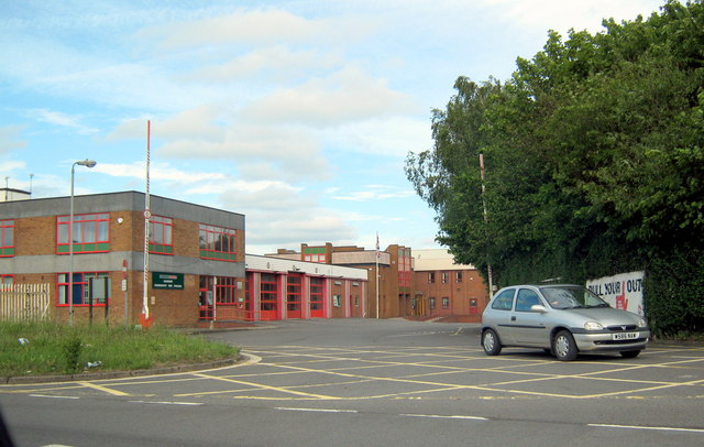
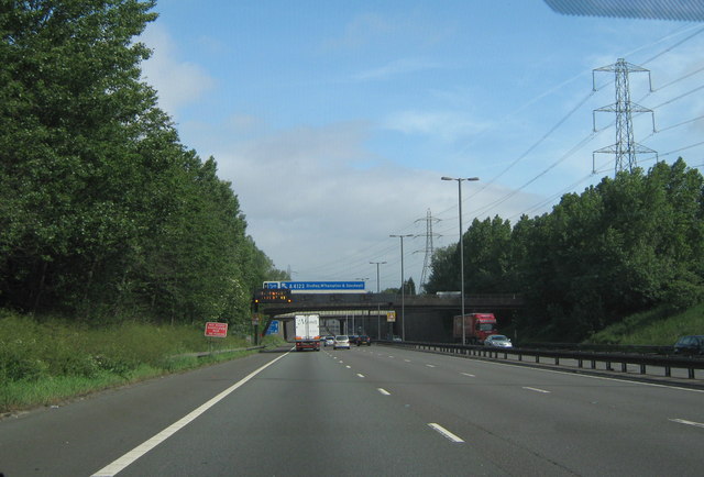
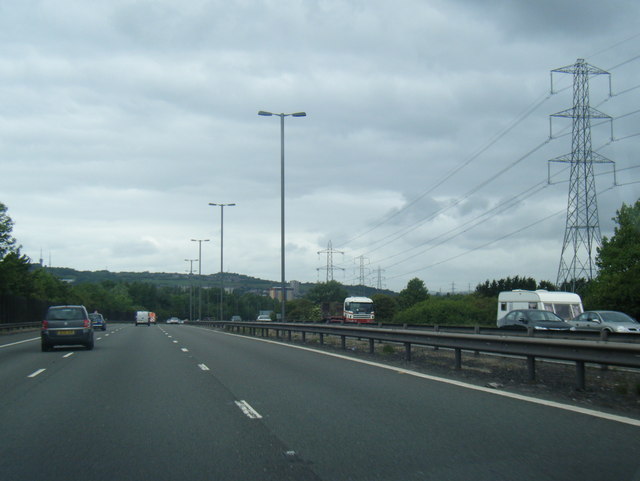
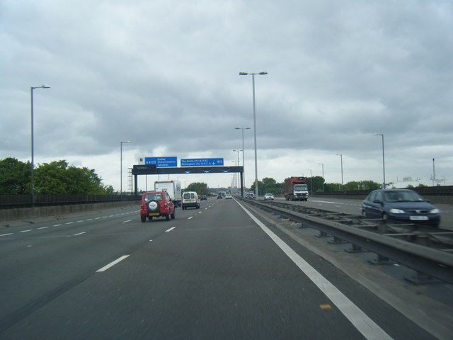
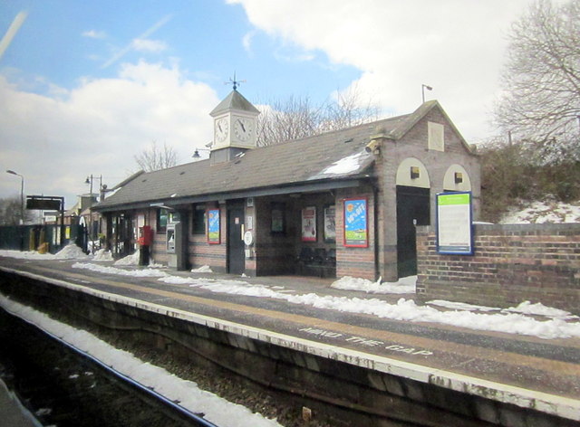
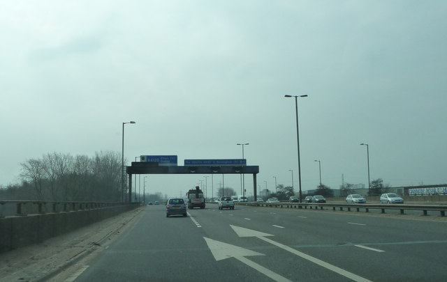
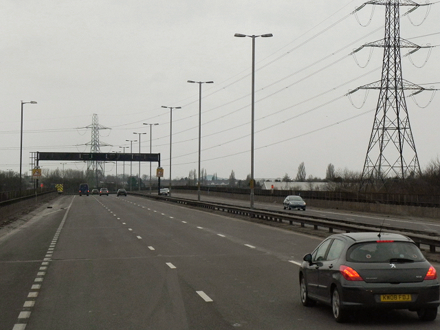
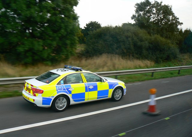
Hilltop Images

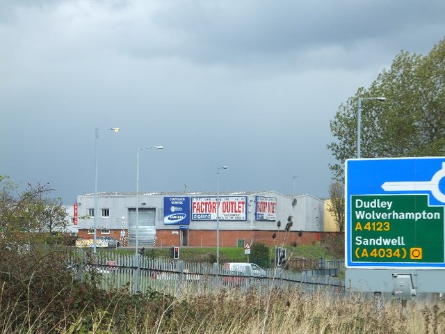
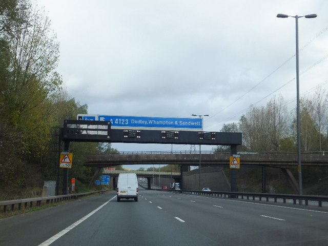
Images are sourced within 2km of 52.481715/-1.9979684 or Grid Reference SP0087. Thanks to Geograph Open Source API. All images are credited.

Oldbury Fire Station, Junction 2 M5 Motorway
M5 Motorway, B4169 Crossing Just Before Junction 3, Northboundj
M5 northbound near Blackheath
M5 northbound approaching junction 2
Industrial units at M5 junction 2 Units in Demuth Way, Langley seen from the slip road off the M5 northbound
Industrial units at M5 junction 2
Units in Demuth Way, Langley seen from the slip road off the M5 northbound
Motorway gantry over M5, with footbridge and road bridge beyond Advance warning for junction 2 of the M5
Motorway gantry over M5, with footbridge and road bridge beyond
Advance warning for junction 2 of the M5
Penncricket Lane bridge over M5
M5 northbound at junction 2
Tarmac's mortar plant - Oldbury This mortar plant operates from the same site as the adjacent concrete plant <a href="https://www.geograph.org.uk/photo/2820133">SO9988 : Tarmac's concrete plant - Oldbury</a>, supplying ready-to-use bricklaying mortar throughout the West Mids.
Tarmac's mortar plant - Oldbury
This mortar plant operates from the same site as the adjacent concrete plant SO9988 : Tarmac's concrete plant - Oldbury, supplying ready-to-use bricklaying mortar throughout the West Mids.
Tarmac's concrete plant - Oldbury This plant, tucked away between the canal and the railway, supplies readymixed concrete within a radius of 4 or 5 miles.
Tarmac's concrete plant - Oldbury
This plant, tucked away between the canal and the railway, supplies readymixed concrete within a radius of 4 or 5 miles.
Langley Green railway station Opened in 1885 by the Great Western Railway on the line from Birmingham Snow Hill to Stourbridge. View south towards Rowley Regis and Stourbridge. Just out of view to the right is the former branch line platform to Oldbury Town.
Langley Green railway station
Opened in 1885 by the Great Western Railway on the line from Birmingham Snow Hill to Stourbridge. View south towards Rowley Regis and Stourbridge. Just out of view to the right is the former branch line platform to Oldbury Town.
Footbridge, Langley Green Station
Langley Green Station
M5 approaching Junction 2
Southbound M5, Titford The M5 runs 163 miles from a junction with the M6 at West Bromwich near Birmingham to Exeter in Devon. Constructed between 1962 & 1977. It links the North and Midlands with the South west. <span class="nowrap"><a title="http://en.wikipedia.org/wiki/M5_motorway" rel="nofollow ugc noopener" href="http://en.wikipedia.org/wiki/M5_motorway">Link</a><img style="margin-left:2px;" alt="External link" title="External link - shift click to open in new window" src="https://s1.geograph.org.uk/img/external.png" width="10" height="10"/></span>
Southbound M5, Titford
The M5 runs 163 miles from a junction with the M6 at West Bromwich near Birmingham to Exeter in Devon. Constructed between 1962 & 1977. It links the North and Midlands with the South west. LinkExternal link
Police car, M5 south of Jct 2, West Midlands The innocuous-looking cop car is cruising gently on the southbound hard shoulder through the roadworks. Appearances can be deceptive. This Audi has an eco-friendly Diesel engine producing a healthy 245 Pferdestärken (German horsepower), a real Q car.
Police car, M5 south of Jct 2, West Midlands
The innocuous-looking cop car is cruising gently on the southbound hard shoulder through the roadworks. Appearances can be deceptive. This Audi has an eco-friendly Diesel engine producing a healthy 245 Pferdestärken (German horsepower), a real Q car.
Birmingham : The M5 Motorway The M5 Motorway heading through the city of Birmingham.
Birmingham : The M5 Motorway
The M5 Motorway heading through the city of Birmingham.
Birmingham : The M5 Motorway Approaching junction 2 of the M5 Motorway with signs directing to Dudley, Wolverhampton and Sandwell.
Birmingham : The M5 Motorway
Approaching junction 2 of the M5 Motorway with signs directing to Dudley, Wolverhampton and Sandwell.
Show me another place!

Hilltop is located at Grid Ref: SP0087 (Lat: 52.481715, Lng: -1.9979684)

Unitary Authority: Sandwell

Police Authority: West Midlands

What 3 Words

///cycle.locals.pardon. Near Smethwick, West Midlands

Nearby Locations

Hilltop Londonderry

Related Wikis

Smethwick (UK Parliament constituency)

Smethwick was a parliamentary constituency, centred on the town of Smethwick in Staffordshire. It returned one Member of Parliament (MP) to the House of...

Warley, West Midlands

Warley is a residential area of Oldbury in the Metropolitan Borough of Sandwell in the West Midlands of the United Kingdom. Historically in both Worcestershire...

Bristnall Hall Academy

Bristnall Hall Academy (formerly Bristnall Hall Technology College and Bristnall Hall High School) is a secondary school with academy status located in...

Q3 Academy Langley

Q3 Academy Langley is a coeducational secondary school located in the Langley Green area of Oldbury in the West Midlands of England.There has been a school...

Related Videos

Walking The Birmingham Old Mainline Canal (Part 2)

The second part of three of a towpath walk along the Birmingham Old Mainline Canal from Spon Lane Junction to Brades Hall ...

Walking on a snowy day

Barnard Park Oldbury 30th January 2021.

Nearby Amenities

Located within 500m of 52.481715,-1.9979684
Turning Circle
Lat/Long: 52.4815834/-1.9966341
Turning Circle
Lat/Long: 52.4823862/-2.0010124
Turning Circle
Lat/Long: 52.4802807/-1.9974695
Turning Circle
Lat/Long: 52.4790103/-2.0016244
Crossing
Crossing: zebra
Lat/Long: 52.4833487/-1.996167
Neighbourhood Office
Bristnall Neighbourhood Office
Lat/Long: 52.4816139/-1.9991196
Post Box
Operator: Royal Mail
Operator Wikidata: Q638098
Postal Code: B68
Ref: B68 385
Lat/Long: 52.4822338/-1.9977911
Man Made: mast
Tower Type: communication
Lat/Long: 52.4806294/-1.999175
Turning Circle
Lat/Long: 52.4795975/-2.0014274
Turning Circle
Lat/Long: 52.481214/-2.0023182
Pub
The Plough
Addr Housenumber: 7
Addr Postcode: B68 9LH
Addr Street: George Road
Fhrs Id: 80277
Source Addr: FHRS Open Data
Lat/Long: 52.4792096/-2.0033813
Booth: K6
Removed Amenity: telephone
Lat/Long: 52.479719/-2.0042947
Post Office
Bristnall Fields Post Office
Addr City: Warley
Addr Housenumber: 257
Addr Postcode: B68 8NQ
Addr Street: Pound Road
Brand: Post Office
Brand Wikidata: Q1783168
Opening Hours: Mo-Fr 09:00-17:30; Sa 09:00-14:30
Ref Pol Id: 10670
Website: https://www.postoffice.co.uk/branch-finder/268246x/bristnall-fields
Lat/Long: 52.4795157/-2.0044071
Post Box
Operator: Royal Mail
Operator Wikidata: Q638098
Postal Code: B68
Ref: B68 175
Lat/Long: 52.4795646/-2.0043223
Bus Stop
Salop Rd / Princess Rd
Asset Ref: 0941801
Bus: yes
Location: Salop Road;Princess Road
Naptan AtcoCode: 43000941801
Naptan Bearing: SE
Naptan BusStopType: MKD
Naptan CommonName: Princess Rd
Naptan Indicator: before
Naptan NaptanCode: nwmtwdaw
Naptan PlusbusZoneRef: BHAMNWS
Naptan Status: ACT
Naptan StopType: BCT
Naptan Street: SALOP RD
Naptan Towards: West Bromwich
Public Transport: platform
Route Ref: 50C;54
Shelter: yes
Source: WMCA
Lat/Long: 52.4788153/-1.9925137
Salop Rd / Princess Rd
Naptan AtcoCode: 43000941802
Naptan Bearing: NW
Naptan BusStopType: CUS
Naptan CommonName: Princess Rd
Naptan Indicator: after
Naptan NaptanCode: nwmtwdmd
Naptan PlusbusZoneRef: BHAMNWS
Naptan Status: ACT
Naptan StopType: BCT
Naptan Street: SALOP RD
Naptan Towards: Bearwood
Naptan Verified: no
Route Ref: 50A;54
Source: WMCA
Lat/Long: 52.4787678/-1.992612
Bus Stop
Edmonds Rd / Salop Rd
Asset Ref: 0941902
Bus: yes
Location: Edmonds Road;The Horseshoe
Naptan AtcoCode: 43000941902
Naptan Bearing: NE
Naptan BusStopType: MKD
Naptan CommonName: Salop Rd
Naptan Indicator: before
Naptan NaptanCode: nwmtwdgd
Naptan PlusbusZoneRef: BHAMNWS
Naptan Status: ACT
Naptan StopType: BCT
Naptan Street: EDMONDS RD
Naptan Towards: Smethwick
Public Transport: platform
Route Ref: 54
Shelter: no
Source: WMCA
Towards: West Bromwich
Lat/Long: 52.478334/-1.9963478
Bus Stop
Bristnall Hall Lane / Bristnall Hall School
Asset Ref: 0952601
Bus: yes
Location: Bristnall Hall Lane;Bristnall Hall School
Naptan AtcoCode: 43000952601
Naptan Bearing: W
Naptan BusStopType: MKD
Naptan CommonName: Bristnall Hall School
Naptan Indicator: opp
Naptan NaptanCode: nwmtwdjw
Naptan PlusbusZoneRef: BHAMNWS
Naptan Status: ACT
Naptan StopType: BCT
Naptan Street: BRISTNALL HALL LANE
Naptan Towards: Brandhall
Opposite: yes
Public Transport: platform
Route Ref: 55
Shelter: no
Source: WMCA
Lat/Long: 52.4833203/-1.9939394
Bus Stop
Bristnall Hall Lane / Bristnall Hall School
Bus: yes
Naptan AtcoCode: 43000952602
Naptan Bearing: E
Naptan BusStopType: MKD
Naptan CommonName: Bristnall Hall School
Naptan Indicator: adj
Naptan NaptanCode: nwmtwdma
Naptan PlusbusZoneRef: BHAMNWS
Naptan Status: ACT
Naptan StopType: BCT
Naptan Street: BRISTNALL HALL LANE
Naptan Towards: Smethwick
Naptan Verified: no
Public Transport: platform
Route Ref: 55
Source: WMCA
Lat/Long: 52.483452/-1.9938299
Edmonds Rd / Salop Rd
Naptan AtcoCode: 43000953001
Naptan Bearing: NE
Naptan BusStopType: CUS
Naptan CommonName: Salop Rd
Naptan Indicator: before
Naptan NaptanCode: nwmtwpgj
Naptan PlusbusZoneRef: BHAMNWS
Naptan Status: ACT
Naptan StopType: BCT
Naptan Street: EDMONDS RD
Naptan Towards: West Bromwich
Naptan Verified: no
Route Ref: 54
Source: WMCA
Lat/Long: 52.4798739/-1.9947875
Bus Stop
George Rd / Hill Top Rd
Bench: no
Bin: no
Bus: yes
Lit: no
Naptan AtcoCode: 43000932501
Naptan Bearing: SE
Naptan BusStopType: MKD
Naptan CommonName: Hill Top Rd
Naptan Indicator: adj
Naptan Landmark: Warley Primary School
Naptan NaptanCode: nwmpdmgt
Naptan PlusbusZoneRef: BHAMNWS
Naptan Status: ACT
Naptan StopType: BCT
Naptan Street: GEORGE RD
Naptan Towards: Bearwood
Naptan Verified: no
Public Transport: platform
Route Ref: 50A;122;128;129
Shelter: no
Source: WMCA
Tactile Paving: no
Lat/Long: 52.4774197/-1.9993522
Bus Stop
George Rd / Hill Top Rd
Bench: no
Bin: no
Bus: yes
Lit: yes
Naptan AtcoCode: 43000932502
Naptan Bearing: NW
Naptan BusStopType: MKD
Naptan CommonName: Hill Top Rd
Naptan Indicator: opp
Naptan Landmark: Warley Primary School
Naptan NaptanCode: nwmpdmgw
Naptan PlusbusZoneRef: BHAMNWS
Naptan Status: ACT
Naptan StopType: BCT
Naptan Street: GEORGE RD
Naptan Towards: Oldbury
Naptan Verified: no
Public Transport: platform
Route Ref: 50C;122;128;129
Shelter: no
Source: WMCA
Tactile Paving: no
Lat/Long: 52.4776449/-2.0005664
Bus Stop
George Rd / Bristnall Fields
NaPTANAreaCode: 43000932601
Asset Ref: 307160
Bench: yes
Bin: yes
Bus: yes
Lit: yes
Location: George Road;Bristall Fields
Naptan AtcoCode: 43000932601
Naptan Bearing: NW
Naptan BusStopType: MKD
Naptan CommonName: Bristnall Fields
Naptan Indicator: before
Naptan NaptanCode: nwmpdmja
Naptan PlusbusZoneRef: BHAMNWS
Naptan Status: ACT
Naptan StopType: BCT
Naptan Street: GEORGE RD
Naptan Towards: Oldbury
Public Transport: platform
Route Ref: 50C;122;128;129
Shelter: yes
Shelter Ref: 307160
Source: WMCA
Tactile Paving: no
Lat/Long: 52.4791878/-2.0032581
Bus Stop
George Rd / Bristnall Fields
NaPTANAreaCode: 43000932602
Bench: yes
Bin: yes
Bus: yes
Lit: yes
Naptan AtcoCode: 43000932602
Naptan Bearing: SE
Naptan BusStopType: MKD
Naptan CommonName: Bristnall Fields
Naptan Indicator: after
Naptan NaptanCode: nwmpdmjd
Naptan PlusbusZoneRef: BHAMNWS
Naptan Status: ACT
Naptan StopType: BCT
Naptan Street: GEORGE RD
Naptan Towards: Bearwood
Naptan Verified: no
Public Transport: platform
Route Ref: 50A;122;128;129
Shelter: yes
Shelter Ref: 307112
Source: WMCA
Tactile Paving: no
Lat/Long: 52.4791531/-2.003038
Bus Stop
Hill Top Rd / Sandfields Rd
Asset Ref: 0932701
Bus: yes
Location: Hill Top Road
Naptan AtcoCode: 43000932701
Naptan Bearing: W
Naptan BusStopType: MKD
Naptan CommonName: Sandfields Rd
Naptan Indicator: after
Naptan NaptanCode: nwmpdmjg
Naptan PlusbusZoneRef: BHAMNWS
Naptan Status: ACT
Naptan StopType: BCT
Naptan Street: HILL TOP RD
Naptan Towards: Brandhall
Public Transport: platform
Route Ref: 55
Shelter: yes
Source: WMCA
Towards: Brandhall
Lat/Long: 52.4792097/-1.998232
Bus Stop
Hill Top Rd / Sandfields Rd
Asset Ref: 0932702
Bus: yes
Location: Hill Top Road;Sandfields Road
Naptan AtcoCode: 43000932702
Naptan Bearing: NE
Naptan BusStopType: MKD
Naptan CommonName: Sandfields Rd
Naptan Indicator: before
Naptan NaptanCode: nwmpdmjm
Naptan PlusbusZoneRef: BHAMNWS
Naptan Status: ACT
Naptan StopType: BCT
Naptan Street: HILL TOP RD
Naptan Towards: Smethwick
Public Transport: platform
Route Ref: 55
Shelter: no
Source: WMCA
Lat/Long: 52.4798014/-1.996713
Bus Stop
Bristnall Hall Rd / Knottsall Lane
Asset Ref: 0934301
Bus: yes
Location: Bristnall Hall Road;Knottsall Lane
Naptan AtcoCode: 43000934301
Naptan Bearing: SW
Naptan BusStopType: MKD
Naptan CommonName: Knottsall Lane
Naptan Indicator: opp
Naptan NaptanCode: nwmtdmgt
Naptan PlusbusZoneRef: BHAMNWS
Naptan Status: ACT
Naptan StopType: BCT
Naptan Street: BRISTNALL HALL RD
Naptan Towards: Bearwood
Public Transport: platform
Route Ref: 50A;128
Shelter: no
Source: WMCA
Towards: Smethwick
Lat/Long: 52.4812441/-2.0007228
Bus Stop
Bristnall Hall Rd / Knottsall Lane
Asset Ref: 0934302
Bus: yes
Location: Bristall Hall Road;Knottsall Lane
Naptan AtcoCode: 43000934302
Naptan Bearing: NE
Naptan BusStopType: MKD
Naptan CommonName: Knottsall Lane
Naptan Indicator: before
Naptan NaptanCode: nwmtdmgw
Naptan PlusbusZoneRef: BHAMNWS
Naptan Status: ACT
Naptan StopType: BCT
Naptan Street: BRISTNALL HALL RD
Naptan Towards: Oldbury
Public Transport: platform
Route Ref: 50C;128
Shelter: no
Source: WMCA
Towards: Blackheath
Lat/Long: 52.4810637/-2.0011122
Bus Stop
Salop Rd / Eva Rd
Bus: yes
Naptan AtcoCode: 43000934401
Naptan Bearing: N
Naptan BusStopType: MKD
Naptan CommonName: Eva Rd
Naptan Indicator: after
Naptan NaptanCode: nwmpdpag
Naptan PlusbusZoneRef: BHAMNWS
Naptan Status: ACT
Naptan StopType: BCT
Naptan Street: SALOP RD
Naptan Towards: Bearwood
Naptan Verified: no
Public Transport: platform
Route Ref: 50A;55
Source: WMCA
Lat/Long: 52.4813753/-1.9956561
Bus Stop
Salop Rd / Eva Rd
Asset Ref: 0934402
Bus: yes
Location: Salop Road;Eva Road
Naptan AtcoCode: 43000934402
Naptan Bearing: S
Naptan BusStopType: MKD
Naptan CommonName: Eva Rd
Naptan Indicator: before
Naptan NaptanCode: nwmpdpaj
Naptan PlusbusZoneRef: BHAMNWS
Naptan Status: ACT
Naptan StopType: BCT
Naptan Street: SALOP RD
Naptan Towards: West Bromwich
Public Transport: platform
Route Ref: 50C;55
Shelter: no
Source: WMCA
Lat/Long: 52.4813881/-1.99555
Bus Stop
Salop Rd / Bristnall Hall Lane
Asset Ref: 0934503
Bus: yes
Location: Salop Road;Bristnall Hall Lane
Naptan AtcoCode: 43000934503
Naptan Bearing: N
Naptan BusStopType: MKD
Naptan CommonName: Bristnall Hall Lane
Naptan Indicator: before
Naptan NaptanCode: nwmpdpam
Naptan PlusbusZoneRef: BHAMNWS
Naptan Status: ACT
Naptan StopType: BCT
Naptan Street: SALOP RD
Naptan Towards: Bearwood
Public Transport: platform
Route Ref: 50A;55
Shelter: no
Source: WMCA
Lat/Long: 52.4827958/-1.9961632
Bus Stop
Salop Rd / Bristnall Hall Lane
Bus: yes
Naptan AtcoCode: 43000934504
Naptan Bearing: S
Naptan BusStopType: MKD
Naptan CommonName: Bristnall Hall Lane
Naptan Indicator: after
Naptan NaptanCode: nwmpdpap
Naptan PlusbusZoneRef: BHAMNWS
Naptan Status: ACT
Naptan StopType: BCT
Naptan Street: SALOP RD
Naptan Towards: West Bromwich
Naptan Verified: no
Public Transport: platform
Route Ref: 50C;55
Source: WMCA
Lat/Long: 52.482661/-1.9959947
Bus Stop
Brookfields Rd / Moore Crescent
Asset Ref: 0934601
Bus: yes
Location: Brookfields Road;Moore Crescent
Naptan AtcoCode: 43000934601
Naptan Bearing: S
Naptan BusStopType: MKD
Naptan CommonName: Moore Crescent
Naptan Indicator: opp
Naptan NaptanCode: nwmpdpat
Naptan PlusbusZoneRef: BHAMNWS
Naptan Status: ACT
Naptan StopType: BCT
Naptan Street: BROOKFIELDS RD
Naptan Towards: Bearwood
Public Transport: platform
Route Ref: 128
Shelter: no
Source: WMCA
Towards: Warley
Lat/Long: 52.4856397/-1.9974523
Bus Stop
Brookfields Rd / Moore Crescent
Asset Ref: 0934602
Bus: yes
Location: Brookfields Road;Moore Crescent
Naptan AtcoCode: 43000934602
Naptan Bearing: N
Naptan BusStopType: MKD
Naptan CommonName: Moore Crescent
Naptan Indicator: adj
Naptan NaptanCode: nwmpdpaw
Naptan PlusbusZoneRef: BHAMNWS
Naptan Status: ACT
Naptan StopType: BCT
Naptan Street: BROOKFIELDS RD
Naptan Towards: Oldbury
Public Transport: platform
Route Ref: 128
Shelter: no
Source: WMCA
Towards: Rood End
Lat/Long: 52.4849906/-1.997444
Bus Stop
Hurst Rd / Eva Rd
Bus: yes
Naptan AtcoCode: 43000937102
Naptan Bearing: N
Naptan BusStopType: MKD
Naptan CommonName: Eva Rd
Naptan Indicator: before
Naptan NaptanCode: nwmpdpwa
Naptan PlusbusZoneRef: BHAMNWS
Naptan Status: ACT
Naptan StopType: BCT
Naptan Street: HURST RD
Naptan Towards: West Bromwich
Naptan Verified: no
Public Transport: platform
Route Ref: 48;50C
Source: WMCA
Lat/Long: 52.4826427/-1.9907525
Bus Stop
Salop Rd / Edmonds Rd
Asset Ref: 0937601
Bus: yes
Location: Salop Road;Edmonds Road
Naptan AtcoCode: 43000937601
Naptan Bearing: NW
Naptan BusStopType: MKD
Naptan CommonName: Edmonds Rd
Naptan Indicator: before
Naptan NaptanCode: nwmtdmjw
Naptan PlusbusZoneRef: BHAMNWS
Naptan Status: ACT
Naptan StopType: BCT
Naptan Street: SALOP RD
Naptan Towards: Bearwood
Public Transport: platform
Route Ref: 50A;54
Shelter: no
Source: WMCA
Towards: Bearwood
Lat/Long: 52.4799354/-1.9944601
Bus Stop
Bristnall Hall Rd / Moat Farm School
Bus: yes
Naptan AtcoCode: 43009120101
Naptan Bearing: SW
Naptan BusStopType: MKD
Naptan CommonName: Moat Farm School
Naptan Indicator: after
Naptan NaptanCode: nwmpmtdg
Naptan PlusbusZoneRef: BHAMNWS
Naptan Status: ACT
Naptan StopType: BCT
Naptan Street: BRISTNALL HALL RD
Naptan Towards: Bearwood
Naptan Verified: no
Public Transport: platform
Route Ref: 50A;128
Source: WMCA
Lat/Long: 52.4825401/-1.9973263
Bus Stop
Bristnall Hall Rd / Moat Farm School
Bus: yes
Naptan AtcoCode: 43009120102
Naptan Bearing: NE
Naptan BusStopType: MKD
Naptan CommonName: Moat Farm School
Naptan Indicator: opp
Naptan NaptanCode: nwmpmtdj
Naptan PlusbusZoneRef: BHAMNWS
Naptan Status: ACT
Naptan StopType: BCT
Naptan Street: BRISTNALL HALL RD
Naptan Towards: Oldbury
Naptan Verified: no
Public Transport: platform
Route Ref: 50C;128
Source: WMCA
Lat/Long: 52.4828947/-1.9968635
Tesco Express
Addr Postcode: B68 9TX
Addr Street: Bristnall Hall Road
Brand: Tesco Express
Brand Wikidata: Q98456772
Fhrs Id: 146058
Shop: convenience
Source Addr: FHRS Open Data
Website: https://www.tesco.com/store-locator/birmingham/bristnall-hall-rd
Lat/Long: 52.4817249/-1.9985526
Barrier: bollard
Lat/Long: 52.4795026/-2.0040461
Barrier: bollard
Lat/Long: 52.4793874/-2.0041185
Barrier: bollard
Lat/Long: 52.4794609/-2.004038
Barrier: bollard
Lat/Long: 52.4794805/-2.0040367
Costcutter
Addr Housenumber: 259
Addr Postcode: B68 8NQ
Addr Street: Pound Road
Brand: Costcutter
Brand Wikidata: Q5175072
Brand Wikipedia: en:Costcutter
Contact Website: https://store-locator.costcutter.co.uk/costcutter-644c7cd55ccd
Fhrs Id: 575808
Shop: convenience
Source Addr: FHRS Open Data
Lat/Long: 52.4794488/-2.0043387
Barrier: bollard
Lat/Long: 52.4794233/-2.0040742
Barrier: bollard
Lat/Long: 52.4794405/-2.0040501
Barrier: bollard
Lat/Long: 52.4795467/-2.0041641
Barrier: bollard
Lat/Long: 52.479532/-2.0040917
Barrier: bollard
Lat/Long: 52.4794054/-2.004097
Barrier: bollard
Lat/Long: 52.4793678/-2.0041359
Barrier: bollard
Lat/Long: 52.4795418/-2.0041279
Barrier: bollard
Lat/Long: 52.4795197/-2.0040662
Bristnall Hall Fields
Place: village
Lat/Long: 52.4792997/-2.0038181
Bench
Lat/Long: 52.4803509/-1.999135
Hilltop
Place: hamlet
Lat/Long: 52.4794626/-1.998276
Carl's Convenience
Addr Housenumber: 92
Addr Postcode: B68 9QL
Addr Street: Pryor Road
Fhrs Id: 137739
Shop: convenience
Source Addr: FHRS Open Data
Lat/Long: 52.4835144/-1.9968416
Barrier: bollard
Lat/Long: 52.48394/-1.9978971
Barrier: bollard
Lat/Long: 52.4839294/-1.998231
Barrier: bollard
Lat/Long: 52.4839016/-1.9985851
Barrier: bollard
Lat/Long: 52.4839237/-1.998459
Barrier: bollard
Lat/Long: 52.4839351/-1.9980366
Barrier: bollard
Lat/Long: 52.4839286/-1.9983424
Barrier: bollard
Lat/Long: 52.4839335/-1.9981224
Barrier: bollard
Lat/Long: 52.483927/-1.9983772
Barrier: bollard
Lat/Long: 52.4839253/-1.9984885
Barrier: bollard
Lat/Long: 52.4839286/-1.9983008
Barrier: bollard
Lat/Long: 52.4839294/-1.9982579
Barrier: bollard
Lat/Long: 52.483927/-1.9984228
Barrier: bollard
Lat/Long: 52.4839302/-1.9981921
Barrier: bollard
Lat/Long: 52.4839375/-1.9979762
Barrier: bollard
Lat/Long: 52.4838853/-1.9986186
Barrier: bollard
Lat/Long: 52.4839367/-1.997932
Barrier: bollard
Lat/Long: 52.4839335/-1.9981519
Barrier: bollard
Lat/Long: 52.4839343/-1.9980768
Barrier: bollard
Lat/Long: 52.4838616/-1.9986642
Barrier: bollard
Lat/Long: 52.483936/-1.9980138
Barrier: bollard
Lat/Long: 52.483918/-1.9985368
Tourism: viewpoint
Lat/Long: 52.4803186/-1.9991793
Source: bing
Lat/Long: 52.479713/-1.9928847
Warley Hill
Ele: 228
Natural: peak
Source Ele: Digimaps
Lat/Long: 52.4808971/-1.9990627
Turning Circle
Lat/Long: 52.4859148/-1.9989887
Moat Farm
Place: hamlet
Lat/Long: 52.4834017/-1.9964054
The Beeches
Place: hamlet
Lat/Long: 52.4820926/-1.9983635
Vending Machine
Bristnall Fields
Category: Stop
Mode: Bus
Naptan: 43000980102
Operator: TfWM
Payment: no
Postal Code: B68 9LF
Public Transport Ticket: Swift Card
Shelter: 307160
Source: TfWM
Top Up: yes
Vending: public_transport_tickets
Lat/Long: 52.479144/-2.0032396
The Tanning Shop
Addr City: Oldbury
Addr Housenumber: 435
Addr Postcode: B68 8EJ
Addr Street: Moat Road
Leisure: tanning_salon
Phone: +44 121 544 1313
Website: https://thetanningshop.co.uk/oldbury/
Lat/Long: 52.4798031/-2.0040989
Parking
Lat/Long: 52.4788286/-1.9938361
Generator Method: photovoltaic
Generator Output Electricity: yes
Generator Source: solar
Generator Type: solar_photovoltaic_panel
Power: generator
Lat/Long: 52.4799134/-1.9984469
Generator Method: photovoltaic
Generator Output Electricity: yes
Generator Source: solar
Generator Type: solar_photovoltaic_panel
Power: generator
Lat/Long: 52.4830685/-1.9948956
Generator Method: photovoltaic
Generator Output Electricity: yes
Generator Source: solar
Generator Type: solar_photovoltaic_panel
Location: roof
Power: generator
Lat/Long: 52.4801772/-2.0029731
The data included in this document is from www.openstreetmap.org. The data is made available under ODbL.

Have you been to Hilltop?

Leave your review of Hilltop below (or comments, questions and feedback).