Rubha Thòrrnish

Coastal Feature, Headland, Point in Argyllshire

Scotland

Rubha Thòrrnish

Fairy Hill Cottage The eye-catching holiday rental of Fairy Hill by Ardilistry.
Fairy Hill Cottage Credit: Andrew Wood

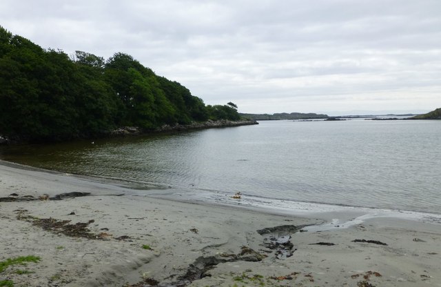
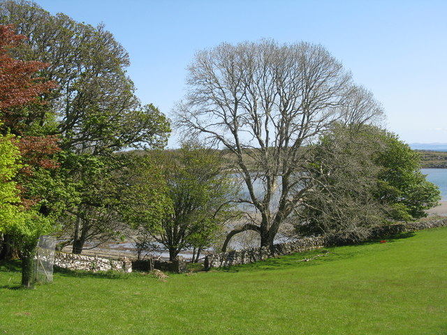
Rubha Thòrrnish is a picturesque headland located in Argyllshire, Scotland. Situated on the western coast, it is known for its stunning natural beauty and rich history. The headland juts out into the Atlantic Ocean, offering breathtaking views of the surrounding landscape.

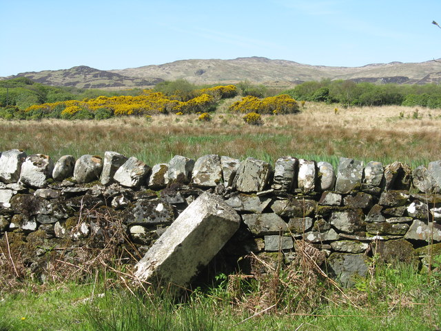
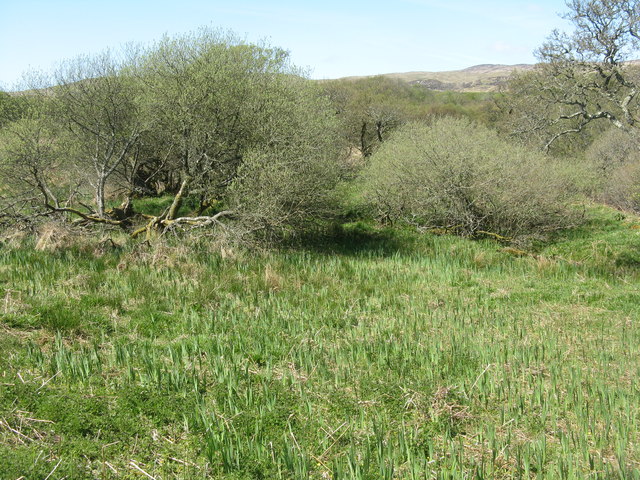
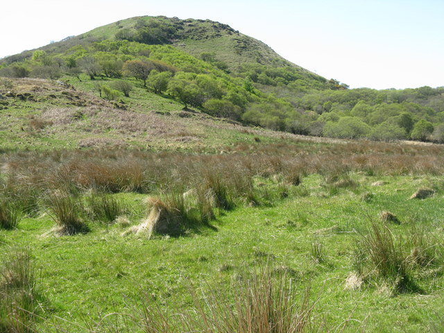
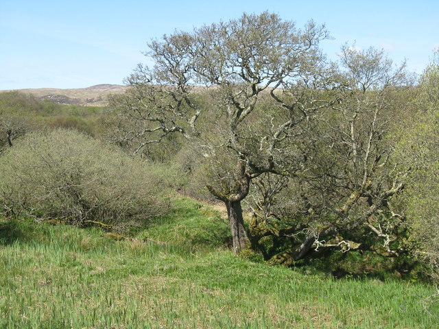
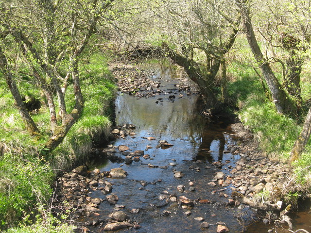
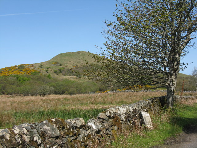
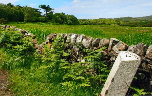
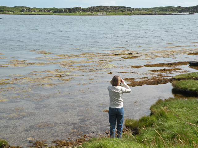
The rugged cliffs of Rubha Thòrrnish provide a dramatic backdrop to the crashing waves below. The headland is characterized by its steep slopes, which are covered in lush vegetation and heather. The area is home to a diverse range of flora and fauna, including seabirds, seals, and various species of wildflowers.

In addition to its natural splendor, Rubha Thòrrnish holds historical significance. The ruins of a 13th-century castle can be found on the headland, serving as a reminder of the area's medieval past. The castle was once a strategic stronghold, offering commanding views of the surrounding sea. Today, it stands as a fascinating relic, attracting history enthusiasts from near and far.

Visitors to Rubha Thòrrnish can explore the headland via a network of trails that wind through the landscape. These paths provide an opportunity to immerse oneself in the tranquility of the area, while also offering glimpses of the diverse wildlife that call Rubha Thòrrnish home.

Overall, Rubha Thòrrnish is a captivating coastal feature that combines natural beauty with historical intrigue. Its rugged cliffs, diverse wildlife, and ancient ruins make it a must-visit destination for nature lovers and history buffs alike.

If you have any feedback on the listing, please let us know in the comments section below.

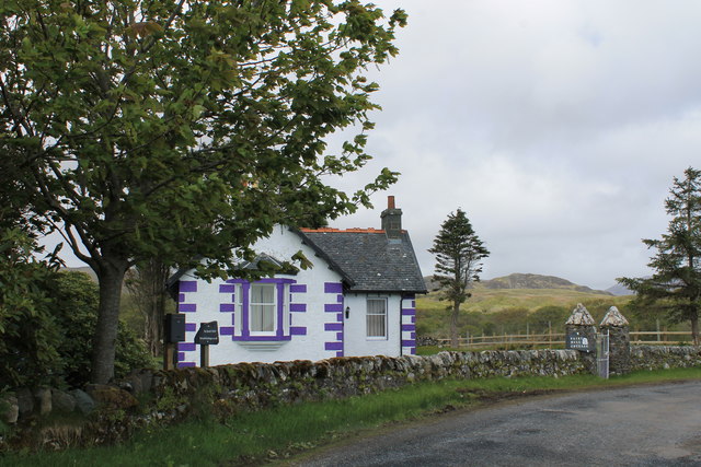
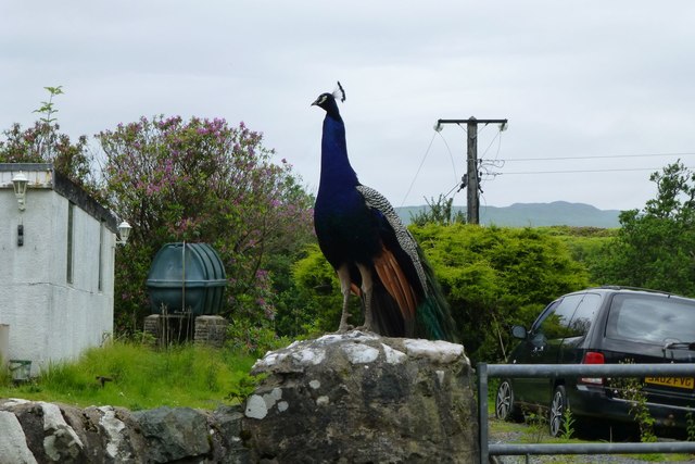
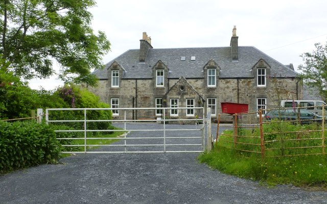
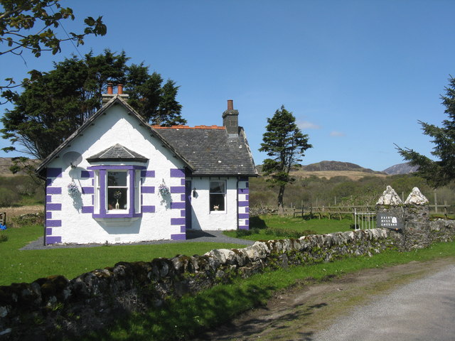
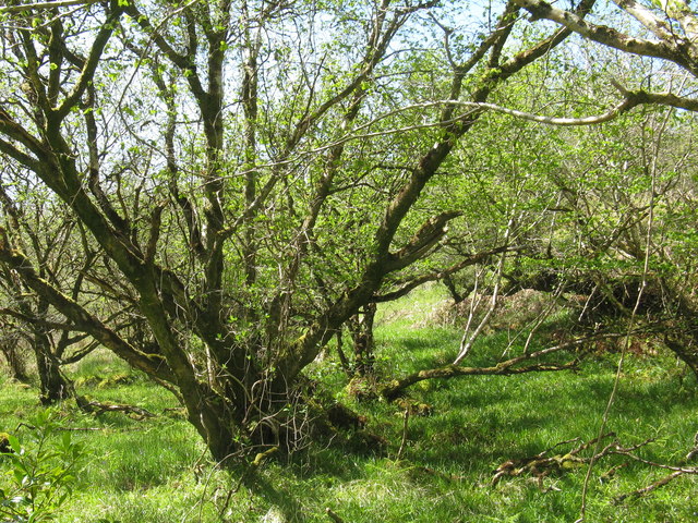
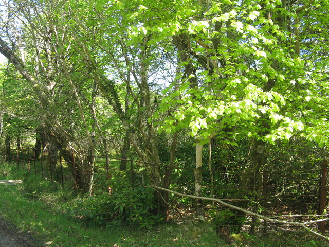
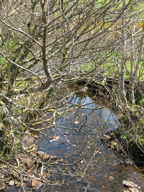
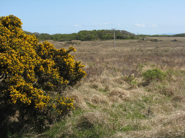
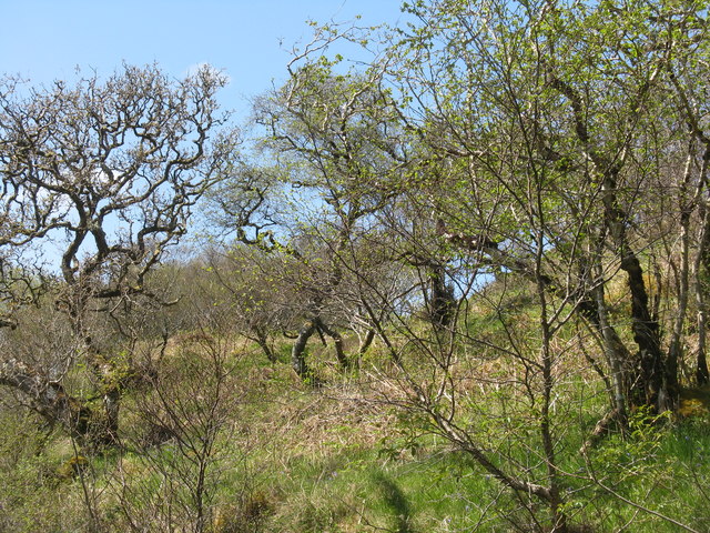
Rubha Thòrrnish Images

Images are sourced within 2km of 55.660721/-6.0720014 or Grid Reference NR4348. Thanks to Geograph Open Source API. All images are credited.

Fairy Hill Cottage The eye-catching holiday rental of Fairy Hill by Ardilistry.
Fairy Hill Cottage
The eye-catching holiday rental of Fairy Hill by Ardilistry.
Local resident at Tigh- Na- Croitean Near Kildalton House.
Local resident at Tigh- Na- Croitean
Near Kildalton House.
House backing onto Loch a' Chnuic
Traigh Liath Rubha Thorrnish on the left.
Traigh Liath
Rubha Thorrnish on the left.
Fairy Hill Cottage On the road to Ardtalla. Fairy Hill Cottage on the gate post, but The Gate House on the map. For two earlier pictures see <a href="https://www.geograph.org.uk/photo/5144678">NR4349 : Fairy Hill Cottage</a> and <a href="https://www.geograph.org.uk/photo/4046681">NR4349 : Fairy Hill Cottage</a>.
Fairy Hill Cottage
On the road to Ardtalla. Fairy Hill Cottage on the gate post, but The Gate House on the map. For two earlier pictures see NR4349 : Fairy Hill Cottage and NR4349 : Fairy Hill Cottage.
Hazel Coppice at Torr Mhuilinn Such woodland occurs extensively along the road to Ardtalla.
Hazel Coppice at Torr Mhuilinn
Such woodland occurs extensively along the road to Ardtalla.
Beech coming into leaf near Kildalton House
Milestone on the road to Ardtalla Slightly tipsy, but it reads 'PORT ELLEN V' on the top.
Milestone on the road to Ardtalla
Slightly tipsy, but it reads 'PORT ELLEN V' on the top.
Willows and Iris Damp scrub by the Gate House, on the road to Ardtalla.
Willows and Iris
Damp scrub by the Gate House, on the road to Ardtalla.
Cnoc Rhaonastil With deciduous woodland and rough grazing.
Cnoc Rhaonastil
With deciduous woodland and rough grazing.
Oak and Willow by the Ardilistry River
The Ardilistry River Looking upstream, with streamside Alders.
The Ardilistry River
Looking upstream, with streamside Alders.
The Ardilistry River Looking downstream from the bridge at Fairy Hill Cottage.
The Ardilistry River
Looking downstream from the bridge at Fairy Hill Cottage.
Moorland near Kildalton Looking south to a wooded rise.
Moorland near Kildalton
Looking south to a wooded rise.
Coille nam Bruach Open deciduous woodland along the road to Ardtalla.
Coille nam Bruach
Open deciduous woodland along the road to Ardtalla.
Milestone at Kildalton With Cnoc Rhaonastil beyond.
Milestone at Kildalton
With Cnoc Rhaonastil beyond.
Overlooking Ardilistry Bay From the road to Ardtalla from Port Ellen.
Overlooking Ardilistry Bay
From the road to Ardtalla from Port Ellen.
Old Milestone north of red Cottage, Kildalton and Oa parish Stone post by the UC road, in parish of Kildalton and Oa (Islay District), between woods, on verge by stone wall, Northwest side of road.

Inscription reads:-
PORT ELLEN
V

Surveyed

Milestone Society National ID: AB_IPEAT05
Old Milestone north of red Cottage, Kildalton and Oa parish
Stone post by the UC road, in parish of Kildalton and Oa (Islay District), between woods, on verge by stone wall, Northwest side of road. Inscription reads:- PORT ELLEN V Surveyed Milestone Society National ID: AB_IPEAT05
Show me another place!

Rubha Thòrrnish is located at Grid Ref: NR4348 (Lat: 55.660721, Lng: -6.0720014)

Unitary Authority: Argyll and Bute

Police Authority: Argyll and West Dunbartonshire

What 3 Words

///candidate.tricycle.cheaper. Near Port Ellen, Argyll & Bute

Related Wikis

Kildalton Castle

Kildalton Castle is a ruined Victorian country house near Port Ellen on the island of Islay in the Inner Hebrides, Argyll, Scotland. It was built in ashlar...

Ardilistry

Ardilistry is a settlement in Argyll and Bute, Scotland. == References ==

Loch an t-Sailein

Loch an t-Sailein is a sea loch at the southeast coast of Islay, Scotland. European seals frequently visit the shallow waters of this loch. A number of...

Kildalton Cross

The Kildalton Cross is a monolithic high cross in Celtic cross form in the churchyard of the former parish church of Kildalton (from Scottish Gaelic Cill...

Nearby Amenities

Located within 500m of 55.660721,-6.0720014
Source: PGS
Lat/Long: 55.6592865/-6.0782623
Source: PGS
Lat/Long: 55.659444/-6.0781177
Source: PGS
Lat/Long: 55.6597782/-6.077648
Source: PGS
Lat/Long: 55.6622171/-6.0670077
Power: pole
Lat/Long: 55.6610541/-6.0797749
Power: pole
Lat/Long: 55.6615353/-6.0791644
Power: pole
Lat/Long: 55.6627273/-6.0776617
Power: pole
Lat/Long: 55.6639384/-6.0761277
Ardilistry Bay
Natural: bay
Lat/Long: 55.6622945/-6.0705578
Loch a'Chnuic
Natural: bay
Lat/Long: 55.6587782/-6.0757184
Power: pole
Lat/Long: 55.6588041/-6.0788267
Power: pole
Lat/Long: 55.6621601/-6.0783768
Power: pole
Lat/Long: 55.6635021/-6.0766803
Power: pole
Lat/Long: 55.664472/-6.0754202
The data included in this document is from www.openstreetmap.org. The data is made available under ODbL.

Have you been to Rubha Thòrrnish?

Leave your review of Rubha Thòrrnish below (or comments, questions and feedback).