Cnoc Rhaonastil

Hill, Mountain in Argyllshire

Scotland

Cnoc Rhaonastil

Fairy Hill Cottage The eye-catching holiday rental of Fairy Hill by Ardilistry.
Fairy Hill Cottage Credit: Andrew Wood

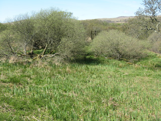
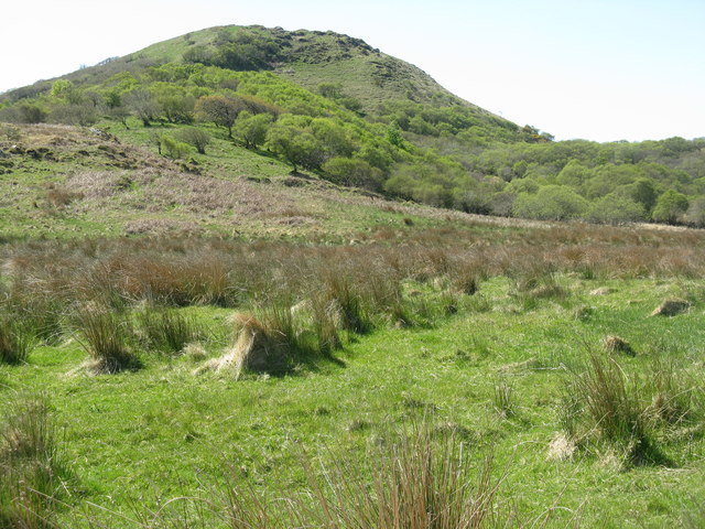
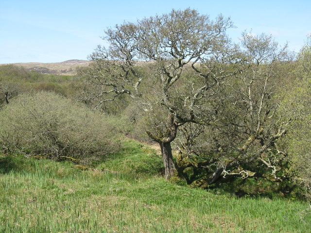
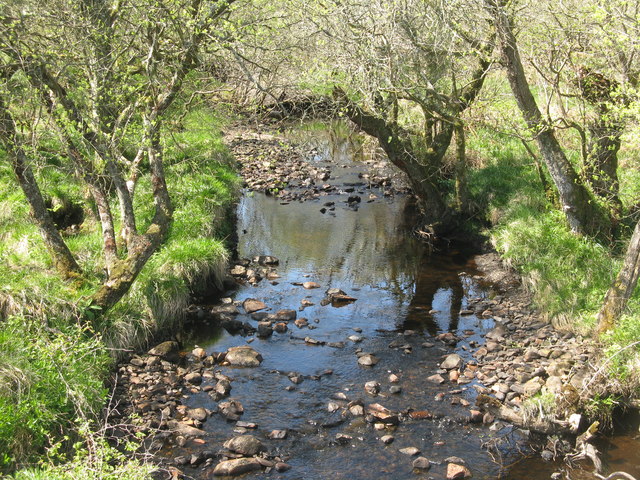
Cnoc Rhaonastil is a prominent hill/mountain located in Argyllshire, Scotland. Situated in the beautiful and remote landscape of the Scottish Highlands, it is part of the stunning scenery that attracts outdoor enthusiasts and nature lovers alike.

Rising to an impressive height of approximately 752 meters (2,467 feet), Cnoc Rhaonastil offers panoramic views of the surrounding area. Its location in Argyllshire provides breathtaking vistas of rolling hills, glens, and lochs, creating a picturesque backdrop for hikers and photographers. On a clear day, it is even possible to see the neighboring islands of Mull and Jura.

The hill/mountain is known for its challenging terrain, featuring steep slopes and rocky sections, which offer a thrilling experience for experienced climbers and hillwalkers. However, it is important for visitors to come prepared with suitable footwear and clothing, as the weather conditions in the Scottish Highlands can be unpredictable, even during the summer months.

Cnoc Rhaonastil is home to a variety of wildlife, including red deer, golden eagles, and ptarmigans. The area surrounding the hill/mountain is also rich in flora, with heather and wildflowers dotting the landscape, adding to its natural beauty.

Access to Cnoc Rhaonastil is typically gained through established trails, with the most popular route starting from a nearby car park. As it is located in a remote area, it is advisable to check weather conditions and inform someone of your plans before embarking on a hike to ensure a safe and enjoyable experience.

If you have any feedback on the listing, please let us know in the comments section below.

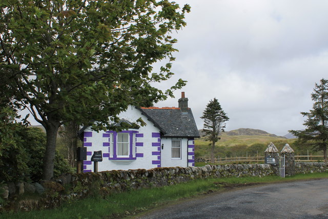
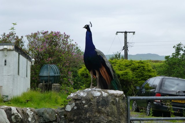
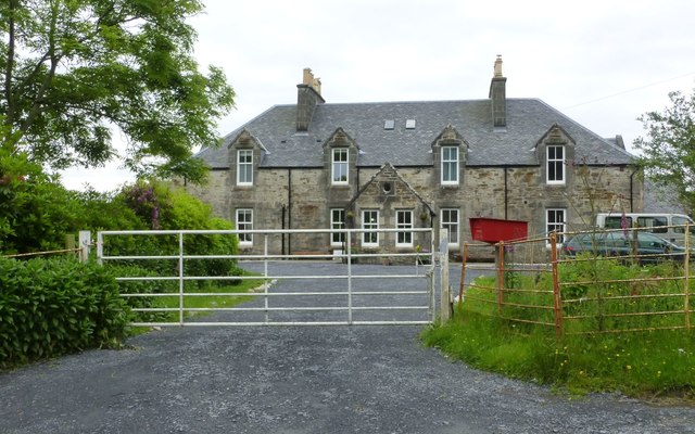
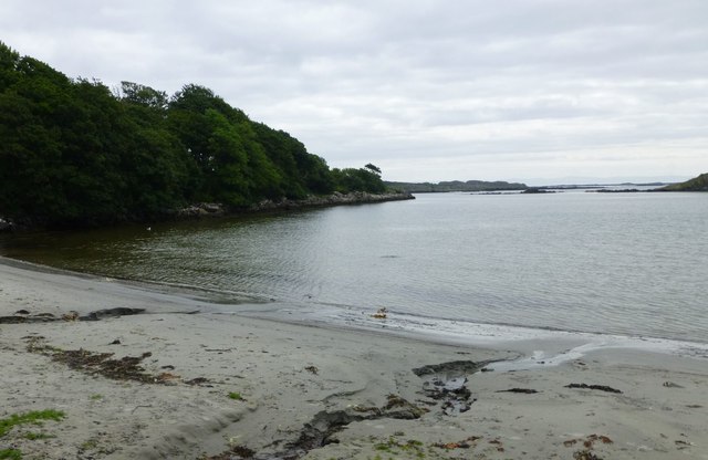
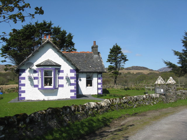
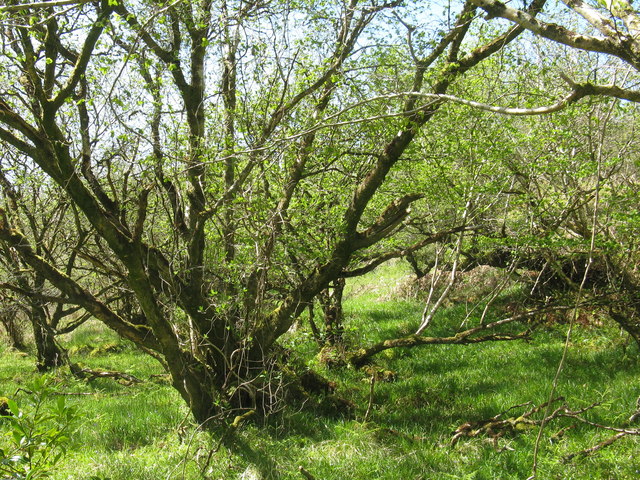
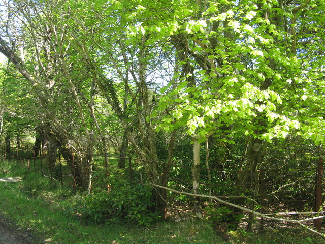
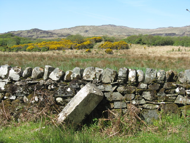
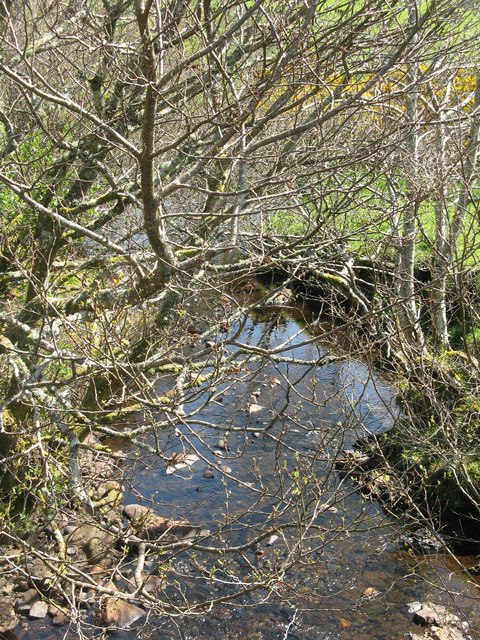
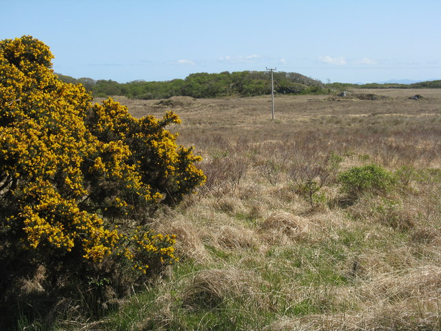
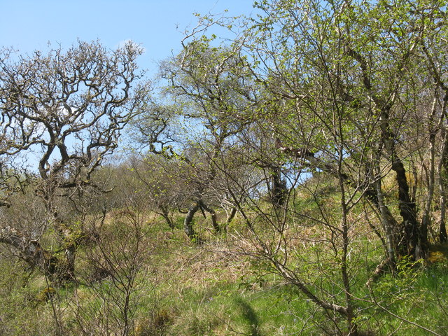
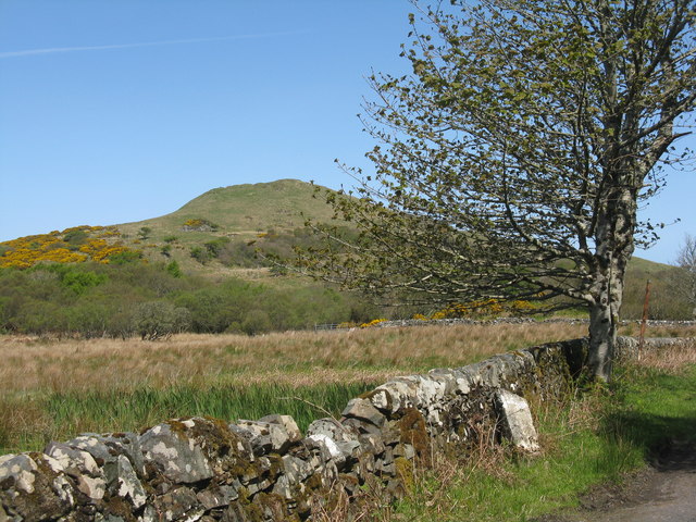
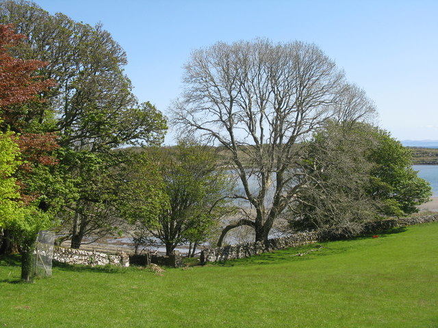
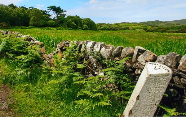
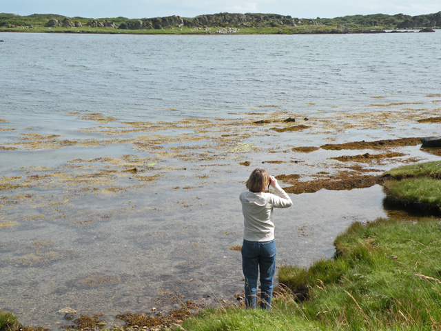
Cnoc Rhaonastil Images

Images are sourced within 2km of 55.662916/-6.0803597 or Grid Reference NR4348. Thanks to Geograph Open Source API. All images are credited.

Fairy Hill Cottage The eye-catching holiday rental of Fairy Hill by Ardilistry.
Fairy Hill Cottage
The eye-catching holiday rental of Fairy Hill by Ardilistry.
Local resident at Tigh- Na- Croitean Near Kildalton House.
Local resident at Tigh- Na- Croitean
Near Kildalton House.
House backing onto Loch a' Chnuic
Traigh Liath Rubha Thorrnish on the left.
Traigh Liath
Rubha Thorrnish on the left.
Fairy Hill Cottage On the road to Ardtalla. Fairy Hill Cottage on the gate post, but The Gate House on the map. For two earlier pictures see <a href="https://www.geograph.org.uk/photo/5144678">NR4349 : Fairy Hill Cottage</a> and <a href="https://www.geograph.org.uk/photo/4046681">NR4349 : Fairy Hill Cottage</a>.
Fairy Hill Cottage
On the road to Ardtalla. Fairy Hill Cottage on the gate post, but The Gate House on the map. For two earlier pictures see NR4349 : Fairy Hill Cottage and NR4349 : Fairy Hill Cottage.
Hazel Coppice at Torr Mhuilinn Such woodland occurs extensively along the road to Ardtalla.
Hazel Coppice at Torr Mhuilinn
Such woodland occurs extensively along the road to Ardtalla.
Beech coming into leaf near Kildalton House
Milestone on the road to Ardtalla Slightly tipsy, but it reads 'PORT ELLEN V' on the top.
Milestone on the road to Ardtalla
Slightly tipsy, but it reads 'PORT ELLEN V' on the top.
Willows and Iris Damp scrub by the Gate House, on the road to Ardtalla.
Willows and Iris
Damp scrub by the Gate House, on the road to Ardtalla.
Cnoc Rhaonastil With deciduous woodland and rough grazing.
Cnoc Rhaonastil
With deciduous woodland and rough grazing.
Oak and Willow by the Ardilistry River
The Ardilistry River Looking upstream, with streamside Alders.
The Ardilistry River
Looking upstream, with streamside Alders.
The Ardilistry River Looking downstream from the bridge at Fairy Hill Cottage.
The Ardilistry River
Looking downstream from the bridge at Fairy Hill Cottage.
Moorland near Kildalton Looking south to a wooded rise.
Moorland near Kildalton
Looking south to a wooded rise.
Coille nam Bruach Open deciduous woodland along the road to Ardtalla.
Coille nam Bruach
Open deciduous woodland along the road to Ardtalla.
Milestone at Kildalton With Cnoc Rhaonastil beyond.
Milestone at Kildalton
With Cnoc Rhaonastil beyond.
Overlooking Ardilistry Bay From the road to Ardtalla from Port Ellen.
Overlooking Ardilistry Bay
From the road to Ardtalla from Port Ellen.
Old Milestone north of red Cottage, Kildalton and Oa parish Stone post by the UC road, in parish of Kildalton and Oa (Islay District), between woods, on verge by stone wall, Northwest side of road.

Inscription reads:-
PORT ELLEN
V

Surveyed

Milestone Society National ID: AB_IPEAT05
Old Milestone north of red Cottage, Kildalton and Oa parish
Stone post by the UC road, in parish of Kildalton and Oa (Islay District), between woods, on verge by stone wall, Northwest side of road. Inscription reads:- PORT ELLEN V Surveyed Milestone Society National ID: AB_IPEAT05
Show me another place!

Cnoc Rhaonastil is located at Grid Ref: NR4348 (Lat: 55.662916, Lng: -6.0803597)

Unitary Authority: Argyll and Bute

Police Authority: Argyll and West Dunbartonshire

What 3 Words

///spin.ombudsman.pricing. Near Port Ellen, Argyll & Bute

Related Wikis

Ardilistry

Ardilistry is a settlement in Argyll and Bute, Scotland. == References ==

Kildalton Castle

Kildalton Castle is a ruined Victorian country house near Port Ellen on the island of Islay in the Inner Hebrides, Argyll, Scotland. It was built in ashlar...

Loch an t-Sailein

Loch an t-Sailein is a sea loch at the southeast coast of Islay, Scotland. European seals frequently visit the shallow waters of this loch. A number of...

Ardbeg distillery

Ardbeg distillery (Scottish Gaelic: Taigh-staile na h-Àirde Bige) is a Scotch whisky distillery in Ardbeg on the south coast of the isle of Islay, Argyll...

Nearby Amenities

Located within 500m of 55.662916,-6.0803597
Source: PGS
Lat/Long: 55.6592865/-6.0782623
Source: PGS
Lat/Long: 55.659444/-6.0781177
Source: PGS
Lat/Long: 55.6597782/-6.077648
Power: pole
Lat/Long: 55.6592351/-6.0820446
Power: pole
Lat/Long: 55.6601196/-6.0809489
Power: pole
Lat/Long: 55.6610541/-6.0797749
Power: pole
Lat/Long: 55.6615353/-6.0791644
Power: pole
Lat/Long: 55.6627273/-6.0776617
Power: pole
Lat/Long: 55.6639384/-6.0761277
Power: pole
Lat/Long: 55.665117/-6.074565
Power: pole
Lat/Long: 55.6655482/-6.0740406
Power: pole
Lat/Long: 55.6597285/-6.0814334
Power: pole
Lat/Long: 55.6593982/-6.0804894
Power: pole
Lat/Long: 55.6591386/-6.0797666
Power: pole
Lat/Long: 55.6588041/-6.0788267
Power: pole
Lat/Long: 55.6606962/-6.0802245
Power: pole
Lat/Long: 55.6621601/-6.0783768
Power: pole
Lat/Long: 55.6635021/-6.0766803
Power: pole
Lat/Long: 55.664472/-6.0754202
The data included in this document is from www.openstreetmap.org. The data is made available under ODbL.

Have you been to Cnoc Rhaonastil?

Leave your review of Cnoc Rhaonastil below (or comments, questions and feedback).