Cruachan Loch Tràth
Hill, Mountain in Argyllshire
Scotland
Cruachan Loch Tràth

Cruachan Loch Tràth is a prominent hill located in Argyllshire, Scotland. Situated near the village of Taynuilt, it is a popular destination for hikers and nature enthusiasts. Cruachan Loch Tràth stands at an elevation of approximately 563 meters (1,847 feet), offering breathtaking panoramic views of the surrounding landscapes.
This hill is known for its rugged and rocky terrain, which provides a challenging yet rewarding hiking experience. The ascent to the summit can be steep at times, but the effort is well worth it for the spectacular vistas it offers. On clear days, visitors can enjoy sweeping views of the nearby Loch Etive and the surrounding mountains of the Scottish Highlands.
Cruachan Loch Tràth is also home to a diverse range of flora and fauna. The hillside is covered in heather and grasses, providing a habitat for various bird species, including the iconic golden eagle and peregrine falcon. Hikers may also encounter red deer and other wildlife along the way.
Aside from its natural beauty, Cruachan Loch Tràth holds historical significance. It is believed that the hill was used as a place of refuge and defense during ancient times. Ruins of Iron Age forts and stone structures can still be found on its slopes, serving as a reminder of its past.
Overall, Cruachan Loch Tràth is a must-visit destination for those seeking a challenging hike, stunning views, and a glimpse into Scotland's rich history and natural wonders.
If you have any feedback on the listing, please let us know in the comments section below.
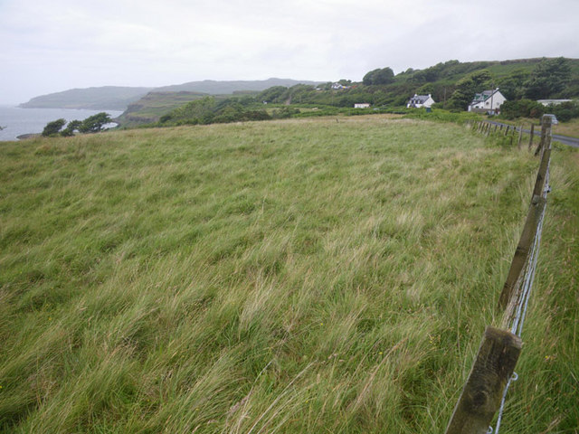
Cruachan Loch Tràth Images
Images are sourced within 2km of 56.526773/-6.1725479 or Grid Reference NM4344. Thanks to Geograph Open Source API. All images are credited.


Cruachan Loch Tràth is located at Grid Ref: NM4344 (Lat: 56.526773, Lng: -6.1725479)
Unitary Authority: Argyll and Bute
Police Authority: Argyll and West Dunbartonshire
What 3 Words
///promoting.hologram.warrior. Near Dervaig, Argyll & Bute
Nearby Locations
Related Wikis

Achleck
Achleck is a small settlement in the north-west of the Isle of Mull in Argyll and Bute, Scotland. == References ==
Torloisk House
Torloisk House (sometimes referred to as Torluck House in 19th century references) on the Isle of Mull, Argyll in Scotland was the family seat held by...

Loch Tuath
Loch Tuath (Scottish Gaelic: Loch-a-Tuath) is a sea loch in the Inner Hebrides, Scotland that separates the Isle of Mull and the island of Ulva. Loch Tuath...
Eas Fors
Eas Fors is a waterfall on the island of Mull in Scotland. It is situated on the Ardow Burn south of Dervaig. There is another Eas Fors on the Allt an...
Have you been to Cruachan Loch Tràth?
Leave your review of Cruachan Loch Tràth below (or comments, questions and feedback).