Saothair an Daoi

Coastal Marsh, Saltings in Argyllshire

Scotland

Saothair an Daoi

Fairy Hill Cottage The eye-catching holiday rental of Fairy Hill by Ardilistry.
Fairy Hill Cottage Credit: Andrew Wood

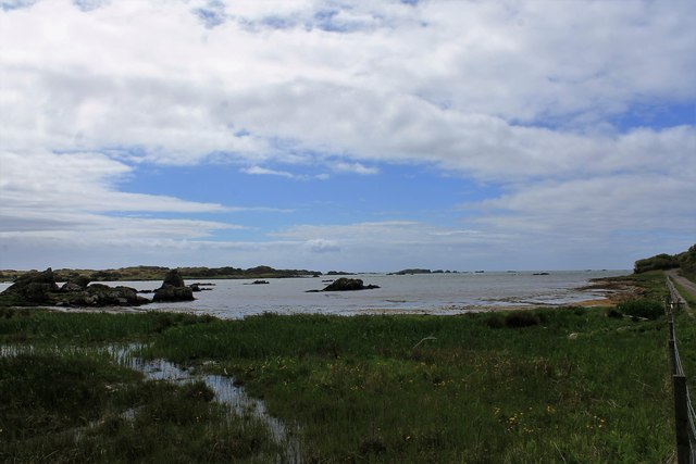
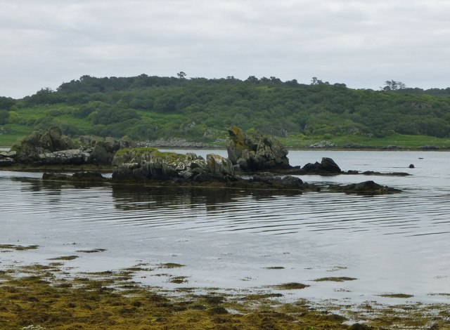
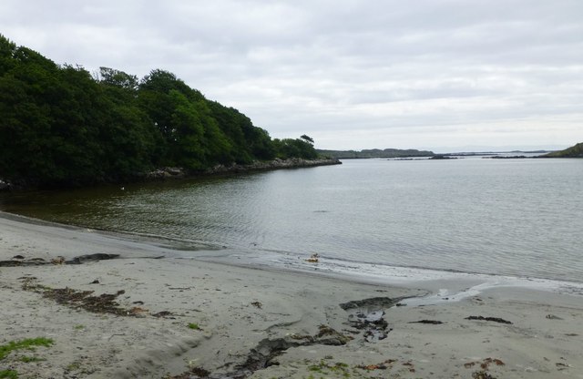
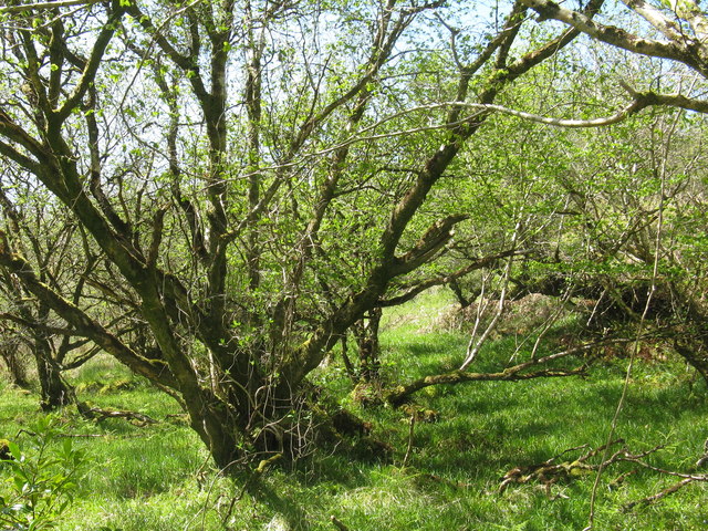
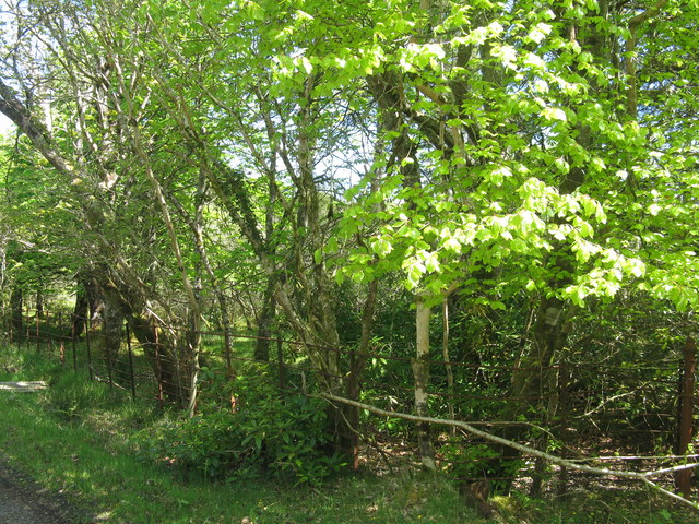
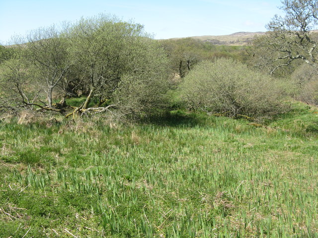
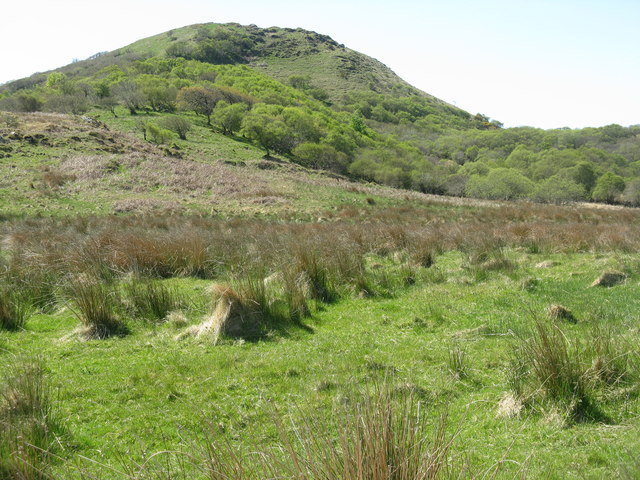
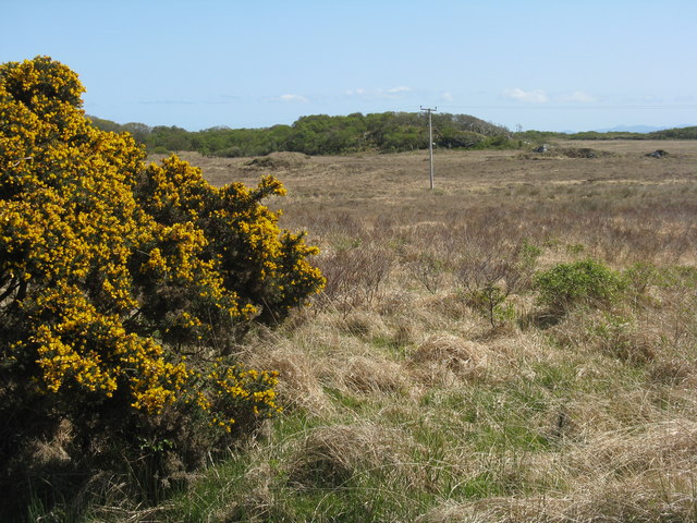
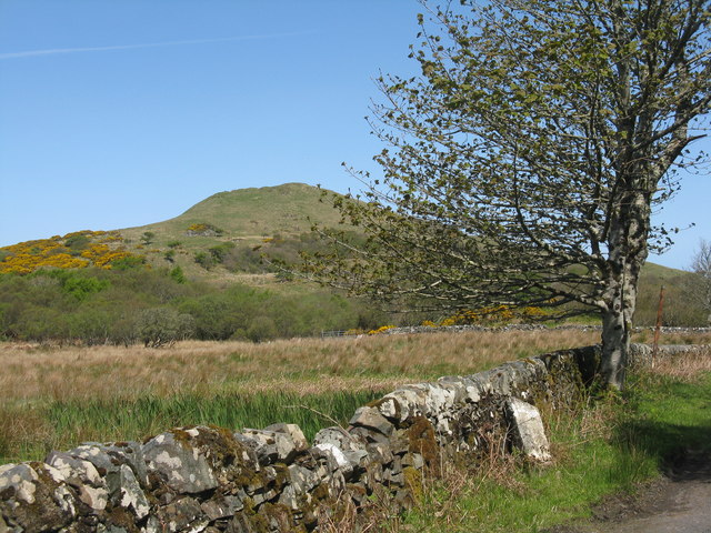
Saothair an Daoi is a coastal marsh located in Argyllshire, Scotland. Situated along the rugged western coast, it is known for its stunning natural beauty and diverse ecosystem. The marsh covers a vast area, extending from the shoreline into the saltwater flats known as saltings.

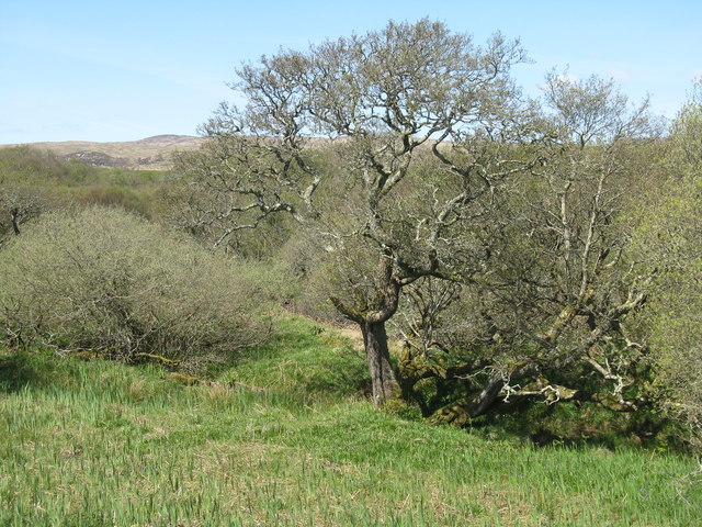
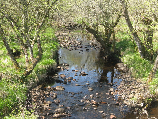
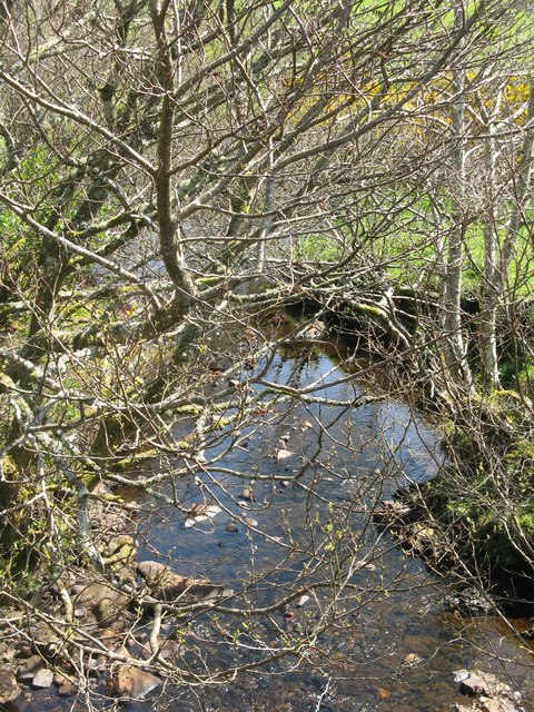
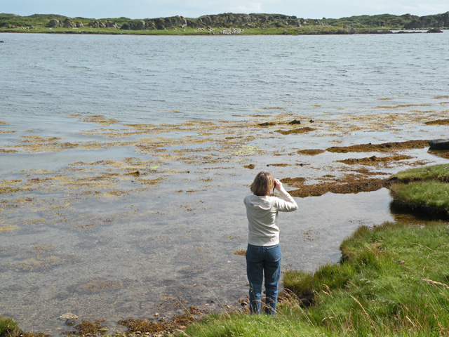
The marsh is characterized by its wet and waterlogged conditions, which are the result of a combination of tidal influence and freshwater runoff from nearby rivers and streams. This unique environment supports a wide range of plant and animal species that are specially adapted to thrive in such conditions.

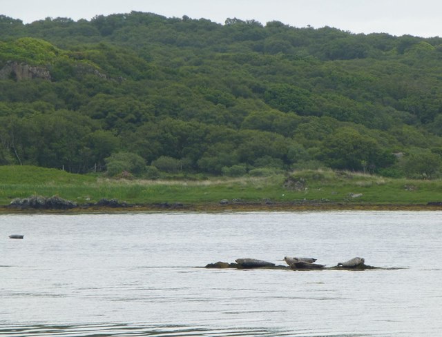
Visitors to Saothair an Daoi can expect to find a rich variety of vegetation, including salt-tolerant grasses, rushes, and sedges. These plants provide important habitats and food sources for numerous bird species, such as wading birds, ducks, and geese, which can be observed throughout the year.

The marsh also serves as a breeding ground and nursery for various fish and invertebrates, which take advantage of the nutrient-rich waters. As a result, Saothair an Daoi is a popular spot for anglers, who come to try their luck at catching species like sea trout and flounder.

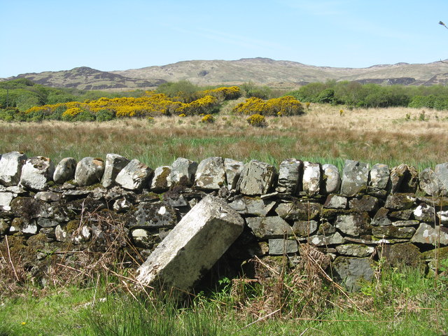
In addition to its ecological significance, Saothair an Daoi holds cultural and historical value. The marsh has been inhabited by humans for centuries, and remnants of ancient settlements can still be found in the area. These archaeological sites provide a glimpse into the lives of past communities and contribute to the overall allure of the marsh.

Overall, Saothair an Daoi is a captivating coastal marsh that offers a mesmerizing blend of natural beauty, biodiversity, and historical significance.

If you have any feedback on the listing, please let us know in the comments section below.

Saothair an Daoi Images

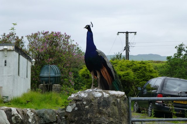
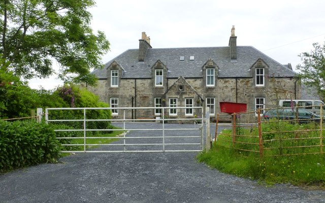
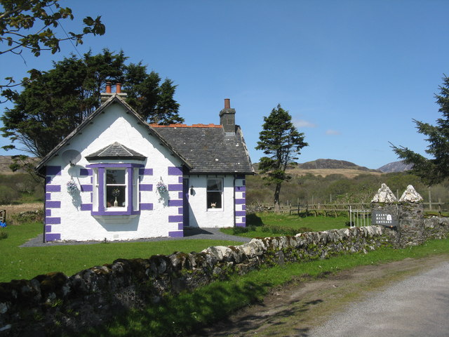
Images are sourced within 2km of 55.658419/-6.0779344 or Grid Reference NR4348. Thanks to Geograph Open Source API. All images are credited.

Fairy Hill Cottage The eye-catching holiday rental of Fairy Hill by Ardilistry.
Fairy Hill Cottage
The eye-catching holiday rental of Fairy Hill by Ardilistry.
Loch an t-Sailean A sea loch, with an irregular outline, famed for seal and birdlife.
Loch an t-Sailean
A sea loch, with an irregular outline, famed for seal and birdlife.
Seals on the rocks In Loch an t-Sàilein.
Seals on the rocks
In Loch an t-Sàilein.
Rocks at Rubha Buidhe In Loch an t-Sàilein.
Rocks at Rubha Buidhe
In Loch an t-Sàilein.
Local resident at Tigh- Na- Croitean Near Kildalton House.
Local resident at Tigh- Na- Croitean
Near Kildalton House.
House backing onto Loch a' Chnuic
Traigh Liath Rubha Thorrnish on the left.
Traigh Liath
Rubha Thorrnish on the left.
Fairy Hill Cottage On the road to Ardtalla. Fairy Hill Cottage on the gate post, but The Gate House on the map. For two earlier pictures see <a href="https://www.geograph.org.uk/photo/5144678">NR4349 : Fairy Hill Cottage</a> and <a href="https://www.geograph.org.uk/photo/4046681">NR4349 : Fairy Hill Cottage</a>.
Fairy Hill Cottage
On the road to Ardtalla. Fairy Hill Cottage on the gate post, but The Gate House on the map. For two earlier pictures see NR4349 : Fairy Hill Cottage and NR4349 : Fairy Hill Cottage.
Hazel Coppice at Torr Mhuilinn Such woodland occurs extensively along the road to Ardtalla.
Hazel Coppice at Torr Mhuilinn
Such woodland occurs extensively along the road to Ardtalla.
Beech coming into leaf near Kildalton House
Milestone on the road to Ardtalla Slightly tipsy, but it reads 'PORT ELLEN V' on the top.
Milestone on the road to Ardtalla
Slightly tipsy, but it reads 'PORT ELLEN V' on the top.
Willows and Iris Damp scrub by the Gate House, on the road to Ardtalla.
Willows and Iris
Damp scrub by the Gate House, on the road to Ardtalla.
Cnoc Rhaonastil With deciduous woodland and rough grazing.
Cnoc Rhaonastil
With deciduous woodland and rough grazing.
Oak and Willow by the Ardilistry River
The Ardilistry River Looking upstream, with streamside Alders.
The Ardilistry River
Looking upstream, with streamside Alders.
The Ardilistry River Looking downstream from the bridge at Fairy Hill Cottage.
The Ardilistry River
Looking downstream from the bridge at Fairy Hill Cottage.
Moorland near Kildalton Looking south to a wooded rise.
Moorland near Kildalton
Looking south to a wooded rise.
Milestone at Kildalton With Cnoc Rhaonastil beyond.
Milestone at Kildalton
With Cnoc Rhaonastil beyond.
Show me another place!

Saothair an Daoi is located at Grid Ref: NR4348 (Lat: 55.658419, Lng: -6.0779344)

Unitary Authority: Argyll and Bute

Police Authority: Argyll and West Dunbartonshire

What 3 Words

///anchovies.poodle.hazelnuts. Near Port Ellen, Argyll & Bute

Related Wikis

Kildalton Castle

Kildalton Castle is a ruined Victorian country house near Port Ellen on the island of Islay in the Inner Hebrides, Argyll, Scotland. It was built in ashlar...

Ardilistry

Ardilistry is a settlement in Argyll and Bute, Scotland. == References ==

Loch an t-Sailein

Loch an t-Sailein is a sea loch at the southeast coast of Islay, Scotland. European seals frequently visit the shallow waters of this loch. A number of...

Ardbeg distillery

Ardbeg distillery (Scottish Gaelic: Taigh-staile na h-Àirde Bige) is a Scotch whisky distillery in Ardbeg on the south coast of the isle of Islay, Argyll...

Nearby Amenities

Located within 500m of 55.658419,-6.0779344
Source: PGS
Lat/Long: 55.6592865/-6.0782623
Source: PGS
Lat/Long: 55.659444/-6.0781177
Source: PGS
Lat/Long: 55.6597782/-6.077648
Power: pole
Lat/Long: 55.65795/-6.0834247
Power: pole
Lat/Long: 55.6592351/-6.0820446
Power: pole
Lat/Long: 55.6601196/-6.0809489
Power: pole
Lat/Long: 55.6610541/-6.0797749
Power: pole
Lat/Long: 55.6615353/-6.0791644
Power: pole
Lat/Long: 55.6627273/-6.0776617
Loch a'Chnuic
Natural: bay
Lat/Long: 55.6587782/-6.0757184
Power: pole
Lat/Long: 55.6584791/-6.0828565
Power: pole
Lat/Long: 55.6597285/-6.0814334
Power: pole
Lat/Long: 55.6593982/-6.0804894
Power: pole
Lat/Long: 55.6591386/-6.0797666
Power: pole
Lat/Long: 55.6588041/-6.0788267
Power: pole
Lat/Long: 55.6606962/-6.0802245
Power: pole
Lat/Long: 55.6621601/-6.0783768
The data included in this document is from www.openstreetmap.org. The data is made available under ODbL.

Have you been to Saothair an Daoi?

Leave your review of Saothair an Daoi below (or comments, questions and feedback).