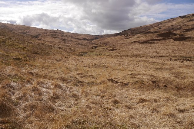
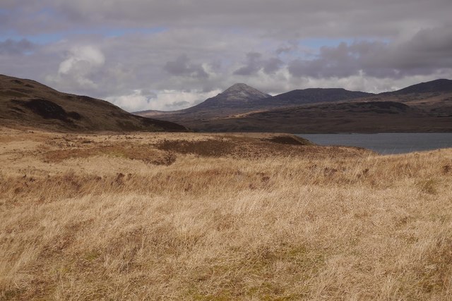
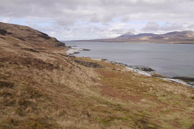
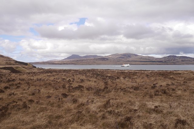
Lùb Gleann Logain
Coastal Marsh, Saltings in Argyllshire
Scotland
Lùb Gleann Logain

The requested URL returned error: 429 Too Many Requests
If you have any feedback on the listing, please let us know in the comments section below.
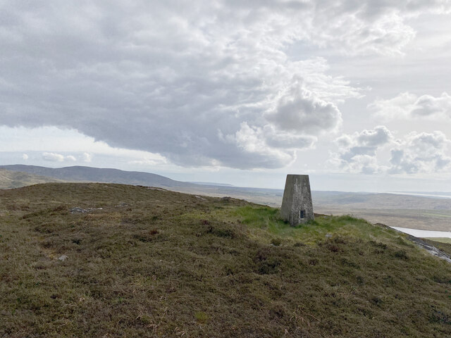
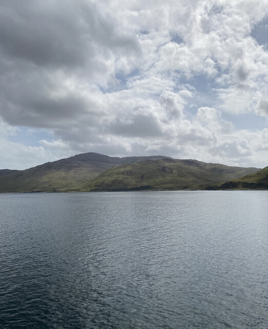
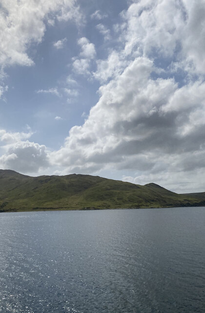
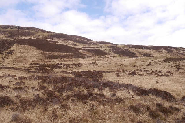
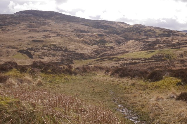
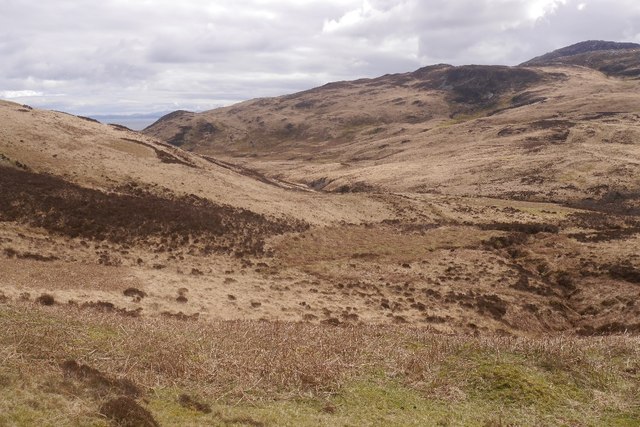
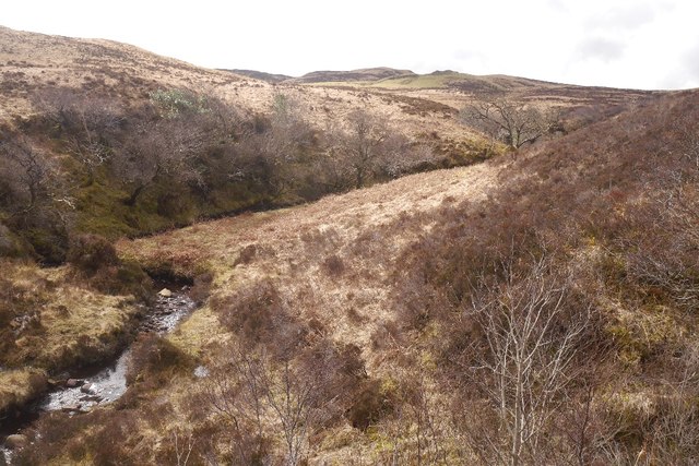
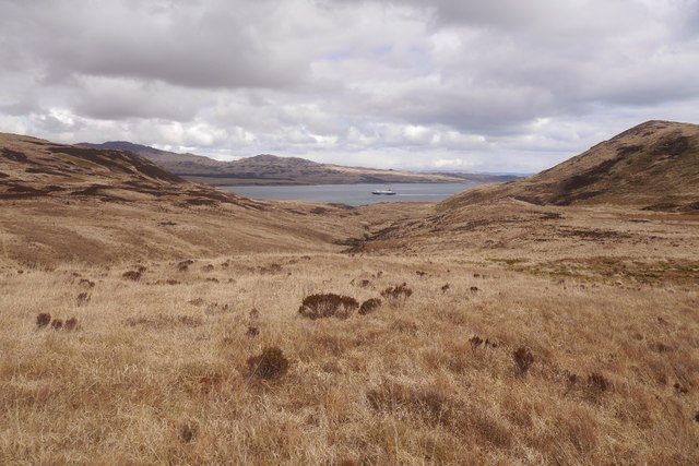
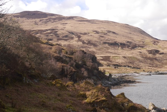
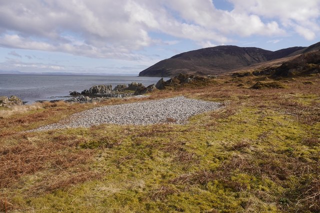
Lùb Gleann Logain Images
Images are sourced within 2km of 55.789985/-6.090878 or Grid Reference NR4362. Thanks to Geograph Open Source API. All images are credited.


Lùb Gleann Logain is located at Grid Ref: NR4362 (Lat: 55.789985, Lng: -6.090878)
Unitary Authority: Argyll and Bute
Police Authority: Argyll and West Dunbartonshire
What 3 Words
///polar.firmer.tags. Near Ballygrant, Argyll & Bute
Nearby Locations
Related Wikis

Claig Castle
Claig Castle was a stronghold of the Clan Donald or MacDonald in the south of Scotland. == History == The castle was once a massive fort described as a...

Islay
Islay ( EYE-lə; Scottish Gaelic: Ìle, Scots: Ila) is the southernmost island of the Inner Hebrides of Scotland. Known as "The Queen of the Hebrides",...

Ardfin
Ardfin is a country estate on the island of Jura, Inner Hebrides, Scotland. It is situated at the southern tip of the island, between Feolin and Craighouse...

Dun Guaidhre
Dun Guaidhre, also known as Dùn Ghùaidhre, is an Iron Age fort southwest of Kilmeny, Islay, Scotland. It is protected as a scheduled monument.Local tradition...
Have you been to Lùb Gleann Logain?
Leave your review of Lùb Gleann Logain below (or comments, questions and feedback).