Beach Hay
Settlement in Worcestershire Malvern Hills
England
Beach Hay
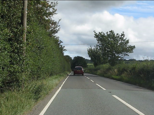
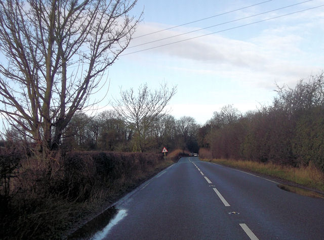
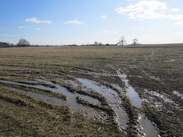
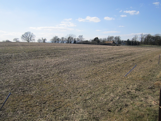
Beach Hay is a small village located in the county of Worcestershire, England. Situated approximately 10 miles southeast of the city of Worcester, it is nestled in the heart of the picturesque countryside and surrounded by lush green fields.
The village itself is characterized by its charming, traditional English architecture, with a mix of old cottages and more modern houses. It has a close-knit community, with a population of around 500 residents. The village is known for its peaceful and idyllic setting, making it a desirable place to live for those seeking a quieter lifestyle.
Despite its small size, Beach Hay offers a range of amenities to its residents. These include a local village hall, a primary school, and a small convenience store. The village also boasts a welcoming pub, where locals and visitors alike can gather for a drink or a meal.
Surrounded by natural beauty, Beach Hay is a haven for outdoor enthusiasts. The area offers numerous walking and cycling routes, allowing residents to explore the scenic countryside and enjoy the fresh air. Additionally, the nearby River Severn provides opportunities for boating and fishing.
Overall, Beach Hay offers a tranquil and picturesque setting for its residents. Its strong sense of community, beautiful surroundings, and convenient amenities make it a desirable place to call home in Worcestershire.
If you have any feedback on the listing, please let us know in the comments section below.
Beach Hay Images
Images are sourced within 2km of 52.365074/-2.419993 or Grid Reference SO7174. Thanks to Geograph Open Source API. All images are credited.


Beach Hay is located at Grid Ref: SO7174 (Lat: 52.365074, Lng: -2.419993)
Administrative County: Worcestershire
District: Malvern Hills
Police Authority: West Mercia
What 3 Words
///lookout.riverside.notices. Near Cleobury Mortimer, Shropshire
Nearby Locations
Related Wikis

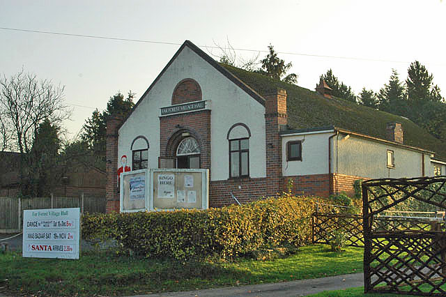
Far Forest
Far Forest is a small village in north Worcestershire, England, approximately 3.5 miles (5.6 km) west of Bewdley, and next to the border with Shropshire...

Cleobury Mortimer railway station
Cleobury Mortimer railway station was a station in Cleobury Mortimer, Shropshire, England. The station was opened in 1864 and closed in 1962. Station buildings...

Wyre Forest railway station
Wyre Forest railway station was a station to the north of Far Forest, Worcestershire, England. The station which served the Wyre Forest was opened in 1869...
Fingerpost, Worcestershire
Fingerpost is a hamlet and road junction in north Worcestershire, England, approximately 3 miles (4.8 km) west of Bewdley. It is located at the junction...
Bayton
Bayton is a village and civil parish in the Malvern Hills District of Worcestershire, England. According to the 2021 census it had a population of 535...

Clows Top
Clows Top is a village in north Worcestershire, England. There is a village shop/post office, a butcher's, a village hall (named the "Victory Hall") and...
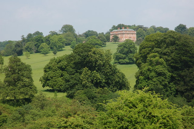
Mawley Hall
Mawley Hall is a privately owned 18th-century country mansion near Cleobury Mortimer, Shropshire, England. It is a Grade I listed building.The Blount family...

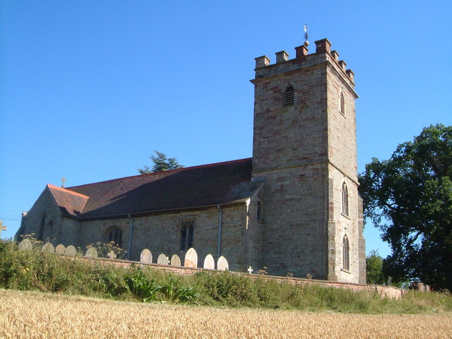
Church of St Peter and St Paul, Rock
The Church of St Peter and St Paul is an Anglican church in the village of Rock, in Worcestershire, England. It is in the parish of Rock with Heightington...
Nearby Amenities
Located within 500m of 52.365074,-2.419993Have you been to Beach Hay?
Leave your review of Beach Hay below (or comments, questions and feedback).